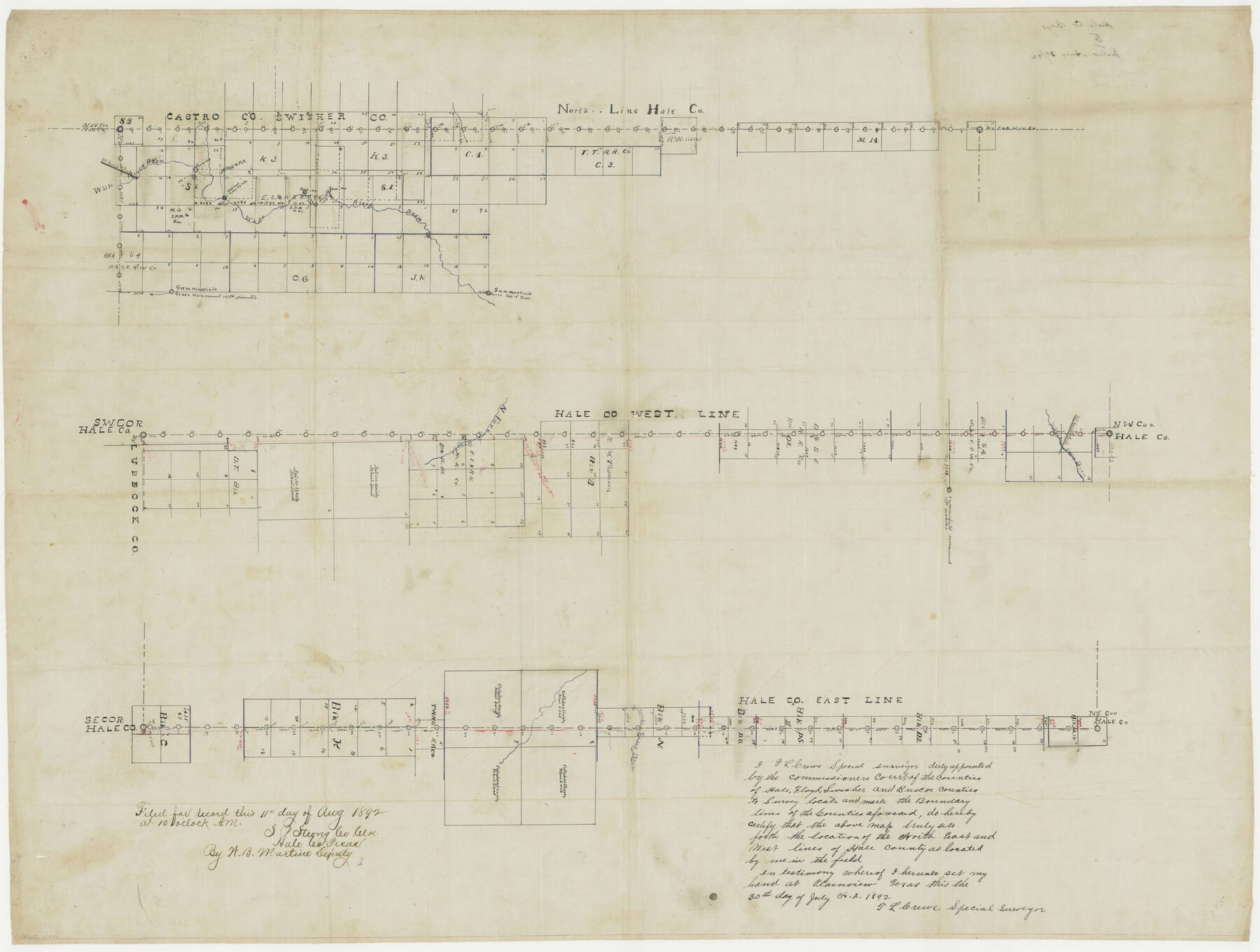
Hale County Boundary File 3
-
Map/Doc
54046
-
Collection
General Map Collection
-
Counties
Hale
-
Subjects
County Boundaries
-
Height x Width
31.4 x 41.5 inches
79.8 x 105.4 cm
Part of: General Map Collection
Pecos County Sketch File 22

Print $20.00
- Digital $50.00
Pecos County Sketch File 22
1886
Size 14.0 x 8.8 inches
Map/Doc 33670
Goliad County Sketch File 37

Print $4.00
- Digital $50.00
Goliad County Sketch File 37
1850
Size 10.2 x 8.3 inches
Map/Doc 24336
Henderson County Rolled Sketch 12

Print $20.00
- Digital $50.00
Henderson County Rolled Sketch 12
1980
Size 22.8 x 19.1 inches
Map/Doc 6204
Roberts County Working Sketch 17

Print $20.00
- Digital $50.00
Roberts County Working Sketch 17
1975
Size 36.1 x 37.3 inches
Map/Doc 63543
Flight Mission No. DIX-5P, Frame 138, Aransas County

Print $20.00
- Digital $50.00
Flight Mission No. DIX-5P, Frame 138, Aransas County
1956
Size 17.7 x 17.9 inches
Map/Doc 83799
San Patricio County Rolled Sketch 54

Print $20.00
- Digital $50.00
San Patricio County Rolled Sketch 54
1995
Size 25.3 x 36.5 inches
Map/Doc 7740
Wichita County

Print $20.00
- Digital $50.00
Wichita County
1924
Size 32.1 x 39.1 inches
Map/Doc 16924
Flight Mission No. DQN-5K, Frame 141, Calhoun County

Print $20.00
- Digital $50.00
Flight Mission No. DQN-5K, Frame 141, Calhoun County
1953
Size 18.7 x 21.9 inches
Map/Doc 84416
Ector County Working Sketch 20

Print $40.00
- Digital $50.00
Ector County Working Sketch 20
1958
Size 61.5 x 38.4 inches
Map/Doc 68863
Kinney County Sketch File 16a

Print $40.00
- Digital $50.00
Kinney County Sketch File 16a
Size 12.8 x 16.0 inches
Map/Doc 29133
Lamb County Sketch File 17

Print $20.00
- Digital $50.00
Lamb County Sketch File 17
1940
Size 25.4 x 12.3 inches
Map/Doc 11973
Calhoun County Rolled Sketch 30

Print $20.00
- Digital $50.00
Calhoun County Rolled Sketch 30
1974
Size 18.6 x 27.2 inches
Map/Doc 5497
You may also like
Dallas County Sketch File 7

Print $4.00
- Digital $50.00
Dallas County Sketch File 7
1858
Size 10.4 x 8.5 inches
Map/Doc 20408
Bandera County Working Sketch 15

Print $20.00
- Digital $50.00
Bandera County Working Sketch 15
1938
Size 18.1 x 17.4 inches
Map/Doc 67608
Flight Mission No. CLL-1N, Frame 107, Willacy County

Print $20.00
- Digital $50.00
Flight Mission No. CLL-1N, Frame 107, Willacy County
1954
Size 18.5 x 22.1 inches
Map/Doc 87041
Edwards County Rolled Sketch 22

Print $20.00
- Digital $50.00
Edwards County Rolled Sketch 22
1951
Size 46.0 x 25.4 inches
Map/Doc 8845
Kinney County Rolled Sketch 6

Print $20.00
- Digital $50.00
Kinney County Rolled Sketch 6
Size 27.1 x 36.8 inches
Map/Doc 6536
Jackson County Sketch File 9

Print $24.00
- Digital $50.00
Jackson County Sketch File 9
1898
Size 11.3 x 8.8 inches
Map/Doc 27651
Comanche County Sketch File 10

Print $4.00
- Digital $50.00
Comanche County Sketch File 10
1859
Size 8.4 x 16.0 inches
Map/Doc 19070
Upton County Sketch File 43

Print $22.00
- Digital $50.00
Upton County Sketch File 43
1988
Size 11.4 x 8.8 inches
Map/Doc 38920
Duval County Boundary File 3g

Print $4.00
- Digital $50.00
Duval County Boundary File 3g
Size 9.9 x 7.8 inches
Map/Doc 52747
Flight Mission No. DCL-7C, Frame 108, Kenedy County

Print $20.00
- Digital $50.00
Flight Mission No. DCL-7C, Frame 108, Kenedy County
1943
Size 18.3 x 22.2 inches
Map/Doc 86073
Leon County Working Sketch 27

Print $20.00
- Digital $50.00
Leon County Working Sketch 27
1970
Size 22.4 x 24.4 inches
Map/Doc 70426
Coast Chart No. 210 - Aransas Pass and Corpus Christi Bay with the coast to latitude 27° 12', Texas

Print $20.00
- Digital $50.00
Coast Chart No. 210 - Aransas Pass and Corpus Christi Bay with the coast to latitude 27° 12', Texas
1887
Size 30.4 x 24.0 inches
Map/Doc 73444