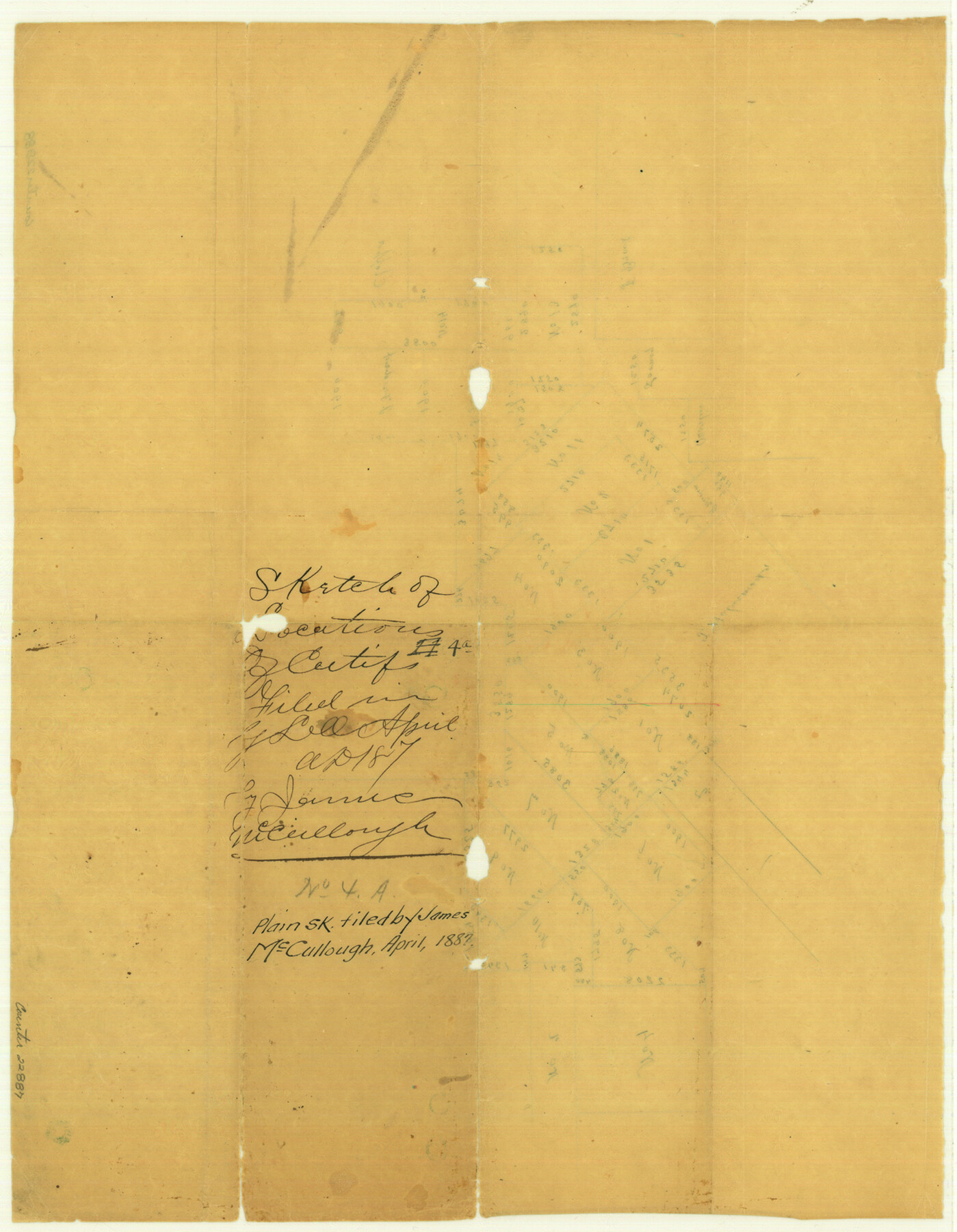
Fort Bend County Sketch File 4a
[Plain sketch in Fort Bend County]
-
Map/Doc
22887
-
Collection
General Map Collection
-
Object Dates
1887 (Creation Date)
1887 (Survey Date)
-
People and Organizations
James McCullough ()
-
Counties
Fort Bend
-
Subjects
Surveying Sketch File
-
Height x Width
15.8 x 12.3 inches
40.1 x 31.2 cm
-
Medium
paper, manuscript
Part of: General Map Collection
Harris County NRC Article 33.136 Sketch 17

Print $26.00
- Digital $50.00
Harris County NRC Article 33.136 Sketch 17
2011
Size 22.0 x 17.0 inches
Map/Doc 94758
Flight Mission No. CRC-5R, Frame 43, Chambers County

Print $20.00
- Digital $50.00
Flight Mission No. CRC-5R, Frame 43, Chambers County
1956
Size 18.6 x 22.3 inches
Map/Doc 84962
Cooke County Sketch File 14

Print $4.00
- Digital $50.00
Cooke County Sketch File 14
Size 10.3 x 8.2 inches
Map/Doc 19248
Flight Mission No. BRE-1P, Frame 105, Nueces County

Print $20.00
- Digital $50.00
Flight Mission No. BRE-1P, Frame 105, Nueces County
1956
Size 18.4 x 22.2 inches
Map/Doc 86676

Map of Trinity Co.

Print $20.00
- Digital $50.00
Map of Trinity Co.
1896
Size 41.3 x 38.3 inches
Map/Doc 78446
Flight Mission No. DCL-4C, Frame 123, Kenedy County

Print $20.00
- Digital $50.00
Flight Mission No. DCL-4C, Frame 123, Kenedy County
1943
Size 18.6 x 22.3 inches
Map/Doc 85822
Midland County Working Sketch 24

Print $40.00
- Digital $50.00
Midland County Working Sketch 24
1957
Size 42.9 x 80.9 inches
Map/Doc 71005
Gillespie County Working Sketch 7

Print $40.00
- Digital $50.00
Gillespie County Working Sketch 7
1984
Size 57.5 x 43.2 inches
Map/Doc 63170
Collin County Sketch File 14

Print $12.00
- Digital $50.00
Collin County Sketch File 14
1953
Size 11.2 x 8.7 inches
Map/Doc 18874
Val Verde County Sketch File A1

Print $6.00
- Digital $50.00
Val Verde County Sketch File A1
1895
Size 14.4 x 9.2 inches
Map/Doc 39038
Reagan County Working Sketch 40

Print $20.00
- Digital $50.00
Reagan County Working Sketch 40
1973
Size 31.7 x 28.6 inches
Map/Doc 71882
You may also like
Lynn County Boundary File 14

Print $6.00
- Digital $50.00
Lynn County Boundary File 14
Size 8.9 x 14.2 inches
Map/Doc 56754
Harris County Rolled Sketch 90

Print $20.00
- Digital $50.00
Harris County Rolled Sketch 90
1981
Size 30.6 x 43.6 inches
Map/Doc 6129
Harris County Sketch File 19

Print $4.00
- Digital $50.00
Harris County Sketch File 19
1862
Size 8.7 x 13.9 inches
Map/Doc 25366
Hartley County Rolled Sketch 2

Print $20.00
- Digital $50.00
Hartley County Rolled Sketch 2
Size 41.2 x 27.6 inches
Map/Doc 6158
Fayette County Boundary File 6

Print $20.00
- Digital $50.00
Fayette County Boundary File 6
Size 14.4 x 9.0 inches
Map/Doc 53391
![91461, [Block B7], Twichell Survey Records](https://historictexasmaps.com/wmedia_w700/maps/91461-1.tif.jpg)
Val Verde County Sketch File 45

Print $20.00
- Digital $50.00
Val Verde County Sketch File 45
1938
Size 21.3 x 16.5 inches
Map/Doc 12586
A Map of Dallas County

Print $20.00
- Digital $50.00
A Map of Dallas County
1854
Size 20.9 x 16.6 inches
Map/Doc 4526

Mills County Boundary File 11

Print $20.00
- Digital $50.00
Mills County Boundary File 11
Size 17.2 x 22.1 inches
Map/Doc 57333
Nolan County Sketch File 11

Print $20.00
- Digital $50.00
Nolan County Sketch File 11
1902
Size 18.5 x 37.5 inches
Map/Doc 42162
San Augustine County Sketch File 6

Print $4.00
San Augustine County Sketch File 6
1858
Size 6.4 x 7.7 inches
Map/Doc 35644