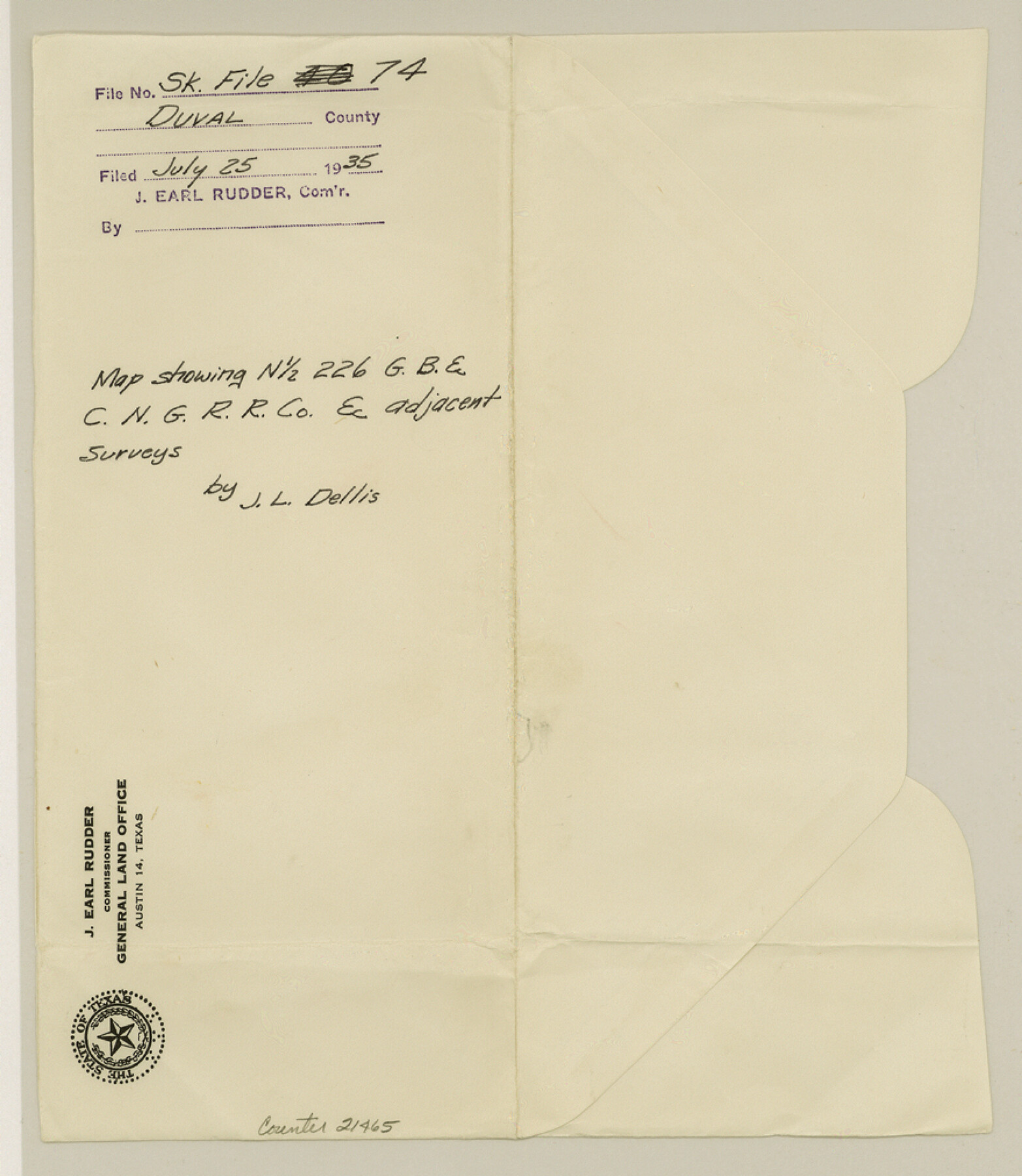
Duval County Sketch File 74
Map showing the N 1/2 of survey no. 226, G. B. & C. N. G. RR. Co. cert. No. 175 and adjacent surveys
-
Map/Doc
21465
-
Collection
General Map Collection
-
Object Dates
1935/7/25 (File Date)
1935/6/20 (Survey Date)
1935/7/12 (Survey Date)
-
People and Organizations
J.L. Dellis (Surveyor/Engineer)
-
Counties
Duval
-
Subjects
Surveying Sketch File
-
Height x Width
10.1 x 8.8 inches
25.7 x 22.4 cm
-
Medium
paper, manuscript
-
Scale
1:400
Part of: General Map Collection

Uvalde County Working Sketch 23

Print $20.00
- Digital $50.00
Uvalde County Working Sketch 23
1952
Size 32.0 x 26.6 inches
Map/Doc 72093

Flight Mission No. DQN-3K, Frame 72, Calhoun County

Print $20.00
- Digital $50.00
Flight Mission No. DQN-3K, Frame 72, Calhoun County
1953
Size 16.2 x 16.1 inches
Map/Doc 84363
Knox County Rolled Sketch 19

Print $20.00
- Digital $50.00
Knox County Rolled Sketch 19
1952
Size 27.3 x 24.9 inches
Map/Doc 6559
Cameron County Sketch File 5

Print $4.00
- Digital $50.00
Cameron County Sketch File 5
1978
Size 11.1 x 8.7 inches
Map/Doc 17030
Terrell County Working Sketch 8a

Print $20.00
- Digital $50.00
Terrell County Working Sketch 8a
1917
Size 14.5 x 19.4 inches
Map/Doc 62157
Terrell County Working Sketch 3a

Print $20.00
- Digital $50.00
Terrell County Working Sketch 3a
1912
Size 26.1 x 21.2 inches
Map/Doc 62152
Travis County State Real Property Sketch 8

Print $20.00
- Digital $50.00
Travis County State Real Property Sketch 8
1996
Size 30.5 x 42.6 inches
Map/Doc 77192
Flight Mission No. CRC-4R, Frame 63, Chambers County

Print $20.00
- Digital $50.00
Flight Mission No. CRC-4R, Frame 63, Chambers County
1956
Size 18.7 x 22.4 inches
Map/Doc 84867
Motley County Sketch File 32 (S)

Print $4.00
- Digital $50.00
Motley County Sketch File 32 (S)
Size 11.3 x 8.7 inches
Map/Doc 32215
Medina County

Print $40.00
- Digital $50.00
Medina County
1915
Size 50.0 x 42.0 inches
Map/Doc 66925
You may also like
Lampasas County Boundary File Index

Print $2.00
- Digital $50.00
Lampasas County Boundary File Index
Size 9.0 x 9.6 inches
Map/Doc 56092
Wharton County Sketch File 4a

Print $4.00
- Digital $50.00
Wharton County Sketch File 4a
1876
Size 12.7 x 8.1 inches
Map/Doc 39919
Lipscomb County Boundary File 11

Print $8.00
- Digital $50.00
Lipscomb County Boundary File 11
Size 11.1 x 8.7 inches
Map/Doc 56347
Railroad and County Map of Texas

Print $20.00
Railroad and County Map of Texas
1903
Size 33.5 x 37.4 inches
Map/Doc 76224
Mapa de los Estados Unidos Mejicanos

Print $20.00
Mapa de los Estados Unidos Mejicanos
1831
Size 24.7 x 29.7 inches
Map/Doc 79291
Motley County Sketch File E1 (S)

Print $8.00
- Digital $50.00
Motley County Sketch File E1 (S)
Size 14.3 x 8.7 inches
Map/Doc 32175
Flight Mission No. DQN-2K, Frame 117, Calhoun County

Print $20.00
- Digital $50.00
Flight Mission No. DQN-2K, Frame 117, Calhoun County
1953
Size 18.3 x 22.1 inches
Map/Doc 84293
General Range of Indigenous Tribes and Language Families in Texas

General Range of Indigenous Tribes and Language Families in Texas
2022
Size 8.5 x 11.0 inches
Map/Doc 97100

Travis County State Real Property Sketch 9

Print $20.00
- Digital $50.00
Travis County State Real Property Sketch 9
2002
Size 30.6 x 42.5 inches
Map/Doc 82560
Kleberg County Rolled Sketch 8

Print $20.00
- Digital $50.00
Kleberg County Rolled Sketch 8
1947
Size 33.0 x 42.0 inches
Map/Doc 9360
Bird's Eye View of La Grange, Fayette County, Texas

Print $20.00
Bird's Eye View of La Grange, Fayette County, Texas
1880
Size 24.1 x 31.2 inches
Map/Doc 89096