Crosby County Sketch File 34
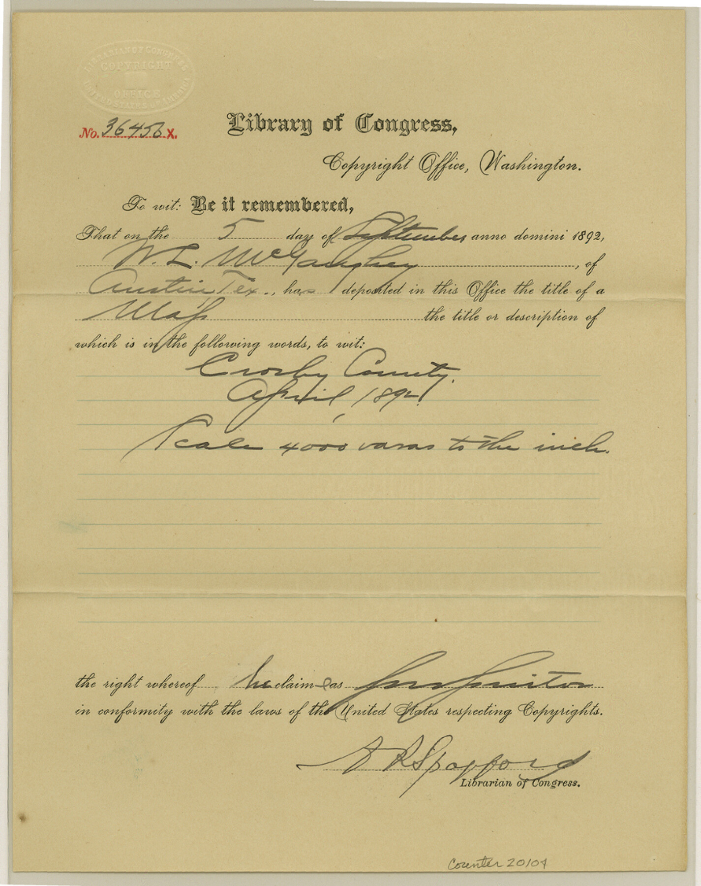
[Copyright certificate from the Library of Congress for Crosby County map]
-
Map/Doc
20104
-
Collection
General Map Collection
-
Object Dates
1892/9/5 (Creation Date)
1892/11/23 (File Date)
-
Counties
Crosby
-
Subjects
Surveying Sketch File
-
Height x Width
11.3 x 8.9 inches
28.7 x 22.6 cm
-
Medium
paper, print with manuscript additions
-
Scale
1:4000
Part of: General Map Collection
Liberty County Sketch File 5b

Print $6.00
- Digital $50.00
Liberty County Sketch File 5b
1857
Size 8.0 x 3.5 inches
Map/Doc 29890
San Patricio County Sketch File 42

Print $89.00
- Digital $50.00
San Patricio County Sketch File 42
1979
Size 11.3 x 8.8 inches
Map/Doc 36240
Duval County Sketch File 83

Print $20.00
- Digital $50.00
Duval County Sketch File 83
1933
Size 13.7 x 8.8 inches
Map/Doc 21521
Reeves County Working Sketch 60

Print $20.00
- Digital $50.00
Reeves County Working Sketch 60
1981
Size 24.7 x 36.3 inches
Map/Doc 63503
Duval County Rolled Sketch Pressly No. 1A

Print $20.00
- Digital $50.00
Duval County Rolled Sketch Pressly No. 1A
1935
Size 25.4 x 37.6 inches
Map/Doc 5769
No. 1. Outline Map of the Rio Grande from its mouth up to Ringold Barracks

Print $20.00
- Digital $50.00
No. 1. Outline Map of the Rio Grande from its mouth up to Ringold Barracks
Size 24.5 x 18.3 inches
Map/Doc 72858
Map of Oakhurst

Print $20.00
- Digital $50.00
Map of Oakhurst
1899
Size 23.0 x 32.9 inches
Map/Doc 7556
Garza County Sketch File 30

Print $8.00
- Digital $50.00
Garza County Sketch File 30
1959
Size 14.3 x 8.8 inches
Map/Doc 24100
Chambers County Working Sketch 15

Print $20.00
- Digital $50.00
Chambers County Working Sketch 15
1958
Size 32.9 x 27.4 inches
Map/Doc 67998
Map of the City of Austin

Print $20.00
- Digital $50.00
Map of the City of Austin
1876
Size 36.5 x 30.4 inches
Map/Doc 78477
Parker County Sketch File 13

Print $4.00
- Digital $50.00
Parker County Sketch File 13
1860
Size 12.1 x 8.0 inches
Map/Doc 33546
Live Oak County

Print $20.00
- Digital $50.00
Live Oak County
1879
Size 27.3 x 21.5 inches
Map/Doc 3821
You may also like
Atascosa County Sketch File 7

Print $4.00
- Digital $50.00
Atascosa County Sketch File 7
Size 8.2 x 6.5 inches
Map/Doc 13756
Newton County Rolled Sketch 12

Print $40.00
- Digital $50.00
Newton County Rolled Sketch 12
1952
Size 38.4 x 56.1 inches
Map/Doc 9577
Duval County Rolled Sketch 20A

Print $20.00
- Digital $50.00
Duval County Rolled Sketch 20A
Size 34.6 x 43.7 inches
Map/Doc 8816
Travis County

Print $40.00
- Digital $50.00
Travis County
1936
Size 43.2 x 54.6 inches
Map/Doc 63078
Sec. 22, Block 103

Print $2.00
- Digital $50.00
Sec. 22, Block 103
Size 8.4 x 9.5 inches
Map/Doc 90431
Glasscock County Sketch File 17

Print $44.00
- Digital $50.00
Glasscock County Sketch File 17
1936
Size 11.4 x 8.8 inches
Map/Doc 24188
Concho County Working Sketch 13

Print $20.00
- Digital $50.00
Concho County Working Sketch 13
1954
Size 26.3 x 14.1 inches
Map/Doc 68195
Rusk County Sketch File 36

Print $20.00
Rusk County Sketch File 36
1950
Size 23.8 x 18.0 inches
Map/Doc 12274
Concho County Working Sketch 2

Print $20.00
- Digital $50.00
Concho County Working Sketch 2
1915
Size 22.4 x 17.6 inches
Map/Doc 68184
Atascosa County Working Sketch 29

Print $20.00
- Digital $50.00
Atascosa County Working Sketch 29
1977
Size 16.8 x 15.1 inches
Map/Doc 67225
Tarrant County Working Sketch 5

Print $20.00
- Digital $50.00
Tarrant County Working Sketch 5
1980
Size 27.7 x 27.3 inches
Map/Doc 62422
Young County Rolled Sketch 15

Print $20.00
- Digital $50.00
Young County Rolled Sketch 15
Size 18.0 x 22.7 inches
Map/Doc 8303