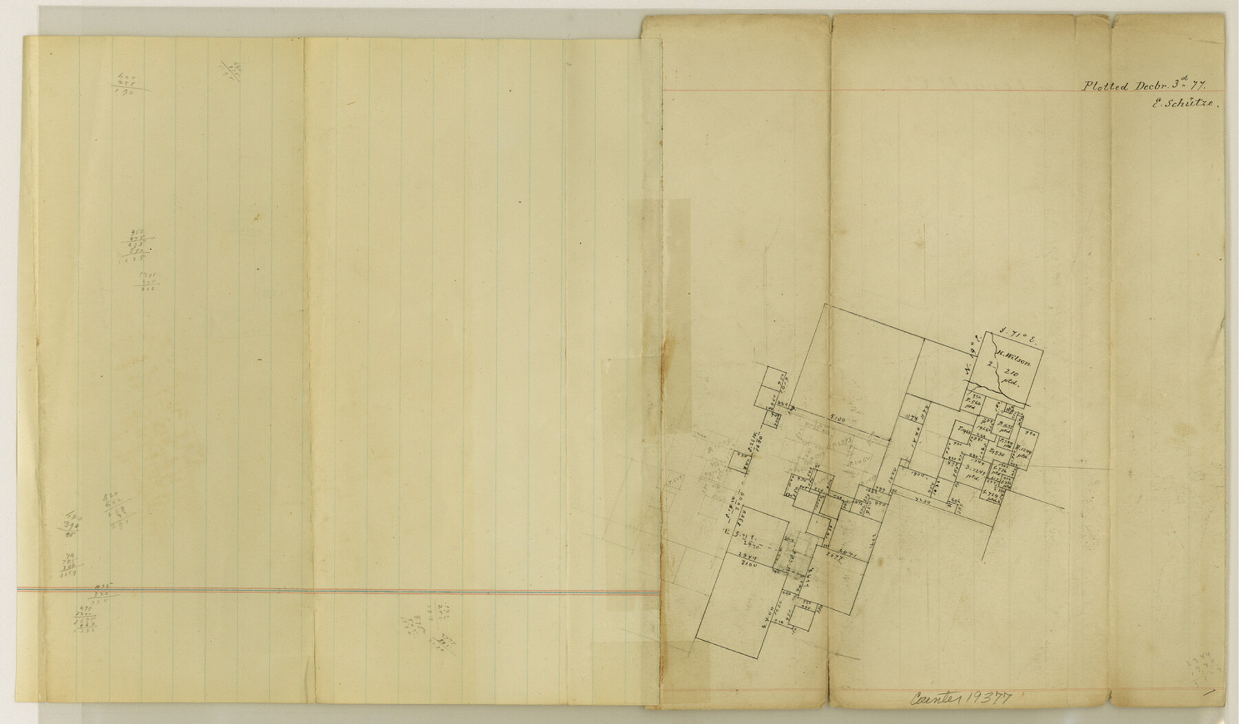
Coryell County Sketch File 17 1/4
[Office sketch]
-
Map/Doc
19377
-
Collection
General Map Collection
-
Object Dates
1877/12/3 (File Date)
-
People and Organizations
E. Schutze (Draftsman)
-
Counties
Coryell
-
Subjects
Surveying Sketch File
-
Height x Width
8.7 x 14.9 inches
22.1 x 37.8 cm
-
Medium
paper, manuscript
Part of: General Map Collection
Throckmorton County Working Sketch 12

Print $20.00
- Digital $50.00
Throckmorton County Working Sketch 12
2019
Size 24.7 x 36.7 inches
Map/Doc 95719
Jackson County Working Sketch 3

Print $20.00
- Digital $50.00
Jackson County Working Sketch 3
1941
Size 34.3 x 29.8 inches
Map/Doc 66451
Atascosa County Rolled Sketch 4

Print $20.00
- Digital $50.00
Atascosa County Rolled Sketch 4
Size 21.0 x 15.8 inches
Map/Doc 5087
Map of the River Sabine from its mouth on the Gulf of Mexico in the Sea to Logan's Ferry in Latitude 31°58'24" North

Print $20.00
- Digital $50.00
Map of the River Sabine from its mouth on the Gulf of Mexico in the Sea to Logan's Ferry in Latitude 31°58'24" North
1842
Size 47.9 x 30.6 inches
Map/Doc 87150
Pecos County Working Sketch 73

Print $40.00
- Digital $50.00
Pecos County Working Sketch 73
1957
Size 110.6 x 38.7 inches
Map/Doc 71545
Galveston County NRC Article 33.136 Location Key Sheet

Print $20.00
- Digital $50.00
Galveston County NRC Article 33.136 Location Key Sheet
1994
Size 27.0 x 22.0 inches
Map/Doc 77020
Galveston County Rolled Sketch 27A

Print $20.00
- Digital $50.00
Galveston County Rolled Sketch 27A
1978
Size 32.2 x 35.5 inches
Map/Doc 5962
Matagorda County Rolled Sketch 37C

Print $20.00
- Digital $50.00
Matagorda County Rolled Sketch 37C
Size 11.6 x 14.3 inches
Map/Doc 10197
Sketch F Showing the Progress of the Survey in Section VI With a General Reconnoissance of the Western Coast of Florida

Print $20.00
- Digital $50.00
Sketch F Showing the Progress of the Survey in Section VI With a General Reconnoissance of the Western Coast of Florida
1848
Size 25.5 x 19.2 inches
Map/Doc 97216
[Surveys possibly in Austin County]
![78356, [Surveys possibly in Austin County], General Map Collection](https://historictexasmaps.com/wmedia_w700/maps/78356.tif.jpg)
Print $3.00
- Digital $50.00
[Surveys possibly in Austin County]
Size 17.0 x 9.6 inches
Map/Doc 78356
Map of Nueces County

Print $20.00
- Digital $50.00
Map of Nueces County
1875
Size 24.6 x 37.4 inches
Map/Doc 3919
Galveston County NRC Article 33.136 Sketch 43

Print $59.00
- Digital $50.00
Galveston County NRC Article 33.136 Sketch 43
2002
Size 24.7 x 36.9 inches
Map/Doc 87156
You may also like
McMullen County Working Sketch 53

Print $20.00
- Digital $50.00
McMullen County Working Sketch 53
1983
Size 18.1 x 18.7 inches
Map/Doc 70754

Flight Mission No. CGI-4N, Frame 23, Cameron County

Print $20.00
- Digital $50.00
Flight Mission No. CGI-4N, Frame 23, Cameron County
1954
Size 18.6 x 22.4 inches
Map/Doc 84656
Atascosa County

Print $20.00
- Digital $50.00
Atascosa County
1873
Size 22.2 x 23.1 inches
Map/Doc 3249
El Paso County Rolled Sketch 60

Print $20.00
- Digital $50.00
El Paso County Rolled Sketch 60
1992
Size 29.0 x 36.5 inches
Map/Doc 5852
Plan of the City of Austin

Print $40.00
- Digital $50.00
Plan of the City of Austin
1840
Size 56.2 x 42.0 inches
Map/Doc 4837
Gaines County Working Sketch 37

Print $20.00
- Digital $50.00
Gaines County Working Sketch 37
Size 21.5 x 16.6 inches
Map/Doc 69337
Dickens County

Print $20.00
- Digital $50.00
Dickens County
1891
Size 24.5 x 20.2 inches
Map/Doc 4533
Hutchinson County Rolled Sketch 37

Print $20.00
- Digital $50.00
Hutchinson County Rolled Sketch 37
1950
Size 24.4 x 44.4 inches
Map/Doc 6296
United States and Additions, 1820

Print $20.00
- Digital $50.00
United States and Additions, 1820
1820
Size 21.8 x 27.0 inches
Map/Doc 93798
Terrell County Working Sketch 38

Print $40.00
- Digital $50.00
Terrell County Working Sketch 38
1950
Size 89.1 x 24.9 inches
Map/Doc 62131
Frio County Rolled Sketch 12A

Print $20.00
- Digital $50.00
Frio County Rolled Sketch 12A
1948
Size 40.0 x 45.2 inches
Map/Doc 8905