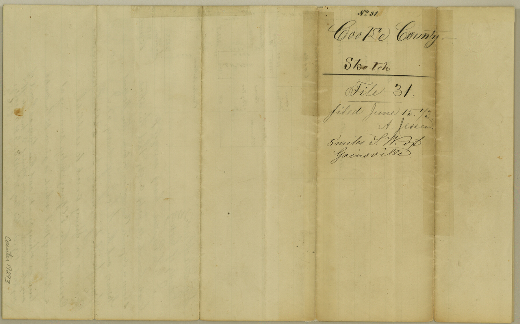
Cooke County Sketch File 31
[Sketch southwest of Gainesville]
-
Map/Doc
19293
-
Collection
General Map Collection
-
Object Dates
1873/5/31 (Creation Date)
1873/6/15 (File Date)
-
People and Organizations
G.H. Ragsdale (Surveyor/Engineer)
-
Counties
Cooke
-
Subjects
Surveying Sketch File
-
Height x Width
8.0 x 12.9 inches
20.3 x 32.8 cm
-
Medium
paper, manuscript
-
Scale
1:2000
Part of: General Map Collection
Flight Mission No. BRE-1P, Frame 140, Nueces County

Print $20.00
- Digital $50.00
Flight Mission No. BRE-1P, Frame 140, Nueces County
1956
Size 18.8 x 22.7 inches
Map/Doc 86700
Midland County Working Sketch 10

Print $20.00
- Digital $50.00
Midland County Working Sketch 10
1951
Size 30.2 x 21.2 inches
Map/Doc 70990
[Cotton Belt, St. Louis Southwestern Railway of Texas, Alignment through Smith County]
![64378, [Cotton Belt, St. Louis Southwestern Railway of Texas, Alignment through Smith County], General Map Collection](https://historictexasmaps.com/wmedia_w700/maps/64378.tif.jpg)
Print $20.00
- Digital $50.00
[Cotton Belt, St. Louis Southwestern Railway of Texas, Alignment through Smith County]
1903
Size 22.3 x 30.1 inches
Map/Doc 64378
Webb County Rolled Sketch 15

Print $20.00
- Digital $50.00
Webb County Rolled Sketch 15
Size 25.1 x 15.1 inches
Map/Doc 8179
Brazos County Working Sketch 5

Print $20.00
- Digital $50.00
Brazos County Working Sketch 5
1978
Size 23.9 x 18.4 inches
Map/Doc 67480
Marion County Sketch File 1b

Print $8.00
- Digital $50.00
Marion County Sketch File 1b
Size 12.4 x 7.7 inches
Map/Doc 30560
Cherokee County Working Sketch 28

Print $20.00
- Digital $50.00
Cherokee County Working Sketch 28
1991
Size 13.7 x 16.8 inches
Map/Doc 67983

Webb County Working Sketch 79

Print $20.00
- Digital $50.00
Webb County Working Sketch 79
Size 31.0 x 28.3 inches
Map/Doc 72446
San Patricio County Rolled Sketch 27A

Print $40.00
- Digital $50.00
San Patricio County Rolled Sketch 27A
Size 50.4 x 38.5 inches
Map/Doc 9891

Stephens County Sketch File 23

Print $12.00
- Digital $50.00
Stephens County Sketch File 23
1919
Size 11.1 x 8.8 inches
Map/Doc 37084
You may also like
Flight Mission No. DAG-21K, Frame 39, Matagorda County

Print $20.00
- Digital $50.00
Flight Mission No. DAG-21K, Frame 39, Matagorda County
1952
Size 18.6 x 22.3 inches
Map/Doc 86406
Nueces County Sketch File 26 1/2

Print $20.00
- Digital $50.00
Nueces County Sketch File 26 1/2
1902
Size 18.4 x 23.0 inches
Map/Doc 42186
Scurry County Rolled Sketch 12

Print $20.00
- Digital $50.00
Scurry County Rolled Sketch 12
1983
Size 27.7 x 27.0 inches
Map/Doc 7772
The Republic County of Bowie. December 29, 1845

Print $20.00
The Republic County of Bowie. December 29, 1845
2020
Size 19.5 x 21.7 inches
Map/Doc 96108
Guadalupe County Working Sketch 10

Print $20.00
- Digital $50.00
Guadalupe County Working Sketch 10
1966
Size 21.2 x 27.2 inches
Map/Doc 63319
Map of Unsurveyed Bed of Spring Creek

Print $40.00
- Digital $50.00
Map of Unsurveyed Bed of Spring Creek
1920
Size 78.7 x 27.1 inches
Map/Doc 65695
Cameron County Boundary File 4

Print $42.00
- Digital $50.00
Cameron County Boundary File 4
Size 10.4 x 8.2 inches
Map/Doc 51110
La Salle County Sketch File 8

Print $20.00
- Digital $50.00
La Salle County Sketch File 8
Size 27.2 x 19.3 inches
Map/Doc 11979
Wharton County Sketch File 13a

Print $20.00
- Digital $50.00
Wharton County Sketch File 13a
1894
Size 18.3 x 28.7 inches
Map/Doc 12663
Travis County

Print $40.00
- Digital $50.00
Travis County
1880
Size 59.0 x 70.2 inches
Map/Doc 16902
Flight Mission No. CUG-1P, Frame 81, Kleberg County

Print $20.00
- Digital $50.00
Flight Mission No. CUG-1P, Frame 81, Kleberg County
1956
Size 18.5 x 22.2 inches
Map/Doc 86146
Cameron County Rolled Sketch 25

Print $20.00
- Digital $50.00
Cameron County Rolled Sketch 25
1977
Size 24.8 x 36.6 inches
Map/Doc 5798