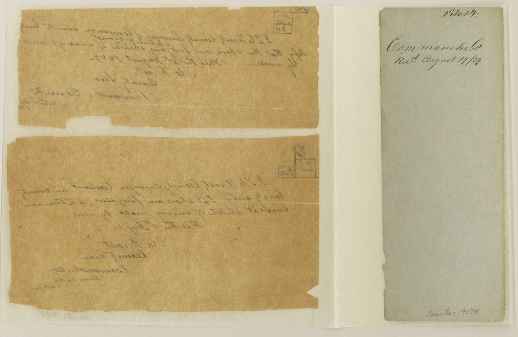
Comanche County Sketch File 14
[Sketch of surveys around N. Austin survey]
-
Map/Doc
19078
-
Collection
General Map Collection
-
Object Dates
1859/8/1 (Creation Date)
1859/8/19 (File Date)
-
People and Organizations
T.C. Frost (Surveyor/Engineer)
T.C. Frost (Draftsman)
-
Counties
Comanche
-
Subjects
Surveying Sketch File
-
Height x Width
8.4 x 12.9 inches
21.3 x 32.8 cm
-
Medium
paper, manuscript
Part of: General Map Collection
Reeves County Sketch File 2

Print $26.00
- Digital $50.00
Reeves County Sketch File 2
Size 31.2 x 19.6 inches
Map/Doc 12239
Chambers County Rolled Sketch 20

Print $1171.00
- Digital $50.00
Chambers County Rolled Sketch 20
Size 10.7 x 16.2 inches
Map/Doc 43987
[Scurry County]
![63030, [Scurry County], General Map Collection](https://historictexasmaps.com/wmedia_w700/maps/63030.tif.jpg)
Print $20.00
- Digital $50.00
[Scurry County]
1901
Size 34.3 x 42.5 inches
Map/Doc 63030
San Saba County Sketch File 14b

Print $8.00
- Digital $50.00
San Saba County Sketch File 14b
1899
Size 14.3 x 8.9 inches
Map/Doc 36448
Presidio County Sketch File 121

Print $57.00
- Digital $50.00
Presidio County Sketch File 121
1998
Size 11.0 x 8.5 inches
Map/Doc 82620
Harris County NRC Article 33.136 Sketch 1

Print $26.00
- Digital $50.00
Harris County NRC Article 33.136 Sketch 1
2000
Size 24.3 x 36.3 inches
Map/Doc 61595
Marion County Sketch File 16

Print $20.00
- Digital $50.00
Marion County Sketch File 16
1954
Size 22.9 x 23.2 inches
Map/Doc 12025
Childress County Rolled Sketch 11

Print $20.00
- Digital $50.00
Childress County Rolled Sketch 11
1940
Size 45.3 x 12.0 inches
Map/Doc 8602
Nautical Chart 152-SC - Galveston Bay, Texas

Print $20.00
- Digital $50.00
Nautical Chart 152-SC - Galveston Bay, Texas
1972
Size 14.9 x 32.8 inches
Map/Doc 69889
Brewster County Sketch File FN-30

Print $4.00
- Digital $50.00
Brewster County Sketch File FN-30
1975
Size 12.0 x 8.7 inches
Map/Doc 15850

Montague County

Print $20.00
- Digital $50.00
Montague County
1924
Size 46.4 x 33.7 inches
Map/Doc 77376
You may also like
Bell County Sketch File 28

Print $4.00
- Digital $50.00
Bell County Sketch File 28
1870
Size 7.8 x 6.5 inches
Map/Doc 14437
General Highway Map, Throckmorton County, Texas

Print $20.00
General Highway Map, Throckmorton County, Texas
1961
Size 18.2 x 24.8 inches
Map/Doc 79676
San Saba County Sketch File 1

Print $46.00
- Digital $50.00
San Saba County Sketch File 1
1854
Size 9.1 x 7.8 inches
Map/Doc 36400
Presidio County Rolled Sketch 96

Print $20.00
- Digital $50.00
Presidio County Rolled Sketch 96
Size 12.3 x 45.9 inches
Map/Doc 9782
Map of Galveston West Bay, Galveston Island & Chocolate Bay

Print $40.00
- Digital $50.00
Map of Galveston West Bay, Galveston Island & Chocolate Bay
1852
Size 50.5 x 29.9 inches
Map/Doc 69924
Eastland County Working Sketch 58

Print $20.00
- Digital $50.00
Eastland County Working Sketch 58
1985
Size 25.5 x 39.6 inches
Map/Doc 68839
Maverick County Sketch File 27

Print $6.00
- Digital $50.00
Maverick County Sketch File 27
1873
Size 9.9 x 8.0 inches
Map/Doc 31160
Gulf Intracoastal Waterway - Aransas Bay to Corpus Christi Bay - Modified Route Main Channel

Print $20.00
- Digital $50.00
Gulf Intracoastal Waterway - Aransas Bay to Corpus Christi Bay - Modified Route Main Channel
Size 30.9 x 41.9 inches
Map/Doc 61904
Flight Mission No. DAG-21K, Frame 33, Matagorda County

Print $20.00
- Digital $50.00
Flight Mission No. DAG-21K, Frame 33, Matagorda County
1952
Size 18.5 x 22.3 inches
Map/Doc 86400
Live Oak County Working Sketch 26

Print $20.00
- Digital $50.00
Live Oak County Working Sketch 26
1980
Size 13.9 x 16.9 inches
Map/Doc 70611
Dallas County Boundary File 4

Print $38.00
- Digital $50.00
Dallas County Boundary File 4
Size 8.9 x 3.9 inches
Map/Doc 52123
The Republic County of Harris. January 25, 1840

Print $20.00
The Republic County of Harris. January 25, 1840
2020
Size 17.7 x 21.7 inches
Map/Doc 96165