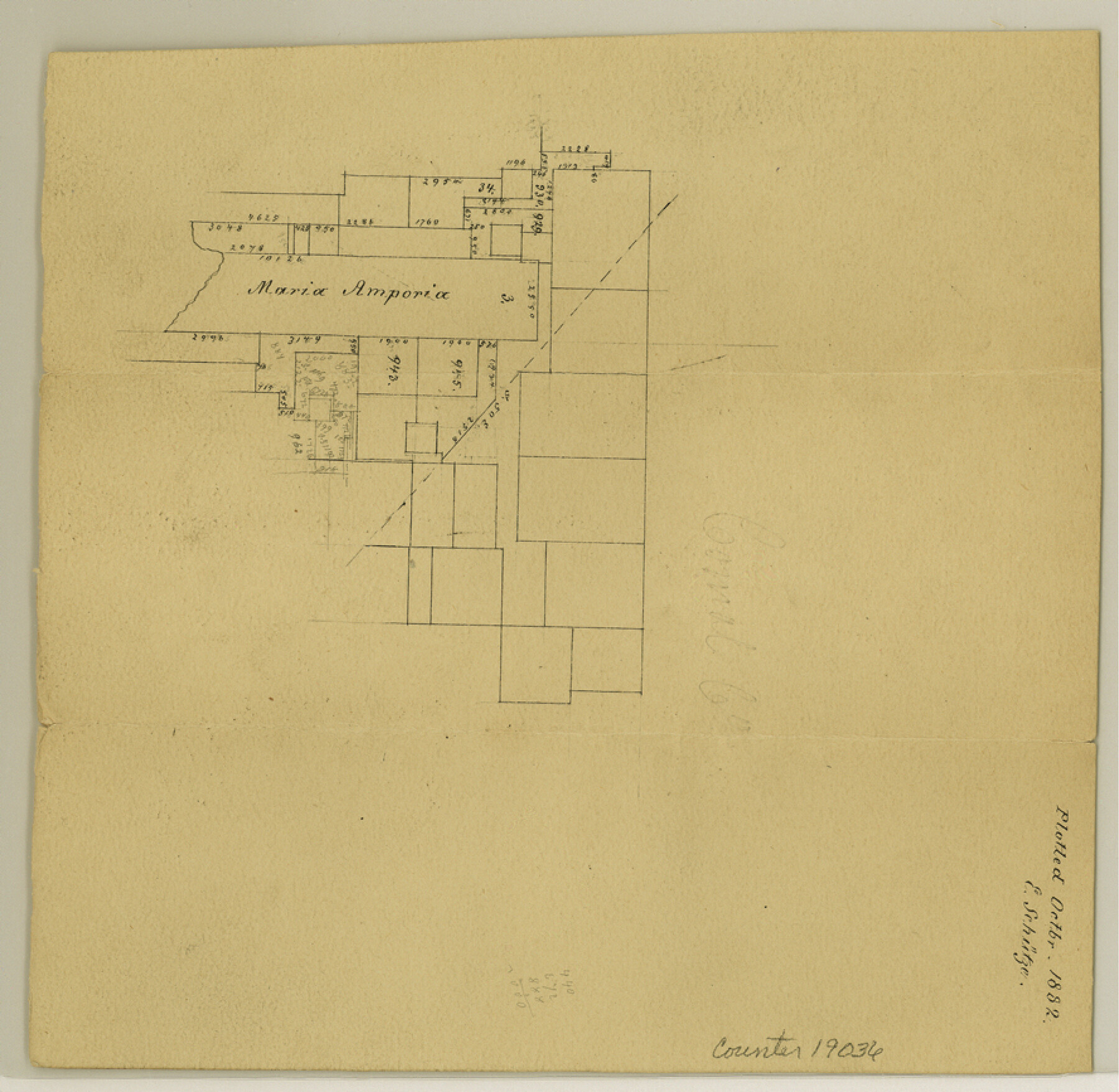
Comal County Sketch File 17
[Sketch of surveys around the Maria Amporia survey]
-
Map/Doc
19036
-
Collection
General Map Collection
-
Object Dates
1882
-
People and Organizations
Pressler (Surveyor/Engineer)
E. Schutze (Draftsman)
-
Counties
Comal
-
Subjects
Surveying Sketch File
-
Height x Width
8.7 x 8.9 inches
22.1 x 22.6 cm
-
Medium
paper, manuscript
Part of: General Map Collection
Crockett County Sketch File 75

Print $20.00
- Digital $50.00
Crockett County Sketch File 75
Size 26.3 x 28.8 inches
Map/Doc 11234
El Paso County Sketch File 1a

Print $4.00
- Digital $50.00
El Paso County Sketch File 1a
Size 12.1 x 8.2 inches
Map/Doc 21907
Menard County Working Sketch 5

Print $20.00
- Digital $50.00
Menard County Working Sketch 5
1921
Size 17.2 x 22.3 inches
Map/Doc 70952
Flight Mission No. CRC-5R, Frame 31, Chambers County

Print $20.00
- Digital $50.00
Flight Mission No. CRC-5R, Frame 31, Chambers County
1956
Size 18.5 x 22.4 inches
Map/Doc 84950
[Surveys in Austin's Colony along New Year's Creek]
![204, [Surveys in Austin's Colony along New Year's Creek], General Map Collection](https://historictexasmaps.com/wmedia_w700/maps/204.tif.jpg)
Print $20.00
- Digital $50.00
[Surveys in Austin's Colony along New Year's Creek]
1828
Size 12.9 x 15.5 inches
Map/Doc 204
Kerr County Working Sketch 6

Print $20.00
- Digital $50.00
Kerr County Working Sketch 6
1947
Size 32.8 x 26.3 inches
Map/Doc 70037
[Bastrop County line]
![65, [Bastrop County line], General Map Collection](https://historictexasmaps.com/wmedia_w700/maps/65.tif.jpg)
Print $2.00
- Digital $50.00
[Bastrop County line]
1841
Size 7.8 x 6.3 inches
Map/Doc 65
Nueces County Rolled Sketch 52

Print $20.00
- Digital $50.00
Nueces County Rolled Sketch 52
1938
Size 31.3 x 31.7 inches
Map/Doc 9606
Jefferson County Working Sketch 3

Print $20.00
- Digital $50.00
Jefferson County Working Sketch 3
1904
Size 25.1 x 21.2 inches
Map/Doc 66546
Galveston County Rolled Sketch 44

Print $20.00
- Digital $50.00
Galveston County Rolled Sketch 44
1991
Size 25.1 x 36.8 inches
Map/Doc 5974
Fayette County Boundary File 6

Print $20.00
- Digital $50.00
Fayette County Boundary File 6
Size 14.4 x 9.0 inches
Map/Doc 53391
Concho County Sketch File 6

Print $8.00
- Digital $50.00
Concho County Sketch File 6
1858
Size 13.3 x 8.3 inches
Map/Doc 19127
You may also like
Pecos County Rolled Sketch 121

Print $20.00
- Digital $50.00
Pecos County Rolled Sketch 121
Size 21.8 x 23.4 inches
Map/Doc 7262
Lamar County Working Sketch 8

Print $20.00
- Digital $50.00
Lamar County Working Sketch 8
1969
Size 39.3 x 31.6 inches
Map/Doc 70269
Sterling County Rolled Sketch 14

Print $20.00
- Digital $50.00
Sterling County Rolled Sketch 14
Size 22.3 x 26.6 inches
Map/Doc 7848
Marion County Sketch File 9

Print $4.00
- Digital $50.00
Marion County Sketch File 9
Size 9.4 x 7.8 inches
Map/Doc 30577

Hemphill County Rolled Sketch MJ

Print $20.00
- Digital $50.00
Hemphill County Rolled Sketch MJ
Size 21.3 x 41.4 inches
Map/Doc 6201
New Map of Texas with the Contiguous American and Mexican States

Print $20.00
- Digital $50.00
New Map of Texas with the Contiguous American and Mexican States
1836
Size 13.7 x 19.7 inches
Map/Doc 76795
Flight Mission No. DQN-3K, Frame 6, Calhoun County

Print $20.00
- Digital $50.00
Flight Mission No. DQN-3K, Frame 6, Calhoun County
1953
Size 18.4 x 22.2 inches
Map/Doc 84338
[B. S. & F. Block 9]
![91814, [B. S. & F. Block 9], Twichell Survey Records](https://historictexasmaps.com/wmedia_w700/maps/91814-1.tif.jpg)
Print $20.00
- Digital $50.00
[B. S. & F. Block 9]
Size 25.1 x 35.7 inches
Map/Doc 91814
Polk County Working Sketch 4

Print $20.00
- Digital $50.00
Polk County Working Sketch 4
1925
Size 46.3 x 42.6 inches
Map/Doc 71619
Navarro County Sketch File 9

Print $2.00
- Digital $50.00
Navarro County Sketch File 9
Size 8.3 x 9.1 inches
Map/Doc 32317
Louisiana and Texas Intracoastal Waterway - Matagorda-Espiritu Santo and San Antonio Bays, Section 8-9, Survey of 1927-8 - Index Sheet 3

Print $20.00
- Digital $50.00
Louisiana and Texas Intracoastal Waterway - Matagorda-Espiritu Santo and San Antonio Bays, Section 8-9, Survey of 1927-8 - Index Sheet 3
1929
Size 31.0 x 42.8 inches
Map/Doc 61837