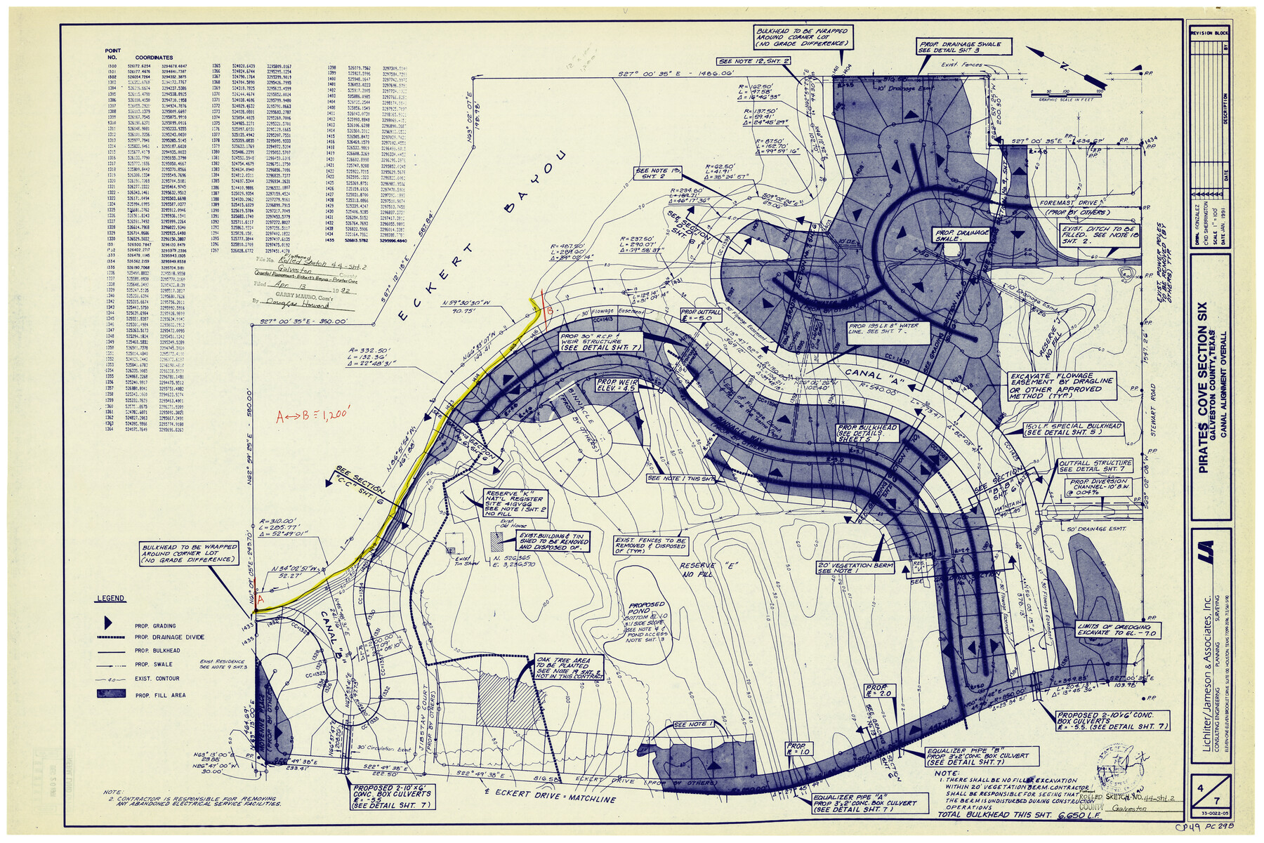
Galveston County Rolled Sketch 44
[Coastal Easement - Eckert's Bayou - Pirates Cove]
-
Map/Doc
5974
-
Collection
General Map Collection
-
Object Dates
1/1991 (Creation Date)
4/13/1992 (File Date)
-
Counties
Galveston
-
Subjects
Surveying Rolled Sketch
-
Height x Width
25.1 x 36.8 inches
63.8 x 93.5 cm
-
Medium
blueprint/diazo
-
Scale
1" = 100 feet
Part of: General Map Collection
Reeves County Working Sketch 58

Print $20.00
- Digital $50.00
Reeves County Working Sketch 58
1980
Size 32.3 x 25.3 inches
Map/Doc 63501
Bandera County Working Sketch 41

Print $20.00
- Digital $50.00
Bandera County Working Sketch 41
1977
Size 31.3 x 37.7 inches
Map/Doc 67637
San Saba County Sketch File 6

Print $6.00
- Digital $50.00
San Saba County Sketch File 6
1881
Size 10.9 x 8.4 inches
Map/Doc 36414
Bailey County Sketch File 6

Print $40.00
- Digital $50.00
Bailey County Sketch File 6
Size 26.5 x 31.9 inches
Map/Doc 10884
Anderson County Working Sketch 40

Print $20.00
- Digital $50.00
Anderson County Working Sketch 40
1986
Size 17.0 x 20.3 inches
Map/Doc 67040
Armstrong County

Print $20.00
- Digital $50.00
Armstrong County
1879
Size 21.6 x 19.2 inches
Map/Doc 3242
Tom Green County Sketch File 2

Print $4.00
- Digital $50.00
Tom Green County Sketch File 2
Size 9.6 x 7.6 inches
Map/Doc 38161
Map of Castro's Colony - Bexar District

Print $20.00
- Digital $50.00
Map of Castro's Colony - Bexar District
1851
Size 36.4 x 33.1 inches
Map/Doc 1962
Upton County Rolled Sketch 42

Print $40.00
- Digital $50.00
Upton County Rolled Sketch 42
Size 26.5 x 55.9 inches
Map/Doc 10056
Montgomery County Sketch File 12

Print $2.00
- Digital $50.00
Montgomery County Sketch File 12
Size 8.1 x 3.8 inches
Map/Doc 31802
Nueces County

Print $20.00
- Digital $50.00
Nueces County
1913
Size 26.9 x 35.9 inches
Map/Doc 95602
Motley County Sketch File 2D (N)

Print $20.00
- Digital $50.00
Motley County Sketch File 2D (N)
Size 14.3 x 9.0 inches
Map/Doc 31984
You may also like
Texas - Official Highway Travel Map

Texas - Official Highway Travel Map
Size 27.4 x 36.4 inches
Map/Doc 94299
Val Verde Co.

Print $20.00
- Digital $50.00
Val Verde Co.
1908
Size 39.8 x 38.7 inches
Map/Doc 63100
Cass County Sketch File 17

Print $4.00
- Digital $50.00
Cass County Sketch File 17
Size 8.2 x 10.2 inches
Map/Doc 17418
Cass County Working Sketch 32

Print $20.00
- Digital $50.00
Cass County Working Sketch 32
1982
Size 24.0 x 22.6 inches
Map/Doc 67935
Flight Mission No. CUG-1P, Frame 47, Kleberg County

Print $20.00
- Digital $50.00
Flight Mission No. CUG-1P, Frame 47, Kleberg County
1956
Size 18.7 x 22.4 inches
Map/Doc 86125
Hudspeth County Rolled Sketch 69

Print $20.00
- Digital $50.00
Hudspeth County Rolled Sketch 69
1973
Size 12.2 x 20.8 inches
Map/Doc 7717
Atascosa County Boundary File 2

Print $52.00
- Digital $50.00
Atascosa County Boundary File 2
Size 8.9 x 36.2 inches
Map/Doc 50160

Yoakum County Working Sketch Graphic Index

Print $20.00
- Digital $50.00
Yoakum County Working Sketch Graphic Index
1932
Size 44.7 x 33.1 inches
Map/Doc 76747
Childress County Sketch File 7a

Print $20.00
- Digital $50.00
Childress County Sketch File 7a
Size 14.9 x 17.7 inches
Map/Doc 11080
Lubbock County

Print $20.00
- Digital $50.00
Lubbock County
1892
Size 20.1 x 19.3 inches
Map/Doc 3828
Flight Mission No. CLL-4N, Frame 38, Willacy County

Print $20.00
- Digital $50.00
Flight Mission No. CLL-4N, Frame 38, Willacy County
1954
Size 18.4 x 22.1 inches
Map/Doc 87111