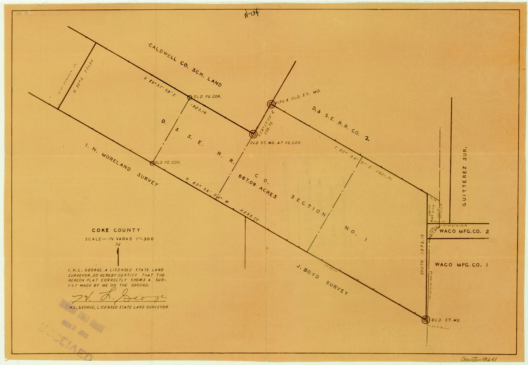
Coke County Sketch File 30
[Sketch of D. & S. E. R.R. Co. section no. 1]
-
Map/Doc
18641
-
Collection
General Map Collection
-
Object Dates
1948/11/9 (File Date)
-
People and Organizations
H.L. George (Surveyor/Engineer)
-
Counties
Coke
-
Subjects
Surveying Sketch File
-
Height x Width
12.2 x 17.6 inches
31.0 x 44.7 cm
-
Medium
van dyke/brownline/sepia
-
Scale
1" = 300 varas
Part of: General Map Collection
Hutchinson County

Print $20.00
- Digital $50.00
Hutchinson County
1922
Size 40.7 x 34.8 inches
Map/Doc 77321
Flight Mission No. CGI-3N, Frame 184, Cameron County

Print $20.00
- Digital $50.00
Flight Mission No. CGI-3N, Frame 184, Cameron County
1954
Size 18.5 x 22.3 inches
Map/Doc 84648
Brooks County Working Sketch 10

Print $20.00
- Digital $50.00
Brooks County Working Sketch 10
1939
Size 32.1 x 32.8 inches
Map/Doc 67794
Flight Mission No. DIX-5P, Frame 104, Aransas County

Print $20.00
- Digital $50.00
Flight Mission No. DIX-5P, Frame 104, Aransas County
1956
Size 17.8 x 18.5 inches
Map/Doc 83782
Liberty County Sketch File 58

Print $2.00
- Digital $50.00
Liberty County Sketch File 58
Size 8.9 x 7.7 inches
Map/Doc 30060
Brewster County Rolled Sketch 114

Print $20.00
- Digital $50.00
Brewster County Rolled Sketch 114
1964
Size 11.4 x 18.4 inches
Map/Doc 5277
Matagorda County Rolled Sketch 15

Print $20.00
- Digital $50.00
Matagorda County Rolled Sketch 15
Size 24.5 x 14.9 inches
Map/Doc 6682
The United States of North America with the British Territories and Those of Spain, according to the Treaty of 1784

Print $20.00
- Digital $50.00
The United States of North America with the British Territories and Those of Spain, according to the Treaty of 1784
1796
Size 23.6 x 30.8 inches
Map/Doc 95738
Live Oak County Working Sketch 6

Print $20.00
- Digital $50.00
Live Oak County Working Sketch 6
1930
Size 17.6 x 21.6 inches
Map/Doc 70591
Henderson County Working Sketch 23

Print $20.00
- Digital $50.00
Henderson County Working Sketch 23
1951
Size 28.2 x 24.2 inches
Map/Doc 66156
Flight Mission No. BRE-1P, Frame 128, Nueces County

Print $20.00
- Digital $50.00
Flight Mission No. BRE-1P, Frame 128, Nueces County
1956
Size 18.3 x 22.1 inches
Map/Doc 86694
Map of Southeastern Part of Young Territory

Print $40.00
- Digital $50.00
Map of Southeastern Part of Young Territory
1874
Size 54.7 x 30.1 inches
Map/Doc 1989
You may also like
Spade Ranch Hockley County, Texas

Print $3.00
- Digital $50.00
Spade Ranch Hockley County, Texas
1948
Size 17.6 x 7.7 inches
Map/Doc 92226
El Paso County Sketch File 35 (5)

Print $6.00
- Digital $50.00
El Paso County Sketch File 35 (5)
1886
Size 14.6 x 8.9 inches
Map/Doc 22218
[Blocks D, Q, and Z]
![92522, [Blocks D, Q, and Z], Twichell Survey Records](https://historictexasmaps.com/wmedia_w700/maps/92522-1.tif.jpg)
Print $20.00
- Digital $50.00
[Blocks D, Q, and Z]
Size 17.9 x 22.6 inches
Map/Doc 92522
El Paso County Sketch File 22a

Print $52.00
- Digital $50.00
El Paso County Sketch File 22a
1888
Size 14.2 x 8.7 inches
Map/Doc 22042
Hemphill County Working Sketch 28

Print $40.00
- Digital $50.00
Hemphill County Working Sketch 28
1974
Size 61.8 x 43.5 inches
Map/Doc 66123
Reagan County Rolled Sketch 39

Print $20.00
- Digital $50.00
Reagan County Rolled Sketch 39
1966
Size 25.7 x 25.1 inches
Map/Doc 7450
Rio Grande, Willamar Sheet

Print $20.00
- Digital $50.00
Rio Grande, Willamar Sheet
1937
Size 36.9 x 37.2 inches
Map/Doc 65111
[Drawings of individual counties for Pressler and Langermann's 1879 Map of Texas]
![[Drawings of individual counties for Pressler and Langermann's 1879 Map of Texas]](https://historictexasmaps.com/wmedia_w700/maps/4865.tif.jpg)
Print $20.00
- Digital $50.00
[Drawings of individual counties for Pressler and Langermann's 1879 Map of Texas]
1878
Size 27.3 x 38.1 inches
Map/Doc 4865
Sketch of part of the NW part, Hutchinson County

Print $20.00
- Digital $50.00
Sketch of part of the NW part, Hutchinson County
1909
Size 20.9 x 31.2 inches
Map/Doc 75816
Kerr County Working Sketch 9

Print $20.00
- Digital $50.00
Kerr County Working Sketch 9
1949
Size 31.6 x 33.0 inches
Map/Doc 70040
Survey in South Austin for Mr. R.N. Graham

Print $20.00
- Digital $50.00
Survey in South Austin for Mr. R.N. Graham
Map/Doc 93795
Brewster County Working Sketch 113

Print $20.00
- Digital $50.00
Brewster County Working Sketch 113
1982
Size 29.4 x 38.2 inches
Map/Doc 67713