Coke County Sketch File 2
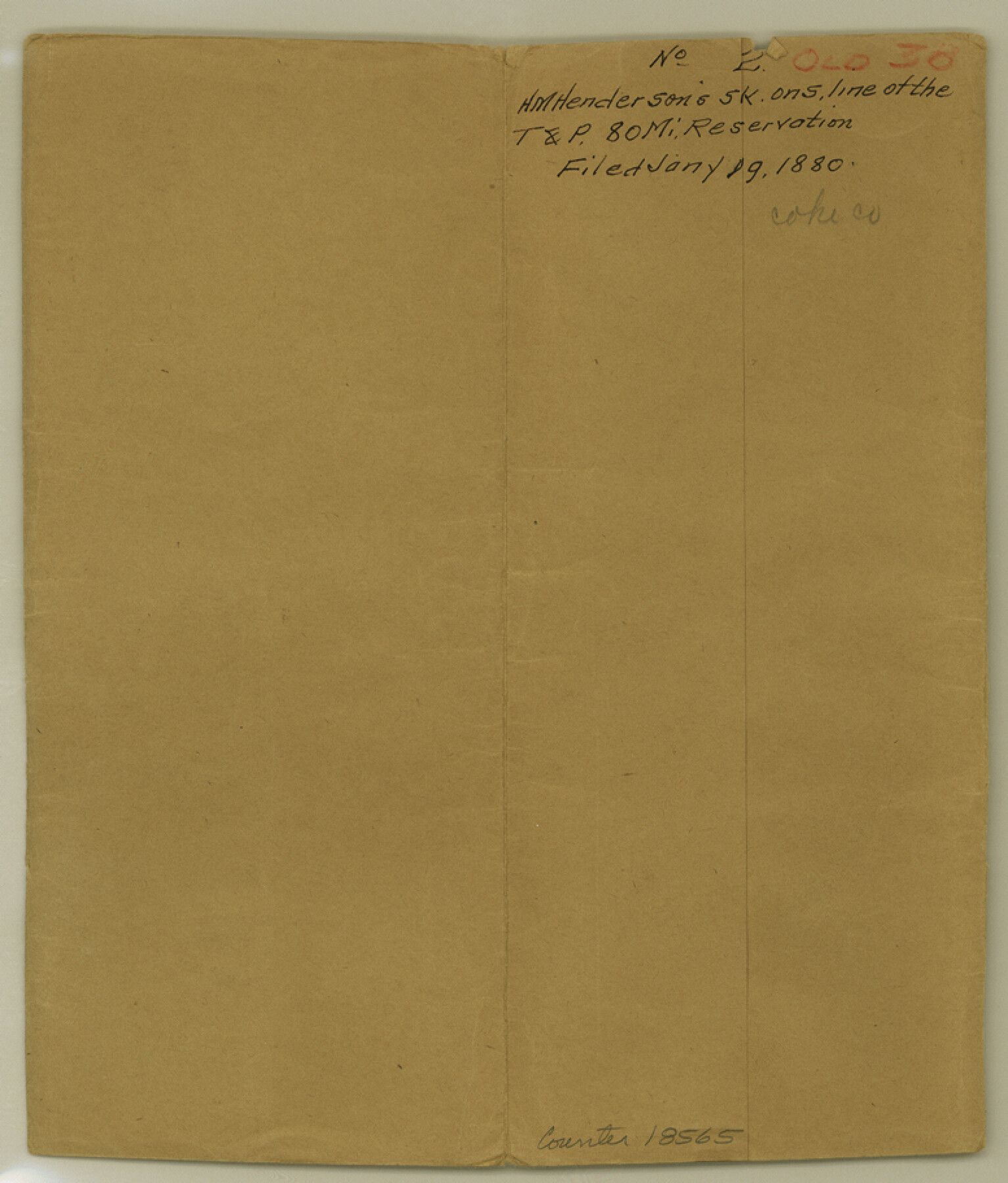
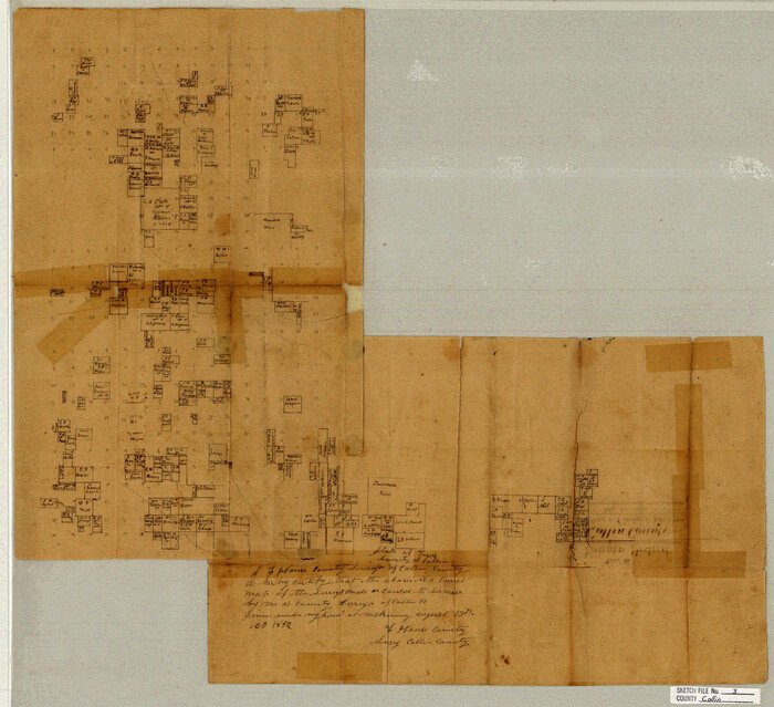
[Sketch of large area south of the south line of the 80-mile T. & P. Reservation in southwest part of Coke County and north part of Tom Green County]
-
Map/Doc
18565
-
Collection
General Map Collection
-
Object Dates
1880/1/19 (File Date)
-
People and Organizations
H.M. Henderson (Surveyor/Engineer)
-
Counties
Coke Tom Green
-
Subjects
Surveying Sketch File
-
Height x Width
9.1 x 7.8 inches
23.1 x 19.8 cm
-
Medium
paper, manuscript
-
Features
80 Mile Reserve
Part of: General Map Collection
Collin County Sketch File 3
Print $20.00
- Digital $50.00
Collin County Sketch File 3
1852
Size 19.5 x 21.4 inches
Map/Doc 11126
Houston County Rolled Sketch 7

Print $40.00
- Digital $50.00
Houston County Rolled Sketch 7
Size 43.2 x 50.1 inches
Map/Doc 9183
Houston County Sketch File 23

Print $6.00
- Digital $50.00
Houston County Sketch File 23
1852
Size 6.5 x 5.2 inches
Map/Doc 26793
Brazoria County Rolled Sketch 49

Print $20.00
- Digital $50.00
Brazoria County Rolled Sketch 49
1948
Size 23.7 x 36.3 inches
Map/Doc 5183
Terrell County Working Sketch 70

Print $20.00
- Digital $50.00
Terrell County Working Sketch 70
1979
Size 39.0 x 36.5 inches
Map/Doc 69591
Map Showing Resurvey of Capitol Leagues, Bailey, Lamb & Castro Co's.

Print $20.00
- Digital $50.00
Map Showing Resurvey of Capitol Leagues, Bailey, Lamb & Castro Co's.
1918
Size 17.3 x 42.5 inches
Map/Doc 1758
Hays County State Real Property Sketch 1

Print $20.00
- Digital $50.00
Hays County State Real Property Sketch 1
2005
Size 31.1 x 42.2 inches
Map/Doc 83423
Fort Bend County Working Sketch 3

Print $20.00
- Digital $50.00
Fort Bend County Working Sketch 3
1897
Size 26.8 x 24.6 inches
Map/Doc 69209
Map of the International and Great Northern Railroad between Austin and San Antonio, Texas

Print $40.00
- Digital $50.00
Map of the International and Great Northern Railroad between Austin and San Antonio, Texas
1881
Size 42.5 x 121.5 inches
Map/Doc 64776
Roberts County Working Sketch 3

Print $20.00
- Digital $50.00
Roberts County Working Sketch 3
1949
Size 18.0 x 14.3 inches
Map/Doc 63529
Brewster County Rolled Sketch 151

Print $20.00
- Digital $50.00
Brewster County Rolled Sketch 151
1996
Size 36.3 x 28.0 inches
Map/Doc 5318
Upton County Working Sketch 60

Print $20.00
- Digital $50.00
Upton County Working Sketch 60
2012
Size 34.2 x 32.1 inches
Map/Doc 93387
You may also like
Cass County Working Sketch 44

Print $20.00
- Digital $50.00
Cass County Working Sketch 44
1989
Size 21.3 x 30.3 inches
Map/Doc 67947
Burleson County Working Sketch 44

Print $20.00
- Digital $50.00
Burleson County Working Sketch 44
1991
Size 22.4 x 25.0 inches
Map/Doc 67763
Hemphill County Working Sketch 14

Print $20.00
- Digital $50.00
Hemphill County Working Sketch 14
1969
Size 34.0 x 44.8 inches
Map/Doc 66109
Aransas County Working Sketch 8

Print $20.00
- Digital $50.00
Aransas County Working Sketch 8
1947
Size 24.7 x 24.2 inches
Map/Doc 67175
The Republic County of Jasper. January 29, 1842

Print $20.00
The Republic County of Jasper. January 29, 1842
2020
Size 19.5 x 21.7 inches
Map/Doc 96194
Flight Mission No. DAG-23K, Frame 187, Matagorda County

Print $20.00
- Digital $50.00
Flight Mission No. DAG-23K, Frame 187, Matagorda County
1953
Size 17.5 x 22.4 inches
Map/Doc 86522
Howard County Working Sketch 13

Print $20.00
- Digital $50.00
Howard County Working Sketch 13
1983
Size 33.3 x 37.3 inches
Map/Doc 66281
Coke County Sketch File 22

Print $20.00
- Digital $50.00
Coke County Sketch File 22
1923
Size 22.1 x 27.8 inches
Map/Doc 11111
Coast Chart No. 210 Aransas Pass and Corpus Christi Bay with the coast to latitude 27° 12' Texas

Print $20.00
- Digital $50.00
Coast Chart No. 210 Aransas Pass and Corpus Christi Bay with the coast to latitude 27° 12' Texas
1913
Size 27.7 x 18.3 inches
Map/Doc 72798
Medina County Working Sketch 6

Print $20.00
- Digital $50.00
Medina County Working Sketch 6
1950
Size 20.7 x 21.3 inches
Map/Doc 70921
Cochran County Sketch File 6

Print $10.00
- Digital $50.00
Cochran County Sketch File 6
1938
Size 11.2 x 8.6 inches
Map/Doc 18545
[San Augustine County School Land]
![91331, [San Augustine County School Land], Twichell Survey Records](https://historictexasmaps.com/wmedia_w700/maps/91331-1.tif.jpg)
Print $3.00
- Digital $50.00
[San Augustine County School Land]
Size 9.3 x 11.6 inches
Map/Doc 91331