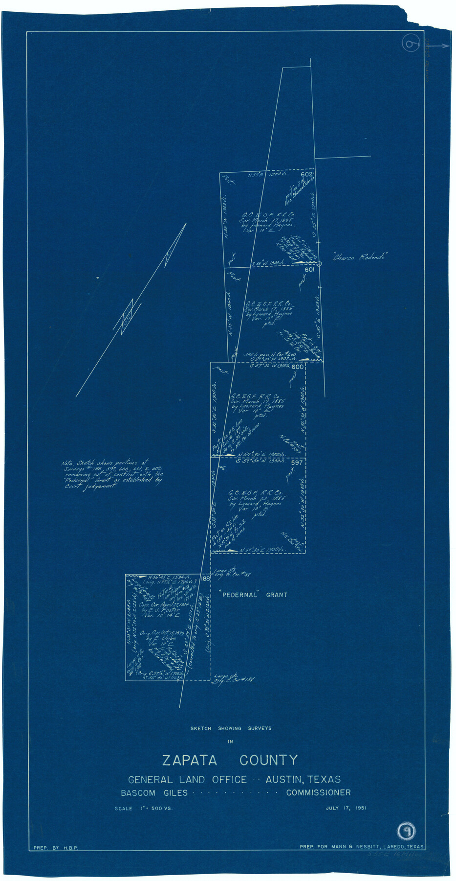
Zapata County Working Sketch 9
-
Map/Doc
62060
-
Collection
General Map Collection
-
Object Dates
7/17/1951 (Creation Date)
-
Counties
Zapata
-
Subjects
Surveying Working Sketch
-
Height x Width
34.9 x 18.1 inches
88.7 x 46.0 cm
-
Scale
1" = 500 varas
Part of: General Map Collection
Anderson County Working Sketch 15

Print $20.00
- Digital $50.00
Anderson County Working Sketch 15
1937
Size 19.7 x 22.7 inches
Map/Doc 67015
Jeff Davis County Rolled Sketch 31

Print $20.00
- Digital $50.00
Jeff Davis County Rolled Sketch 31
1983
Size 40.6 x 44.1 inches
Map/Doc 9268
Sketch of State University Lands and Connections in El Paso Co.

Print $20.00
- Digital $50.00
Sketch of State University Lands and Connections in El Paso Co.
1900
Size 33.1 x 32.4 inches
Map/Doc 2427
Walker County Rolled Sketch 1

Print $20.00
- Digital $50.00
Walker County Rolled Sketch 1
1982
Size 36.3 x 23.6 inches
Map/Doc 8154
Flight Mission No. CGI-3N, Frame 132, Cameron County

Print $20.00
- Digital $50.00
Flight Mission No. CGI-3N, Frame 132, Cameron County
1954
Size 18.4 x 22.2 inches
Map/Doc 84605
Flight Mission No. DAG-18K, Frame 185, Matagorda County

Print $20.00
- Digital $50.00
Flight Mission No. DAG-18K, Frame 185, Matagorda County
1952
Size 16.2 x 15.9 inches
Map/Doc 86377
San Jacinto River and Tributaries, Texas - Survey of 1939

Print $20.00
- Digital $50.00
San Jacinto River and Tributaries, Texas - Survey of 1939
1939
Size 28.1 x 40.5 inches
Map/Doc 3153
Cochran County

Print $20.00
- Digital $50.00
Cochran County
1946
Size 33.0 x 25.3 inches
Map/Doc 73107
Kerr County Working Sketch 10

Print $20.00
- Digital $50.00
Kerr County Working Sketch 10
1951
Size 22.3 x 16.0 inches
Map/Doc 70041
Brewster County Rolled Sketch 110

Print $20.00
- Digital $50.00
Brewster County Rolled Sketch 110
1961
Size 19.7 x 37.7 inches
Map/Doc 5262
Chambers County Working Sketch 21

Print $20.00
- Digital $50.00
Chambers County Working Sketch 21
1974
Size 44.1 x 34.8 inches
Map/Doc 68004
Morris County Rolled Sketch 2A

Print $20.00
- Digital $50.00
Morris County Rolled Sketch 2A
Size 24.0 x 18.8 inches
Map/Doc 10273
You may also like
General Highway Map. Detail of Cities and Towns in Jefferson County, Texas. City Map of Port Arthur and vicinity, Jefferson County, Texas

Print $20.00
General Highway Map. Detail of Cities and Towns in Jefferson County, Texas. City Map of Port Arthur and vicinity, Jefferson County, Texas
1961
Size 18.0 x 24.7 inches
Map/Doc 79540
Ward County Boundary File 2

Print $4.00
- Digital $50.00
Ward County Boundary File 2
Size 11.1 x 8.9 inches
Map/Doc 59673
Map of Fort Worth & Denver City Railway

Print $40.00
- Digital $50.00
Map of Fort Worth & Denver City Railway
1880
Size 25.3 x 50.3 inches
Map/Doc 64416
Runnels County Sketch File 2

Print $6.00
Runnels County Sketch File 2
1854
Size 8.2 x 7.8 inches
Map/Doc 35431
Hudspeth County Rolled Sketch 36

Print $20.00
- Digital $50.00
Hudspeth County Rolled Sketch 36
1952
Size 30.8 x 19.9 inches
Map/Doc 6249
Preliminary Re-Plat of Lots 13-20, 45-52, 77-84, and 97-104 James Subdivision

Print $2.00
- Digital $50.00
Preliminary Re-Plat of Lots 13-20, 45-52, 77-84, and 97-104 James Subdivision
1953
Size 8.7 x 11.3 inches
Map/Doc 93221
Intracoastal Waterway in Texas - Corpus Christi to Point Isabel including Arroyo Colorado to Mo. Pac. R.R. Bridge Near Harlingen

Print $20.00
- Digital $50.00
Intracoastal Waterway in Texas - Corpus Christi to Point Isabel including Arroyo Colorado to Mo. Pac. R.R. Bridge Near Harlingen
1933
Size 28.1 x 40.8 inches
Map/Doc 61847
Hardin County Working Sketch 25

Print $20.00
- Digital $50.00
Hardin County Working Sketch 25
1950
Size 10.8 x 20.1 inches
Map/Doc 63423
McLennan County Sketch File 42

Print $24.00
- Digital $50.00
McLennan County Sketch File 42
1868
Size 7.8 x 7.1 inches
Map/Doc 31331
Map of Young County East of the Main Brazos River formerly Fannin and West of it Milam Land District

Print $20.00
- Digital $50.00
Map of Young County East of the Main Brazos River formerly Fannin and West of it Milam Land District
1859
Size 23.3 x 20.2 inches
Map/Doc 4173
Bee County Working Sketch 12

Print $20.00
- Digital $50.00
Bee County Working Sketch 12
1943
Size 25.4 x 19.9 inches
Map/Doc 67262
Flight Mission No. DAG-28K, Frame 33, Matagorda County

Print $20.00
- Digital $50.00
Flight Mission No. DAG-28K, Frame 33, Matagorda County
1953
Size 16.2 x 16.0 inches
Map/Doc 86601