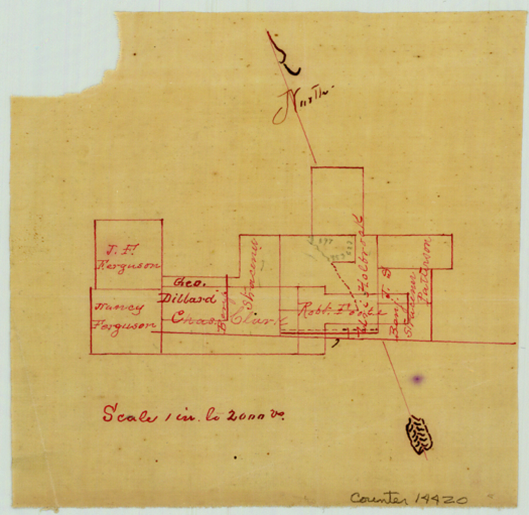
Bell County Sketch File 25
[Sketch and statement concerning surveys near Little Elm Creek]
-
Map/Doc
14420
-
Collection
General Map Collection
-
Object Dates
1882/4/26 (Correspondence Date)
1882/5/1 (File Date)
1882/4/24 (Survey Date)
-
People and Organizations
J.W. Turner (Surveyor/Engineer)
-
Counties
Bell
-
Subjects
Surveying Sketch File
-
Height x Width
5.1 x 5.3 inches
13.0 x 13.5 cm
-
Medium
paper, manuscript
-
Features
[Little Elm Creek]
Part of: General Map Collection
Edwards County Working Sketch 111

Print $40.00
- Digital $50.00
Edwards County Working Sketch 111
1972
Size 58.1 x 30.8 inches
Map/Doc 68987
Bandera County Boundary File 1

Print $20.00
- Digital $50.00
Bandera County Boundary File 1
Size 7.7 x 26.8 inches
Map/Doc 50263
Flight Mission No. BRE-1P, Frame 29, Nueces County

Print $20.00
- Digital $50.00
Flight Mission No. BRE-1P, Frame 29, Nueces County
1956
Size 18.4 x 22.5 inches
Map/Doc 86625
Lamb County Rolled Sketch 7

Print $20.00
- Digital $50.00
Lamb County Rolled Sketch 7
Size 45.6 x 26.3 inches
Map/Doc 9415
Collin County Sketch File 9

Print $4.00
- Digital $50.00
Collin County Sketch File 9
1878
Size 8.3 x 10.1 inches
Map/Doc 18870
Montgomery County Sketch File 19

Print $24.00
- Digital $50.00
Montgomery County Sketch File 19
1931
Size 9.0 x 7.0 inches
Map/Doc 31835
Stonewall County Rolled Sketch 25

Print $20.00
- Digital $50.00
Stonewall County Rolled Sketch 25
1952
Size 27.8 x 22.1 inches
Map/Doc 7873
Parker County Sketch File 45

Print $10.00
- Digital $50.00
Parker County Sketch File 45
1935
Size 11.0 x 8.5 inches
Map/Doc 33610

Jefferson County Sketch File 46

Print $20.00
- Digital $50.00
Jefferson County Sketch File 46
1933
Size 20.8 x 31.2 inches
Map/Doc 11880
Flight Mission No. CRC-2R, Frame 53, Chambers County

Print $20.00
- Digital $50.00
Flight Mission No. CRC-2R, Frame 53, Chambers County
1956
Size 18.5 x 22.4 inches
Map/Doc 84726
Calhoun County NRC Article 33.136 Sketch 6

Print $24.00
- Digital $50.00
Calhoun County NRC Article 33.136 Sketch 6
2014
Size 18.0 x 24.0 inches
Map/Doc 94462
You may also like
Reeves County Working Sketch 17

Print $20.00
- Digital $50.00
Reeves County Working Sketch 17
1961
Size 30.2 x 30.9 inches
Map/Doc 63460
Terry County Rolled Sketch 10

Print $20.00
- Digital $50.00
Terry County Rolled Sketch 10
2001
Size 25.2 x 23.8 inches
Map/Doc 76414
Coast Chart No. 210 - Aransas Pass and Corpus Christi Bay with the coast to latitude 27° 12', Texas

Print $20.00
- Digital $50.00
Coast Chart No. 210 - Aransas Pass and Corpus Christi Bay with the coast to latitude 27° 12', Texas
1887
Size 30.4 x 24.0 inches
Map/Doc 73444
Sketch of Colorado Co. presented by Mr. Mason

Print $2.00
- Digital $50.00
Sketch of Colorado Co. presented by Mr. Mason
1845
Size 14.3 x 8.2 inches
Map/Doc 69736
Wilbarger County Working Sketch 3

Print $20.00
- Digital $50.00
Wilbarger County Working Sketch 3
1923
Size 22.0 x 23.9 inches
Map/Doc 72541
Brewster County Rolled Sketch RSH

Print $20.00
- Digital $50.00
Brewster County Rolled Sketch RSH
Size 31.9 x 28.3 inches
Map/Doc 5324
Red River County Rolled Sketch 6

Print $40.00
- Digital $50.00
Red River County Rolled Sketch 6
1966
Size 58.1 x 45.2 inches
Map/Doc 9843
San Patricio County Sketch File 15A

Print $4.00
San Patricio County Sketch File 15A
1883
Size 11.0 x 8.5 inches
Map/Doc 97195
Robertson County Rolled Sketch 1

Print $20.00
- Digital $50.00
Robertson County Rolled Sketch 1
1966
Size 45.5 x 28.9 inches
Map/Doc 9862
Rand McNally Main Highway Map of Texas

Print $20.00
Rand McNally Main Highway Map of Texas
1923
Size 27.7 x 40.3 inches
Map/Doc 76260
Webb County Sketch File 46-1

Print $20.00
- Digital $50.00
Webb County Sketch File 46-1
1939
Size 24.9 x 15.3 inches
Map/Doc 12645
Van Zandt County Sketch File 27

Print $4.00
- Digital $50.00
Van Zandt County Sketch File 27
1859
Size 13.1 x 8.3 inches
Map/Doc 39447