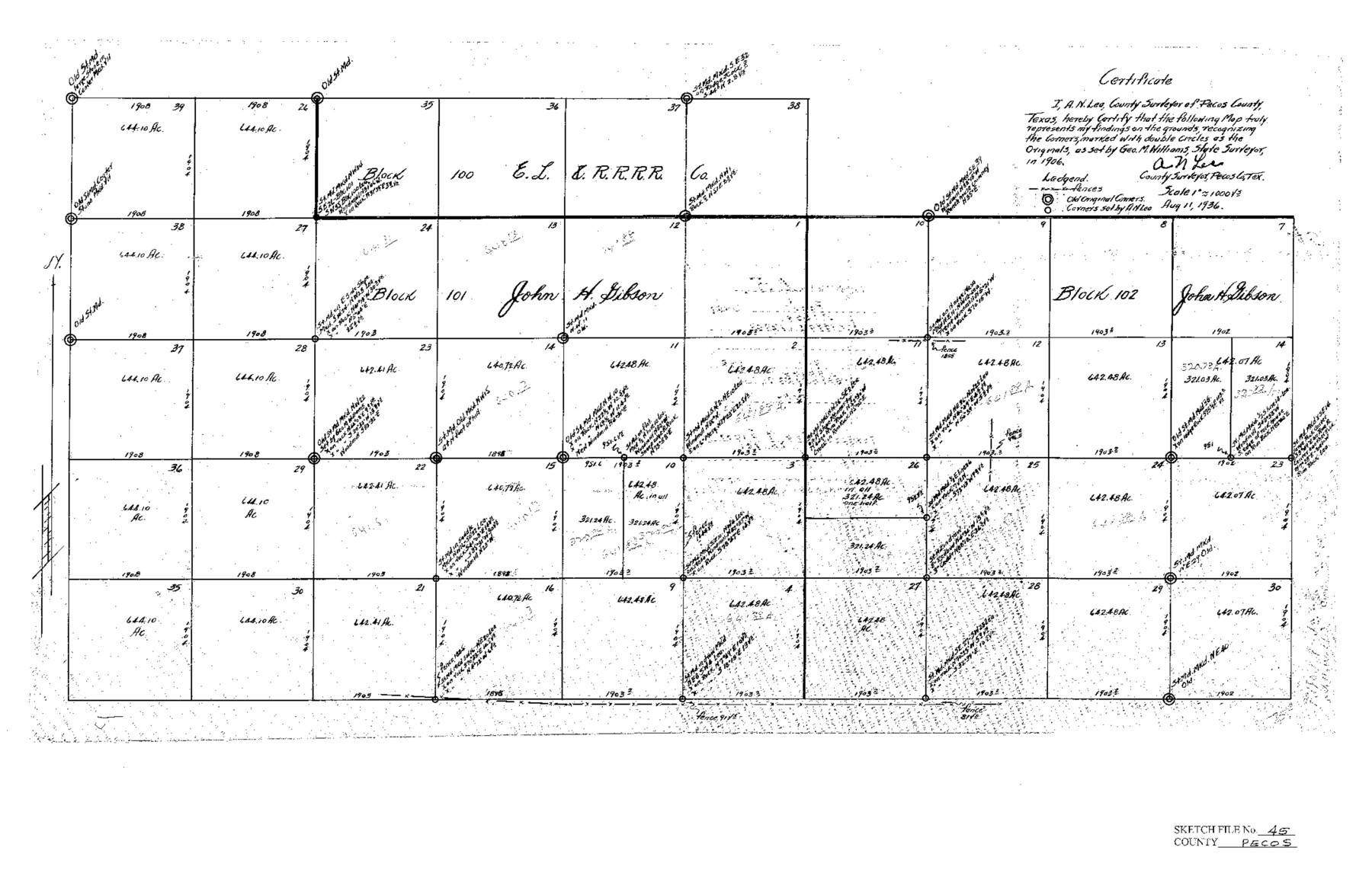
Pecos County Sketch File 45
[John H. Gibson Block 101 and Adjacent Blocks, Pecos County, Texas]
-
Map/Doc
12179
-
Collection
General Map Collection
-
Object Dates
1936/9/1 (File Date)
1906 (Survey Date)
1936/8/11 (Survey Date)
-
People and Organizations
A.N. Lea (Surveyor/Engineer)
George M. Williams (Surveyor/Engineer)
-
Counties
Pecos
-
Subjects
Surveying Sketch File
-
Height x Width
13.8 x 21.7 inches
35.1 x 55.1 cm
-
Medium
paper, print
-
Scale
1" = 1000 varas
Part of: General Map Collection
Stephens County Working Sketch 28

Print $20.00
- Digital $50.00
Stephens County Working Sketch 28
1976
Size 38.4 x 31.8 inches
Map/Doc 63971

Travis County Rolled Sketch 30

Print $20.00
- Digital $50.00
Travis County Rolled Sketch 30
1943
Size 26.5 x 25.6 inches
Map/Doc 8032
Flight Mission No. DAG-14K, Frame 146, Matagorda County

Print $20.00
- Digital $50.00
Flight Mission No. DAG-14K, Frame 146, Matagorda County
1952
Size 18.4 x 22.2 inches
Map/Doc 86313
Lipscomb County Rolled Sketch 6

Print $20.00
- Digital $50.00
Lipscomb County Rolled Sketch 6
1941
Size 45.0 x 46.0 inches
Map/Doc 9452
Presidio County Rolled Sketch 98

Print $20.00
- Digital $50.00
Presidio County Rolled Sketch 98
Size 22.5 x 24.5 inches
Map/Doc 7381
Brewster County Rolled Sketch 21

Print $20.00
- Digital $50.00
Brewster County Rolled Sketch 21
1907
Size 28.5 x 26.0 inches
Map/Doc 5200
[Surveys on the waters of Pine Creeke of the Neches]
![348, [Surveys on the waters of Pine Creeke of the Neches], General Map Collection](https://historictexasmaps.com/wmedia_w700/maps/348.tif.jpg)
Print $2.00
- Digital $50.00
[Surveys on the waters of Pine Creeke of the Neches]
1845
Size 7.9 x 8.2 inches
Map/Doc 348
Aransas County Sketch File 11

Print $40.00
- Digital $50.00
Aransas County Sketch File 11
Size 40.6 x 31.4 inches
Map/Doc 10318
Irion County Working Sketch 4

Print $20.00
- Digital $50.00
Irion County Working Sketch 4
1925
Size 19.4 x 28.1 inches
Map/Doc 66413
Hopkins County Working Sketch 1

Print $20.00
- Digital $50.00
Hopkins County Working Sketch 1
1951
Size 24.1 x 19.0 inches
Map/Doc 66226
Map of the Missouri Pacific Railway, St. Louis, Iron Mountain and Southern R'y

Print $20.00
- Digital $50.00
Map of the Missouri Pacific Railway, St. Louis, Iron Mountain and Southern R'y
1894
Size 11.4 x 17.5 inches
Map/Doc 93950
You may also like
Presidio County Working Sketch 57

Print $20.00
- Digital $50.00
Presidio County Working Sketch 57
1955
Size 47.3 x 39.3 inches
Map/Doc 71734
Presidio County Working Sketch 47

Print $20.00
- Digital $50.00
Presidio County Working Sketch 47
1950
Size 30.2 x 39.5 inches
Map/Doc 71724
Ownership Map of Val Verde County

Print $20.00
- Digital $50.00
Ownership Map of Val Verde County
1927
Size 32.7 x 36.9 inches
Map/Doc 92847
Bowie County Sketch File 6e

Print $4.00
- Digital $50.00
Bowie County Sketch File 6e
1927
Size 11.2 x 8.4 inches
Map/Doc 14852
Knox County Sketch File 23

Print $20.00
- Digital $50.00
Knox County Sketch File 23
1931
Size 21.4 x 15.3 inches
Map/Doc 11963
Webb County Working Sketch 60

Print $20.00
- Digital $50.00
Webb County Working Sketch 60
1960
Size 43.3 x 47.8 inches
Map/Doc 72426
[Surveying Sketch of Martha G. Morrow, Mary Bigger, et al in Travis County]
![522, [Surveying Sketch of Martha G. Morrow, Mary Bigger, et al in Travis County], Maddox Collection](https://historictexasmaps.com/wmedia_w700/maps/522.tif.jpg)
Print $3.00
- Digital $50.00
[Surveying Sketch of Martha G. Morrow, Mary Bigger, et al in Travis County]
Size 12.4 x 9.6 inches
Map/Doc 522
Pecos County Sketch File 67

Print $76.00
- Digital $50.00
Pecos County Sketch File 67
1919
Size 14.1 x 8.8 inches
Map/Doc 33828
Gillespie County Sketch File 6

Print $4.00
- Digital $50.00
Gillespie County Sketch File 6
Size 6.4 x 11.0 inches
Map/Doc 24139
Flight Mission No. BRA-16M, Frame 151, Jefferson County

Print $20.00
- Digital $50.00
Flight Mission No. BRA-16M, Frame 151, Jefferson County
1953
Size 18.7 x 22.3 inches
Map/Doc 85757
[Galveston, Harrisburg & San Antonio Railroad from Cuero to Stockdale]
![64184, [Galveston, Harrisburg & San Antonio Railroad from Cuero to Stockdale], General Map Collection](https://historictexasmaps.com/wmedia_w700/maps/64184.tif.jpg)
Print $20.00
- Digital $50.00
[Galveston, Harrisburg & San Antonio Railroad from Cuero to Stockdale]
1906
Size 14.1 x 34.2 inches
Map/Doc 64184
Scurry County Rolled Sketch 4

Print $20.00
- Digital $50.00
Scurry County Rolled Sketch 4
Size 35.7 x 26.0 inches
Map/Doc 7765