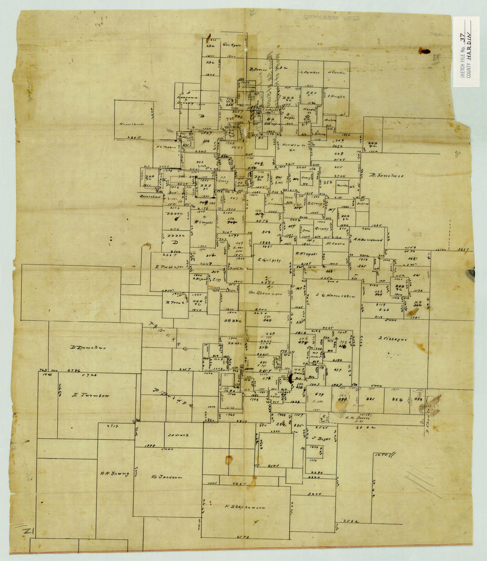
Hardin County Sketch File 37
[Large area southwest of Kountze]
-
Map/Doc
11633
-
Collection
General Map Collection
-
Counties
Hardin
-
Subjects
Surveying Sketch File
-
Height x Width
20.4 x 17.7 inches
51.8 x 45.0 cm
-
Medium
paper, manuscript
Part of: General Map Collection
Bandera County Working Sketch 14

Print $20.00
- Digital $50.00
Bandera County Working Sketch 14
1934
Size 28.0 x 30.9 inches
Map/Doc 67607
El Paso County Boundary File 12

Print $16.00
- Digital $50.00
El Paso County Boundary File 12
Size 13.9 x 8.5 inches
Map/Doc 53153
Johnson County Boundary File 51b

Print $80.00
- Digital $50.00
Johnson County Boundary File 51b
Size 53.9 x 9.4 inches
Map/Doc 55619
Culberson County Working Sketch 24

Print $20.00
- Digital $50.00
Culberson County Working Sketch 24
1947
Size 36.8 x 36.2 inches
Map/Doc 68477
Cameron County Aerial Photograph Index Sheet 6

Print $20.00
- Digital $50.00
Cameron County Aerial Photograph Index Sheet 6
1955
Size 20.6 x 14.0 inches
Map/Doc 83678

Foard County Boundary File 1

Print $8.00
- Digital $50.00
Foard County Boundary File 1
Size 9.1 x 4.1 inches
Map/Doc 53500
Plan C, Part 1st Shewing that portion of the boundary between Texas and the United States, included between the intersection of the 32nd degree of Latitude with western bank of Sabine River and the 36th mile mound

Print $20.00
- Digital $50.00
Plan C, Part 1st Shewing that portion of the boundary between Texas and the United States, included between the intersection of the 32nd degree of Latitude with western bank of Sabine River and the 36th mile mound
1842
Size 19.4 x 27.7 inches
Map/Doc 65412
Calhoun County Rolled Sketch 9

Print $20.00
- Digital $50.00
Calhoun County Rolled Sketch 9
Size 24.4 x 38.7 inches
Map/Doc 5365
Flight Mission No. CGI-4N, Frame 186, Cameron County

Print $20.00
- Digital $50.00
Flight Mission No. CGI-4N, Frame 186, Cameron County
1955
Size 18.5 x 22.2 inches
Map/Doc 84689
Orange County Working Sketch 43

Print $20.00
- Digital $50.00
Orange County Working Sketch 43
1980
Size 18.3 x 18.4 inches
Map/Doc 71375
Flight Mission No. DAG-23K, Frame 178, Matagorda County

Print $20.00
- Digital $50.00
Flight Mission No. DAG-23K, Frame 178, Matagorda County
1953
Size 18.8 x 22.5 inches
Map/Doc 86513
You may also like
Map of Childress, Childress County, Texas on the Line of the Fort Worth and Denver City Railway, Texas Pan-Handle Route

Print $20.00
- Digital $50.00
Map of Childress, Childress County, Texas on the Line of the Fort Worth and Denver City Railway, Texas Pan-Handle Route
1888
Size 35.6 x 28.0 inches
Map/Doc 7691
[H. & T. C. RR. Company, Block 46, Sections 60- 69]
![91253, [H. & T. C. RR. Company, Block 46, Sections 60- 69], Twichell Survey Records](https://historictexasmaps.com/wmedia_w700/maps/91253-1.tif.jpg)
Print $20.00
- Digital $50.00
[H. & T. C. RR. Company, Block 46, Sections 60- 69]
Size 29.8 x 18.3 inches
Map/Doc 91253
Right of Way and Track Map of The Wichita Falls & Southern Railroad Company

Print $40.00
- Digital $50.00
Right of Way and Track Map of The Wichita Falls & Southern Railroad Company
1942
Size 24.4 x 56.4 inches
Map/Doc 64515
Burleson County Working Sketch 47

Print $20.00
- Digital $50.00
Burleson County Working Sketch 47
2010
Size 23.2 x 28.1 inches
Map/Doc 89620
Burnet County Sketch File 35

Print $4.00
- Digital $50.00
Burnet County Sketch File 35
Size 12.7 x 8.1 inches
Map/Doc 16752

Hansford County Sketch File 9

Print $33.00
- Digital $50.00
Hansford County Sketch File 9
1928
Size 11.1 x 8.8 inches
Map/Doc 24963
Galveston County NRC Article 33.136 Sketch 95

Print $40.00
Galveston County NRC Article 33.136 Sketch 95
2024
Map/Doc 97368
Brewster County Rolled Sketch 101

Print $40.00
- Digital $50.00
Brewster County Rolled Sketch 101
1927
Size 74.2 x 42.3 inches
Map/Doc 9192
Val Verde County Working Sketch 88

Print $20.00
- Digital $50.00
Val Verde County Working Sketch 88
1973
Size 29.0 x 36.9 inches
Map/Doc 72223
National Map Company's Map of Texas showing counties, cities, towns, villages and post offices, steam and electric railways with stations and distance between stations

Print $40.00
- Digital $50.00
National Map Company's Map of Texas showing counties, cities, towns, villages and post offices, steam and electric railways with stations and distance between stations
1920
Size 49.1 x 50.3 inches
Map/Doc 10750
Jack County Working Sketch 12

Print $20.00
- Digital $50.00
Jack County Working Sketch 12
1959
Size 18.0 x 22.4 inches
Map/Doc 66438