Burnet County Sketch File 39
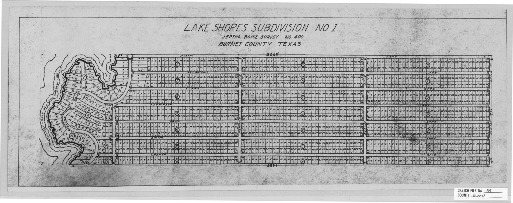
Lake Shores Subdivision No. 1, Jeptha Boyce survey no. 400, Burnet County, Texas
-
Map/Doc
11028
-
Collection
General Map Collection
-
Counties
Burnet
-
Subjects
Surveying Sketch File
-
Height x Width
9.6 x 24.1 inches
24.4 x 61.2 cm
-
Medium
photostat
-
Features
Lake Shore
Austin Lane
Howary Drive
Burnet Lane
Parmele Drive
San Antonio Lane
Thompson Lane
Davis Lane
Smith Lane
Shore Drive
Casner Lane
Part of: General Map Collection
Brazoria County NRC Article 33.136 Sketch 14

Print $36.00
- Digital $50.00
Brazoria County NRC Article 33.136 Sketch 14
2013
Size 24.0 x 36.0 inches
Map/Doc 95057
Stephens County Working Sketch 24

Print $20.00
- Digital $50.00
Stephens County Working Sketch 24
1976
Size 39.2 x 31.9 inches
Map/Doc 63967
Val Verde County Rolled Sketch 64

Print $20.00
- Digital $50.00
Val Verde County Rolled Sketch 64
1937
Size 24.6 x 18.2 inches
Map/Doc 8129
Brazos County Working Sketch 9

Print $20.00
- Digital $50.00
Brazos County Working Sketch 9
1982
Size 36.2 x 48.8 inches
Map/Doc 67484
Sterling County Sketch File 17

Print $8.00
- Digital $50.00
Sterling County Sketch File 17
1936
Size 11.2 x 8.8 inches
Map/Doc 37154
Galveston County Sketch File 61

Print $24.00
- Digital $50.00
Galveston County Sketch File 61
1988
Size 11.3 x 8.7 inches
Map/Doc 23653
Runnels County Rolled Sketch 46

Print $20.00
- Digital $50.00
Runnels County Rolled Sketch 46
1954
Size 33.5 x 39.0 inches
Map/Doc 9872
Gaines County Rolled Sketch 21

Print $20.00
- Digital $50.00
Gaines County Rolled Sketch 21
Size 29.0 x 24.9 inches
Map/Doc 5937
Kent County Boundary File 6

Print $4.00
- Digital $50.00
Kent County Boundary File 6
Size 14.1 x 8.8 inches
Map/Doc 55868
Refugio County Working Sketch 12

Print $40.00
- Digital $50.00
Refugio County Working Sketch 12
1949
Size 42.6 x 48.2 inches
Map/Doc 63521
Tom Green County

Print $40.00
- Digital $50.00
Tom Green County
1942
Size 55.4 x 47.6 inches
Map/Doc 63073
Cameron County State Real Property Sketch 2

Print $20.00
- Digital $50.00
Cameron County State Real Property Sketch 2
1996
Size 25.4 x 39.1 inches
Map/Doc 80132
You may also like
Flight Mission No. DQN-4K, Frame 5, Calhoun County

Print $20.00
- Digital $50.00
Flight Mission No. DQN-4K, Frame 5, Calhoun County
1953
Size 18.7 x 22.4 inches
Map/Doc 84370
Childress Co.

Print $20.00
- Digital $50.00
Childress Co.
1978
Size 46.2 x 35.0 inches
Map/Doc 73105
General Highway Map. Detail of Cities and Towns in Henderson County, Texas

Print $20.00
General Highway Map. Detail of Cities and Towns in Henderson County, Texas
1939
Size 18.6 x 25.0 inches
Map/Doc 79126
Gaines County Sketch File 22

Print $20.00
- Digital $50.00
Gaines County Sketch File 22
1962
Size 18.1 x 23.4 inches
Map/Doc 11528
Hale County Rolled Sketch 10

Print $40.00
- Digital $50.00
Hale County Rolled Sketch 10
Size 52.4 x 28.3 inches
Map/Doc 76447
Pottsboro Quadrangle

Print $20.00
- Digital $50.00
Pottsboro Quadrangle
1999
Size 35.4 x 23.4 inches
Map/Doc 97363
Oldham County Boundary File 1

Print $6.00
- Digital $50.00
Oldham County Boundary File 1
Size 8.8 x 7.2 inches
Map/Doc 57731
[Sketch showing North line of James Stewart survey and vicinity]
![90116, [Sketch showing North line of James Stewart survey and vicinity], Twichell Survey Records](https://historictexasmaps.com/wmedia_w700/maps/90116-1.tif.jpg)
Print $20.00
- Digital $50.00
[Sketch showing North line of James Stewart survey and vicinity]
Size 30.0 x 9.0 inches
Map/Doc 90116
Martin County Sketch File 12

Print $20.00
- Digital $50.00
Martin County Sketch File 12
1937
Size 22.9 x 19.5 inches
Map/Doc 12030
Brazoria County Sketch File 14

Print $8.00
- Digital $50.00
Brazoria County Sketch File 14
1892
Size 13.9 x 8.7 inches
Map/Doc 14973
General Highway Map, Stonewall County, Texas

Print $20.00
General Highway Map, Stonewall County, Texas
1940
Size 18.3 x 24.8 inches
Map/Doc 79249
