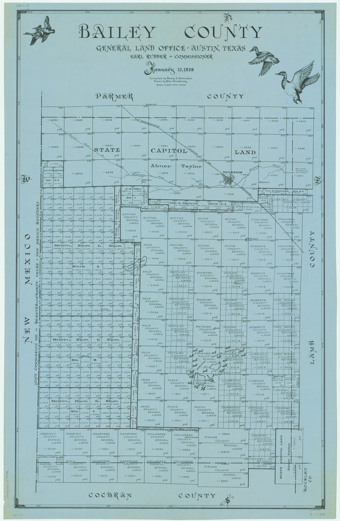
[Surveys near Carancahua Bay]
Atlas F, Page 2, Sketch 7 (F-2-7)
F-2-7
-
Map/Doc
106
-
Collection
General Map Collection
-
Object Dates
1844/6/22 (Creation Date)
-
People and Organizations
Thomas Simons (Surveyor/Engineer)
-
Counties
Jackson
-
Subjects
Atlas
-
Height x Width
13.1 x 8.0 inches
33.3 x 20.3 cm
-
Medium
paper, manuscript
-
Comments
Conserved in 2004.
-
Features
East Carancahua Creek
Carancahua Bay
Part of: General Map Collection
Roberts County Working Sketch 17


Print $20.00
- Digital $50.00
Roberts County Working Sketch 17
1975
Size 36.1 x 37.3 inches
Map/Doc 63543
Maverick County Rolled Sketch 21
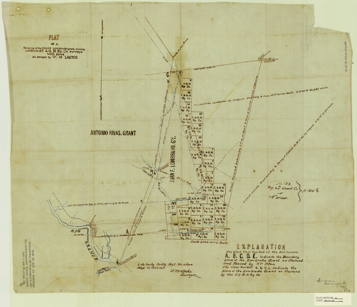

Print $20.00
- Digital $50.00
Maverick County Rolled Sketch 21
Size 24.6 x 28.6 inches
Map/Doc 6713
Polk County Sketch File 13


Print $4.00
- Digital $50.00
Polk County Sketch File 13
Size 5.1 x 7.4 inches
Map/Doc 34150
Nolan County Sketch File 1


Print $48.00
- Digital $50.00
Nolan County Sketch File 1
1890
Size 14.1 x 8.5 inches
Map/Doc 32470
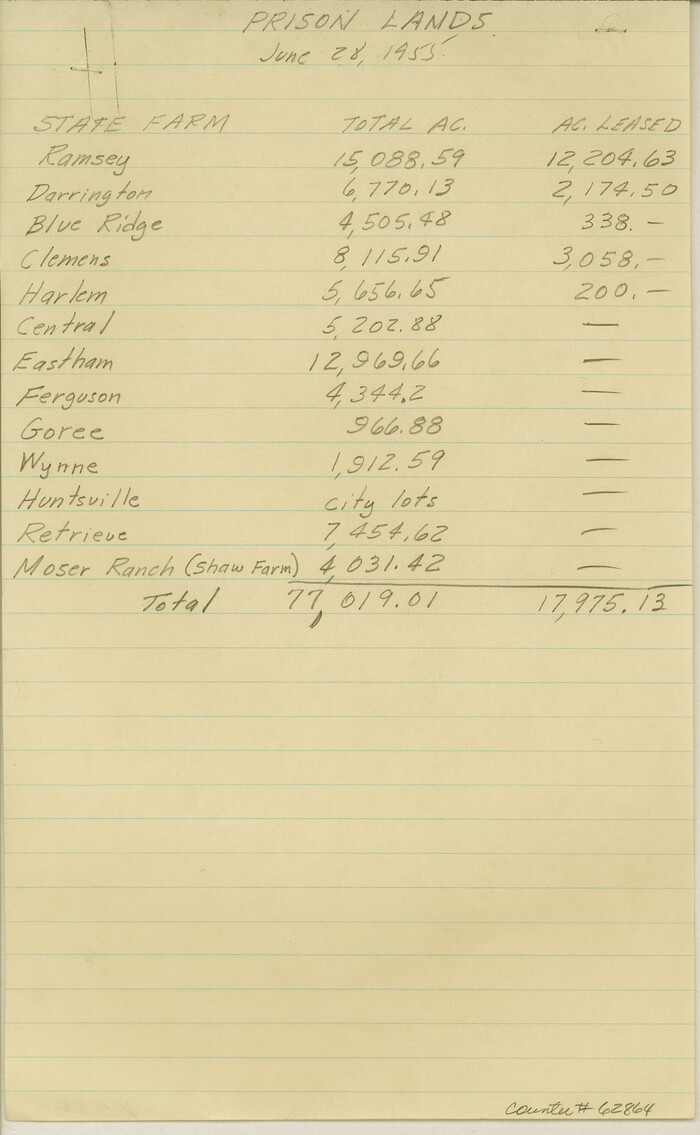
Maps & Lists Showing Prison Lands (Oil & Gas) Leased as of June 1955

Digital $50.00
Maps & Lists Showing Prison Lands (Oil & Gas) Leased as of June 1955
Size 11.4 x 7.0 inches
Map/Doc 62864
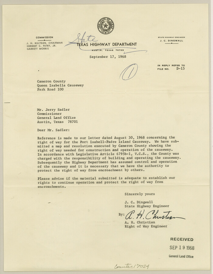
Cameron County Sketch File 4

Print $52.00
- Digital $50.00
Cameron County Sketch File 4
1968
Size 11.3 x 8.8 inches
Map/Doc 17024
Flight Mission No. DQO-8K, Frame 140, Galveston County
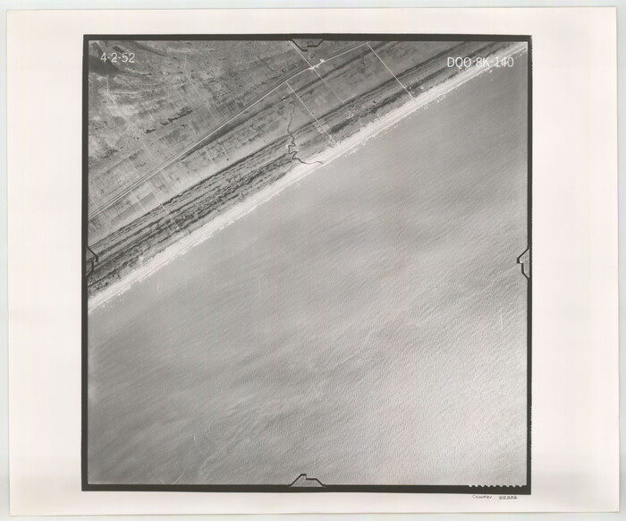

Print $20.00
- Digital $50.00
Flight Mission No. DQO-8K, Frame 140, Galveston County
1952
Size 18.7 x 22.4 inches
Map/Doc 85202
Wharton County Working Sketch 7
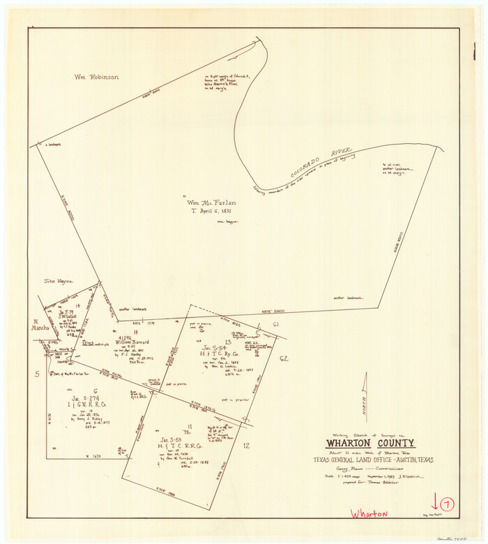

Print $20.00
- Digital $50.00
Wharton County Working Sketch 7
1989
Size 27.7 x 24.9 inches
Map/Doc 72471
San Jacinto County Working Sketch 36
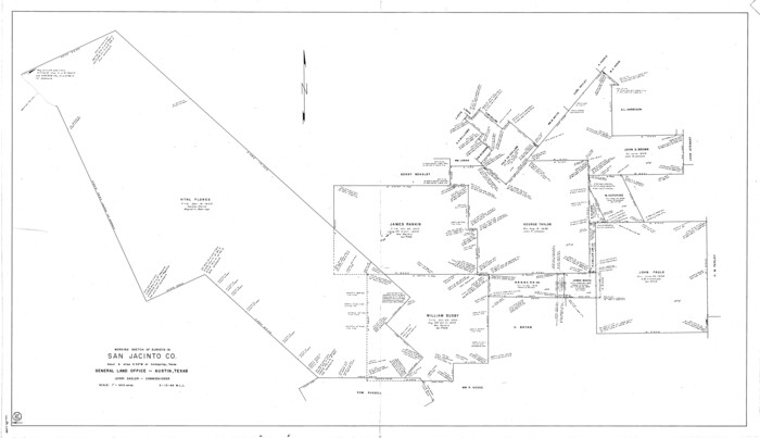

Print $40.00
- Digital $50.00
San Jacinto County Working Sketch 36
1964
Size 33.0 x 57.2 inches
Map/Doc 63749
Rockwall County
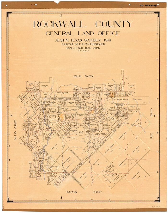

Print $20.00
- Digital $50.00
Rockwall County
1941
Size 28.7 x 23.0 inches
Map/Doc 73277
You may also like
The Republic County of Montgomery. December 31, 1838
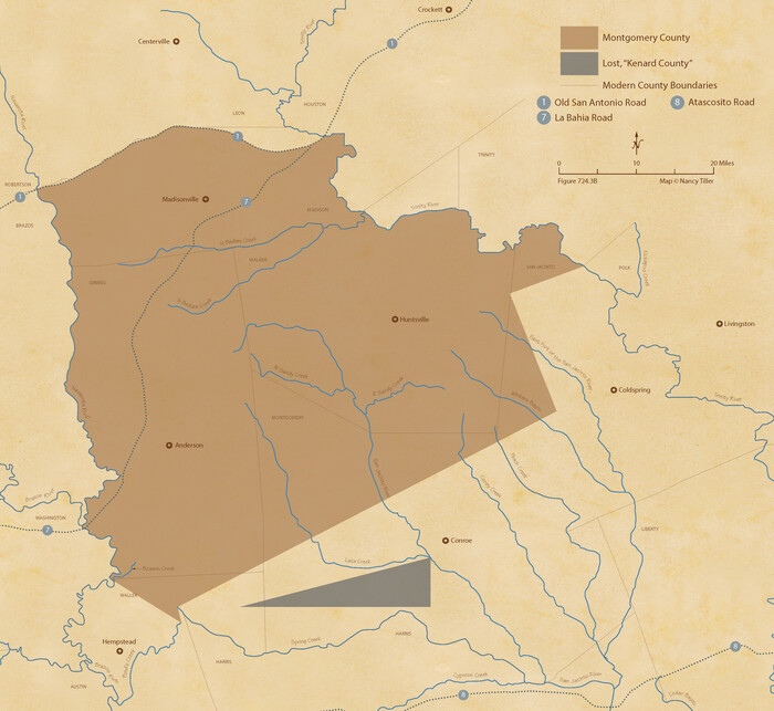

Print $20.00
The Republic County of Montgomery. December 31, 1838
2020
Size 19.9 x 21.7 inches
Map/Doc 96236
Padre Island National Seashore
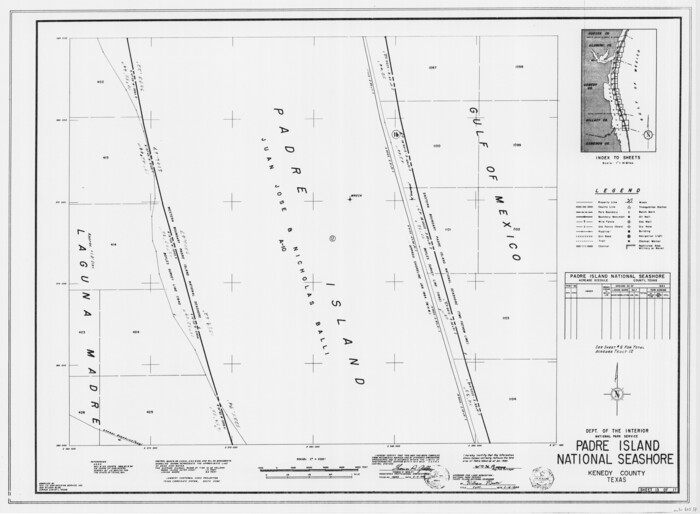

Print $20.00
- Digital $50.00
Padre Island National Seashore
Size 16.0 x 21.7 inches
Map/Doc 60537
Travis County Sketch File ABC


Print $20.00
- Digital $50.00
Travis County Sketch File ABC
Size 23.8 x 19.0 inches
Map/Doc 12480
Montgomery County Working Sketch 45


Print $20.00
- Digital $50.00
Montgomery County Working Sketch 45
1956
Size 14.8 x 29.5 inches
Map/Doc 71152
Terrell County Working Sketch 38


Print $40.00
- Digital $50.00
Terrell County Working Sketch 38
1950
Size 89.1 x 24.9 inches
Map/Doc 62131
Oldham and Hartley Counties Sketch


Print $20.00
- Digital $50.00
Oldham and Hartley Counties Sketch
1906
Size 16.1 x 17.1 inches
Map/Doc 90671
Starr County Working Sketch 29


Print $20.00
- Digital $50.00
Starr County Working Sketch 29
2007
Size 28.6 x 34.0 inches
Map/Doc 87208
Liberty County Rolled Sketch OB-1
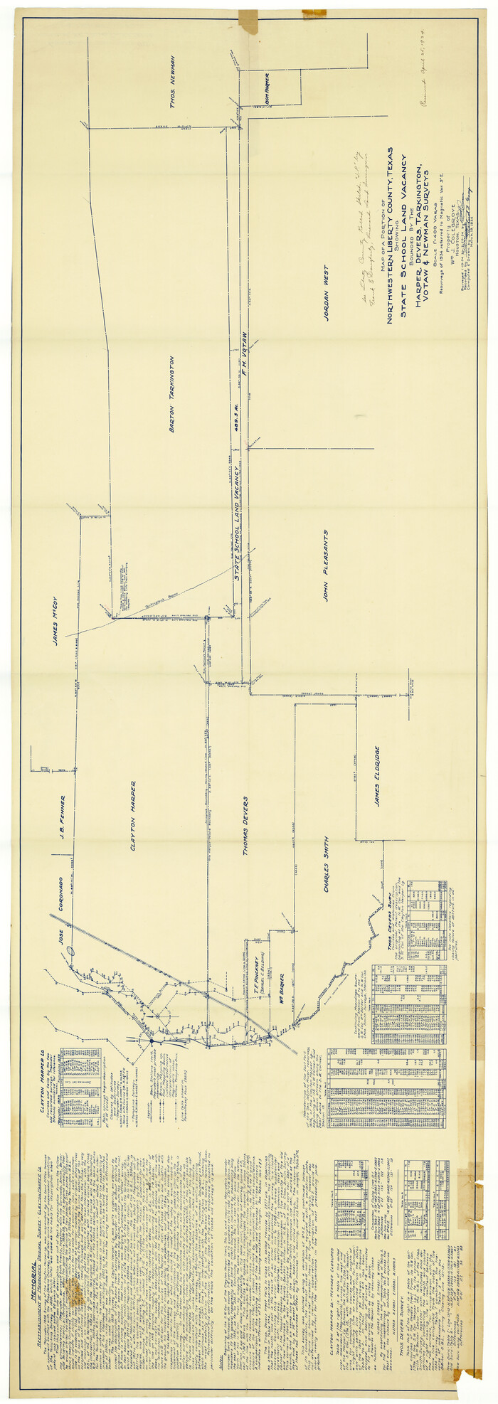

Print $40.00
- Digital $50.00
Liberty County Rolled Sketch OB-1
1934
Size 70.7 x 25.1 inches
Map/Doc 9564
Roberts County, State of Texas


Print $20.00
Roberts County, State of Texas
1888
Size 21.6 x 16.4 inches
Map/Doc 88990
La Salle County Rolled Sketch 17
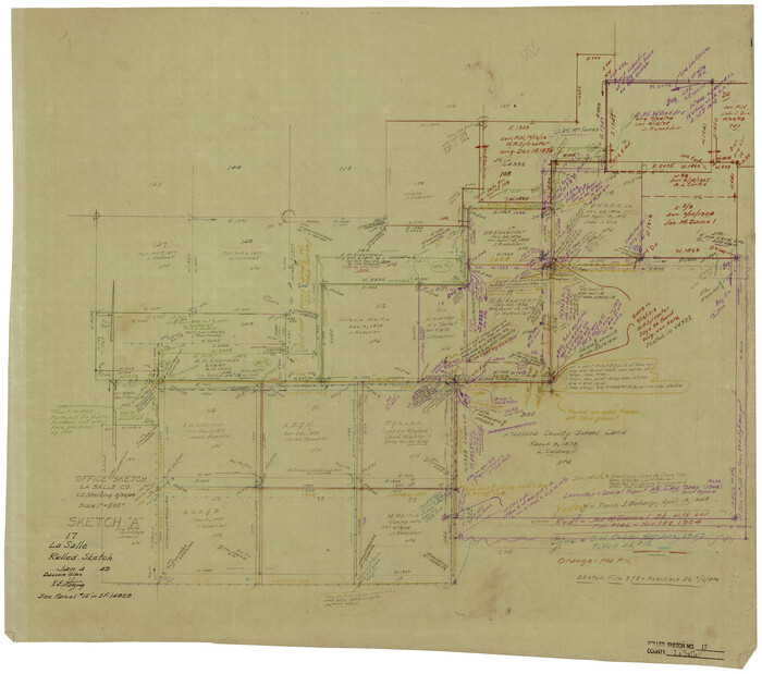

Print $20.00
- Digital $50.00
La Salle County Rolled Sketch 17
Size 26.5 x 29.9 inches
Map/Doc 6581
Flight Mission No. BRE-1P, Frame 67, Nueces County
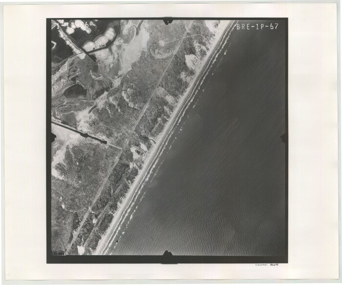

Print $20.00
- Digital $50.00
Flight Mission No. BRE-1P, Frame 67, Nueces County
1956
Size 18.7 x 22.4 inches
Map/Doc 86649
Hale County Working Sketch 2


Print $20.00
- Digital $50.00
Hale County Working Sketch 2
1916
Size 13.5 x 13.1 inches
Map/Doc 63322
![106, [Surveys near Carancahua Bay], General Map Collection](https://historictexasmaps.com/wmedia_w1800h1800/maps/106.tif.jpg)

