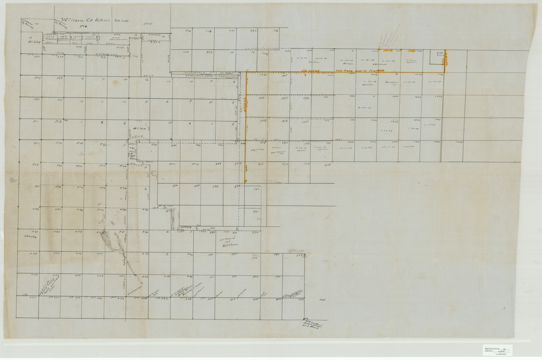
Lynn County Sketch File 16
[Sketch of surveys in the east half of the county and extending into Garza County]
-
Map/Doc
10530
-
Collection
General Map Collection
-
Counties
Lynn Garza
-
Subjects
Surveying Sketch File
-
Height x Width
31.6 x 47.5 inches
80.3 x 120.7 cm
-
Medium
paper, manuscript
-
Features
Tahoka
Part of: General Map Collection
Hamilton County Working Sketch 10

Print $20.00
- Digital $50.00
Hamilton County Working Sketch 10
1946
Size 30.6 x 24.6 inches
Map/Doc 63348
Boundary Between the United States & Mexico Agreed Upon by the Joint Commission under the Treaty of Guadalupe Hidalgo

Print $4.00
- Digital $50.00
Boundary Between the United States & Mexico Agreed Upon by the Joint Commission under the Treaty of Guadalupe Hidalgo
1853
Size 24.0 x 17.6 inches
Map/Doc 65391
La Salle County

Print $20.00
- Digital $50.00
La Salle County
1886
Size 25.4 x 21.3 inches
Map/Doc 3795
Blanco County Working Sketch 20

Print $20.00
- Digital $50.00
Blanco County Working Sketch 20
1960
Size 27.3 x 36.4 inches
Map/Doc 67380
Webb County Sketch File 1-2

Print $20.00
- Digital $50.00
Webb County Sketch File 1-2
1912
Size 21.2 x 22.6 inches
Map/Doc 12611
Rains County Working Sketch 11

Print $20.00
- Digital $50.00
Rains County Working Sketch 11
Size 40.1 x 35.1 inches
Map/Doc 71837
Concho County Sketch File 23

Print $6.00
- Digital $50.00
Concho County Sketch File 23
Size 11.0 x 7.3 inches
Map/Doc 19146

Flight Mission No. CRC-5R, Frame 33, Chambers County

Print $20.00
- Digital $50.00
Flight Mission No. CRC-5R, Frame 33, Chambers County
1956
Size 18.6 x 22.5 inches
Map/Doc 84952
Real County Rolled Sketch 18

Print $20.00
- Digital $50.00
Real County Rolled Sketch 18
Size 22.0 x 28.0 inches
Map/Doc 7464
McCulloch County Working Sketch 5

Print $20.00
- Digital $50.00
McCulloch County Working Sketch 5
1961
Size 21.3 x 19.2 inches
Map/Doc 70680
Haskell County Sketch File 26

Print $9.00
- Digital $50.00
Haskell County Sketch File 26
1992
Size 11.3 x 8.8 inches
Map/Doc 26182
You may also like
Oldham County Sketch File 14

Print $20.00
- Digital $50.00
Oldham County Sketch File 14
1904
Size 20.0 x 24.6 inches
Map/Doc 12115
Glasscock Public Roads

Print $20.00
- Digital $50.00
Glasscock Public Roads
Size 38.3 x 36.8 inches
Map/Doc 89944
de Leon Empresario Colony. April 30, 1829

Print $20.00
de Leon Empresario Colony. April 30, 1829
2020
Size 18.5 x 21.7 inches
Map/Doc 95990
Map of Dallas County

Print $20.00
- Digital $50.00
Map of Dallas County
1861
Size 23.5 x 20.0 inches
Map/Doc 3467
Burleson County Working Sketch 16

Print $3.00
- Digital $50.00
Burleson County Working Sketch 16
1980
Size 10.1 x 14.1 inches
Map/Doc 67735
Terrell County Rolled Sketch 26

Print $20.00
- Digital $50.00
Terrell County Rolled Sketch 26
1914
Size 17.3 x 15.2 inches
Map/Doc 7933
Lubbock County Sketch File 7

Print $8.00
- Digital $50.00
Lubbock County Sketch File 7
1906
Size 7.4 x 8.5 inches
Map/Doc 30422
Map of Erath County

Print $20.00
- Digital $50.00
Map of Erath County
1872
Size 20.2 x 19.8 inches
Map/Doc 3521
Uvalde County Rolled Sketch 13

Print $20.00
- Digital $50.00
Uvalde County Rolled Sketch 13
Size 38.3 x 32.4 inches
Map/Doc 10065
Political Chief of Nacogdoches to Secretary of the State Government (PCNSS)

Political Chief of Nacogdoches to Secretary of the State Government (PCNSS)
Size 12.7 x 9.5 inches
Map/Doc 94265
Collin County Sketch File 1

Print $6.00
- Digital $50.00
Collin County Sketch File 1
1853
Size 6.4 x 8.2 inches
Map/Doc 18855
Copy of Surveyor's Field Book, Morris Browning - In Blocks 7, 5 & 4, I&GNRRCo., Hutchinson and Carson Counties, Texas

Print $2.00
- Digital $50.00
Copy of Surveyor's Field Book, Morris Browning - In Blocks 7, 5 & 4, I&GNRRCo., Hutchinson and Carson Counties, Texas
1888
Size 7.0 x 8.8 inches
Map/Doc 62286