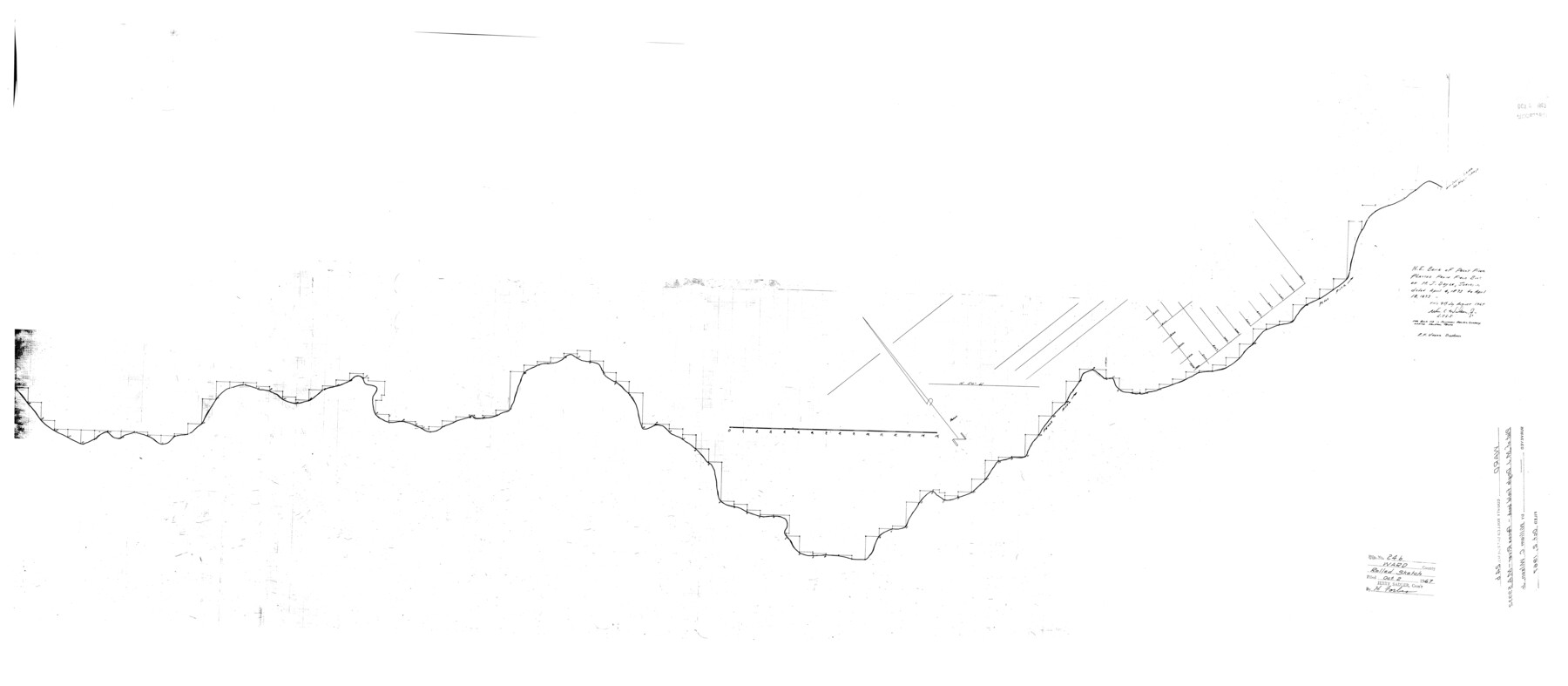
Ward County Rolled Sketch 24B
N.E. bank of Pecos River platted from field book of M.J. Doyle, surveyor dated April 4, 1873 to April 18, 1873
-
Map/Doc
10115
-
Collection
General Map Collection
-
Object Dates
1967/8/9 (Creation Date)
1967/10/2 (File Date)
-
People and Organizations
Wm. C. Wilson, Jr. (Surveyor/Engineer)
R.F. Vherik (Draftsman)
-
Counties
Ward
-
Subjects
Surveying Rolled Sketch
-
Height x Width
24.7 x 56.4 inches
62.7 x 143.3 cm
-
Medium
mylar, print
Part of: General Map Collection
West Part Presidio Co.

Print $20.00
- Digital $50.00
West Part Presidio Co.
1974
Size 40.5 x 31.4 inches
Map/Doc 77399

Mason County Boundary File 3a

Print $12.00
- Digital $50.00
Mason County Boundary File 3a
Size 8.9 x 8.2 inches
Map/Doc 56846
Intracoastal Waterway in Texas - Corpus Christi to Point Isabel including Arroyo Colorado to Mo. Pac. R.R. Bridge Near Harlingen

Print $20.00
- Digital $50.00
Intracoastal Waterway in Texas - Corpus Christi to Point Isabel including Arroyo Colorado to Mo. Pac. R.R. Bridge Near Harlingen
1933
Size 28.2 x 41.0 inches
Map/Doc 61846
Pecos County Working Sketch 117

Print $40.00
- Digital $50.00
Pecos County Working Sketch 117
1973
Size 57.7 x 36.8 inches
Map/Doc 71590
San Saba County

Print $20.00
- Digital $50.00
San Saba County
1918
Size 23.6 x 18.4 inches
Map/Doc 78397
Menard County Rolled Sketch 2A

Print $20.00
- Digital $50.00
Menard County Rolled Sketch 2A
1905
Size 23.3 x 18.5 inches
Map/Doc 6753
State Land for Sale on Mustang Island

Print $20.00
- Digital $50.00
State Land for Sale on Mustang Island
1910
Size 28.8 x 20.3 inches
Map/Doc 719
Map of the Recognised Line M. El. P. & P. R.R. from Texas & Arkansas State Line to Milam & Bexar Land District Line

Print $40.00
- Digital $50.00
Map of the Recognised Line M. El. P. & P. R.R. from Texas & Arkansas State Line to Milam & Bexar Land District Line
1856
Size 14.3 x 89.8 inches
Map/Doc 64053
Live Oak County Sketch File 29

Print $6.00
- Digital $50.00
Live Oak County Sketch File 29
1922
Size 13.5 x 8.7 inches
Map/Doc 30319
La Salle County Sketch File 49

Print $20.00
- Digital $50.00
La Salle County Sketch File 49
1942
Size 47.7 x 14.9 inches
Map/Doc 10519
Hardin County Working Sketch 41

Print $20.00
- Digital $50.00
Hardin County Working Sketch 41
Size 35.1 x 40.0 inches
Map/Doc 63440
You may also like
[Blocks 71 and C-8]
![91778, [Blocks 71 and C-8], Twichell Survey Records](https://historictexasmaps.com/wmedia_w700/maps/91778-1.tif.jpg)
Print $20.00
- Digital $50.00
[Blocks 71 and C-8]
Size 29.7 x 21.1 inches
Map/Doc 91778
Haskell County

Print $20.00
- Digital $50.00
Haskell County
1873
Size 21.0 x 25.2 inches
Map/Doc 3643

[Block 1 and vicinity]
![90703, [Block 1 and vicinity], Twichell Survey Records](https://historictexasmaps.com/wmedia_w700/maps/90703-1.tif.jpg)
Print $20.00
- Digital $50.00
[Block 1 and vicinity]
Size 25.3 x 24.1 inches
Map/Doc 90703

San Saba County Sketch File 12

Print $6.00
- Digital $50.00
San Saba County Sketch File 12
Size 11.8 x 9.3 inches
Map/Doc 36439
Flight Mission No. DIX-3P, Frame 59, Aransas County

Print $20.00
- Digital $50.00
Flight Mission No. DIX-3P, Frame 59, Aransas County
1956
Size 17.6 x 21.1 inches
Map/Doc 83761
Johnson County Sketch File 4

Print $10.00
- Digital $50.00
Johnson County Sketch File 4
1858
Size 7.9 x 7.6 inches
Map/Doc 28435
[I. & G. N. Block 1 and surroundings]
![91596, [I. & G. N. Block 1 and surroundings], Twichell Survey Records](https://historictexasmaps.com/wmedia_w700/maps/91596-1.tif.jpg)
Print $20.00
- Digital $50.00
[I. & G. N. Block 1 and surroundings]
1892
Size 18.6 x 25.6 inches
Map/Doc 91596

Hudspeth County Sketch File 44

Print $6.00
- Digital $50.00
Hudspeth County Sketch File 44
1886
Size 11.0 x 8.5 inches
Map/Doc 27027
Nacogdoches County Sketch File 10

Print $6.00
- Digital $50.00
Nacogdoches County Sketch File 10
1886
Size 12.9 x 11.0 inches
Map/Doc 32253