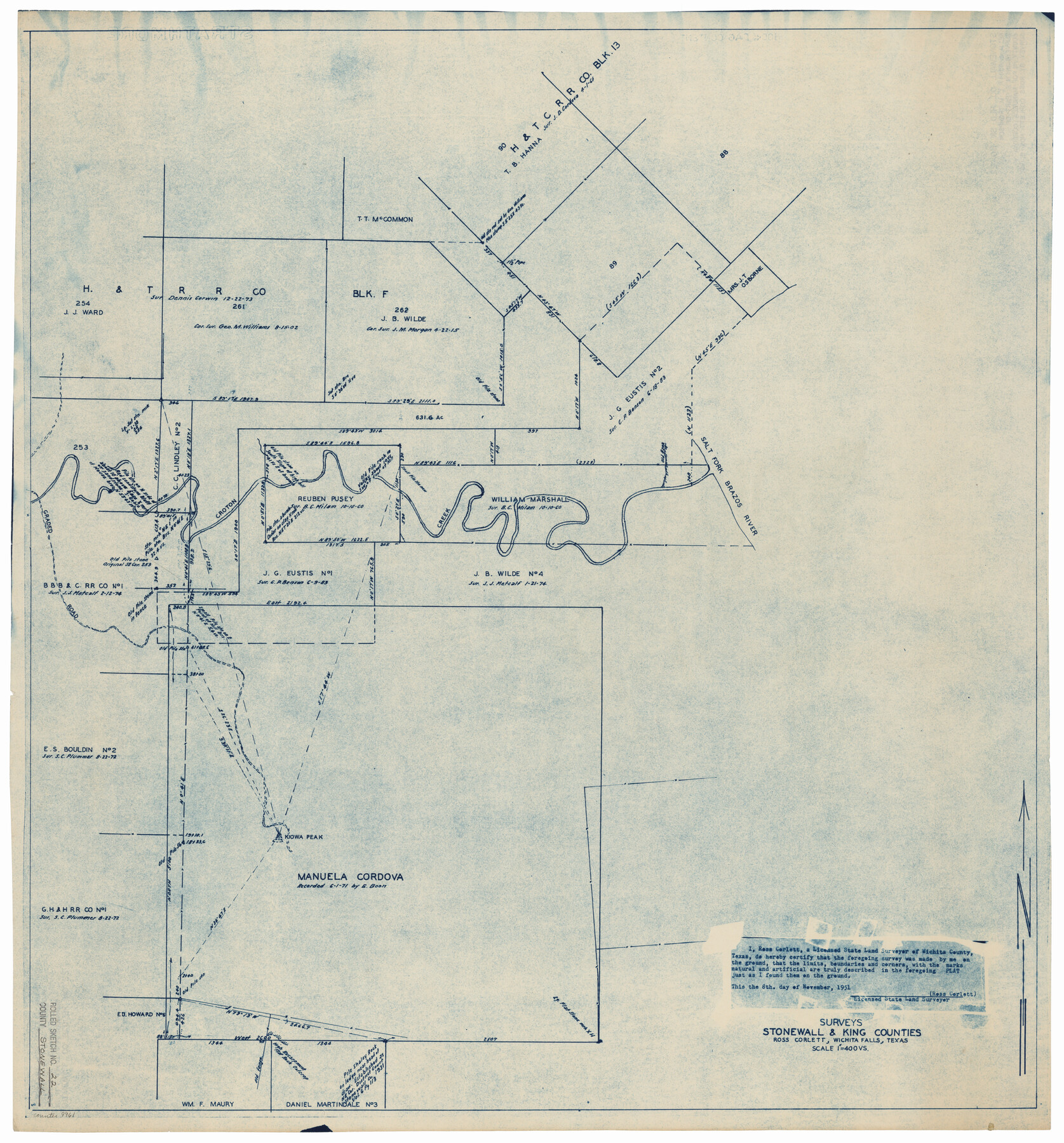
Stonewall County Rolled Sketch 22
Surveys Stonewall & King Counties
-
Map/Doc
9961
-
Collection
General Map Collection
-
Object Dates
1951/11/8 (Creation Date)
1951 (File Date)
-
People and Organizations
Ross Corlett (Surveyor/Engineer)
-
Counties
Stonewall King
-
Subjects
Surveying Rolled Sketch
-
Height x Width
33.2 x 30.9 inches
84.3 x 78.5 cm
-
Medium
blueprint/diazo
-
Scale
1" = 400 varas
Part of: General Map Collection
Uvalde County Working Sketch 21

Print $20.00
- Digital $50.00
Uvalde County Working Sketch 21
1949
Size 21.2 x 18.2 inches
Map/Doc 72091
Williamson County Sketch File 8

Print $4.00
- Digital $50.00
Williamson County Sketch File 8
1847
Size 12.8 x 8.0 inches
Map/Doc 40318
Bexar County Working Sketch 10

Print $20.00
- Digital $50.00
Bexar County Working Sketch 10
1959
Size 22.6 x 34.5 inches
Map/Doc 67326
Moore County Rolled Sketch 12

Print $20.00
- Digital $50.00
Moore County Rolled Sketch 12
Size 24.9 x 22.7 inches
Map/Doc 6828
Map of Irion County

Print $20.00
- Digital $50.00
Map of Irion County
1893
Size 43.6 x 37.3 inches
Map/Doc 16857
Live Oak County Rolled Sketch 4

Print $20.00
- Digital $50.00
Live Oak County Rolled Sketch 4
1946
Size 27.7 x 32.1 inches
Map/Doc 6633
Matagorda County Working Sketch 8

Print $20.00
- Digital $50.00
Matagorda County Working Sketch 8
1953
Size 22.3 x 29.0 inches
Map/Doc 70866
Hamilton County

Print $20.00
- Digital $50.00
Hamilton County
1898
Size 35.3 x 42.5 inches
Map/Doc 66849
Nueces County Rolled Sketch 28

Print $20.00
- Digital $50.00
Nueces County Rolled Sketch 28
Size 16.8 x 25.1 inches
Map/Doc 6874
Flight Mission No. BQR-5K, Frame 75, Brazoria County

Print $20.00
- Digital $50.00
Flight Mission No. BQR-5K, Frame 75, Brazoria County
1952
Size 18.8 x 22.4 inches
Map/Doc 84020
Duval County Working Sketch 8

Print $20.00
- Digital $50.00
Duval County Working Sketch 8
1935
Size 18.6 x 29.2 inches
Map/Doc 68721
Bosque County Sketch File 30a

Print $8.00
- Digital $50.00
Bosque County Sketch File 30a
1854
Size 14.4 x 8.7 inches
Map/Doc 14822
You may also like
Chambers County Working Sketch 7

Print $20.00
- Digital $50.00
Chambers County Working Sketch 7
1939
Size 30.6 x 39.6 inches
Map/Doc 67990
Karnes County Boundary File 2

Print $12.00
- Digital $50.00
Karnes County Boundary File 2
Size 14.1 x 8.7 inches
Map/Doc 55686
Nacogdoches County Working Sketch 8

Print $20.00
- Digital $50.00
Nacogdoches County Working Sketch 8
1964
Size 28.0 x 22.7 inches
Map/Doc 71224
Milam County Boundary File 65

Print $10.00
- Digital $50.00
Milam County Boundary File 65
Size 8.8 x 7.8 inches
Map/Doc 57251
The Republic County of Jefferson. Spring 1842

Print $20.00
The Republic County of Jefferson. Spring 1842
2020
Size 22.6 x 21.7 inches
Map/Doc 96200
Flight Mission No. DCL-7C, Frame 149, Kenedy County

Print $20.00
- Digital $50.00
Flight Mission No. DCL-7C, Frame 149, Kenedy County
1943
Size 18.7 x 22.5 inches
Map/Doc 86106
Flight Mission No. CRC-6R, Frame 35, Chambers County

Print $20.00
- Digital $50.00
Flight Mission No. CRC-6R, Frame 35, Chambers County
1956
Size 18.7 x 22.5 inches
Map/Doc 84968
Cherokee County Working Sketch Graphic Index

Print $40.00
- Digital $50.00
Cherokee County Working Sketch Graphic Index
1933
Size 56.7 x 40.0 inches
Map/Doc 76492
Galveston County Rolled Sketch 23

Print $24.00
- Digital $50.00
Galveston County Rolled Sketch 23
1955
Size 10.0 x 15.2 inches
Map/Doc 45081
Aransas County Sketch File 9

Print $40.00
- Digital $50.00
Aransas County Sketch File 9
Size 17.5 x 19.8 inches
Map/Doc 10819
[Sketch of all of County]
![89972, [Sketch of all of County], Twichell Survey Records](https://historictexasmaps.com/wmedia_w700/maps/89972-1.tif.jpg)
Print $40.00
- Digital $50.00
[Sketch of all of County]
Size 71.0 x 44.3 inches
Map/Doc 89972
Red River County Working Sketch 75

Print $20.00
- Digital $50.00
Red River County Working Sketch 75
1980
Size 30.4 x 24.6 inches
Map/Doc 72058