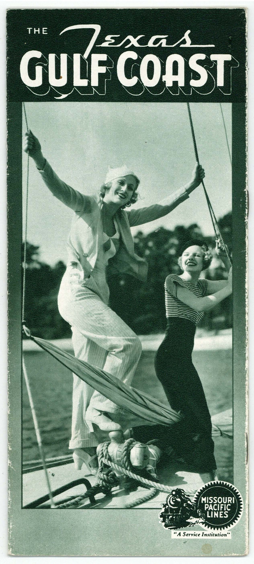
The Texas Gulf Coast
-
Map/Doc
97066
-
Collection
Cobb Digital Map Collection
-
Object Dates
[1940] (Creation Date)
-
People and Organizations
Missouri Pacific Lines (Publisher)
-
Subjects
Coastal Railroads
-
Height x Width
9.4 x 4.2 inches
23.9 x 10.7 cm
-
Medium
booklet
-
Comments
Courtesy of John & Diana Cobb.
Part of: Cobb Digital Map Collection
San Antonio, Texas - The Great Winter Resort of the South

San Antonio, Texas - The Great Winter Resort of the South
1930
Size 6.6 x 3.5 inches
Map/Doc 97046

Points of interest in and around Brownsville

Points of interest in and around Brownsville
1933
Map/Doc 96746
Typical Scenes of Wichita Falls and District

Print $20.00
- Digital $50.00
Typical Scenes of Wichita Falls and District
1927
Size 13.7 x 16.6 inches
Map/Doc 96761
The Wonderful Lower Rio Grande Valley

Print $20.00
- Digital $50.00
The Wonderful Lower Rio Grande Valley
1909
Size 21.6 x 22.9 inches
Map/Doc 95798
New Birmingham, Cherokee County, Texas

Print $20.00
- Digital $50.00
New Birmingham, Cherokee County, Texas
1891
Size 23.1 x 19.2 inches
Map/Doc 96617
A Camera Journey through the Lower Valley of the Rio Grande - the Garden of Golden Grapefruit

A Camera Journey through the Lower Valley of the Rio Grande - the Garden of Golden Grapefruit
1929
Map/Doc 96744
Map showing the route of the Corpus Christi, San Diego & Rio Grande Railroad, and its connections

Print $20.00
- Digital $50.00
Map showing the route of the Corpus Christi, San Diego & Rio Grande Railroad, and its connections
1880
Size 11.9 x 9.1 inches
Map/Doc 96765

Corpus Christi, Where Texas Meets the Sea

Corpus Christi, Where Texas Meets the Sea
1927
Size 9.6 x 4.3 inches
Map/Doc 97064
Laredo Route. Mexican National Railroad - the Shortest Line to Mexico

Print $20.00
- Digital $50.00
Laredo Route. Mexican National Railroad - the Shortest Line to Mexico
1905
Size 11.0 x 8.5 inches
Map/Doc 96589
[Map of Texas]
![96624, [Map of Texas], Cobb Digital Map Collection](https://historictexasmaps.com/wmedia_w700/maps/96624.tif.jpg)
Print $20.00
- Digital $50.00
[Map of Texas]
1869
Size 9.9 x 8.8 inches
Map/Doc 96624
You may also like

Tarrant County Sketch File 16a

Print $10.00
- Digital $50.00
Tarrant County Sketch File 16a
1859
Size 8.4 x 8.2 inches
Map/Doc 37712
Roberts County Working Sketch 2

Print $20.00
- Digital $50.00
Roberts County Working Sketch 2
1939
Size 10.8 x 17.7 inches
Map/Doc 63528
[Atlas E, Table of Contents]
![78357, [Atlas E, Table of Contents], General Map Collection](https://historictexasmaps.com/wmedia_w700/maps/78357.tif.jpg)
Print $3.00
- Digital $50.00
[Atlas E, Table of Contents]
Size 17.8 x 11.0 inches
Map/Doc 78357
Map of Stephens County

Print $20.00
- Digital $50.00
Map of Stephens County
1897
Size 43.2 x 37.6 inches
Map/Doc 16818
Flight Mission No. CGI-3N, Frame 66, Cameron County

Print $20.00
- Digital $50.00
Flight Mission No. CGI-3N, Frame 66, Cameron County
1954
Size 18.6 x 22.1 inches
Map/Doc 84560
La Salle County Rolled Sketch 23

Print $40.00
- Digital $50.00
La Salle County Rolled Sketch 23
1956
Size 34.5 x 48.0 inches
Map/Doc 9559
Flight Mission No. CRC-5R, Frame 23, Chambers County

Print $20.00
- Digital $50.00
Flight Mission No. CRC-5R, Frame 23, Chambers County
1956
Size 18.8 x 22.4 inches
Map/Doc 84945
[Rusk, Sutton, and Atascosa County School Lands]
![91124, [Rusk, Sutton, and Atascosa County School Lands], Twichell Survey Records](https://historictexasmaps.com/wmedia_w700/maps/91124-1.tif.jpg)
Print $2.00
- Digital $50.00
[Rusk, Sutton, and Atascosa County School Lands]
Size 6.0 x 7.1 inches
Map/Doc 91124
Flight Mission No. CGI-2N, Frame 179, Cameron County

Print $20.00
- Digital $50.00
Flight Mission No. CGI-2N, Frame 179, Cameron County
1954
Size 18.5 x 22.2 inches
Map/Doc 84539
Hutchinson County Working Sketch 8

Print $20.00
- Digital $50.00
Hutchinson County Working Sketch 8
1919
Size 24.8 x 16.7 inches
Map/Doc 66366
Clay County Sketch File 45

Print $20.00
- Digital $50.00
Clay County Sketch File 45
Size 23.5 x 35.4 inches
Map/Doc 11097