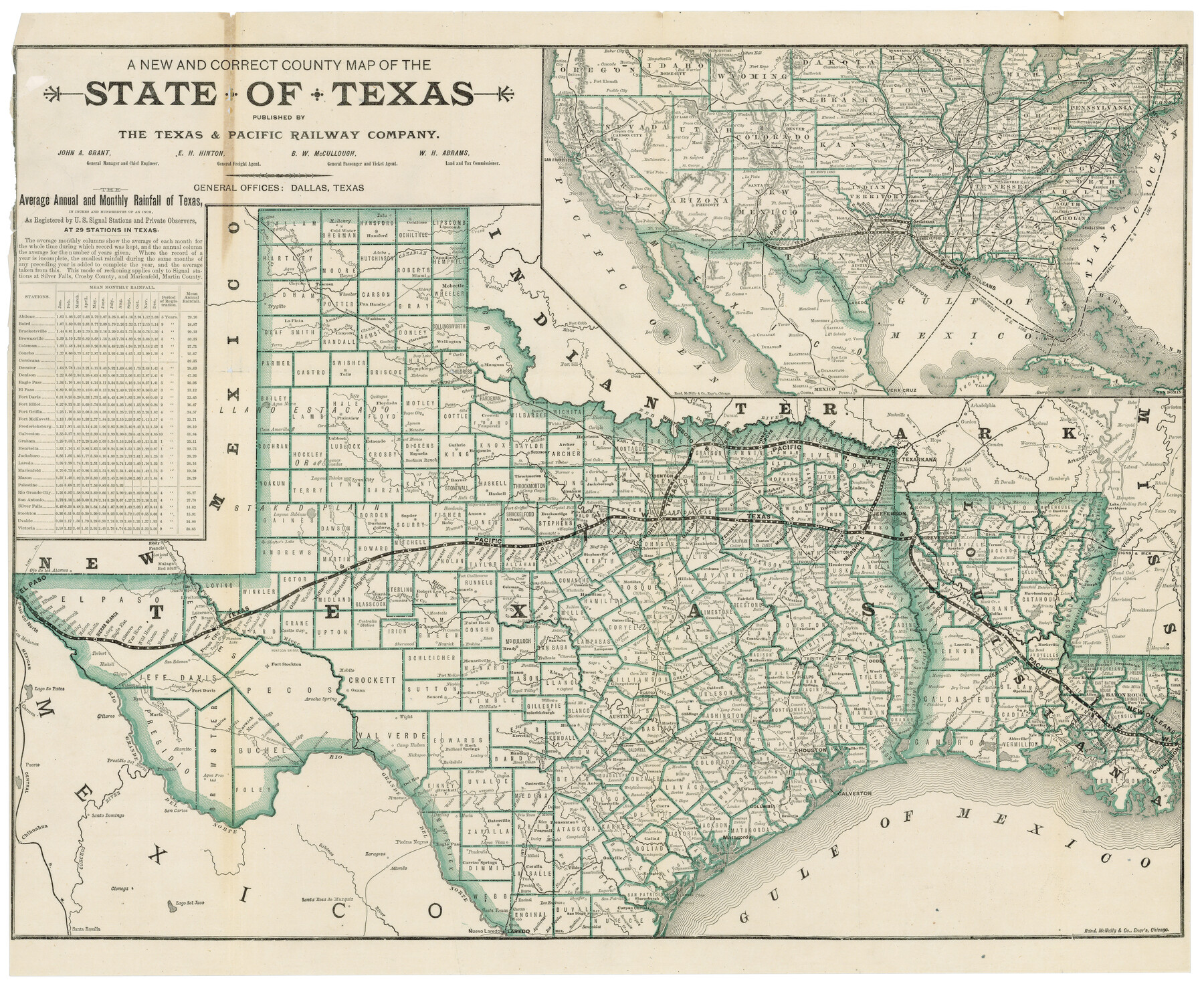
A New and Correct County Map of the State of Texas
-
Map/Doc
95760
-
Collection
Cobb Digital Map Collection
-
Object Dates
[1891 ca.] (Creation Date)
-
People and Organizations
The Texas & Pacific Railway Company (Publisher)
Rand, McNally & Co. (Printer)
-
Subjects
Railroads State of Texas Texas and Pacific Railroad
-
Height x Width
22.4 x 27.3 inches
56.9 x 69.3 cm
-
Medium
digital image
-
Comments
Courtesy of John & Diana Cobb.
Part of: Cobb Digital Map Collection
Map of the Missouri Pacific and St. Louis, Iron Mountain and Southern Railways and Connections

Print $20.00
- Digital $50.00
Map of the Missouri Pacific and St. Louis, Iron Mountain and Southern Railways and Connections
1893
Size 17.7 x 31.6 inches
Map/Doc 95789
Map of the Missouri Pacific and St. Louis, Iron Mountain and Southern Railways and Connections

Print $20.00
- Digital $50.00
Map of the Missouri Pacific and St. Louis, Iron Mountain and Southern Railways and Connections
1898
Size 17.7 x 32.1 inches
Map/Doc 95791
Map of the Texas & Pacific Railway and connections

Print $20.00
- Digital $50.00
Map of the Texas & Pacific Railway and connections
1899
Size 17.8 x 36.3 inches
Map/Doc 95766
The MKT - Texas Empire of the South

Print $20.00
- Digital $50.00
The MKT - Texas Empire of the South
1905
Size 18.5 x 40.6 inches
Map/Doc 97035
The Brownsville District of the Famous Lower Rio Grande Valley - The Texas Tropics

The Brownsville District of the Famous Lower Rio Grande Valley - The Texas Tropics
1920
Map/Doc 96732
The Sunshine Special - Quickest of 'em all - Hosuton to St. Louis leaves Houston 12:45 p.m. San Antonio 9 a.m.

Print $20.00
- Digital $50.00
The Sunshine Special - Quickest of 'em all - Hosuton to St. Louis leaves Houston 12:45 p.m. San Antonio 9 a.m.
1925
Size 9.0 x 7.7 inches
Map/Doc 95780
[Map of Texas]
![96624, [Map of Texas], Cobb Digital Map Collection](https://historictexasmaps.com/wmedia_w700/maps/96624.tif.jpg)
Print $20.00
- Digital $50.00
[Map of Texas]
1869
Size 9.9 x 8.8 inches
Map/Doc 96624
[Map 1:] A Geographically Correct County Map of States Traversed by the St. Louis, Iron Mountain and Southern Railway and its connections / [Map 2:] Map of the St. Louis, Iron Mountain and Southern Railway, and connections
![95784, [Map 1:] A Geographically Correct County Map of States Traversed by the St. Louis, Iron Mountain and Southern Railway and its connections / [Map 2:] Map of the St. Louis, Iron Mountain and Southern Railway, and connections, Cobb Digital Map Collection - 1](https://historictexasmaps.com/wmedia_w700/maps/95784.tif.jpg)
Print $20.00
- Digital $50.00
[Map 1:] A Geographically Correct County Map of States Traversed by the St. Louis, Iron Mountain and Southern Railway and its connections / [Map 2:] Map of the St. Louis, Iron Mountain and Southern Railway, and connections
1878
Size 18.9 x 32.2 inches
Map/Doc 95784

A Geographically Correct County Map of States Traversed by the St. Louis, Iron Mountain & Southern Railway and its Connections

Print $20.00
- Digital $50.00
A Geographically Correct County Map of States Traversed by the St. Louis, Iron Mountain & Southern Railway and its Connections
1876
Size 18.6 x 15.9 inches
Map/Doc 95781
Sectional map of Texas traversed by the Missouri, Kansas & Texas Railway, showing the crops adapted to each section, with the elevation and annual rainfall

Print $20.00
- Digital $50.00
Sectional map of Texas traversed by the Missouri, Kansas & Texas Railway, showing the crops adapted to each section, with the elevation and annual rainfall
1908
Size 21.8 x 22.8 inches
Map/Doc 95817
Map showing those portions of Texas traversed by Rock Island Lines and connections

Print $20.00
- Digital $50.00
Map showing those portions of Texas traversed by Rock Island Lines and connections
1904
Size 15.6 x 12.2 inches
Map/Doc 96588
You may also like
Webb County Working Sketch 64

Print $20.00
- Digital $50.00
Webb County Working Sketch 64
1962
Size 12.8 x 26.1 inches
Map/Doc 72430
Tom Green County Rolled Sketch 17

Print $40.00
- Digital $50.00
Tom Green County Rolled Sketch 17
Size 49.2 x 37.8 inches
Map/Doc 10005
Edwards County Working Sketch 129

Print $20.00
- Digital $50.00
Edwards County Working Sketch 129
1981
Size 33.6 x 41.3 inches
Map/Doc 69005
Map of east part of West Bay & SW part of Galveston Bay, Galveston County showing subdivision for mineral development

Print $40.00
- Digital $50.00
Map of east part of West Bay & SW part of Galveston Bay, Galveston County showing subdivision for mineral development
1963
Size 42.0 x 59.6 inches
Map/Doc 3069
General Highway Map, McMullen County, Texas

Print $20.00
General Highway Map, McMullen County, Texas
1961
Size 24.7 x 18.3 inches
Map/Doc 79592
Dickens County Working Sketch 5

Print $20.00
- Digital $50.00
Dickens County Working Sketch 5
1914
Size 30.6 x 20.8 inches
Map/Doc 68652
Map No. 1 - Rio Bravo del Norte section of boundary between the United States & Mexico agreed upon by the Joint Commission under the Treaty of Guadalupe Hidalgo

Print $20.00
- Digital $50.00
Map No. 1 - Rio Bravo del Norte section of boundary between the United States & Mexico agreed upon by the Joint Commission under the Treaty of Guadalupe Hidalgo
1852
Size 18.2 x 27.2 inches
Map/Doc 72865
Flight Mission No. DQO-2K, Frame 160, Galveston County

Print $20.00
- Digital $50.00
Flight Mission No. DQO-2K, Frame 160, Galveston County
1952
Size 18.7 x 22.4 inches
Map/Doc 85049
Hidalgo County Working Sketch 2

Print $20.00
- Digital $50.00
Hidalgo County Working Sketch 2
1906
Size 22.0 x 28.0 inches
Map/Doc 66179

General Highway Map. Detail of Cities and Towns in Webb County, Texas [Laredo and vicinity]
![79705, General Highway Map. Detail of Cities and Towns in Webb County, Texas [Laredo and vicinity], Texas State Library and Archives](https://historictexasmaps.com/wmedia_w700/maps/79705.tif.jpg)
Print $20.00
General Highway Map. Detail of Cities and Towns in Webb County, Texas [Laredo and vicinity]
1961
Size 24.8 x 18.1 inches
Map/Doc 79705
Americae nova Tabula

Print $20.00
- Digital $50.00
Americae nova Tabula
1617
Size 16.0 x 21.5 inches
Map/Doc 93813