[Sections 15, 16, 17, 18, Block B]
-
Map/Doc
92798
-
Collection
Twichell Survey Records
-
People and Organizations
Sylvan Sanders (Surveyor/Engineer)
-
Counties
Lubbock
-
Height x Width
40.0 x 10.5 inches
101.6 x 26.7 cm
Part of: Twichell Survey Records
Map Showing Blocks 15, 16 & 18 S.P.R.R.Co.


Print $20.00
- Digital $50.00
Map Showing Blocks 15, 16 & 18 S.P.R.R.Co.
1933
Size 24.7 x 19.1 inches
Map/Doc 92282
[USGS Topo Quad map of Shafter Sheet, Presidio County]
![91754, [USGS Topo Quad map of Shafter Sheet, Presidio County], Twichell Survey Records](https://historictexasmaps.com/wmedia_w700/maps/91754-1.tif.jpg)
![91754, [USGS Topo Quad map of Shafter Sheet, Presidio County], Twichell Survey Records](https://historictexasmaps.com/wmedia_w700/maps/91754-1.tif.jpg)
Print $20.00
- Digital $50.00
[USGS Topo Quad map of Shafter Sheet, Presidio County]
1895
Size 16.9 x 20.5 inches
Map/Doc 91754
[Gulf, Colorado & Santa Fe Railroad Company Block G & M]
![90837, [Gulf, Colorado & Santa Fe Railroad Company Block G & M], Twichell Survey Records](https://historictexasmaps.com/wmedia_w700/maps/90837-2.tif.jpg)
![90837, [Gulf, Colorado & Santa Fe Railroad Company Block G & M], Twichell Survey Records](https://historictexasmaps.com/wmedia_w700/maps/90837-2.tif.jpg)
Print $20.00
- Digital $50.00
[Gulf, Colorado & Santa Fe Railroad Company Block G & M]
Size 18.6 x 9.2 inches
Map/Doc 90837
[Sketch of part of G. & M. Block 5]
![93073, [Sketch of part of G. & M. Block 5], Twichell Survey Records](https://historictexasmaps.com/wmedia_w700/maps/93073-1.tif.jpg)
![93073, [Sketch of part of G. & M. Block 5], Twichell Survey Records](https://historictexasmaps.com/wmedia_w700/maps/93073-1.tif.jpg)
Print $2.00
- Digital $50.00
[Sketch of part of G. & M. Block 5]
Size 6.7 x 8.7 inches
Map/Doc 93073
Survey of Improvements on Meeks Gin Site Town of Ropes Hockley County, Texas


Print $20.00
- Digital $50.00
Survey of Improvements on Meeks Gin Site Town of Ropes Hockley County, Texas
1957
Size 13.0 x 17.6 inches
Map/Doc 92214
[Blocks D3 and GP]
![91505, [Blocks D3 and GP], Twichell Survey Records](https://historictexasmaps.com/wmedia_w700/maps/91505-1.tif.jpg)
![91505, [Blocks D3 and GP], Twichell Survey Records](https://historictexasmaps.com/wmedia_w700/maps/91505-1.tif.jpg)
Print $20.00
- Digital $50.00
[Blocks D3 and GP]
Size 18.9 x 20.2 inches
Map/Doc 91505
[East Portion of Lea County] / [Central part of San Miguel County, New Mexico]
![92033, [East Portion of Lea County] / [Central part of San Miguel County, New Mexico], Twichell Survey Records](https://historictexasmaps.com/wmedia_w700/maps/92033-1.tif.jpg)
![92033, [East Portion of Lea County] / [Central part of San Miguel County, New Mexico], Twichell Survey Records](https://historictexasmaps.com/wmedia_w700/maps/92033-1.tif.jpg)
Print $20.00
- Digital $50.00
[East Portion of Lea County] / [Central part of San Miguel County, New Mexico]
Size 26.9 x 13.9 inches
Map/Doc 92033
Farmer Subdivision of Wm. Baker Survey


Print $20.00
- Digital $50.00
Farmer Subdivision of Wm. Baker Survey
Size 16.1 x 15.5 inches
Map/Doc 90122
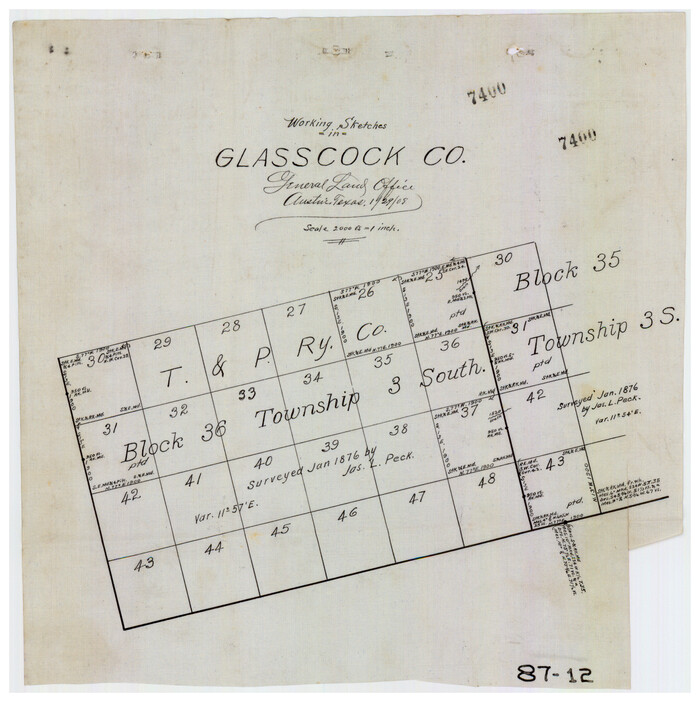
Working Sketch in Glasscock County

Print $3.00
- Digital $50.00
Working Sketch in Glasscock County
Size 9.8 x 9.8 inches
Map/Doc 90750
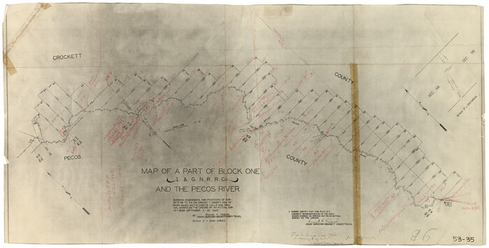
Map of a part of Block One, I. & G. N. RR. Co. and the Pecos River

Print $20.00
- Digital $50.00
Map of a part of Block One, I. & G. N. RR. Co. and the Pecos River
1927
Size 34.2 x 17.4 inches
Map/Doc 90320
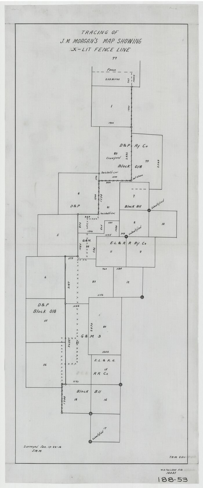
Tracing of J. M. Morgan's Map Showing X-LIT Fence Line

Print $20.00
- Digital $50.00
Tracing of J. M. Morgan's Map Showing X-LIT Fence Line
1916
Size 9.5 x 22.7 inches
Map/Doc 91809
[Additions Surrounding Fort Worth & Denver Railroad Fork]
![92840, [Additions Surrounding Fort Worth & Denver Railroad Fork], Twichell Survey Records](https://historictexasmaps.com/wmedia_w700/maps/92840-1.tif.jpg)
![92840, [Additions Surrounding Fort Worth & Denver Railroad Fork], Twichell Survey Records](https://historictexasmaps.com/wmedia_w700/maps/92840-1.tif.jpg)
Print $20.00
- Digital $50.00
[Additions Surrounding Fort Worth & Denver Railroad Fork]
Size 32.2 x 32.1 inches
Map/Doc 92840
You may also like
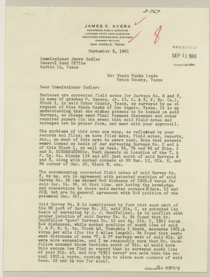
Upton County Sketch File 40

Print $6.00
- Digital $50.00
Upton County Sketch File 40
1961
Size 11.5 x 8.7 inches
Map/Doc 38914
Mills County Boundary File 11
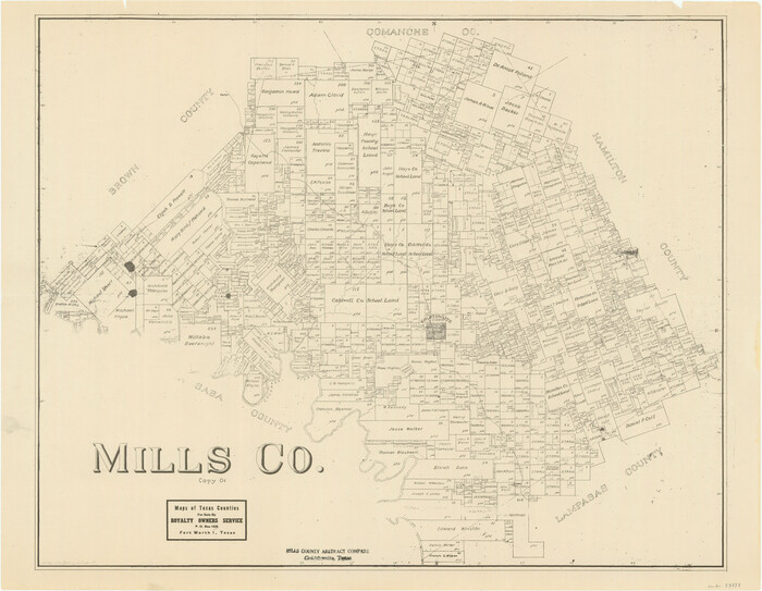

Print $20.00
- Digital $50.00
Mills County Boundary File 11
Size 17.2 x 22.1 inches
Map/Doc 57333
Revised map of Matagorda Bay and vicinity in Matagorda and Calhoun Counties showing subdivision for mineral development
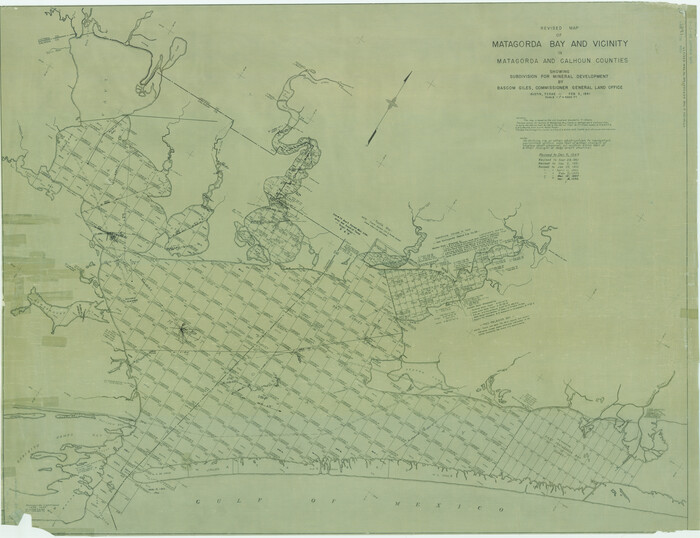

Print $40.00
- Digital $50.00
Revised map of Matagorda Bay and vicinity in Matagorda and Calhoun Counties showing subdivision for mineral development
1941
Size 43.4 x 56.6 inches
Map/Doc 3098
Pecos County Sketch File 28a


Print $20.00
- Digital $50.00
Pecos County Sketch File 28a
Size 24.3 x 26.6 inches
Map/Doc 12169
Atascosa County Working Sketch 28
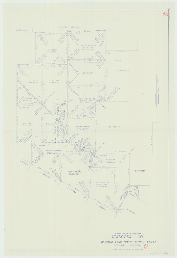

Print $20.00
- Digital $50.00
Atascosa County Working Sketch 28
1968
Size 38.5 x 26.3 inches
Map/Doc 67224
Bandera County Sketch File 33
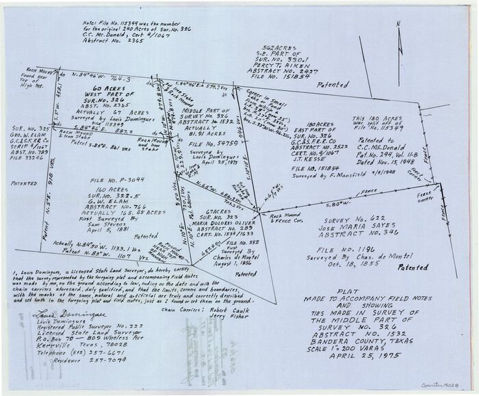

Print $40.00
- Digital $50.00
Bandera County Sketch File 33
1975
Size 14.4 x 17.5 inches
Map/Doc 14028
Stephens County Working Sketch 31
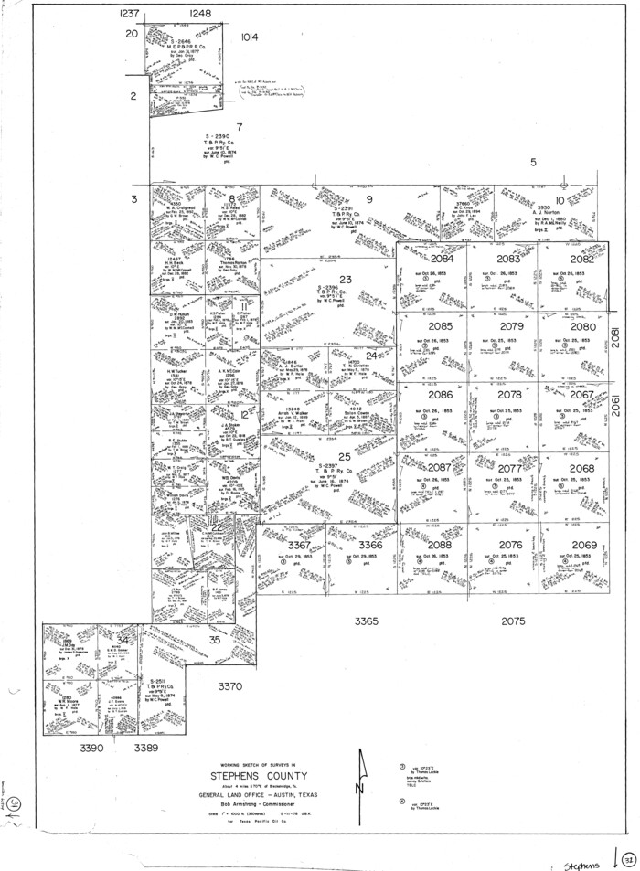

Print $20.00
- Digital $50.00
Stephens County Working Sketch 31
1978
Size 41.9 x 30.8 inches
Map/Doc 63974
Motley County Sketch File 13 (N)
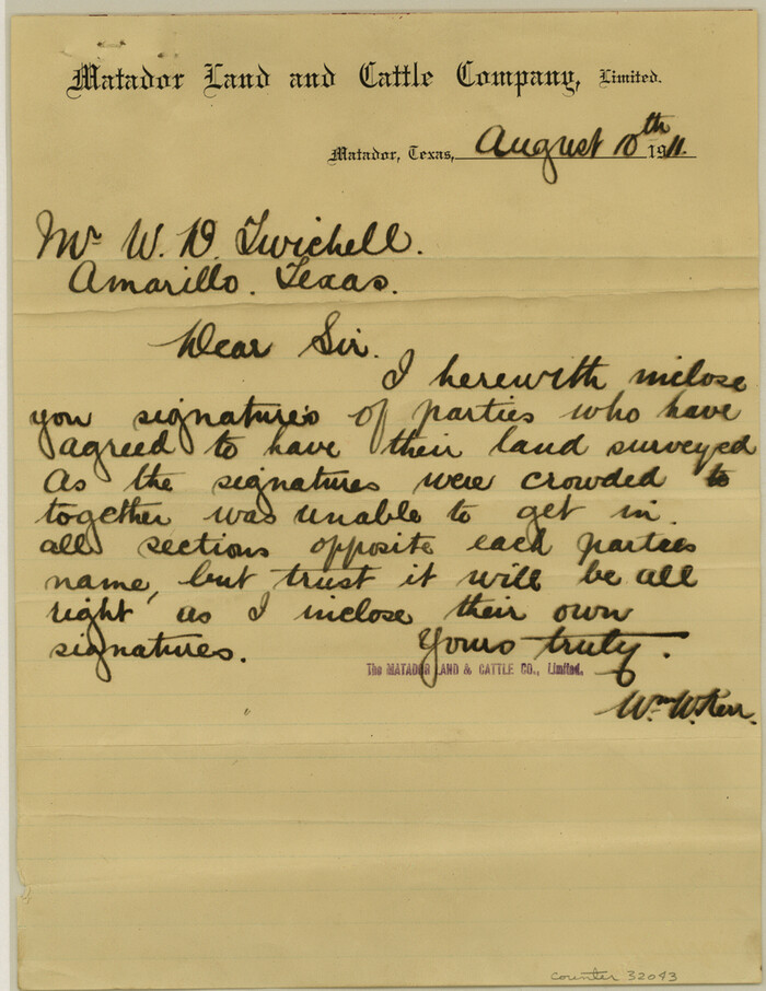

Print $10.00
- Digital $50.00
Motley County Sketch File 13 (N)
1911
Size 11.1 x 8.6 inches
Map/Doc 32043
Flight Mission No. BRA-17M, Frame 7, Jefferson County
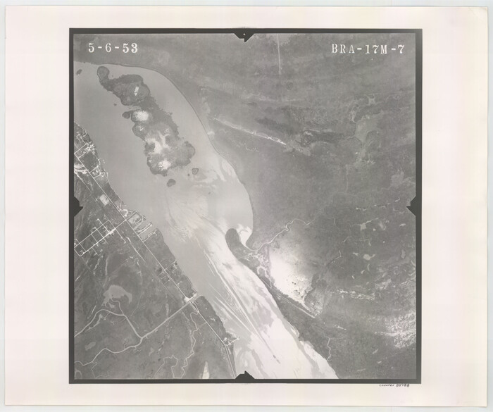

Print $20.00
- Digital $50.00
Flight Mission No. BRA-17M, Frame 7, Jefferson County
1953
Size 18.7 x 22.3 inches
Map/Doc 85788
Cottle County Working Sketch 20
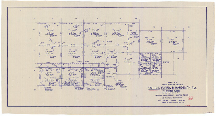

Print $20.00
- Digital $50.00
Cottle County Working Sketch 20
1982
Size 19.9 x 37.0 inches
Map/Doc 68330
Pecos County Rolled Sketch 93


Print $40.00
- Digital $50.00
Pecos County Rolled Sketch 93
Size 50.3 x 42.8 inches
Map/Doc 9711
Wilbarger County Working Sketch 17


Print $20.00
- Digital $50.00
Wilbarger County Working Sketch 17
1957
Size 7.5 x 18.4 inches
Map/Doc 72555
![92798, [Sections 15, 16, 17, 18, Block B], Twichell Survey Records](https://historictexasmaps.com/wmedia_w1800h1800/maps/92798-1.tif.jpg)