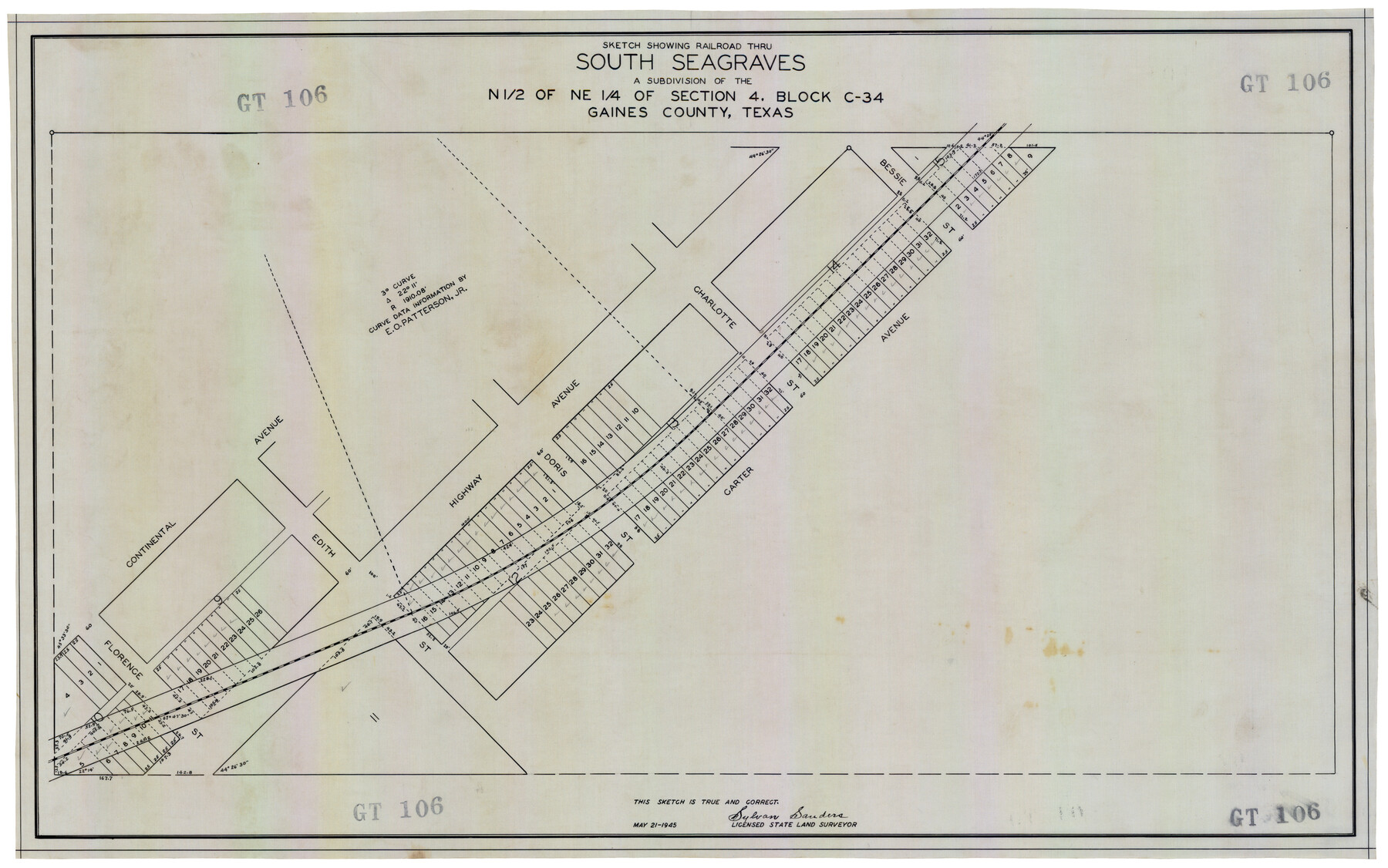
Sketch Showing Railroad through South Seagraves
GT106
-
Map/Doc
92686
-
Collection
Twichell Survey Records
-
Object Dates
5/21/1945 (Creation Date)
-
People and Organizations
Sylvan Sanders (Surveyor/Engineer)
-
Counties
Gaines
-
Height x Width
29.1 x 18.4 inches
73.9 x 46.7 cm
Part of: Twichell Survey Records

Oldham County

Print $20.00
- Digital $50.00
Oldham County
1888
Size 19.8 x 16.5 inches
Map/Doc 93019
[Portions of Blocks T1, B, and T]
![90950, [Portions of Blocks T1, B, and T], Twichell Survey Records](https://historictexasmaps.com/wmedia_w700/maps/90950-1.tif.jpg)
Print $2.00
- Digital $50.00
[Portions of Blocks T1, B, and T]
1910
Size 13.8 x 4.3 inches
Map/Doc 90950
[Capitol Leagues 217-228, 238, and vicinity]
![90693, [Capitol Leagues 217-228, 238, and vicinity], Twichell Survey Records](https://historictexasmaps.com/wmedia_w700/maps/90693-1.tif.jpg)
Print $20.00
- Digital $50.00
[Capitol Leagues 217-228, 238, and vicinity]
Size 24.7 x 10.6 inches
Map/Doc 90693
[Surveys along the Red River and Capitol Lands]
![90738, [Surveys along the Red River and Capitol Lands], Twichell Survey Records](https://historictexasmaps.com/wmedia_w700/maps/90738-1.tif.jpg)
Print $20.00
- Digital $50.00
[Surveys along the Red River and Capitol Lands]
Size 24.8 x 39.7 inches
Map/Doc 90738
[John S. Stephens Blk. S2, Lgs. 174-177, 186-193, 201-209]
![89984, [John S. Stephens Blk. S2, Lgs. 174-177, 186-193, 201-209], Twichell Survey Records](https://historictexasmaps.com/wmedia_w700/maps/89984-1.tif.jpg)
Print $2.00
- Digital $50.00
[John S. Stephens Blk. S2, Lgs. 174-177, 186-193, 201-209]
1912
Size 11.4 x 8.8 inches
Map/Doc 89984
[In Northwest 1/4 of County in the vicinity of the John Walker Survey]
![90898, [In Northwest 1/4 of County in the vicinity of the John Walker Survey], Twichell Survey Records](https://historictexasmaps.com/wmedia_w700/maps/90898-1.tif.jpg)
Print $20.00
- Digital $50.00
[In Northwest 1/4 of County in the vicinity of the John Walker Survey]
Size 14.4 x 24.3 inches
Map/Doc 90898
[Sections 58-70, I. & G. N. Block 1, Runnels County School Land and part of Block 194]
![91632, [Sections 58-70, I. & G. N. Block 1, Runnels County School Land and part of Block 194], Twichell Survey Records](https://historictexasmaps.com/wmedia_w700/maps/91632-1.tif.jpg)
Print $20.00
- Digital $50.00
[Sections 58-70, I. & G. N. Block 1, Runnels County School Land and part of Block 194]
Size 23.9 x 20.9 inches
Map/Doc 91632
Kaufman County, 1887

Print $20.00
- Digital $50.00
Kaufman County, 1887
1887
Size 42.6 x 46.1 inches
Map/Doc 89701
[John S. Stephens Blk. S2, Lgs. 174-177, 186-193, 201-209]
![90104, [John S. Stephens Blk. S2, Lgs. 174-177, 186-193, 201-209], Twichell Survey Records](https://historictexasmaps.com/wmedia_w700/maps/90104-1.tif.jpg)
Print $2.00
- Digital $50.00
[John S. Stephens Blk. S2, Lgs. 174-177, 186-193, 201-209]
1912
Size 11.3 x 8.8 inches
Map/Doc 90104
[Sketch showing H. T. & B. RR. Co. Sections 125 and 126, B. H. Epperson, Mary Fury, Henry Rogers and Wm. H. Sergeant]
![90882, [Sketch showing H. T. & B. RR. Co. Sections 125 and 126, B. H. Epperson, Mary Fury, Henry Rogers and Wm. H. Sergeant], Twichell Survey Records](https://historictexasmaps.com/wmedia_w700/maps/90882-1.tif.jpg)
Print $20.00
- Digital $50.00
[Sketch showing H. T. & B. RR. Co. Sections 125 and 126, B. H. Epperson, Mary Fury, Henry Rogers and Wm. H. Sergeant]
Size 14.5 x 19.4 inches
Map/Doc 90882
Sketch Portion of Lamb County, Texas

Print $20.00
- Digital $50.00
Sketch Portion of Lamb County, Texas
1924
Size 19.9 x 21.4 inches
Map/Doc 92176
You may also like
Coleman County Working Sketch 11

Print $20.00
- Digital $50.00
Coleman County Working Sketch 11
1950
Size 24.2 x 18.2 inches
Map/Doc 68077
Jeff Davis County Working Sketch 33

Print $40.00
- Digital $50.00
Jeff Davis County Working Sketch 33
1977
Size 28.8 x 48.3 inches
Map/Doc 66528
Colorado River, Hungerford Sheet

Print $6.00
- Digital $50.00
Colorado River, Hungerford Sheet
1941
Size 24.1 x 35.4 inches
Map/Doc 65309
Duval County Working Sketch 39

Print $20.00
- Digital $50.00
Duval County Working Sketch 39
1960
Size 27.1 x 28.9 inches
Map/Doc 68763
Dimmit County Sketch File 11a

Print $20.00
- Digital $50.00
Dimmit County Sketch File 11a
1880
Size 12.9 x 18.7 inches
Map/Doc 11339
Kinney County Sketch File 35

Print $6.00
- Digital $50.00
Kinney County Sketch File 35
1944
Size 14.2 x 8.7 inches
Map/Doc 29185
Fisher County Sketch File 6

Print $6.00
- Digital $50.00
Fisher County Sketch File 6
Size 9.7 x 15.9 inches
Map/Doc 22563
Caddo Lake and Subdivision

Print $20.00
- Digital $50.00
Caddo Lake and Subdivision
1918
Size 35.0 x 29.8 inches
Map/Doc 93283
Jim Wells County Working Sketch 5

Print $20.00
- Digital $50.00
Jim Wells County Working Sketch 5
1942
Size 44.3 x 42.9 inches
Map/Doc 66603

Lampasas County Working Sketch 21

Print $20.00
- Digital $50.00
Lampasas County Working Sketch 21
1988
Size 15.2 x 26.7 inches
Map/Doc 70299
Flight Mission No. DQN-2K, Frame 163, Calhoun County

Print $20.00
- Digital $50.00
Flight Mission No. DQN-2K, Frame 163, Calhoun County
1953
Size 18.5 x 22.2 inches
Map/Doc 84325