[Topographical Map]
BT111
-
Map/Doc
92543
-
Collection
Twichell Survey Records
-
Counties
Bailey
-
Subjects
Topographic
-
Height x Width
31.2 x 37.5 inches
79.3 x 95.3 cm
Part of: Twichell Survey Records
[Blocks M8, M9, M11, W1, RC and A. & B. Block A]
![91931, [Blocks M8, M9, M11, W1, RC and A. & B. Block A], Twichell Survey Records](https://historictexasmaps.com/wmedia_w700/maps/91931-1.tif.jpg)
![91931, [Blocks M8, M9, M11, W1, RC and A. & B. Block A], Twichell Survey Records](https://historictexasmaps.com/wmedia_w700/maps/91931-1.tif.jpg)
Print $20.00
- Digital $50.00
[Blocks M8, M9, M11, W1, RC and A. & B. Block A]
Size 32.0 x 25.2 inches
Map/Doc 91931
[Hall, Luce, Aimaguie, and surrounding surveys]
![91191, [Hall, Luce, Aimaguie, and surrounding surveys], Twichell Survey Records](https://historictexasmaps.com/wmedia_w700/maps/91191-1.tif.jpg)
![91191, [Hall, Luce, Aimaguie, and surrounding surveys], Twichell Survey Records](https://historictexasmaps.com/wmedia_w700/maps/91191-1.tif.jpg)
Print $20.00
- Digital $50.00
[Hall, Luce, Aimaguie, and surrounding surveys]
Size 21.0 x 29.1 inches
Map/Doc 91191
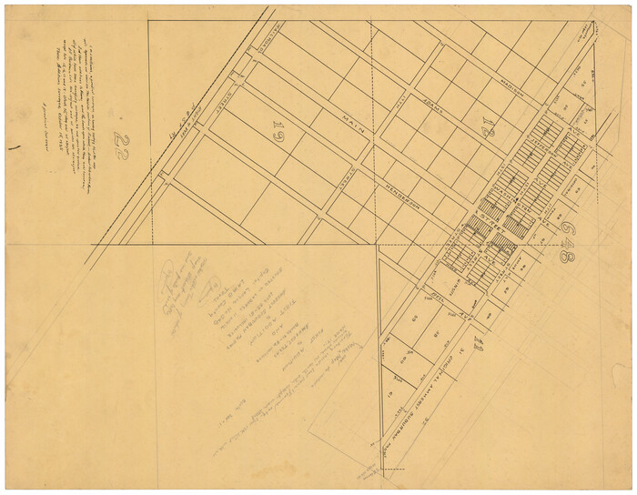
First Addition to Amherst Suburban Farms

Print $20.00
- Digital $50.00
First Addition to Amherst Suburban Farms
Size 26.5 x 20.6 inches
Map/Doc 92430
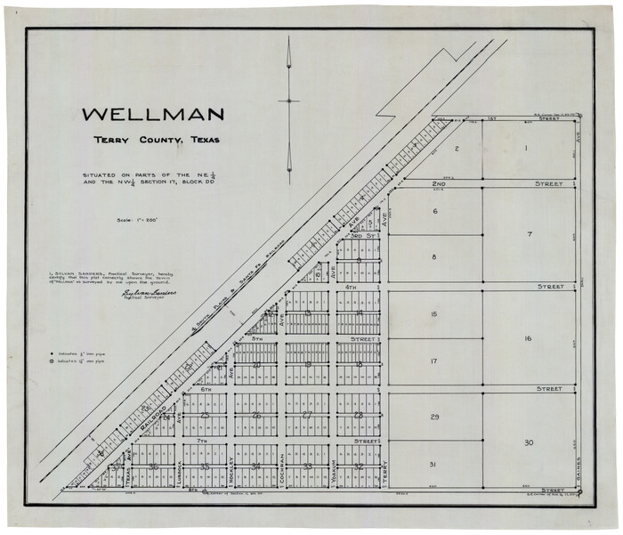
Wellman Situated on Parts of the Northeast 1/4 and Northwest 1/4 Section 17, Block DD

Print $20.00
- Digital $50.00
Wellman Situated on Parts of the Northeast 1/4 and Northwest 1/4 Section 17, Block DD
Size 22.2 x 18.9 inches
Map/Doc 92930
[Blocks G, H, and M, North of the North boundary line of the T. &. O. Reservation]
![90809, [Blocks G, H, and M, North of the North boundary line of the T. &. O. Reservation], Twichell Survey Records](https://historictexasmaps.com/wmedia_w700/maps/90809-2.tif.jpg)
![90809, [Blocks G, H, and M, North of the North boundary line of the T. &. O. Reservation], Twichell Survey Records](https://historictexasmaps.com/wmedia_w700/maps/90809-2.tif.jpg)
Print $20.00
- Digital $50.00
[Blocks G, H, and M, North of the North boundary line of the T. &. O. Reservation]
1880
Size 21.7 x 17.8 inches
Map/Doc 90809
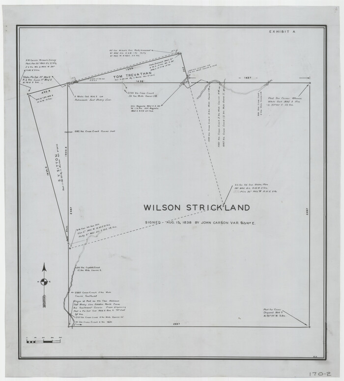
Wilson Strickland Survey, Exhibit A

Print $20.00
- Digital $50.00
Wilson Strickland Survey, Exhibit A
Size 20.8 x 23.0 inches
Map/Doc 91368
[Lgs. 110-112, 678-680 with ties to County Line]
![90157, [Lgs. 110-112, 678-680 with ties to County Line], Twichell Survey Records](https://historictexasmaps.com/wmedia_w700/maps/90157-1.tif.jpg)
![90157, [Lgs. 110-112, 678-680 with ties to County Line], Twichell Survey Records](https://historictexasmaps.com/wmedia_w700/maps/90157-1.tif.jpg)
Print $20.00
- Digital $50.00
[Lgs. 110-112, 678-680 with ties to County Line]
Size 37.7 x 22.9 inches
Map/Doc 90157
[Southeast part of Stephens County]
![91844, [Southeast part of Stephens County], Twichell Survey Records](https://historictexasmaps.com/wmedia_w700/maps/91844-1.tif.jpg)
![91844, [Southeast part of Stephens County], Twichell Survey Records](https://historictexasmaps.com/wmedia_w700/maps/91844-1.tif.jpg)
Print $20.00
- Digital $50.00
[Southeast part of Stephens County]
Size 37.2 x 32.7 inches
Map/Doc 91844
[R. M. Thompson Block T2 and John H. Stephens Block S2 Conflict]
![91056, [R. M. Thompson Block T2 and John H. Stephens Block S2 Conflict], Twichell Survey Records](https://historictexasmaps.com/wmedia_w700/maps/91056-1.tif.jpg)
![91056, [R. M. Thompson Block T2 and John H. Stephens Block S2 Conflict], Twichell Survey Records](https://historictexasmaps.com/wmedia_w700/maps/91056-1.tif.jpg)
Print $20.00
- Digital $50.00
[R. M. Thompson Block T2 and John H. Stephens Block S2 Conflict]
Size 20.9 x 30.6 inches
Map/Doc 91056
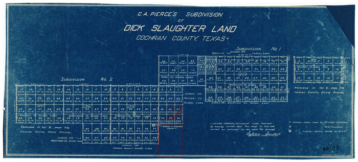
C. A. Pierce's Subdivision of Dick Slaughter Land

Print $20.00
- Digital $50.00
C. A. Pierce's Subdivision of Dick Slaughter Land
1924
Size 19.0 x 8.6 inches
Map/Doc 90290
[PSL Block B-19]
![93127, [PSL Block B-19], Twichell Survey Records](https://historictexasmaps.com/wmedia_w700/maps/93127-1.tif.jpg)
![93127, [PSL Block B-19], Twichell Survey Records](https://historictexasmaps.com/wmedia_w700/maps/93127-1.tif.jpg)
Print $40.00
- Digital $50.00
[PSL Block B-19]
Size 49.1 x 45.5 inches
Map/Doc 93127
Rhyne Simpson Addition City of Lubbock Section 3, Block O


Print $20.00
- Digital $50.00
Rhyne Simpson Addition City of Lubbock Section 3, Block O
1951
Size 18.2 x 23.4 inches
Map/Doc 92845
You may also like
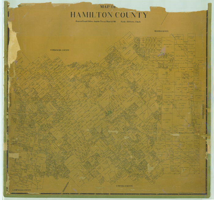
Map of Hamilton County

Print $20.00
- Digital $50.00
Map of Hamilton County
1916
Size 38.3 x 40.9 inches
Map/Doc 4695
Flight Mission No. CRK-8P, Frame 123, Refugio County

Print $20.00
- Digital $50.00
Flight Mission No. CRK-8P, Frame 123, Refugio County
1956
Size 18.4 x 22.1 inches
Map/Doc 86978
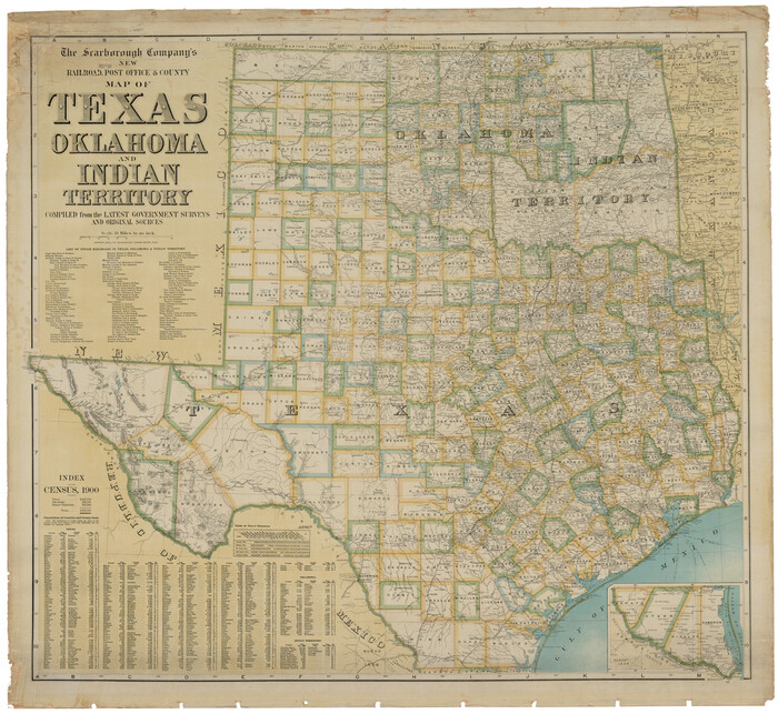
The Scarborough Company's New Railroad, Post Office & County Map of Texas, Oklahoma and Indian Territory Compiled from the Latest Government Surveys and Original Sources

Print $20.00
- Digital $50.00
The Scarborough Company's New Railroad, Post Office & County Map of Texas, Oklahoma and Indian Territory Compiled from the Latest Government Surveys and Original Sources
1904
Size 42.8 x 46.6 inches
Map/Doc 93911
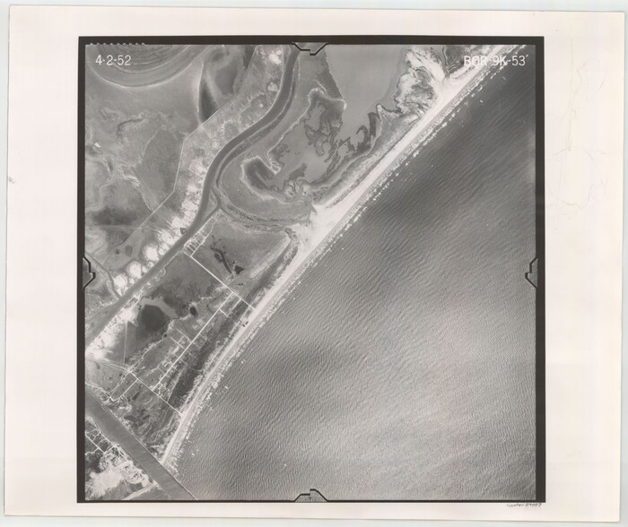
Flight Mission No. BQR-9K, Frame 53, Brazoria County

Print $20.00
- Digital $50.00
Flight Mission No. BQR-9K, Frame 53, Brazoria County
1952
Size 18.7 x 22.3 inches
Map/Doc 84057
[Sketch Showing Blocks O18 and B11]
![93108, [Sketch Showing Blocks O18 and B11], Twichell Survey Records](https://historictexasmaps.com/wmedia_w700/maps/93108-1.tif.jpg)
![93108, [Sketch Showing Blocks O18 and B11], Twichell Survey Records](https://historictexasmaps.com/wmedia_w700/maps/93108-1.tif.jpg)
Print $3.00
- Digital $50.00
[Sketch Showing Blocks O18 and B11]
Size 15.5 x 11.9 inches
Map/Doc 93108
Current Miscellaneous File 7
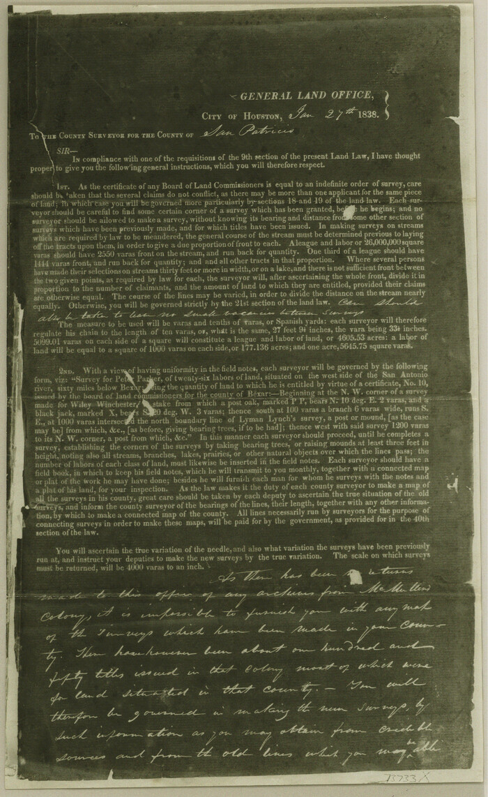

Print $6.00
- Digital $50.00
Current Miscellaneous File 7
1838
Size 13.8 x 8.5 inches
Map/Doc 73733
Flight Mission No. BRA-7M, Frame 186, Jefferson County
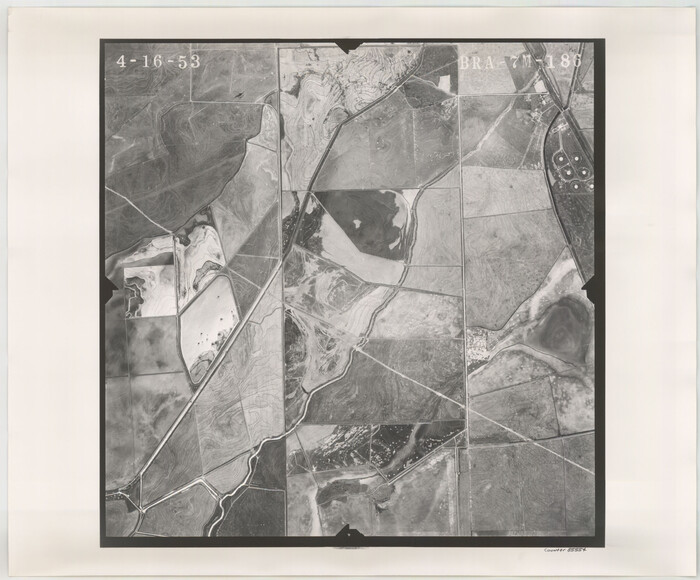

Print $20.00
- Digital $50.00
Flight Mission No. BRA-7M, Frame 186, Jefferson County
1953
Size 18.4 x 22.2 inches
Map/Doc 85554
Schleicher County
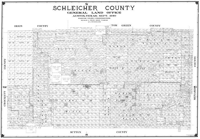

Print $20.00
- Digital $50.00
Schleicher County
1940
Size 28.8 x 41.2 inches
Map/Doc 77418
[De Loches County School Land]
![91198, [De Loches County School Land], Twichell Survey Records](https://historictexasmaps.com/wmedia_w700/maps/91198-1.tif.jpg)
![91198, [De Loches County School Land], Twichell Survey Records](https://historictexasmaps.com/wmedia_w700/maps/91198-1.tif.jpg)
Print $20.00
- Digital $50.00
[De Loches County School Land]
Size 20.4 x 35.2 inches
Map/Doc 91198
Harris County Rolled Sketch WB


Print $20.00
- Digital $50.00
Harris County Rolled Sketch WB
1916
Size 15.5 x 21.1 inches
Map/Doc 6147
Hudspeth County Working Sketch 40
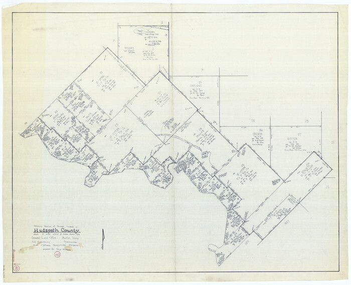

Print $20.00
- Digital $50.00
Hudspeth County Working Sketch 40
1981
Size 35.6 x 43.8 inches
Map/Doc 66325
[Sketch for Mineral Application 33721 - 33725 Incl. - Padre and Mustang Island]
![2874, [Sketch for Mineral Application 33721 - 33725 Incl. - Padre and Mustang Island], General Map Collection](https://historictexasmaps.com/wmedia_w700/maps/2874.tif.jpg)
![2874, [Sketch for Mineral Application 33721 - 33725 Incl. - Padre and Mustang Island], General Map Collection](https://historictexasmaps.com/wmedia_w700/maps/2874.tif.jpg)
Print $20.00
- Digital $50.00
[Sketch for Mineral Application 33721 - 33725 Incl. - Padre and Mustang Island]
1941
Size 40.2 x 22.8 inches
Map/Doc 2874
![92543, [Topographical Map], Twichell Survey Records](https://historictexasmaps.com/wmedia_w1800h1800/maps/92543-1.tif.jpg)