[Sketch N, showing Blocks C-10, C-14 through C-16]
195-13
-
Map/Doc
91772
-
Collection
Twichell Survey Records
-
People and Organizations
W.D. Twichell (Surveyor/Engineer)
-
Counties
Reeves
-
Height x Width
38.6 x 22.1 inches
98.0 x 56.1 cm
Part of: Twichell Survey Records
[Texas, New Mexico Clark's Monument #26]
![91309, [Texas, New Mexico Clark's Monument #26], Twichell Survey Records](https://historictexasmaps.com/wmedia_w700/maps/91309-1.tif.jpg)
![91309, [Texas, New Mexico Clark's Monument #26], Twichell Survey Records](https://historictexasmaps.com/wmedia_w700/maps/91309-1.tif.jpg)
Print $3.00
- Digital $50.00
[Texas, New Mexico Clark's Monument #26]
1941
Size 16.1 x 7.4 inches
Map/Doc 91309
[E. L. & R. R. RR. Company, Block LC2]
![90663, [E. L. & R. R. RR. Company, Block LC2], Twichell Survey Records](https://historictexasmaps.com/wmedia_w700/maps/90663-1.tif.jpg)
![90663, [E. L. & R. R. RR. Company, Block LC2], Twichell Survey Records](https://historictexasmaps.com/wmedia_w700/maps/90663-1.tif.jpg)
Print $2.00
- Digital $50.00
[E. L. & R. R. RR. Company, Block LC2]
1907
Size 9.7 x 7.9 inches
Map/Doc 90663
40 Acre Lease Units Anton Townsite Hockley County, Texas


Print $20.00
- Digital $50.00
40 Acre Lease Units Anton Townsite Hockley County, Texas
Size 17.1 x 18.5 inches
Map/Doc 92248
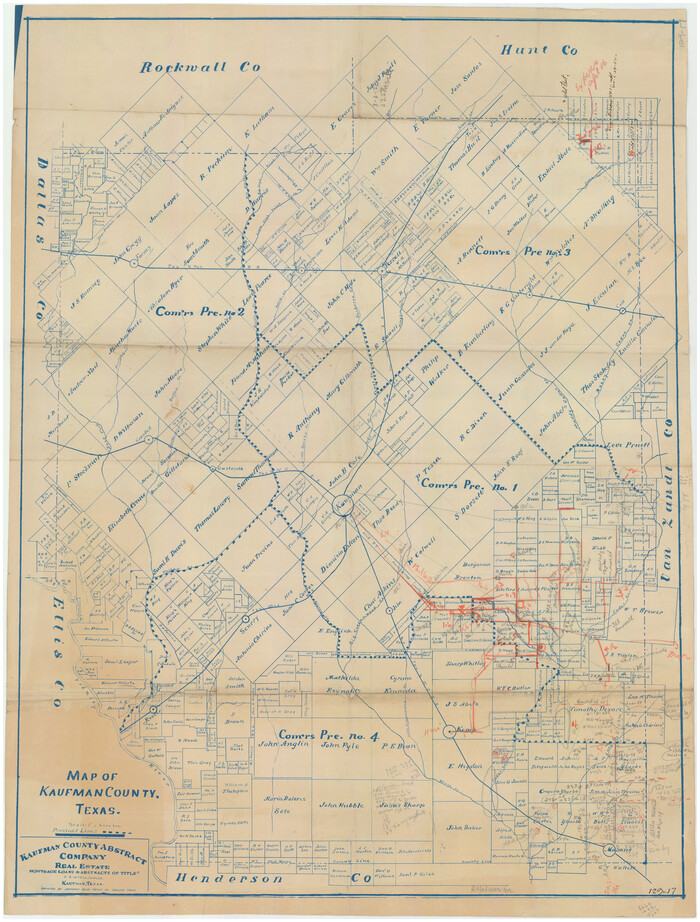
Map of Kaufman County, Texas

Print $20.00
- Digital $50.00
Map of Kaufman County, Texas
Size 29.7 x 38.7 inches
Map/Doc 91029
[Strip Map showing T. & P. connecting lines]
![93182, [Strip Map showing T. & P. connecting lines], Twichell Survey Records](https://historictexasmaps.com/wmedia_w700/maps/93182-1.tif.jpg)
![93182, [Strip Map showing T. & P. connecting lines], Twichell Survey Records](https://historictexasmaps.com/wmedia_w700/maps/93182-1.tif.jpg)
Print $40.00
- Digital $50.00
[Strip Map showing T. & P. connecting lines]
Size 13.6 x 92.6 inches
Map/Doc 93182
[Blocks B, T, and 1]
![90972, [Blocks B, T, and 1], Twichell Survey Records](https://historictexasmaps.com/wmedia_w700/maps/90972-1.tif.jpg)
![90972, [Blocks B, T, and 1], Twichell Survey Records](https://historictexasmaps.com/wmedia_w700/maps/90972-1.tif.jpg)
Print $2.00
- Digital $50.00
[Blocks B, T, and 1]
Size 9.2 x 13.7 inches
Map/Doc 90972
[Sketch of Blocks Z and 194, showing tie lines with Runnels County School Land survey]
![91665, [Sketch of Blocks Z and 194, showing tie lines with Runnels County School Land survey], Twichell Survey Records](https://historictexasmaps.com/wmedia_w700/maps/91665-1.tif.jpg)
![91665, [Sketch of Blocks Z and 194, showing tie lines with Runnels County School Land survey], Twichell Survey Records](https://historictexasmaps.com/wmedia_w700/maps/91665-1.tif.jpg)
Print $20.00
- Digital $50.00
[Sketch of Blocks Z and 194, showing tie lines with Runnels County School Land survey]
Size 21.5 x 15.5 inches
Map/Doc 91665
[Surveys in the vicinity of Coyote Lake, Bailey County]
![90161, [Surveys in the vicinity of Coyote Lake, Bailey County], Twichell Survey Records](https://historictexasmaps.com/wmedia_w700/maps/90161-1.tif.jpg)
![90161, [Surveys in the vicinity of Coyote Lake, Bailey County], Twichell Survey Records](https://historictexasmaps.com/wmedia_w700/maps/90161-1.tif.jpg)
Print $20.00
- Digital $50.00
[Surveys in the vicinity of Coyote Lake, Bailey County]
1913
Size 26.8 x 26.7 inches
Map/Doc 90161
[Nathaniel H. Cochran Survey and Vicinity]
![91496, [Nathaniel H. Cochran Survey and Vicinity], Twichell Survey Records](https://historictexasmaps.com/wmedia_w700/maps/91496-1.tif.jpg)
![91496, [Nathaniel H. Cochran Survey and Vicinity], Twichell Survey Records](https://historictexasmaps.com/wmedia_w700/maps/91496-1.tif.jpg)
Print $20.00
- Digital $50.00
[Nathaniel H. Cochran Survey and Vicinity]
1922
Size 22.5 x 21.9 inches
Map/Doc 91496
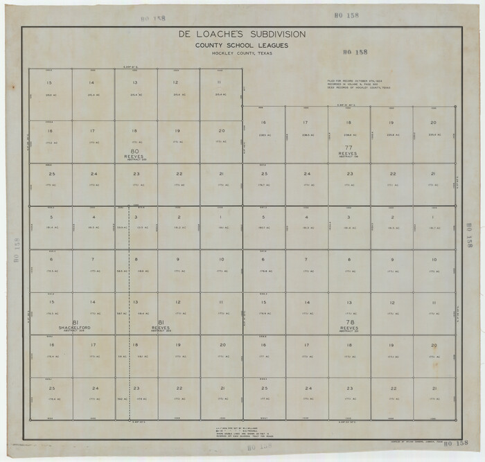
De Loache's Subdivision County School Leagues Hockley County, Texas

Print $20.00
- Digital $50.00
De Loache's Subdivision County School Leagues Hockley County, Texas
1924
Size 38.6 x 36.8 inches
Map/Doc 92235
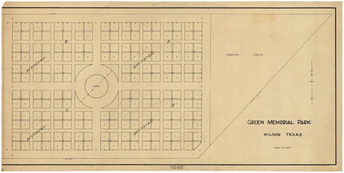
Green Memorial Park

Print $20.00
- Digital $50.00
Green Memorial Park
Size 41.4 x 20.9 inches
Map/Doc 92937
You may also like
Cottle County Sketch File AA1

Print $95.00
- Digital $50.00
Cottle County Sketch File AA1
1895
Size 9.4 x 4.2 inches
Map/Doc 19398
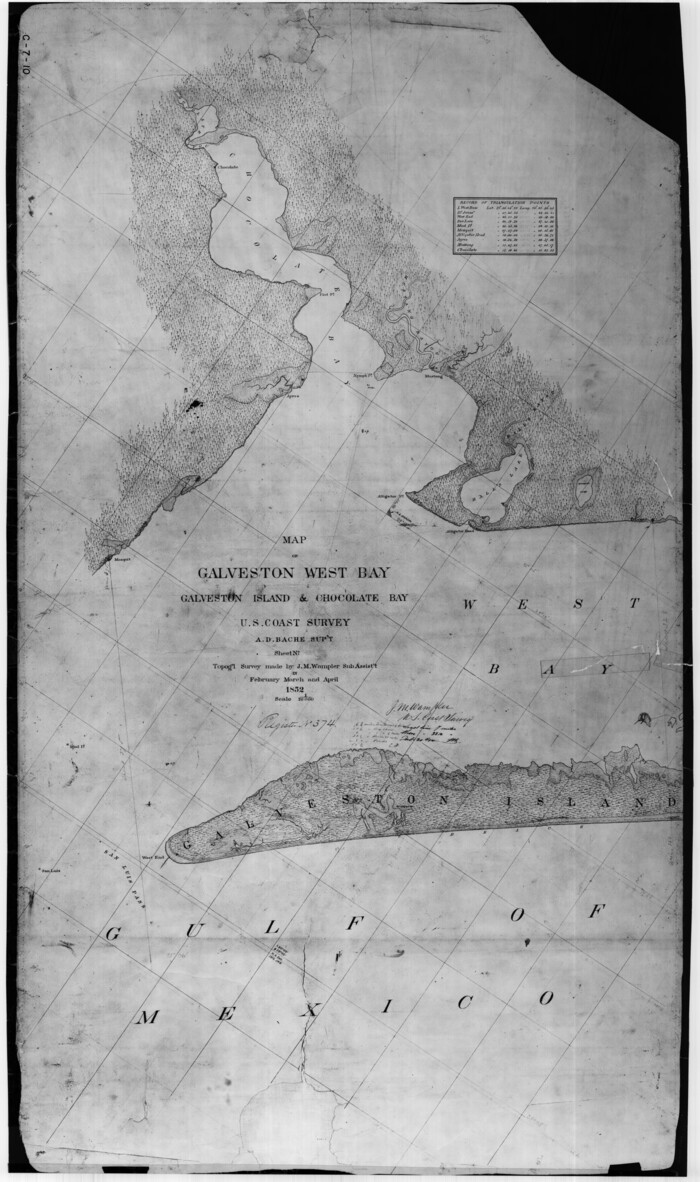
Map of Galveston West Bay, Galveston Island & Chocolate Bay

Print $40.00
- Digital $50.00
Map of Galveston West Bay, Galveston Island & Chocolate Bay
1852
Size 50.5 x 29.9 inches
Map/Doc 69924
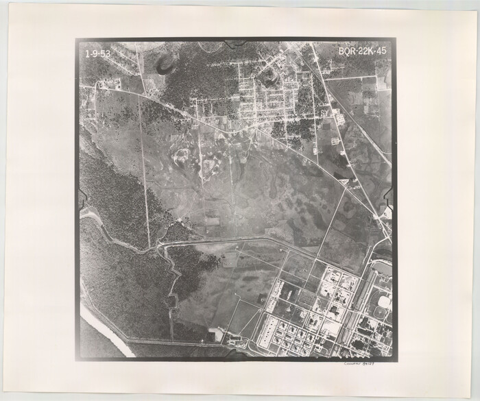
Flight Mission No. BQR-22K, Frame 45, Brazoria County

Print $20.00
- Digital $50.00
Flight Mission No. BQR-22K, Frame 45, Brazoria County
1953
Size 18.7 x 22.4 inches
Map/Doc 84129
Jack County Sketch File 13


Print $4.00
- Digital $50.00
Jack County Sketch File 13
Size 10.3 x 8.0 inches
Map/Doc 27537
Haskell County Working Sketch Graphic Index


Print $20.00
- Digital $50.00
Haskell County Working Sketch Graphic Index
1933
Size 43.3 x 37.7 inches
Map/Doc 76572
Andrews County Rolled Sketch 13


Print $20.00
- Digital $50.00
Andrews County Rolled Sketch 13
1934
Size 38.3 x 26.2 inches
Map/Doc 77163
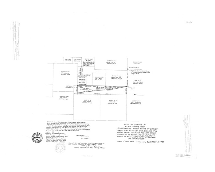
Kerr County Rolled Sketch 24

Print $20.00
- Digital $50.00
Kerr County Rolled Sketch 24
Size 25.1 x 31.4 inches
Map/Doc 6504
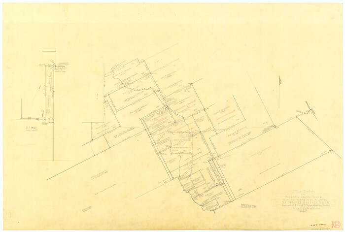
Brazoria County Working Sketch 12

Print $20.00
- Digital $50.00
Brazoria County Working Sketch 12
1936
Size 24.6 x 36.6 inches
Map/Doc 67497
[Bastrop District]
![83517, [Bastrop District], General Map Collection](https://historictexasmaps.com/wmedia_w700/maps/83517-1.tif.jpg)
![83517, [Bastrop District], General Map Collection](https://historictexasmaps.com/wmedia_w700/maps/83517-1.tif.jpg)
Print $20.00
- Digital $50.00
[Bastrop District]
1838
Size 25.1 x 46.1 inches
Map/Doc 83517
[Atchison, Topeka & Santa Fe from Paisano to south of Plata]
![64713, [Atchison, Topeka & Santa Fe from Paisano to south of Plata], General Map Collection](https://historictexasmaps.com/wmedia_w700/maps/64713-1.tif.jpg)
![64713, [Atchison, Topeka & Santa Fe from Paisano to south of Plata], General Map Collection](https://historictexasmaps.com/wmedia_w700/maps/64713-1.tif.jpg)
Print $40.00
- Digital $50.00
[Atchison, Topeka & Santa Fe from Paisano to south of Plata]
Size 32.2 x 116.3 inches
Map/Doc 64713
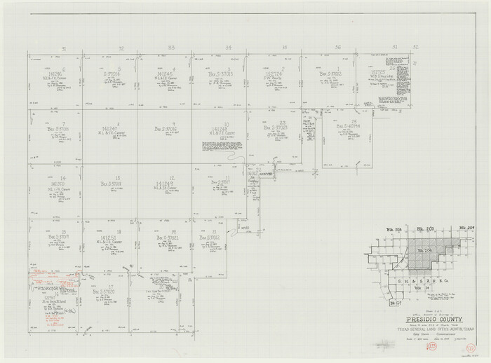
Presidio County Working Sketch 133

Print $20.00
- Digital $50.00
Presidio County Working Sketch 133
1989
Size 31.7 x 42.8 inches
Map/Doc 71811
![91772, [Sketch N, showing Blocks C-10, C-14 through C-16], Twichell Survey Records](https://historictexasmaps.com/wmedia_w1800h1800/maps/91772-1.tif.jpg)
