[Sketch showing county line between Randall and Potter Counties]
191-9
-
Map/Doc
91760
-
Collection
Twichell Survey Records
-
Counties
Randall Potter
-
Height x Width
18.8 x 37.0 inches
47.8 x 94.0 cm
Part of: Twichell Survey Records
Sketch in Southeastern Portion of Stephens County


Print $20.00
- Digital $50.00
Sketch in Southeastern Portion of Stephens County
1919
Size 29.0 x 21.7 inches
Map/Doc 91841
Map of the Mirror's Addition to the town of Amarillo, Potter County, Texas on the line of the Fort Worth and Denver City Ry.


Print $20.00
- Digital $50.00
Map of the Mirror's Addition to the town of Amarillo, Potter County, Texas on the line of the Fort Worth and Denver City Ry.
Size 13.3 x 20.1 inches
Map/Doc 91787
[Blocks M-23, M-17, M-18, H, G, and vicinity]
![91140, [Blocks M-23, M-17, M-18, H, G, and vicinity], Twichell Survey Records](https://historictexasmaps.com/wmedia_w700/maps/91140-1.tif.jpg)
![91140, [Blocks M-23, M-17, M-18, H, G, and vicinity], Twichell Survey Records](https://historictexasmaps.com/wmedia_w700/maps/91140-1.tif.jpg)
Print $20.00
- Digital $50.00
[Blocks M-23, M-17, M-18, H, G, and vicinity]
1882
Size 12.6 x 12.2 inches
Map/Doc 91140
[Blocks C, M and B, north of Morris County School Land]
![90488, [Blocks C, M and B, north of Morris County School Land], Twichell Survey Records](https://historictexasmaps.com/wmedia_w700/maps/90488-1.tif.jpg)
![90488, [Blocks C, M and B, north of Morris County School Land], Twichell Survey Records](https://historictexasmaps.com/wmedia_w700/maps/90488-1.tif.jpg)
Print $20.00
- Digital $50.00
[Blocks C, M and B, north of Morris County School Land]
Size 20.0 x 15.0 inches
Map/Doc 90488
[E. L. & R. R., Blocks 10, 9, 3, and 1]
![91346, [E. L. & R. R., Blocks 10, 9, 3, and 1], Twichell Survey Records](https://historictexasmaps.com/wmedia_w700/maps/91346-1.tif.jpg)
![91346, [E. L. & R. R., Blocks 10, 9, 3, and 1], Twichell Survey Records](https://historictexasmaps.com/wmedia_w700/maps/91346-1.tif.jpg)
Print $20.00
- Digital $50.00
[E. L. & R. R., Blocks 10, 9, 3, and 1]
Size 16.0 x 23.0 inches
Map/Doc 91346
[H. & G. N. Block 8 showing Llano and Espuella fence lines]
![90375, [H. & G. N. Block 8 showing Llano and Espuella fence lines], Twichell Survey Records](https://historictexasmaps.com/wmedia_w700/maps/90375-1.tif.jpg)
![90375, [H. & G. N. Block 8 showing Llano and Espuella fence lines], Twichell Survey Records](https://historictexasmaps.com/wmedia_w700/maps/90375-1.tif.jpg)
Print $2.00
- Digital $50.00
[H. & G. N. Block 8 showing Llano and Espuella fence lines]
Size 8.7 x 11.0 inches
Map/Doc 90375
Map Showing Division Line Between Chapman and Mills' Lands


Print $20.00
- Digital $50.00
Map Showing Division Line Between Chapman and Mills' Lands
Size 32.5 x 31.6 inches
Map/Doc 92848
[Sketch of area in dispute between Archibald Smith and Cyrena McReara Surveys]
![91923, [Sketch of area in dispute between Archibald Smith and Cyrena McReara Surveys], Twichell Survey Records](https://historictexasmaps.com/wmedia_w700/maps/91923-1.tif.jpg)
![91923, [Sketch of area in dispute between Archibald Smith and Cyrena McReara Surveys], Twichell Survey Records](https://historictexasmaps.com/wmedia_w700/maps/91923-1.tif.jpg)
Print $20.00
- Digital $50.00
[Sketch of area in dispute between Archibald Smith and Cyrena McReara Surveys]
Size 27.8 x 31.9 inches
Map/Doc 91923
[Surveys in the vicinity of Falls County School Land]
![90168, [Surveys in the vicinity of Falls County School Land], Twichell Survey Records](https://historictexasmaps.com/wmedia_w700/maps/90168-1.tif.jpg)
![90168, [Surveys in the vicinity of Falls County School Land], Twichell Survey Records](https://historictexasmaps.com/wmedia_w700/maps/90168-1.tif.jpg)
Print $20.00
- Digital $50.00
[Surveys in the vicinity of Falls County School Land]
Size 32.5 x 37.1 inches
Map/Doc 90168
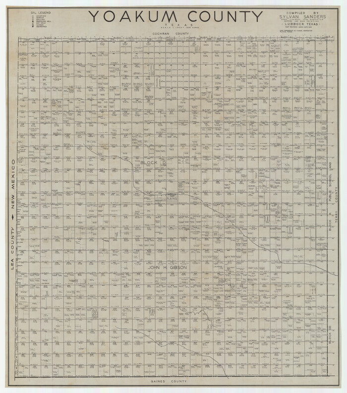
Yoakum County, Texas

Print $20.00
- Digital $50.00
Yoakum County, Texas
1936
Size 38.4 x 43.5 inches
Map/Doc 89903
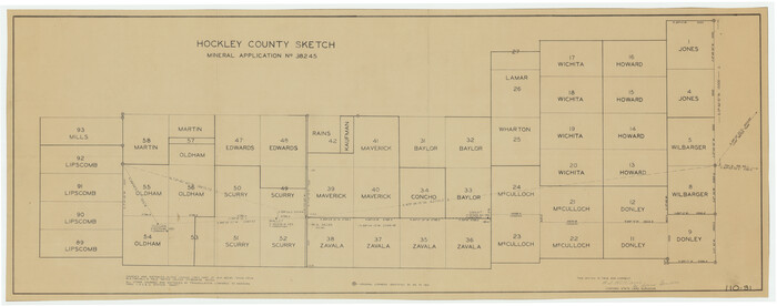
Hockley County Sketch, Mineral Application Number 38245

Print $20.00
- Digital $50.00
Hockley County Sketch, Mineral Application Number 38245
Size 27.2 x 10.8 inches
Map/Doc 91093
[Sketch showing Northwest corner of Fisher County, Northeast corner of Scurry County and South part of Kent County]
![90917, [Sketch showing Northwest corner of Fisher County, Northeast corner of Scurry County and South part of Kent County], Twichell Survey Records](https://historictexasmaps.com/wmedia_w700/maps/90917-1.tif.jpg)
![90917, [Sketch showing Northwest corner of Fisher County, Northeast corner of Scurry County and South part of Kent County], Twichell Survey Records](https://historictexasmaps.com/wmedia_w700/maps/90917-1.tif.jpg)
Print $20.00
- Digital $50.00
[Sketch showing Northwest corner of Fisher County, Northeast corner of Scurry County and South part of Kent County]
1900
Size 17.7 x 15.0 inches
Map/Doc 90917
You may also like
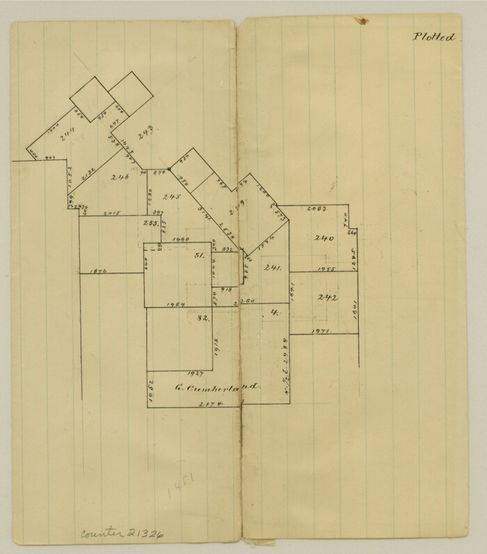
Duval County Sketch File 23

Print $4.00
- Digital $50.00
Duval County Sketch File 23
Size 8.1 x 7.1 inches
Map/Doc 21326
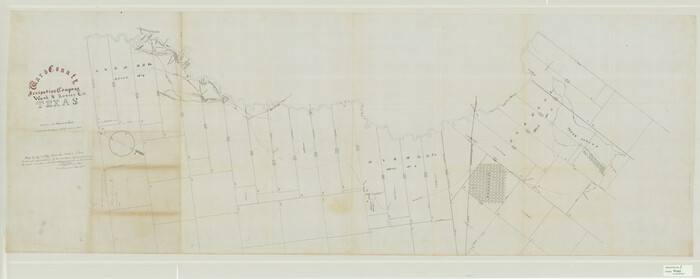
Ward County Sketch File 2

Print $40.00
- Digital $50.00
Ward County Sketch File 2
Size 25.0 x 62.7 inches
Map/Doc 10426
Fayette County Sketch File 6

Print $114.00
- Digital $50.00
Fayette County Sketch File 6
1981
Size 14.9 x 9.5 inches
Map/Doc 22508
Val Verde County Working Sketch 10


Print $20.00
- Digital $50.00
Val Verde County Working Sketch 10
1920
Size 31.7 x 21.2 inches
Map/Doc 72145
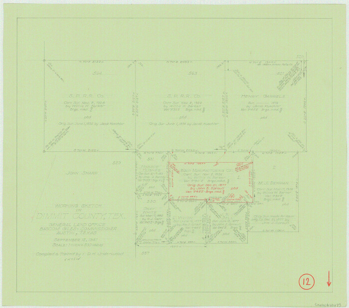
Dimmit County Working Sketch 12

Print $20.00
- Digital $50.00
Dimmit County Working Sketch 12
1941
Size 14.4 x 16.3 inches
Map/Doc 68673
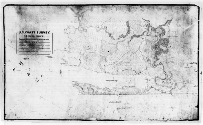
Part of Matagorda Bay & Peninsula, Texas

Print $40.00
- Digital $50.00
Part of Matagorda Bay & Peninsula, Texas
1856
Size 31.8 x 51.4 inches
Map/Doc 69978
Flight Mission No. CRK-3P, Frame 126, Refugio County


Print $20.00
- Digital $50.00
Flight Mission No. CRK-3P, Frame 126, Refugio County
1956
Size 18.6 x 22.4 inches
Map/Doc 86914
Flight Mission No. CUG-1P, Frame 167, Kleberg County

Print $20.00
- Digital $50.00
Flight Mission No. CUG-1P, Frame 167, Kleberg County
1956
Size 18.7 x 22.4 inches
Map/Doc 86174
Val Verde County Working Sketch 88


Print $20.00
- Digital $50.00
Val Verde County Working Sketch 88
1973
Size 29.0 x 36.9 inches
Map/Doc 72223
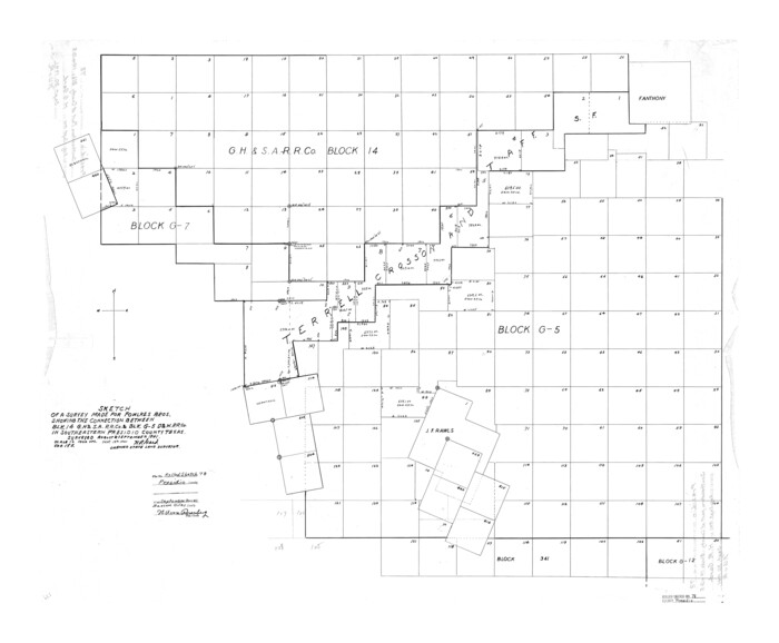
Presidio County Rolled Sketch 78

Print $20.00
- Digital $50.00
Presidio County Rolled Sketch 78
1941
Size 32.4 x 39.2 inches
Map/Doc 7364
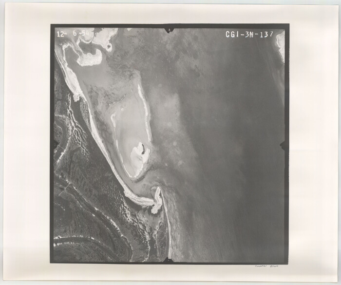
Flight Mission No. CGI-3N, Frame 137, Cameron County

Print $20.00
- Digital $50.00
Flight Mission No. CGI-3N, Frame 137, Cameron County
1954
Size 18.6 x 22.2 inches
Map/Doc 84610
Hardin County Sketch File 47


Print $4.00
- Digital $50.00
Hardin County Sketch File 47
1875
Size 7.2 x 7.2 inches
Map/Doc 25200
![91760, [Sketch showing county line between Randall and Potter Counties], Twichell Survey Records](https://historictexasmaps.com/wmedia_w1800h1800/maps/91760-1.tif.jpg)