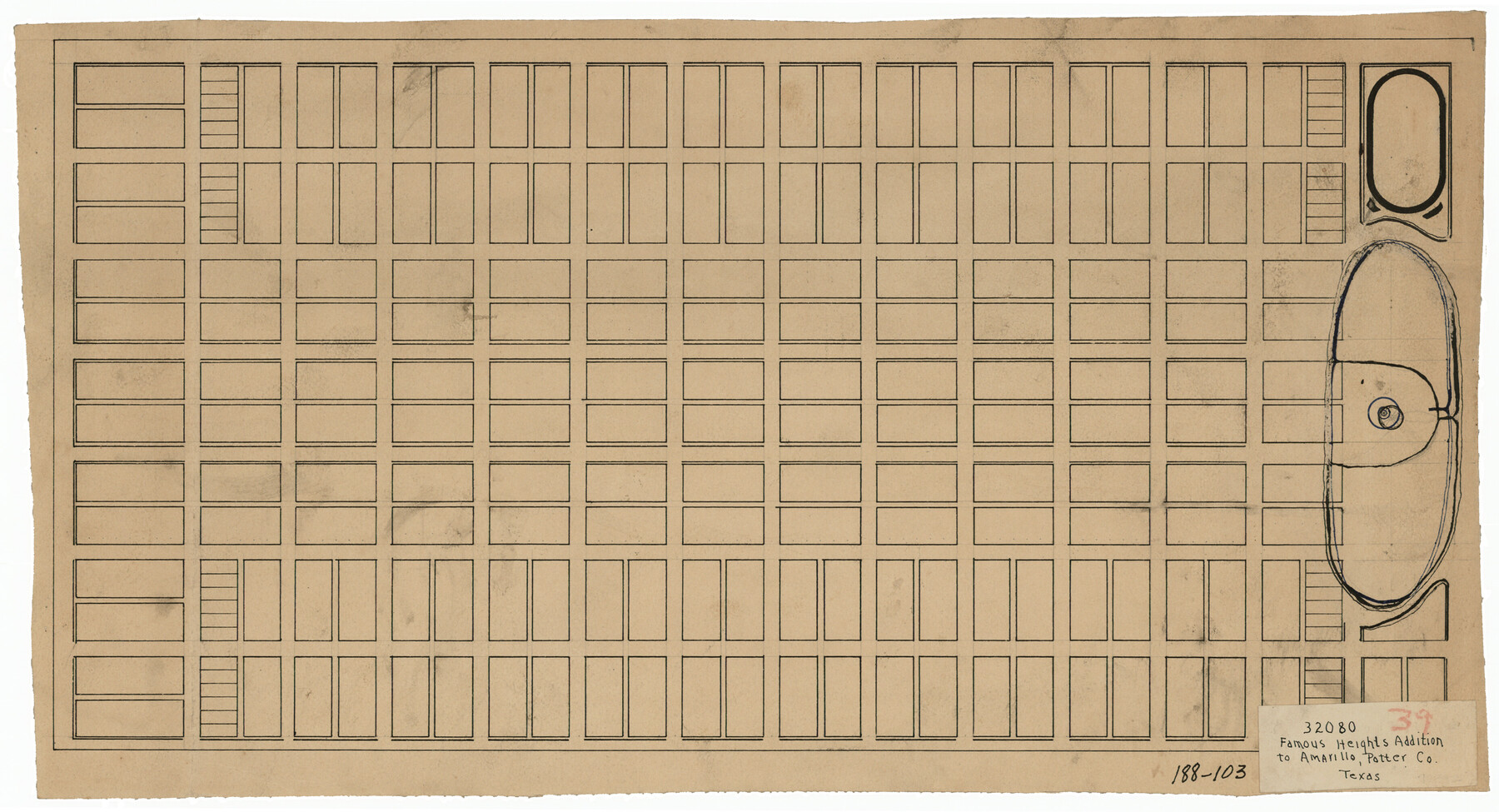
Famous Heights Addition to Amarillo, Potter Co. Texas
188-103
-
Map/Doc
91744
-
Collection
Twichell Survey Records
-
Counties
Potter
-
Height x Width
18.6 x 10.0 inches
47.2 x 25.4 cm
Part of: Twichell Survey Records
[Sketch showing parts of Blocks 3, 5, 22, M-20, S, T and Block BB, surveys 1, 2 and 3]
![91729, [Sketch showing parts of Blocks 3, 5, 22, M-20, S, T and Block BB, surveys 1, 2 and 3], Twichell Survey Records](https://historictexasmaps.com/wmedia_w700/maps/91729-1.tif.jpg)
Print $20.00
- Digital $50.00
[Sketch showing parts of Blocks 3, 5, 22, M-20, S, T and Block BB, surveys 1, 2 and 3]
Size 15.9 x 15.3 inches
Map/Doc 91729
Property Line Map, Public Housing Authority

Print $3.00
- Digital $50.00
Property Line Map, Public Housing Authority
Size 11.9 x 15.5 inches
Map/Doc 92707
Capitol Lands Surveyed by J. T. Munson

Print $20.00
- Digital $50.00
Capitol Lands Surveyed by J. T. Munson
Size 15.5 x 16.7 inches
Map/Doc 90524
Section L Tech Memorial Park, Inc.

Print $3.00
- Digital $50.00
Section L Tech Memorial Park, Inc.
1950
Size 11.7 x 12.8 inches
Map/Doc 92270
[Capitol Leagues 217- 235, 238, and 239]
![90706, [Capitol Leagues 217- 235, 238, and 239], Twichell Survey Records](https://historictexasmaps.com/wmedia_w700/maps/90706-1.tif.jpg)
Print $20.00
- Digital $50.00
[Capitol Leagues 217- 235, 238, and 239]
Size 26.3 x 26.9 inches
Map/Doc 90706
[Townships 1 & 2, Blocks 56, 57]
![92927, [Townships 1 & 2, Blocks 56, 57], Twichell Survey Records](https://historictexasmaps.com/wmedia_w700/maps/92927-1.tif.jpg)
Print $20.00
- Digital $50.00
[Townships 1 & 2, Blocks 56, 57]
Size 19.7 x 22.8 inches
Map/Doc 92927
Shackelford County

Print $20.00
- Digital $50.00
Shackelford County
1920
Size 39.2 x 46.1 inches
Map/Doc 93031
[West Half of Potter County, South of River and West Half of Randall County]
![91828, [West Half of Potter County, South of River and West Half of Randall County], Twichell Survey Records](https://historictexasmaps.com/wmedia_w700/maps/91828.tif.jpg)
Print $20.00
- Digital $50.00
[West Half of Potter County, South of River and West Half of Randall County]
Size 25.9 x 43.0 inches
Map/Doc 91828
Map of the Town of Wilson

Print $20.00
- Digital $50.00
Map of the Town of Wilson
1924
Size 24.6 x 26.7 inches
Map/Doc 92958
Hartley County

Print $20.00
- Digital $50.00
Hartley County
1882
Size 30.2 x 19.3 inches
Map/Doc 90708
[Notes and rough sketch of survey 6, Block 16 and survey 19 1/2, Block 19]
![93052, [Notes and rough sketch of survey 6, Block 16 and survey 19 1/2, Block 19], Twichell Survey Records](https://historictexasmaps.com/wmedia_w700/maps/93052-1.tif.jpg)
Print $2.00
- Digital $50.00
[Notes and rough sketch of survey 6, Block 16 and survey 19 1/2, Block 19]
1937
Size 8.7 x 11.4 inches
Map/Doc 93052

You may also like
Crockett County Rolled Sketch 88E

Print $40.00
- Digital $50.00
Crockett County Rolled Sketch 88E
1973
Size 44.4 x 30.6 inches
Map/Doc 8730

Midland County Sketch File 11

Print $20.00
- Digital $50.00
Midland County Sketch File 11
1936
Size 21.6 x 17.5 inches
Map/Doc 12086
Mappa Geographica Regionem Mexicanam et Floridam, Terrasque adjacentes, ut et Anteriores Americae Insulas, Curfus itidem et Reditus Navigantuim verfus flumen Missisipi et alias Colonias ob oculos ponens, cura et fumptibus

Print $20.00
Mappa Geographica Regionem Mexicanam et Floridam, Terrasque adjacentes, ut et Anteriores Americae Insulas, Curfus itidem et Reditus Navigantuim verfus flumen Missisipi et alias Colonias ob oculos ponens, cura et fumptibus
1725
Size 20.0 x 24.0 inches
Map/Doc 76196

The Republic County of Bowie. December 29, 1845

Print $20.00
The Republic County of Bowie. December 29, 1845
2020
Size 19.5 x 21.7 inches
Map/Doc 96108
Midland County Rolled Sketch 12

Print $40.00
- Digital $50.00
Midland County Rolled Sketch 12
Size 97.0 x 42.6 inches
Map/Doc 9520
[Sketch of part of G. & M. Block 5]
![93096, [Sketch of part of G. & M. Block 5], Twichell Survey Records](https://historictexasmaps.com/wmedia_w700/maps/93096-1.tif.jpg)
Print $2.00
- Digital $50.00
[Sketch of part of G. & M. Block 5]
Size 8.1 x 9.3 inches
Map/Doc 93096
Flight Mission No. DQN-1K, Frame 48, Calhoun County

Print $20.00
- Digital $50.00
Flight Mission No. DQN-1K, Frame 48, Calhoun County
1953
Size 17.3 x 18.6 inches
Map/Doc 84148
Sutton County Rolled Sketch 64

Print $20.00
- Digital $50.00
Sutton County Rolled Sketch 64
1975
Size 17.9 x 19.6 inches
Map/Doc 7899
Hopkins County Sketch File 10a

Print $4.00
- Digital $50.00
Hopkins County Sketch File 10a
1856
Size 12.2 x 7.8 inches
Map/Doc 26702
Willacy County

Print $20.00
- Digital $50.00
Willacy County
1921
Size 23.5 x 31.0 inches
Map/Doc 77459