[Jas. T. Williams Survey and vicinity]
117-69
-
Map/Doc
91263
-
Collection
Twichell Survey Records
-
Counties
Hutchinson
-
Height x Width
27.0 x 22.1 inches
68.6 x 56.1 cm
Part of: Twichell Survey Records
[Sketch showing Potter County Block 2] / [Sketch showing F. W. & D. C. Round House]
![91710, [Sketch showing Potter County Block 2] / [Sketch showing F. W. & D. C. Round House], Twichell Survey Records](https://historictexasmaps.com/wmedia_w700/maps/91710-1.tif.jpg)
![91710, [Sketch showing Potter County Block 2] / [Sketch showing F. W. & D. C. Round House], Twichell Survey Records](https://historictexasmaps.com/wmedia_w700/maps/91710-1.tif.jpg)
Print $20.00
- Digital $50.00
[Sketch showing Potter County Block 2] / [Sketch showing F. W. & D. C. Round House]
Size 14.6 x 12.1 inches
Map/Doc 91710
Official Map City of Lubbock Lubbock County, Texas


Print $20.00
- Digital $50.00
Official Map City of Lubbock Lubbock County, Texas
1927
Size 44.6 x 33.4 inches
Map/Doc 93220
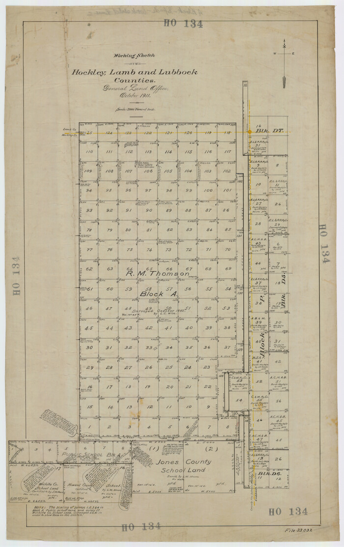
Working Sketch in Hockley, Lamb, and Lubbock Counties

Print $20.00
- Digital $50.00
Working Sketch in Hockley, Lamb, and Lubbock Counties
1911
Size 16.7 x 26.6 inches
Map/Doc 92213
[Block 35, Township 5 N]
![90562, [Block 35, Township 5 N], Twichell Survey Records](https://historictexasmaps.com/wmedia_w700/maps/90562-1.tif.jpg)
![90562, [Block 35, Township 5 N], Twichell Survey Records](https://historictexasmaps.com/wmedia_w700/maps/90562-1.tif.jpg)
Print $20.00
- Digital $50.00
[Block 35, Township 5 N]
Size 15.4 x 16.1 inches
Map/Doc 90562
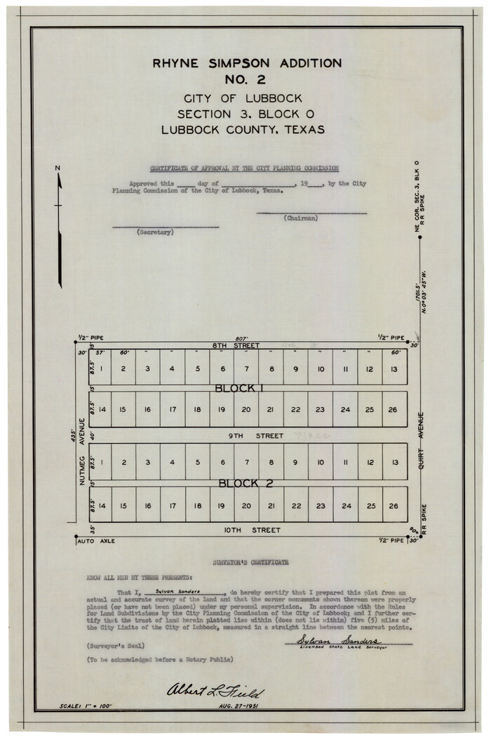
Rhyne Simpson Addition No. 2, City of Lubbock Section 3, Block O

Print $20.00
- Digital $50.00
Rhyne Simpson Addition No. 2, City of Lubbock Section 3, Block O
1951
Size 12.2 x 18.4 inches
Map/Doc 92731
[Castro, Lamb, Hockley, Swisher, Hale, and Lubbock Counties]
![91026, [Castro, Lamb, Hockley, Swisher, Hale, and Lubbock Counties], Twichell Survey Records](https://historictexasmaps.com/wmedia_w700/maps/91026-1.tif.jpg)
![91026, [Castro, Lamb, Hockley, Swisher, Hale, and Lubbock Counties], Twichell Survey Records](https://historictexasmaps.com/wmedia_w700/maps/91026-1.tif.jpg)
Print $20.00
- Digital $50.00
[Castro, Lamb, Hockley, Swisher, Hale, and Lubbock Counties]
Size 28.7 x 37.6 inches
Map/Doc 91026
[E. T. Ry. Blk. 1]
![89794, [E. T. Ry. Blk. 1], Twichell Survey Records](https://historictexasmaps.com/wmedia_w700/maps/89794-1.tif.jpg)
![89794, [E. T. Ry. Blk. 1], Twichell Survey Records](https://historictexasmaps.com/wmedia_w700/maps/89794-1.tif.jpg)
Print $40.00
- Digital $50.00
[E. T. Ry. Blk. 1]
Size 56.5 x 43.4 inches
Map/Doc 89794
Highland Place an Addition to City of Lubbock


Print $20.00
- Digital $50.00
Highland Place an Addition to City of Lubbock
Size 25.9 x 22.1 inches
Map/Doc 92844
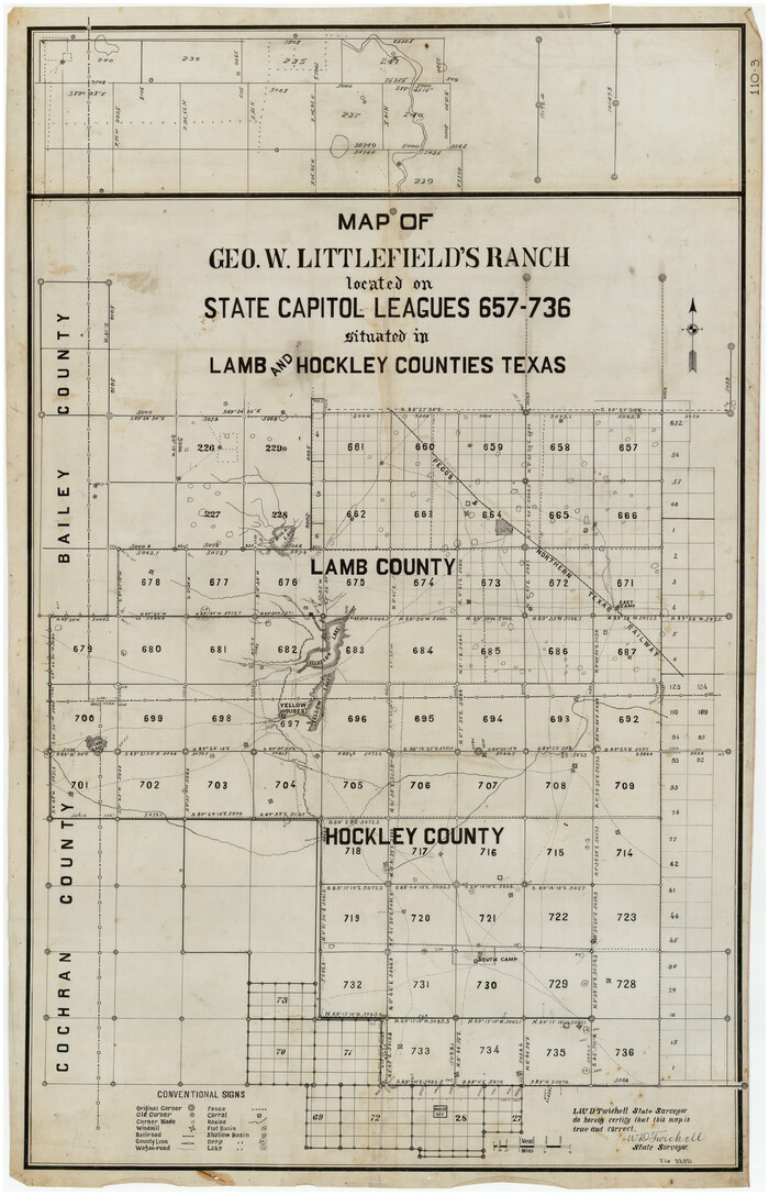
Map of Geo. W. Littlefield's Ranch Located on State Capitol Leagues 657-736 Situated in Lamb and Hockley Counties

Print $20.00
- Digital $50.00
Map of Geo. W. Littlefield's Ranch Located on State Capitol Leagues 657-736 Situated in Lamb and Hockley Counties
Size 29.7 x 45.6 inches
Map/Doc 91223
T and P as Surveyed January 1876, Blocks 35-36


Print $40.00
- Digital $50.00
T and P as Surveyed January 1876, Blocks 35-36
1876
Size 29.0 x 95.2 inches
Map/Doc 93184
You may also like
Hardin County Boundary File 40


Print $14.00
- Digital $50.00
Hardin County Boundary File 40
Size 9.0 x 3.5 inches
Map/Doc 54409
[Map of Surveys in Dallam, Texas]
![1768, [Map of Surveys in Dallam, Texas], General Map Collection](https://historictexasmaps.com/wmedia_w700/maps/1768.tif.jpg)
![1768, [Map of Surveys in Dallam, Texas], General Map Collection](https://historictexasmaps.com/wmedia_w700/maps/1768.tif.jpg)
Print $20.00
- Digital $50.00
[Map of Surveys in Dallam, Texas]
1910
Size 19.5 x 27.8 inches
Map/Doc 1768
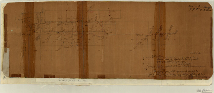
Nolan County Rolled Sketch W

Print $20.00
- Digital $50.00
Nolan County Rolled Sketch W
1902
Size 16.5 x 38.0 inches
Map/Doc 6863
Pecos County Rolled Sketch 155


Print $40.00
- Digital $50.00
Pecos County Rolled Sketch 155
Size 65.1 x 44.8 inches
Map/Doc 9737
San Jacinto County Working Sketch 32
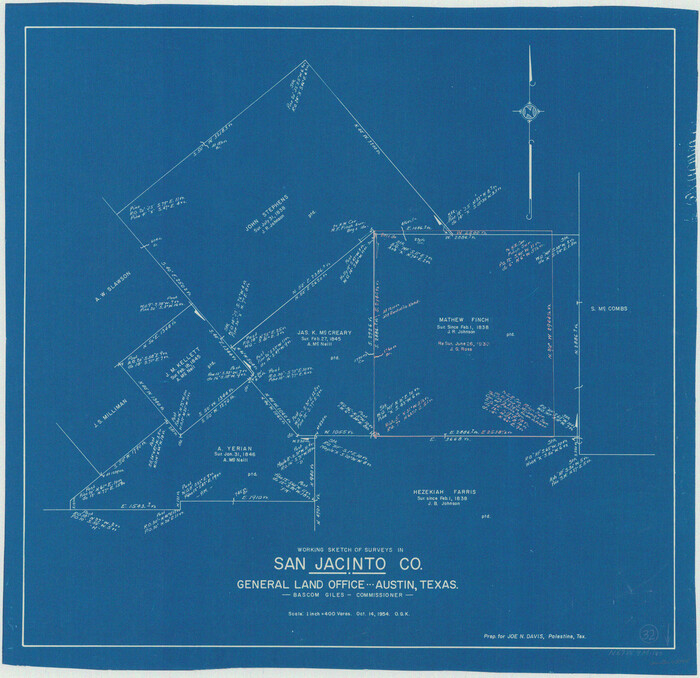

Print $20.00
- Digital $50.00
San Jacinto County Working Sketch 32
1954
Size 24.0 x 24.7 inches
Map/Doc 63745
Map illustrating the general geological features of the country west of the Mississippi River compiled from the surveys of W.H. Emory and from the Pacific Railroad surveys & other sources
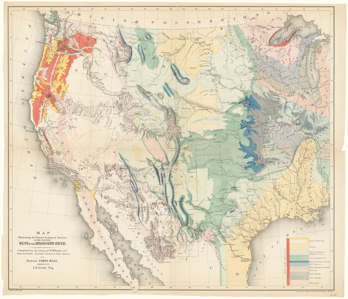

Print $20.00
- Digital $50.00
Map illustrating the general geological features of the country west of the Mississippi River compiled from the surveys of W.H. Emory and from the Pacific Railroad surveys & other sources
Size 21.2 x 24.7 inches
Map/Doc 95172
Flight Mission No. CRC-3R, Frame 15, Chambers County


Print $20.00
- Digital $50.00
Flight Mission No. CRC-3R, Frame 15, Chambers County
1956
Size 18.5 x 22.2 inches
Map/Doc 84789
Shelby County Rolled Sketch 3
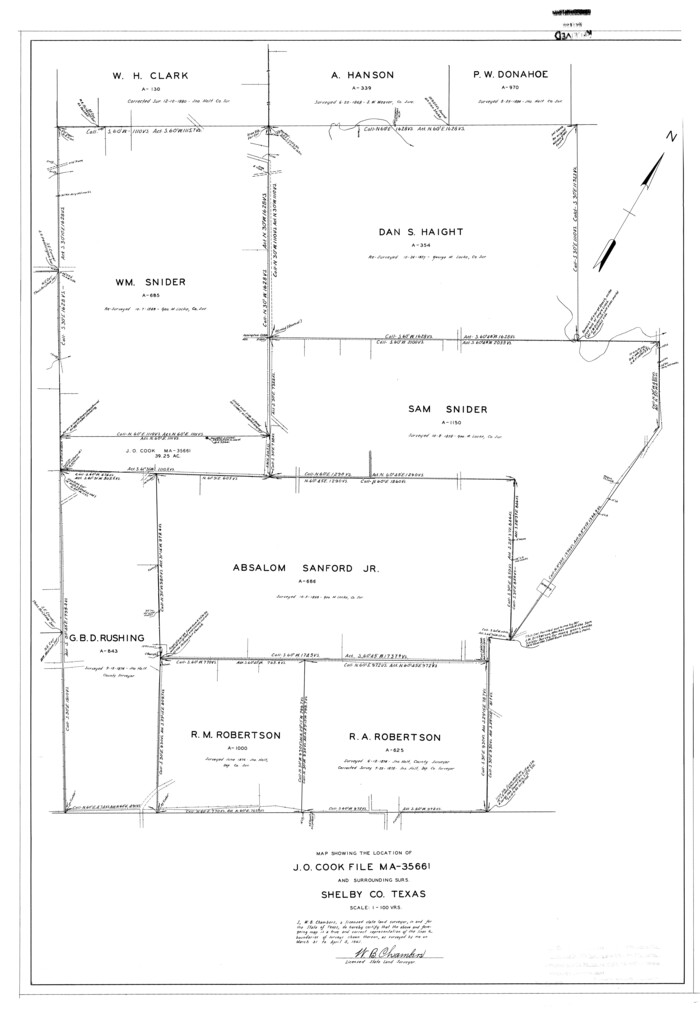

Print $40.00
- Digital $50.00
Shelby County Rolled Sketch 3
Size 54.2 x 37.0 inches
Map/Doc 9919
Southern Pacific Rice Belt
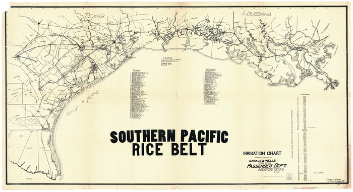

Print $40.00
- Digital $50.00
Southern Pacific Rice Belt
Size 31.6 x 57.9 inches
Map/Doc 96793
Sterling County Sketch File 20


Print $12.00
- Digital $50.00
Sterling County Sketch File 20
1952
Size 11.2 x 8.7 inches
Map/Doc 37173
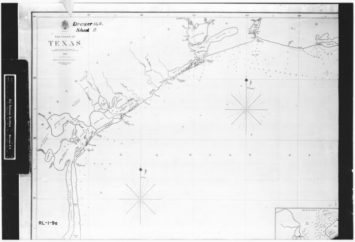
The Coast of Texas

Print $20.00
- Digital $50.00
The Coast of Texas
1844
Size 18.3 x 26.9 inches
Map/Doc 72697
Gaines County Working Sketch 24


Print $20.00
- Digital $50.00
Gaines County Working Sketch 24
1983
Size 36.4 x 37.9 inches
Map/Doc 69324
![91263, [Jas. T. Williams Survey and vicinity], Twichell Survey Records](https://historictexasmaps.com/wmedia_w1800h1800/maps/91263-1.tif.jpg)

![92465, [Muleshoe], Twichell Survey Records](https://historictexasmaps.com/wmedia_w700/maps/92465-1.tif.jpg)