[Leagues 11 and 22]
110-15
-
Map/Doc
91111
-
Collection
Twichell Survey Records
-
Object Dates
6/1925 (Creation Date)
-
Counties
Hockley
-
Height x Width
14.0 x 13.6 inches
35.6 x 34.5 cm
Part of: Twichell Survey Records
Working Sketch Archer County


Print $20.00
- Digital $50.00
Working Sketch Archer County
1924
Size 26.6 x 20.5 inches
Map/Doc 90257
[Pencil sketch showing blocks B17, B20-B28 and surrounding]
![89734, [Pencil sketch showing blocks B17, B20-B28 and surrounding], Twichell Survey Records](https://historictexasmaps.com/wmedia_w700/maps/89734-1.tif.jpg)
![89734, [Pencil sketch showing blocks B17, B20-B28 and surrounding], Twichell Survey Records](https://historictexasmaps.com/wmedia_w700/maps/89734-1.tif.jpg)
Print $40.00
- Digital $50.00
[Pencil sketch showing blocks B17, B20-B28 and surrounding]
Size 58.5 x 40.0 inches
Map/Doc 89734
Subdivision Map of Fisher County School Land situated in Bailey and Cochran Counties, Texas


Print $20.00
- Digital $50.00
Subdivision Map of Fisher County School Land situated in Bailey and Cochran Counties, Texas
1924
Size 17.3 x 21.3 inches
Map/Doc 90111
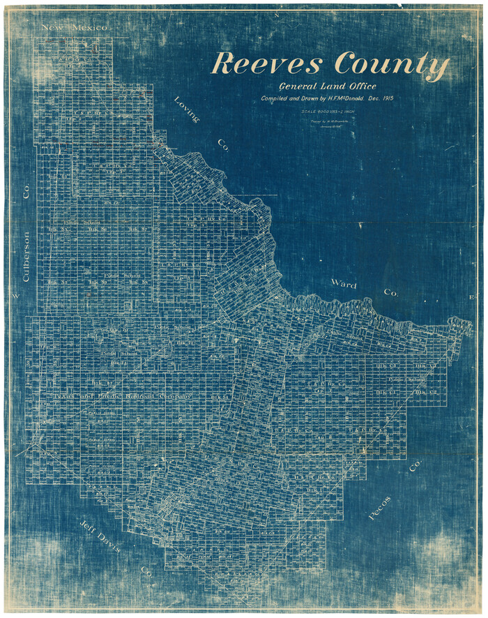
Reeves County

Print $20.00
- Digital $50.00
Reeves County
1915
Size 23.6 x 29.8 inches
Map/Doc 92896
[Sketch of part of G. & M. Block 5, G. & M. Block 4, Block M19 and Block 21W]
![93085, [Sketch of part of G. & M. Block 5, G. & M. Block 4, Block M19 and Block 21W], Twichell Survey Records](https://historictexasmaps.com/wmedia_w700/maps/93085-1.tif.jpg)
![93085, [Sketch of part of G. & M. Block 5, G. & M. Block 4, Block M19 and Block 21W], Twichell Survey Records](https://historictexasmaps.com/wmedia_w700/maps/93085-1.tif.jpg)
Print $20.00
- Digital $50.00
[Sketch of part of G. & M. Block 5, G. & M. Block 4, Block M19 and Block 21W]
Size 23.1 x 17.8 inches
Map/Doc 93085
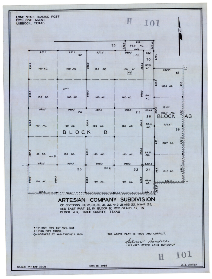
Artesian Company Subdivision

Print $20.00
- Digital $50.00
Artesian Company Subdivision
1955
Size 12.0 x 15.8 inches
Map/Doc 92698
[Block V and surrounding surveys]
![90292, [Block V and surrounding surveys], Twichell Survey Records](https://historictexasmaps.com/wmedia_w700/maps/90292-1.tif.jpg)
![90292, [Block V and surrounding surveys], Twichell Survey Records](https://historictexasmaps.com/wmedia_w700/maps/90292-1.tif.jpg)
Print $3.00
- Digital $50.00
[Block V and surrounding surveys]
Size 11.9 x 12.5 inches
Map/Doc 90292
John Slaughter Ranch


Print $40.00
- Digital $50.00
John Slaughter Ranch
Size 38.0 x 52.7 inches
Map/Doc 89952
[Leagues 67, 69, 70, 71, 72, 73, 75, 76, 719, 732, 733, 734, 735, 27, 28]
![90458, [Leagues 67, 69, 70, 71, 72, 73, 75, 76, 719, 732, 733, 734, 735, 27, 28], Twichell Survey Records](https://historictexasmaps.com/wmedia_w700/maps/90458-1.tif.jpg)
![90458, [Leagues 67, 69, 70, 71, 72, 73, 75, 76, 719, 732, 733, 734, 735, 27, 28], Twichell Survey Records](https://historictexasmaps.com/wmedia_w700/maps/90458-1.tif.jpg)
Print $20.00
- Digital $50.00
[Leagues 67, 69, 70, 71, 72, 73, 75, 76, 719, 732, 733, 734, 735, 27, 28]
Size 20.5 x 15.3 inches
Map/Doc 90458
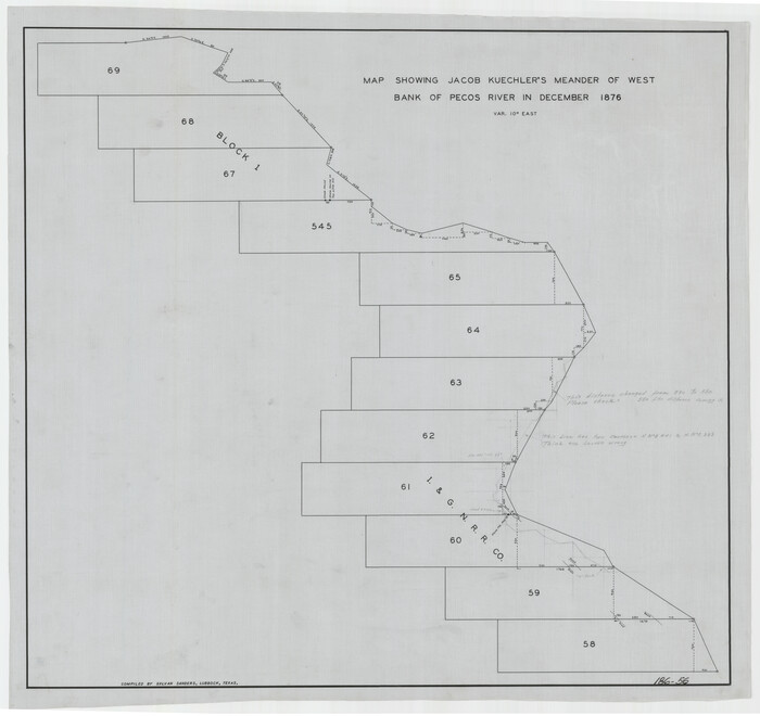
Map Showing Jacob Kuechler's Meander of West Bank of Pecos River in December 1876

Print $20.00
- Digital $50.00
Map Showing Jacob Kuechler's Meander of West Bank of Pecos River in December 1876
Size 18.6 x 17.4 inches
Map/Doc 91669
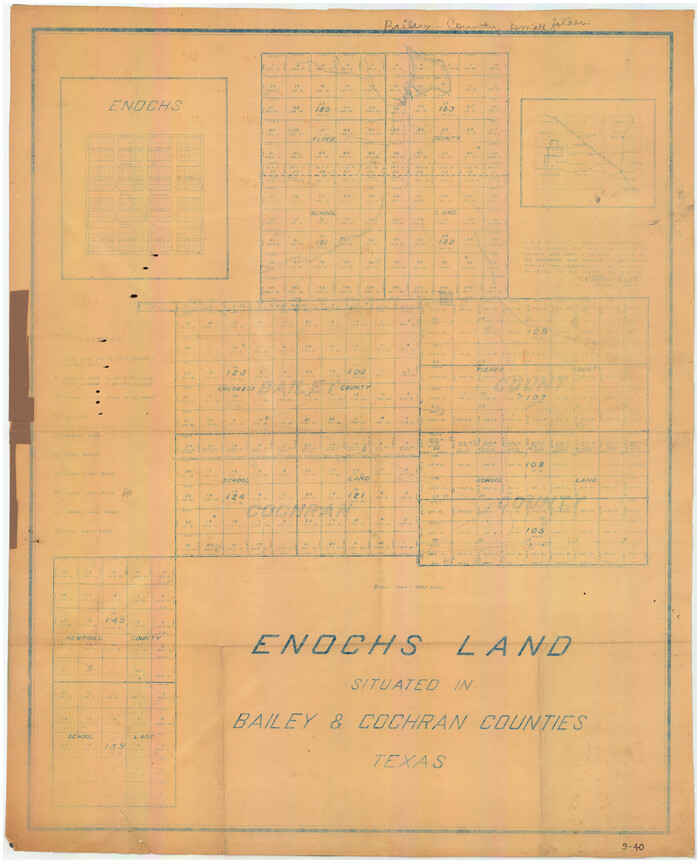
Enochs Land situated in Bailey and Cochran Counties, Texas

Print $20.00
- Digital $50.00
Enochs Land situated in Bailey and Cochran Counties, Texas
Size 28.9 x 35.6 inches
Map/Doc 90194
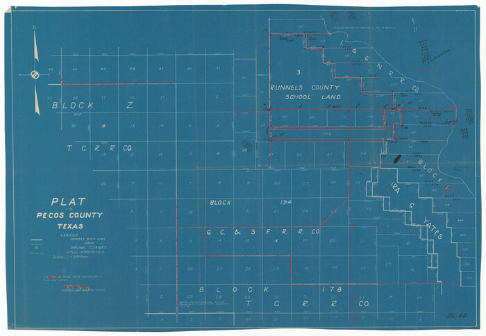
Plat in Pecos County, Texas

Print $20.00
- Digital $50.00
Plat in Pecos County, Texas
Size 21.4 x 14.9 inches
Map/Doc 91673
You may also like
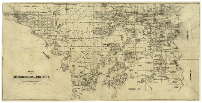
Map of Henderson County

Print $20.00
- Digital $50.00
Map of Henderson County
1871
Size 16.0 x 31.4 inches
Map/Doc 3665
Pecos County Working Sketch 115


Print $40.00
- Digital $50.00
Pecos County Working Sketch 115
1973
Size 54.6 x 31.8 inches
Map/Doc 71588
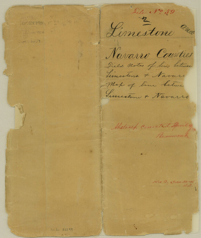
Limestone County Boundary File 59

Print $34.00
- Digital $50.00
Limestone County Boundary File 59
Size 7.4 x 8.7 inches
Map/Doc 56299
San Patricio County Working Sketch 19


Print $20.00
- Digital $50.00
San Patricio County Working Sketch 19
1956
Size 36.1 x 41.3 inches
Map/Doc 63781
Val Verde County Sketch File 49
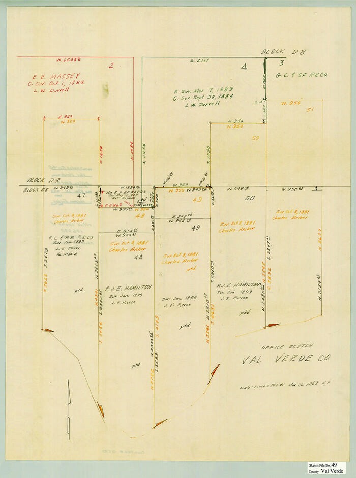

Print $20.00
- Digital $50.00
Val Verde County Sketch File 49
1953
Size 27.1 x 20.2 inches
Map/Doc 12590
Hartley County Sketch File 6


Print $20.00
- Digital $50.00
Hartley County Sketch File 6
Size 30.5 x 25.6 inches
Map/Doc 11698
Dawson County Sketch File 23


Print $4.00
- Digital $50.00
Dawson County Sketch File 23
Size 9.2 x 11.5 inches
Map/Doc 20575
Northern Part of Laguna Madre
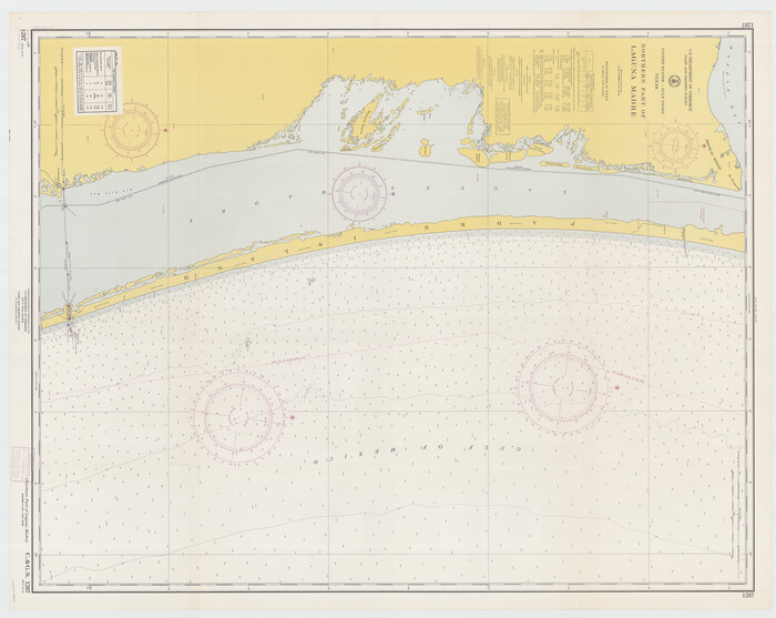

Print $20.00
- Digital $50.00
Northern Part of Laguna Madre
1965
Size 35.2 x 44.2 inches
Map/Doc 73527
Calhoun County Working Sketch 9
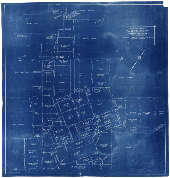

Print $20.00
- Digital $50.00
Calhoun County Working Sketch 9
1948
Size 45.3 x 43.1 inches
Map/Doc 67825
Moore County Working Sketch 9
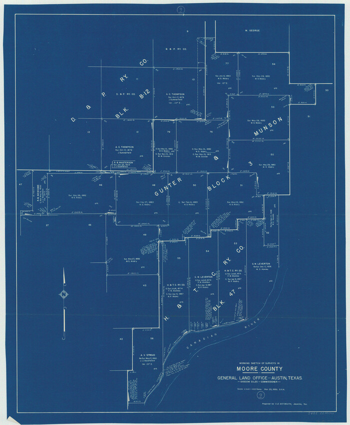

Print $20.00
- Digital $50.00
Moore County Working Sketch 9
1950
Size 38.5 x 31.8 inches
Map/Doc 71191
![91111, [Leagues 11 and 22], Twichell Survey Records](https://historictexasmaps.com/wmedia_w1800h1800/maps/91111-1.tif.jpg)

