[County School Land for Shackelford, Reeves, Hardeman, Val Verde, Hood, Martin, Rusk, Atascosa, and Edwards Counties]
110-22
-
Map/Doc
91100
-
Collection
Twichell Survey Records
-
Counties
Hockley
-
Height x Width
7.5 x 6.4 inches
19.1 x 16.3 cm
Part of: Twichell Survey Records
[Block 3 and part of Block 2]
![90760, [Block 3 and part of Block 2], Twichell Survey Records](https://historictexasmaps.com/wmedia_w700/maps/90760-1.tif.jpg)
![90760, [Block 3 and part of Block 2], Twichell Survey Records](https://historictexasmaps.com/wmedia_w700/maps/90760-1.tif.jpg)
Print $2.00
- Digital $50.00
[Block 3 and part of Block 2]
1882
Size 13.1 x 9.1 inches
Map/Doc 90760
[Block B9 and 3KA]
![90483, [Block B9 and 3KA], Twichell Survey Records](https://historictexasmaps.com/wmedia_w700/maps/90483-1.tif.jpg)
![90483, [Block B9 and 3KA], Twichell Survey Records](https://historictexasmaps.com/wmedia_w700/maps/90483-1.tif.jpg)
Print $20.00
- Digital $50.00
[Block B9 and 3KA]
Size 23.6 x 16.3 inches
Map/Doc 90483
Parkland Place


Print $20.00
- Digital $50.00
Parkland Place
1928
Size 15.9 x 13.0 inches
Map/Doc 92278
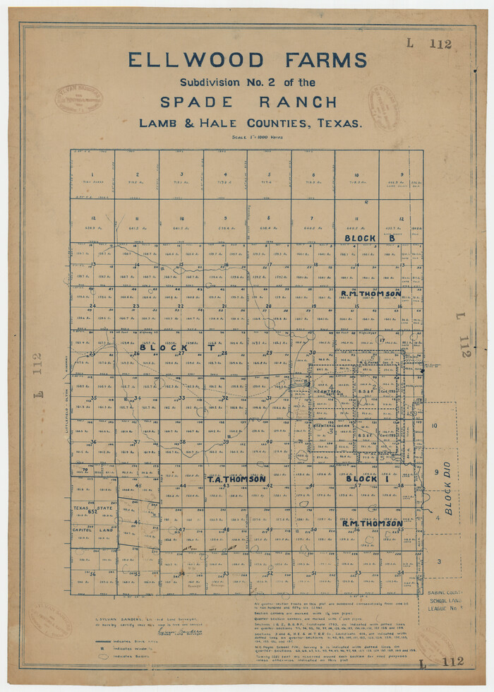
Ellwood Farms Subdivision Number 2 of the Spade Ranch Lamb and Hale Counties, Texas

Print $20.00
- Digital $50.00
Ellwood Farms Subdivision Number 2 of the Spade Ranch Lamb and Hale Counties, Texas
Size 20.9 x 29.1 inches
Map/Doc 92173
[Texas Boundary Line]
![92070, [Texas Boundary Line], Twichell Survey Records](https://historictexasmaps.com/wmedia_w700/maps/92070-1.tif.jpg)
![92070, [Texas Boundary Line], Twichell Survey Records](https://historictexasmaps.com/wmedia_w700/maps/92070-1.tif.jpg)
Print $20.00
- Digital $50.00
[Texas Boundary Line]
Size 21.5 x 12.0 inches
Map/Doc 92070
[Texas and Pacific Blocks 56-62, Townships 1-3]
![90501, [Texas and Pacific Blocks 56-62, Townships 1-3], Twichell Survey Records](https://historictexasmaps.com/wmedia_w700/maps/90501-1.tif.jpg)
![90501, [Texas and Pacific Blocks 56-62, Townships 1-3], Twichell Survey Records](https://historictexasmaps.com/wmedia_w700/maps/90501-1.tif.jpg)
Print $20.00
- Digital $50.00
[Texas and Pacific Blocks 56-62, Townships 1-3]
1885
Size 28.4 x 15.9 inches
Map/Doc 90501
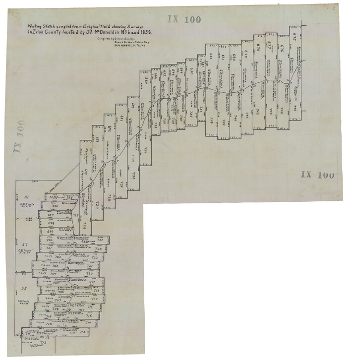
Working Sketch Compiled from Original Field Showing Surveys in Irion County Located by J. A. McDonald in 1856 and 1858

Print $20.00
- Digital $50.00
Working Sketch Compiled from Original Field Showing Surveys in Irion County Located by J. A. McDonald in 1856 and 1858
Size 13.1 x 13.8 inches
Map/Doc 92191
[Stone, Kyle and Kyle Block M6]
![90392, [Stone, Kyle and Kyle Block M6], Twichell Survey Records](https://historictexasmaps.com/wmedia_w700/maps/90392-1.tif.jpg)
![90392, [Stone, Kyle and Kyle Block M6], Twichell Survey Records](https://historictexasmaps.com/wmedia_w700/maps/90392-1.tif.jpg)
Print $3.00
- Digital $50.00
[Stone, Kyle and Kyle Block M6]
Size 11.9 x 15.2 inches
Map/Doc 90392
[Blocks 34-36, Township 3N]
![92028, [Blocks 34-36, Township 3N], Twichell Survey Records](https://historictexasmaps.com/wmedia_w700/maps/92028-1.tif.jpg)
![92028, [Blocks 34-36, Township 3N], Twichell Survey Records](https://historictexasmaps.com/wmedia_w700/maps/92028-1.tif.jpg)
Print $20.00
- Digital $50.00
[Blocks 34-36, Township 3N]
Size 36.5 x 23.7 inches
Map/Doc 92028
[Sketch showing C. W. Dakan, Wm. H. Walker and surrounding surveys]
![90880, [Sketch showing C. W. Dakan, Wm. H. Walker and surrounding surveys], Twichell Survey Records](https://historictexasmaps.com/wmedia_w700/maps/90880-1.tif.jpg)
![90880, [Sketch showing C. W. Dakan, Wm. H. Walker and surrounding surveys], Twichell Survey Records](https://historictexasmaps.com/wmedia_w700/maps/90880-1.tif.jpg)
Print $2.00
- Digital $50.00
[Sketch showing C. W. Dakan, Wm. H. Walker and surrounding surveys]
1919
Size 8.9 x 12.3 inches
Map/Doc 90880
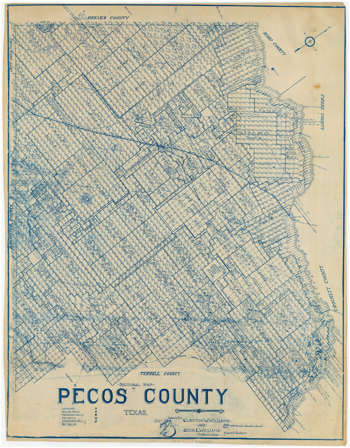
Sectional Map of Pecos County, Texas

Print $20.00
- Digital $50.00
Sectional Map of Pecos County, Texas
1927
Size 36.5 x 46.4 inches
Map/Doc 89878
You may also like
Montgomery County Rolled Sketch 33


Print $40.00
- Digital $50.00
Montgomery County Rolled Sketch 33
1953
Size 48.1 x 39.6 inches
Map/Doc 9541
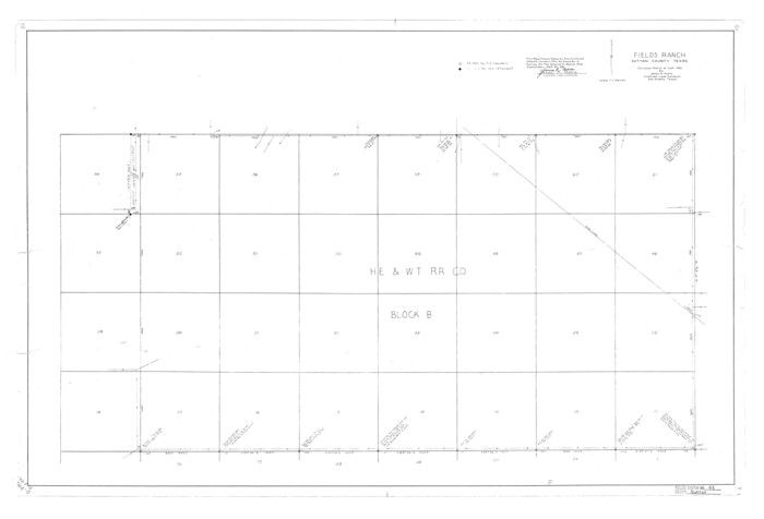
Sutton County Rolled Sketch 44

Print $20.00
- Digital $50.00
Sutton County Rolled Sketch 44
Size 24.6 x 36.1 inches
Map/Doc 7886
DeWitt County Sketch File 7
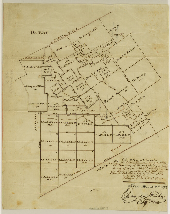

Print $2.00
- Digital $50.00
DeWitt County Sketch File 7
1876
Size 11.3 x 9.0 inches
Map/Doc 20817
Map of the Western Part of Bexar District
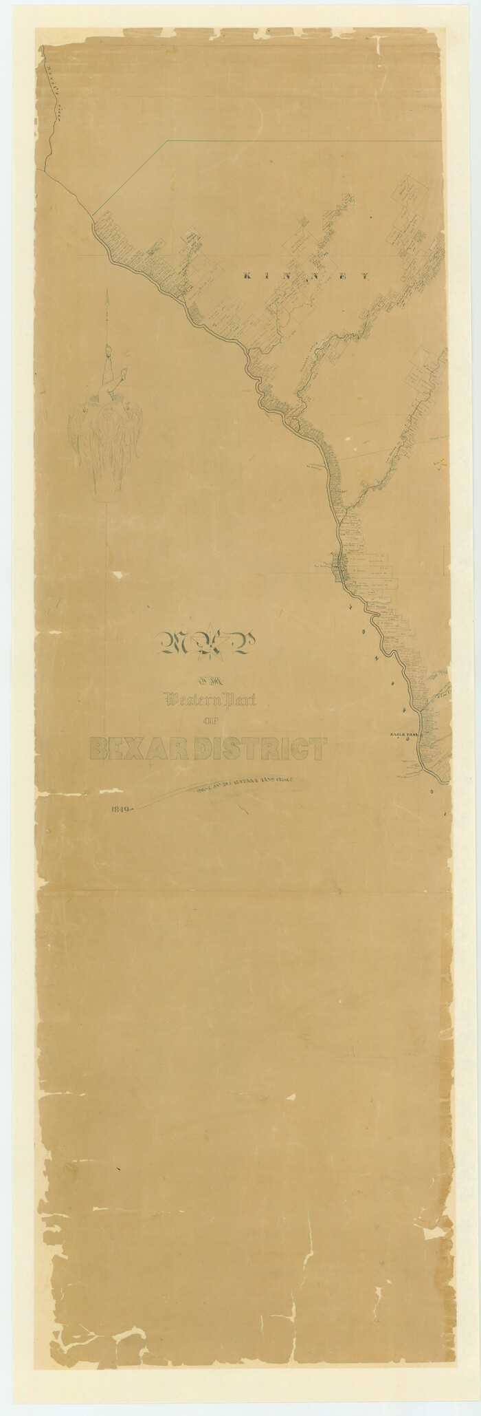

Print $40.00
- Digital $50.00
Map of the Western Part of Bexar District
1849
Size 63.5 x 21.6 inches
Map/Doc 87375
[Township 3 North, Block 33]
![91215, [Township 3 North, Block 33], Twichell Survey Records](https://historictexasmaps.com/wmedia_w700/maps/91215-1.tif.jpg)
![91215, [Township 3 North, Block 33], Twichell Survey Records](https://historictexasmaps.com/wmedia_w700/maps/91215-1.tif.jpg)
Print $3.00
- Digital $50.00
[Township 3 North, Block 33]
Size 11.2 x 17.0 inches
Map/Doc 91215
Flight Mission No. DQO-8K, Frame 22, Galveston County

Print $20.00
- Digital $50.00
Flight Mission No. DQO-8K, Frame 22, Galveston County
1952
Size 18.7 x 22.3 inches
Map/Doc 85145
Right of Way & Track Map Houston & Brazos Valley Ry. operated by Houston & Brazos Valley Ry. Co., Hoskins Mound Branch
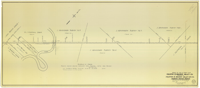

Print $40.00
- Digital $50.00
Right of Way & Track Map Houston & Brazos Valley Ry. operated by Houston & Brazos Valley Ry. Co., Hoskins Mound Branch
1924
Size 25.0 x 56.6 inches
Map/Doc 64610
Flight Mission No. CLL-3N, Frame 3, Willacy County


Print $20.00
- Digital $50.00
Flight Mission No. CLL-3N, Frame 3, Willacy County
1954
Size 18.6 x 22.3 inches
Map/Doc 87069
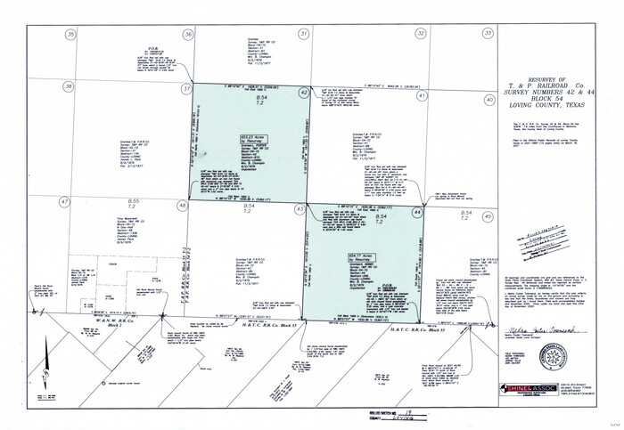
Loving County Rolled Sketch 19

Print $20.00
- Digital $50.00
Loving County Rolled Sketch 19
2020
Size 24.4 x 35.3 inches
Map/Doc 96575
[Texas and Pacific Railway Company, Block 44, Township One South]
![89845, [Texas and Pacific Railway Company, Block 44, Township One South], Twichell Survey Records](https://historictexasmaps.com/wmedia_w700/maps/89845-1.tif.jpg)
![89845, [Texas and Pacific Railway Company, Block 44, Township One South], Twichell Survey Records](https://historictexasmaps.com/wmedia_w700/maps/89845-1.tif.jpg)
Print $40.00
- Digital $50.00
[Texas and Pacific Railway Company, Block 44, Township One South]
Size 42.0 x 59.2 inches
Map/Doc 89845
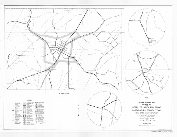
General Highway Map. Detail of Cities and Towns in Nacogdoches County, Texas

Print $20.00
General Highway Map. Detail of Cities and Towns in Nacogdoches County, Texas
1961
Size 19.3 x 25.0 inches
Map/Doc 79608
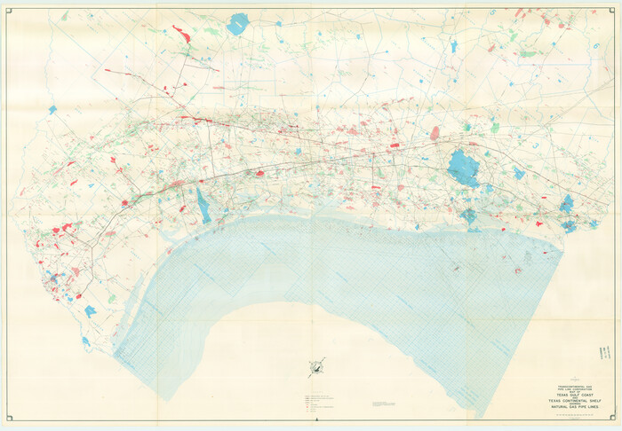
Map of Texas Gulf Coast and Texas Continental Shelf showing Natural Gas Pipe Lines

Print $40.00
- Digital $50.00
Map of Texas Gulf Coast and Texas Continental Shelf showing Natural Gas Pipe Lines
1966
Size 39.6 x 57.0 inches
Map/Doc 75902
![91100, [County School Land for Shackelford, Reeves, Hardeman, Val Verde, Hood, Martin, Rusk, Atascosa, and Edwards Counties], Twichell Survey Records](https://historictexasmaps.com/wmedia_w1800h1800/maps/91100-1.tif.jpg)
![92804, [Block O], Twichell Survey Records](https://historictexasmaps.com/wmedia_w700/maps/92804-1.tif.jpg)