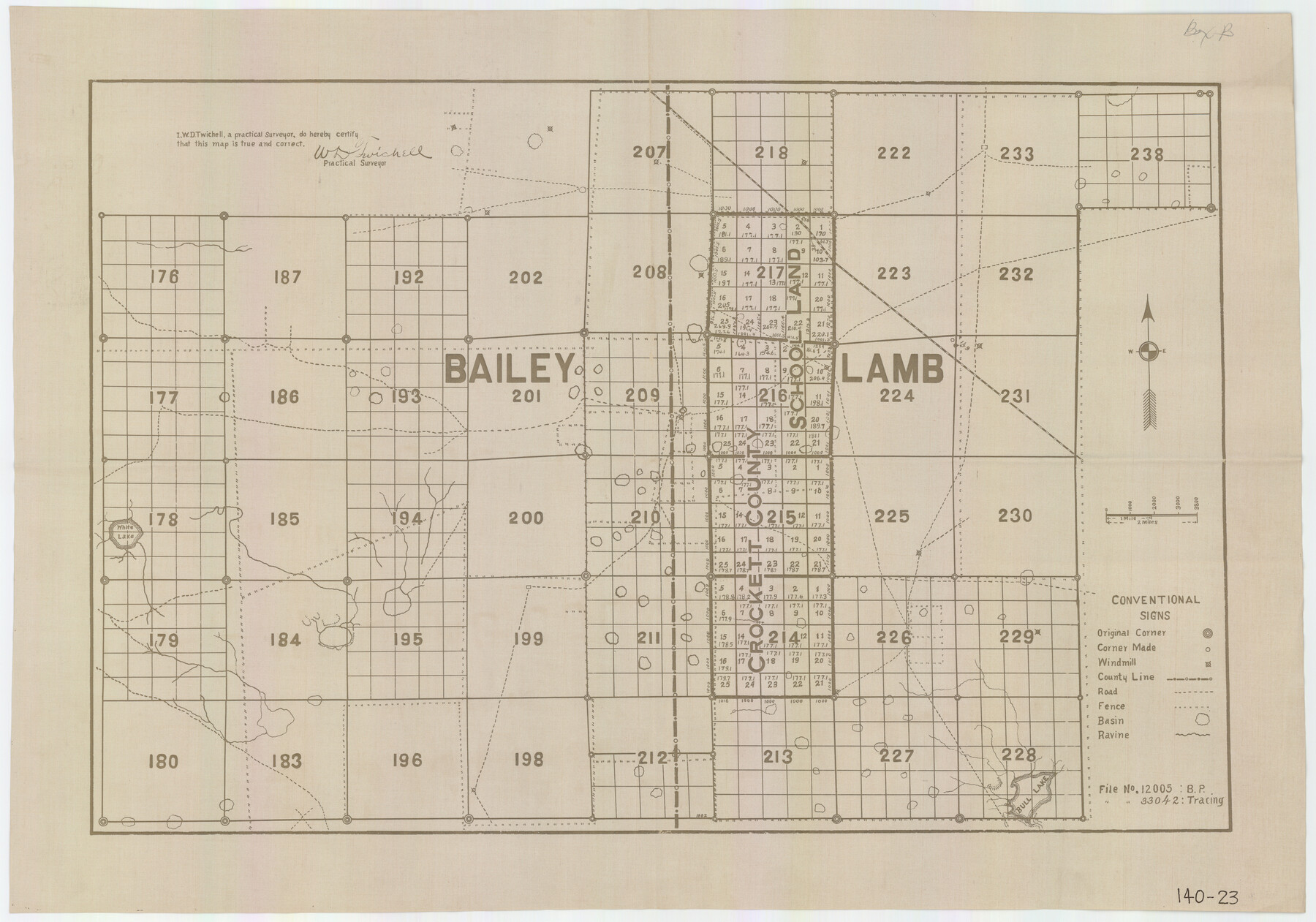
C.C. Slaughter's Running Water Ranch situated in Hale and Lamb Counties
140-23
-
Map/Doc
91050
-
Collection
Twichell Survey Records
-
People and Organizations
W.D. Twichell (Surveyor/Engineer)
-
Counties
Lamb Bailey
-
Height x Width
26.5 x 18.8 inches
67.3 x 47.8 cm
Part of: Twichell Survey Records
McLean, Texas Section 22, Block R

Print $20.00
- Digital $50.00
McLean, Texas Section 22, Block R
Size 16.0 x 16.1 inches
Map/Doc 90721
Sketch in Crockett County, Texas

Print $20.00
- Digital $50.00
Sketch in Crockett County, Texas
1924
Size 34.4 x 47.8 inches
Map/Doc 92606
Part of Roberts County, construction of survey lines copied from official map in use in General Land Office

Print $20.00
- Digital $50.00
Part of Roberts County, construction of survey lines copied from official map in use in General Land Office
1923
Size 12.7 x 19.3 inches
Map/Doc 91773
[H. &GN Blk. 2, HGN Blk. 1, I, S]
![93212, [H. &GN Blk. 2, HGN Blk. 1, I, S], Twichell Survey Records](https://historictexasmaps.com/wmedia_w700/maps/93212-1.tif.jpg)
Print $40.00
- Digital $50.00
[H. &GN Blk. 2, HGN Blk. 1, I, S]
Size 84.0 x 53.3 inches
Map/Doc 93212
[Surveys Adjacent to W. D. Twichell's near Palo Pinto Creek]
![92101, [Surveys Adjacent to W. D. Twichell's near Palo Pinto Creek], Twichell Survey Records](https://historictexasmaps.com/wmedia_w700/maps/92101-1.tif.jpg)
Print $2.00
- Digital $50.00
[Surveys Adjacent to W. D. Twichell's near Palo Pinto Creek]
Size 8.4 x 6.6 inches
Map/Doc 92101
Sketch in Crockett County [UT Blk. 31, 32, 46, 51, Blks. UV, ST, QR, MN]
![89677, Sketch in Crockett County [UT Blk. 31, 32, 46, 51, Blks. UV, ST, QR, MN], Twichell Survey Records](https://historictexasmaps.com/wmedia_w700/maps/89677-1.tif.jpg)
Print $40.00
- Digital $50.00
Sketch in Crockett County [UT Blk. 31, 32, 46, 51, Blks. UV, ST, QR, MN]
1913
Size 33.7 x 48.0 inches
Map/Doc 89677
Map Showing Present Owners on the Elizabeth Standifer, James Standifer, Jacob Standifer, C. A. West and William Standifer Original Surveys in Bastrop County, Texas

Print $20.00
- Digital $50.00
Map Showing Present Owners on the Elizabeth Standifer, James Standifer, Jacob Standifer, C. A. West and William Standifer Original Surveys in Bastrop County, Texas
1915
Size 22.2 x 31.5 inches
Map/Doc 90152
[Tie line from Northeast Block 36, Township 5N to Northwest corner Block M]
![90559, [Tie line from Northeast Block 36, Township 5N to Northwest corner Block M], Twichell Survey Records](https://historictexasmaps.com/wmedia_w700/maps/90559-1.tif.jpg)
Print $20.00
- Digital $50.00
[Tie line from Northeast Block 36, Township 5N to Northwest corner Block M]
Size 22.3 x 10.3 inches
Map/Doc 90559
[Sections 61-63, I. & G. N. Block 1 and sections 33 and 34, Block 194]
![91643, [Sections 61-63, I. & G. N. Block 1 and sections 33 and 34, Block 194], Twichell Survey Records](https://historictexasmaps.com/wmedia_w700/maps/91643-1.tif.jpg)
Print $20.00
- Digital $50.00
[Sections 61-63, I. & G. N. Block 1 and sections 33 and 34, Block 194]
Size 17.3 x 25.4 inches
Map/Doc 91643
[E. L. & R. R. RR. Blks. 9 & 10]
![90123, [E. L. & R. R. RR. Blks. 9 & 10], Twichell Survey Records](https://historictexasmaps.com/wmedia_w700/maps/90123-1.tif.jpg)
Print $2.00
- Digital $50.00
[E. L. & R. R. RR. Blks. 9 & 10]
Size 8.7 x 11.3 inches
Map/Doc 90123
[Sketch showing the Northwest part of Hale County and the Northeast part of Lamb County]
![93205, [Sketch showing the Northwest part of Hale County and the Northeast part of Lamb County], Twichell Survey Records](https://historictexasmaps.com/wmedia_w700/maps/93205-1.tif.jpg)
Print $40.00
- Digital $50.00
[Sketch showing the Northwest part of Hale County and the Northeast part of Lamb County]
Size 55.3 x 56.7 inches
Map/Doc 93205
The T. B. Duggan Subdivision of League 125 and N 3/5 of League 126, Coke County School Lands, Cochran County, Texas

Print $20.00
- Digital $50.00
The T. B. Duggan Subdivision of League 125 and N 3/5 of League 126, Coke County School Lands, Cochran County, Texas
1920
Size 14.9 x 21.5 inches
Map/Doc 90300
You may also like
Map of Cherokee County, Texas

Print $20.00
- Digital $50.00
Map of Cherokee County, Texas
1879
Size 30.8 x 24.0 inches
Map/Doc 696
Flight Mission No. DAG-14K, Frame 131, Matagorda County

Print $20.00
- Digital $50.00
Flight Mission No. DAG-14K, Frame 131, Matagorda County
1952
Size 18.5 x 22.3 inches
Map/Doc 86302
Brewster County Rolled Sketch 22F

Print $20.00
- Digital $50.00
Brewster County Rolled Sketch 22F
1909
Size 19.0 x 25.4 inches
Map/Doc 5206
Flight Mission No. DAG-17K, Frame 125, Matagorda County

Print $20.00
- Digital $50.00
Flight Mission No. DAG-17K, Frame 125, Matagorda County
1952
Size 18.6 x 22.4 inches
Map/Doc 86345
Dallas County Working Sketch 11

Print $20.00
- Digital $50.00
Dallas County Working Sketch 11
1982
Size 32.2 x 23.1 inches
Map/Doc 68577

Clay County Working Sketch 5

Print $20.00
- Digital $50.00
Clay County Working Sketch 5
1923
Size 41.2 x 35.9 inches
Map/Doc 68028
Archer County Sketch File 7

Print $6.00
- Digital $50.00
Archer County Sketch File 7
Size 8.8 x 11.8 inches
Map/Doc 13636
Vandelia Village an Addition to the City of Lubbock, a Subdivision of Southeast Quarter, Section 3, Block E

Print $20.00
- Digital $50.00
Vandelia Village an Addition to the City of Lubbock, a Subdivision of Southeast Quarter, Section 3, Block E
1950
Size 29.6 x 36.0 inches
Map/Doc 92725
Harris County Working Sketch 60

Print $20.00
- Digital $50.00
Harris County Working Sketch 60
1953
Size 31.8 x 35.2 inches
Map/Doc 65952
Harris County Boundary File 39 (11)

Print $8.00
- Digital $50.00
Harris County Boundary File 39 (11)
Size 12.8 x 8.0 inches
Map/Doc 54335
Grimes County

Print $20.00
- Digital $50.00
Grimes County
1922
Size 47.0 x 29.8 inches
Map/Doc 73164