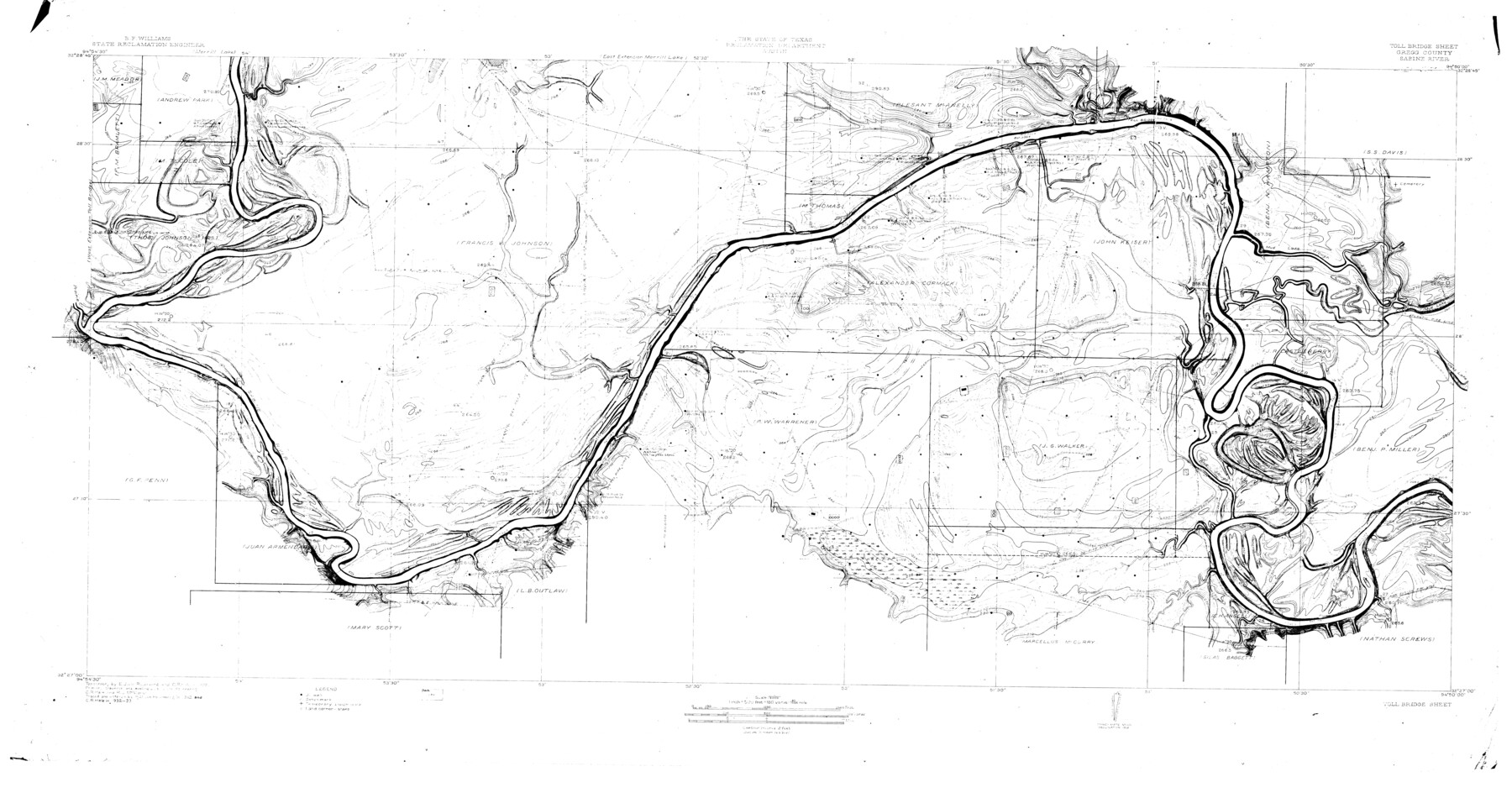
Gregg County Rolled Sketch 25
Toll Bridge Sheet, Gregg County, Sabine River
-
Map/Doc
9076
-
Collection
General Map Collection
-
Object Dates
1933 (Creation Date)
10/9/1974 (File Date)
-
People and Organizations
Reclamation Department (Publisher)
E.J. von Rosenberg (Draftsman)
C.R. Hale (Draftsman)
H.U. von Rosenberg (Draftsman)
-
Counties
Gregg
-
Subjects
Surveying Rolled Sketch
-
Height x Width
27.3 x 51.7 inches
69.3 x 131.3 cm
Part of: General Map Collection
Map Showing Proposed System of State Highways

Print $5.00
- Digital $50.00
Map Showing Proposed System of State Highways
1917
Size 26.2 x 27.2 inches
Map/Doc 93717
Tanglewood, Station Map-Tracks & Structures-Lands, San Antonio & Aransas Pass Railway Co., Station 4804+179 to Station 4856+179

Print $4.00
- Digital $50.00
Tanglewood, Station Map-Tracks & Structures-Lands, San Antonio & Aransas Pass Railway Co., Station 4804+179 to Station 4856+179
1919
Size 11.7 x 18.6 inches
Map/Doc 62569
Map of Padre Island Showing Location of Zoning Districts

Print $20.00
- Digital $50.00
Map of Padre Island Showing Location of Zoning Districts
1971
Size 18.7 x 26.6 inches
Map/Doc 4808
Flight Mission No. DQN-2K, Frame 24, Calhoun County

Print $20.00
- Digital $50.00
Flight Mission No. DQN-2K, Frame 24, Calhoun County
1953
Size 18.6 x 22.2 inches
Map/Doc 84231
Flight Mission No. DIX-3P, Frame 133, Aransas County

Print $20.00
- Digital $50.00
Flight Mission No. DIX-3P, Frame 133, Aransas County
1956
Size 17.8 x 21.1 inches
Map/Doc 83763
DeWitt County Working Sketch Graphic Index

Print $20.00
- Digital $50.00
DeWitt County Working Sketch Graphic Index
1920
Size 39.7 x 46.7 inches
Map/Doc 76522
Travis County Working Sketch 20

Print $20.00
- Digital $50.00
Travis County Working Sketch 20
1945
Size 28.5 x 31.9 inches
Map/Doc 69404
Frio County Sketch File 21

Print $20.00
- Digital $50.00
Frio County Sketch File 21
1938
Size 23.4 x 24.3 inches
Map/Doc 11520
Shackelford County Working Sketch 15

Print $20.00
- Digital $50.00
Shackelford County Working Sketch 15
2012
Size 28.4 x 20.7 inches
Map/Doc 93321
Cameron County Sketch File 7a

Print $32.00
- Digital $50.00
Cameron County Sketch File 7a
1982
Size 11.2 x 8.4 inches
Map/Doc 17115
Flight Mission No. DIX-6P, Frame 111, Aransas County

Print $20.00
- Digital $50.00
Flight Mission No. DIX-6P, Frame 111, Aransas County
1956
Size 18.9 x 22.6 inches
Map/Doc 83817
Colorado River, Taiton Sheet

Print $6.00
- Digital $50.00
Colorado River, Taiton Sheet
1941
Size 24.4 x 32.8 inches
Map/Doc 65311
You may also like
Map of Grimes County

Print $20.00
- Digital $50.00
Map of Grimes County
1881
Size 29.9 x 16.3 inches
Map/Doc 3606
Map of Survey 8, Block 1, D.B. Gardner

Print $20.00
- Digital $50.00
Map of Survey 8, Block 1, D.B. Gardner
1915
Size 13.0 x 18.8 inches
Map/Doc 10763
Webb County Working Sketch 32

Print $20.00
- Digital $50.00
Webb County Working Sketch 32
1937
Size 34.5 x 36.0 inches
Map/Doc 72397
Trinity County Working Sketch 21

Print $20.00
- Digital $50.00
Trinity County Working Sketch 21
1992
Size 23.1 x 23.1 inches
Map/Doc 69470
Sketch of coast of Texas, Laguna Madre from Pt. of Rocks to Corpus Christi [and accompanying letter]
![72964, Sketch of coast of Texas, Laguna Madre from Pt. of Rocks to Corpus Christi [and accompanying letter], General Map Collection](https://historictexasmaps.com/wmedia_w700/maps/72964.tif.jpg)
Print $2.00
- Digital $50.00
Sketch of coast of Texas, Laguna Madre from Pt. of Rocks to Corpus Christi [and accompanying letter]
Size 11.2 x 8.8 inches
Map/Doc 72964
Gregg County Rolled Sketch 26

Print $40.00
- Digital $50.00
Gregg County Rolled Sketch 26
1937
Size 25.8 x 129.0 inches
Map/Doc 9077
Travis County Working Sketch Graphic Index - south part

Print $40.00
- Digital $50.00
Travis County Working Sketch Graphic Index - south part
1936
Size 42.6 x 52.8 inches
Map/Doc 76716
Flight Mission No. CGI-3N, Frame 73, Cameron County

Print $20.00
- Digital $50.00
Flight Mission No. CGI-3N, Frame 73, Cameron County
1954
Size 18.4 x 22.4 inches
Map/Doc 84567
Rio Grande Rectification Project, El Paso and Juarez Valley

Print $20.00
- Digital $50.00
Rio Grande Rectification Project, El Paso and Juarez Valley
1935
Size 10.8 x 29.6 inches
Map/Doc 60872
Qvarte Partie Dv Monde

Print $20.00
- Digital $50.00
Qvarte Partie Dv Monde
1575
Size 15.3 x 18.9 inches
Map/Doc 93806
Dallas County Boundary File 6a

Print $36.00
- Digital $50.00
Dallas County Boundary File 6a
Size 14.0 x 8.6 inches
Map/Doc 52189
Dimmit County Rolled Sketch 23

Print $20.00
- Digital $50.00
Dimmit County Rolled Sketch 23
2015
Size 18.1 x 24.3 inches
Map/Doc 93792