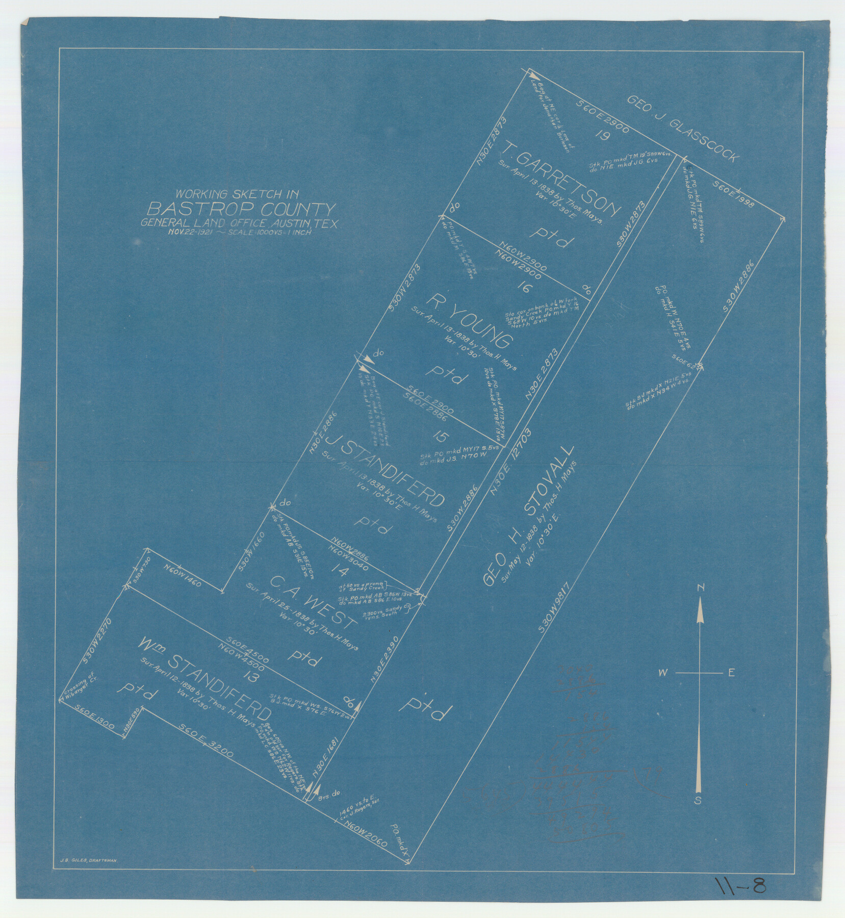
Working Sketch in Bastrop County
11-8
-
Map/Doc
90233
-
Collection
Twichell Survey Records
-
Object Dates
11/22/1921 (Creation Date)
-
People and Organizations
J.B. Giles (Draftsman)
-
Counties
Bastrop
-
Height x Width
14.3 x 15.6 inches
36.3 x 39.6 cm
Part of: Twichell Survey Records
[Sketch showing B. S. & F. survey 9, sections 162, 163, 178, 179 in town of Bush]
![91728, [Sketch showing B. S. & F. survey 9, sections 162, 163, 178, 179 in town of Bush], Twichell Survey Records](https://historictexasmaps.com/wmedia_w700/maps/91728-1.tif.jpg)
Print $20.00
- Digital $50.00
[Sketch showing B. S. & F. survey 9, sections 162, 163, 178, 179 in town of Bush]
Size 12.0 x 16.1 inches
Map/Doc 91728
[W. T. Brewer: M. McDonald, Ralph Gilpin, A. Vanhooser, John Baker, John R. Taylor Surveys]
![90964, [W. T. Brewer: M. McDonald, Ralph Gilpin, A. Vanhooser, John Baker, John R. Taylor Surveys], Twichell Survey Records](https://historictexasmaps.com/wmedia_w700/maps/90964-1.tif.jpg)
Print $2.00
- Digital $50.00
[W. T. Brewer: M. McDonald, Ralph Gilpin, A. Vanhooser, John Baker, John R. Taylor Surveys]
Size 8.8 x 11.3 inches
Map/Doc 90964
[Sketch from Paul McCombs Map of 1884, showing T. & P. Township 5, Block 60, Township 6, Block 59, and Township 7, Blocks 59 and 60]
![91774, [Sketch from Paul McCombs Map of 1884, showing T. & P. Township 5, Block 60, Township 6, Block 59, and Township 7, Blocks 59 and 60], Twichell Survey Records](https://historictexasmaps.com/wmedia_w700/maps/91774-1.tif.jpg)
Print $2.00
- Digital $50.00
[Sketch from Paul McCombs Map of 1884, showing T. & P. Township 5, Block 60, Township 6, Block 59, and Township 7, Blocks 59 and 60]
Size 9.2 x 15.0 inches
Map/Doc 91774
[Pencil sketch showing various surveys south and along Holiday Creek]
![89978, [Pencil sketch showing various surveys south and along Holiday Creek], Twichell Survey Records](https://historictexasmaps.com/wmedia_w700/maps/89978-1.tif.jpg)
Print $20.00
- Digital $50.00
[Pencil sketch showing various surveys south and along Holiday Creek]
Size 28.3 x 18.8 inches
Map/Doc 89978
[Points along west and north lines of county]
![90401, [Points along west and north lines of county], Twichell Survey Records](https://historictexasmaps.com/wmedia_w700/maps/90401-1.tif.jpg)
Print $20.00
- Digital $50.00
[Points along west and north lines of county]
Size 14.7 x 19.3 inches
Map/Doc 90401
[T. & P. Blocks 43-44, Townships 1S, 2S and 1N]
![90830, [T. & P. Blocks 43-44, Townships 1S, 2S and 1N], Twichell Survey Records](https://historictexasmaps.com/wmedia_w700/maps/90830-2.tif.jpg)
Print $20.00
- Digital $50.00
[T. & P. Blocks 43-44, Townships 1S, 2S and 1N]
Size 18.8 x 22.6 inches
Map/Doc 90830
County School Lands

Print $3.00
- Digital $50.00
County School Lands
1913
Size 10.4 x 14.2 inches
Map/Doc 90450
[E. T. RR. Block 1]
![93186, [E. T. RR. Block 1], Twichell Survey Records](https://historictexasmaps.com/wmedia_w700/maps/93186-1.tif.jpg)
Print $40.00
- Digital $50.00
[E. T. RR. Block 1]
Size 69.6 x 52.7 inches
Map/Doc 93186
Working Sketch in Falls and Limestone Counties

Print $20.00
- Digital $50.00
Working Sketch in Falls and Limestone Counties
1922
Size 15.9 x 34.8 inches
Map/Doc 91088
De Loache's Subdivision County School Leagues Hockley County, Texas

Print $20.00
- Digital $50.00
De Loache's Subdivision County School Leagues Hockley County, Texas
1924
Size 38.6 x 36.8 inches
Map/Doc 92235
Martin County Sketch

Print $20.00
- Digital $50.00
Martin County Sketch
1924
Size 14.3 x 17.2 inches
Map/Doc 92269
League 206 Ochiltree County School Land

Print $20.00
- Digital $50.00
League 206 Ochiltree County School Land
Size 24.0 x 19.5 inches
Map/Doc 92481
You may also like
Map of Presidio County, Texas

Print $40.00
- Digital $50.00
Map of Presidio County, Texas
Size 42.7 x 82.1 inches
Map/Doc 82050
[Tie Line, Zavala County School Land to North Line of Block D11, East and South to Double Lakes Corner]
![91868, [Tie Line, Zavala County School Land to North Line of Block D11, East and South to Double Lakes Corner], Twichell Survey Records](https://historictexasmaps.com/wmedia_w700/maps/91868-1.tif.jpg)
Print $20.00
- Digital $50.00
[Tie Line, Zavala County School Land to North Line of Block D11, East and South to Double Lakes Corner]
1900
Size 18.5 x 12.6 inches
Map/Doc 91868
Val Verde County Rolled Sketch ECS

Print $20.00
- Digital $50.00
Val Verde County Rolled Sketch ECS
1935
Size 45.6 x 35.6 inches
Map/Doc 10079
Garza County Rolled Sketch 6B

Print $20.00
- Digital $50.00
Garza County Rolled Sketch 6B
Size 27.6 x 36.4 inches
Map/Doc 5996
[Block V and surrounding surveys]
![90292, [Block V and surrounding surveys], Twichell Survey Records](https://historictexasmaps.com/wmedia_w700/maps/90292-1.tif.jpg)
Print $3.00
- Digital $50.00
[Block V and surrounding surveys]
Size 11.9 x 12.5 inches
Map/Doc 90292
Brewster County Sketch File NS-4f

Print $8.00
- Digital $50.00
Brewster County Sketch File NS-4f
Size 8.9 x 11.3 inches
Map/Doc 15977
Reports of Wm. H. Bourland and James B. Miller, Commissioners to Investigate Land Titles West of the Nueces

Reports of Wm. H. Bourland and James B. Miller, Commissioners to Investigate Land Titles West of the Nueces
1850
Size 17.2 x 12.9 inches
Map/Doc 94259
[Southeast Yoakum County, Southwest Terry County and North Gaines County]
![91876, [Southeast Yoakum County, Southwest Terry County and North Gaines County], Twichell Survey Records](https://historictexasmaps.com/wmedia_w700/maps/91876-1.tif.jpg)
Print $20.00
- Digital $50.00
[Southeast Yoakum County, Southwest Terry County and North Gaines County]
Size 20.7 x 16.6 inches
Map/Doc 91876
Coke County Working Sketch 26

Print $20.00
- Digital $50.00
Coke County Working Sketch 26
1961
Size 29.1 x 31.2 inches
Map/Doc 68063
Upton County Sketch File 22

Print $4.00
- Digital $50.00
Upton County Sketch File 22
1927
Size 11.2 x 8.5 inches
Map/Doc 38877
General Highway Map, Coke County, Texas

Print $20.00
General Highway Map, Coke County, Texas
1961
Size 18.2 x 24.7 inches
Map/Doc 79411
Flight Mission No. CRK-3P, Frame 176, Refugio County

Print $20.00
- Digital $50.00
Flight Mission No. CRK-3P, Frame 176, Refugio County
1956
Size 18.3 x 22.2 inches
Map/Doc 86923