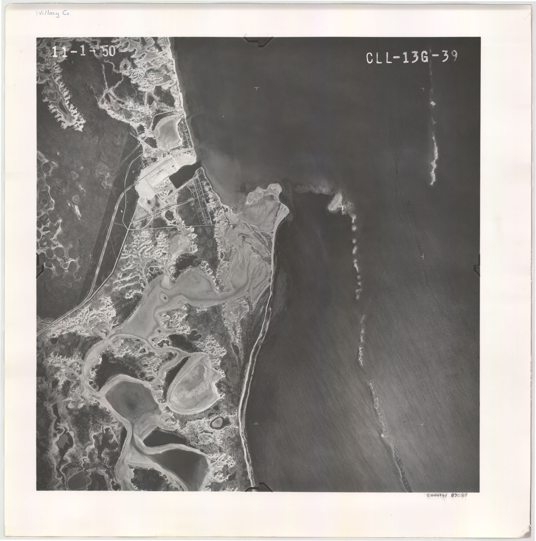
Flight Mission No. CLL-13G, Frame 39, Willacy County
CLL-13G-39
-
Map/Doc
87089
-
Collection
General Map Collection
-
Object Dates
1950/11/1 (Creation Date)
-
People and Organizations
U. S. Department of Agriculture (Publisher)
-
Counties
Willacy
-
Subjects
Aerial Photograph
-
Height x Width
18.4 x 18.2 inches
46.7 x 46.2 cm
Part of: General Map Collection
Hale County Sketch File 16

Print $4.00
- Digital $50.00
Hale County Sketch File 16
1888
Size 12.8 x 8.2 inches
Map/Doc 24747
Rusk County Sketch File 27B

Print $20.00
Rusk County Sketch File 27B
1936
Size 15.4 x 19.9 inches
Map/Doc 12273
Duval County Rolled Sketch 37

Print $20.00
- Digital $50.00
Duval County Rolled Sketch 37
1952
Size 29.2 x 24.6 inches
Map/Doc 5753
Aransas County Working Sketch Graphic Index

Print $20.00
- Digital $50.00
Aransas County Working Sketch Graphic Index
1947
Size 36.8 x 36.6 inches
Map/Doc 76455
Van Zandt County Working Sketch 9

Print $20.00
- Digital $50.00
Van Zandt County Working Sketch 9
1982
Size 12.6 x 11.7 inches
Map/Doc 72259
Kimble County Working Sketch 70

Print $20.00
- Digital $50.00
Kimble County Working Sketch 70
1965
Size 41.2 x 25.3 inches
Map/Doc 70138
Gregg County Working Sketch 19

Print $20.00
- Digital $50.00
Gregg County Working Sketch 19
1957
Size 31.7 x 37.3 inches
Map/Doc 63286
Menard County Boundary File 4

Print $12.00
- Digital $50.00
Menard County Boundary File 4
Size 10.9 x 8.6 inches
Map/Doc 57076
Map of Texas and part of New Mexico compiled in the Bureau of Topographl. Engrs. chiefly for military purposes

Print $20.00
- Digital $50.00
Map of Texas and part of New Mexico compiled in the Bureau of Topographl. Engrs. chiefly for military purposes
1857
Size 18.8 x 24.8 inches
Map/Doc 97116
[Surveys in Vehlein's Colony along Long King's Creek]
![83, [Surveys in Vehlein's Colony along Long King's Creek], General Map Collection](https://historictexasmaps.com/wmedia_w700/maps/83.tif.jpg)
Print $20.00
- Digital $50.00
[Surveys in Vehlein's Colony along Long King's Creek]
Size 13.3 x 19.0 inches
Map/Doc 83
Coleman County Sketch File 32

Print $4.00
- Digital $50.00
Coleman County Sketch File 32
Size 12.8 x 8.4 inches
Map/Doc 18723
Flight Mission No. DCL-7C, Frame 70, Kenedy County

Print $20.00
- Digital $50.00
Flight Mission No. DCL-7C, Frame 70, Kenedy County
1943
Size 15.4 x 15.3 inches
Map/Doc 86056
You may also like
Crockett County Working Sketch 23

Print $20.00
- Digital $50.00
Crockett County Working Sketch 23
1919
Size 35.1 x 33.7 inches
Map/Doc 68356
Flight Mission No. BRA-6M, Frame 93, Jefferson County

Print $20.00
- Digital $50.00
Flight Mission No. BRA-6M, Frame 93, Jefferson County
1953
Size 18.7 x 22.4 inches
Map/Doc 85436
Webb County Sketch File 49

Print $20.00
- Digital $50.00
Webb County Sketch File 49
1939
Size 20.7 x 21.5 inches
Map/Doc 12647
Baylor County Boundary File 11

Print $26.00
- Digital $50.00
Baylor County Boundary File 11
Size 11.1 x 8.7 inches
Map/Doc 50419
San Luis Pass to East Matagorda Bay

Print $20.00
- Digital $50.00
San Luis Pass to East Matagorda Bay
1957
Size 34.9 x 46.9 inches
Map/Doc 69962
Flight Mission No. BRA-7M, Frame 12, Jefferson County

Print $20.00
- Digital $50.00
Flight Mission No. BRA-7M, Frame 12, Jefferson County
1953
Size 18.5 x 22.3 inches
Map/Doc 85463
El Paso County Boundary File 6

Print $14.00
- Digital $50.00
El Paso County Boundary File 6
Size 14.0 x 8.8 inches
Map/Doc 53080
University Land Loving-Ward-Winkler Counties

Print $40.00
- Digital $50.00
University Land Loving-Ward-Winkler Counties
1931
Size 47.9 x 63.2 inches
Map/Doc 2415

Titus County Working Sketch 8

Print $20.00
- Digital $50.00
Titus County Working Sketch 8
1974
Size 17.6 x 29.3 inches
Map/Doc 69369
Lampasas County Boundary File 16

Print $14.00
- Digital $50.00
Lampasas County Boundary File 16
Size 8.9 x 8.2 inches
Map/Doc 56216
Parker County Rolled Sketch 7

Print $20.00
- Digital $50.00
Parker County Rolled Sketch 7
Size 24.5 x 19.1 inches
Map/Doc 89050