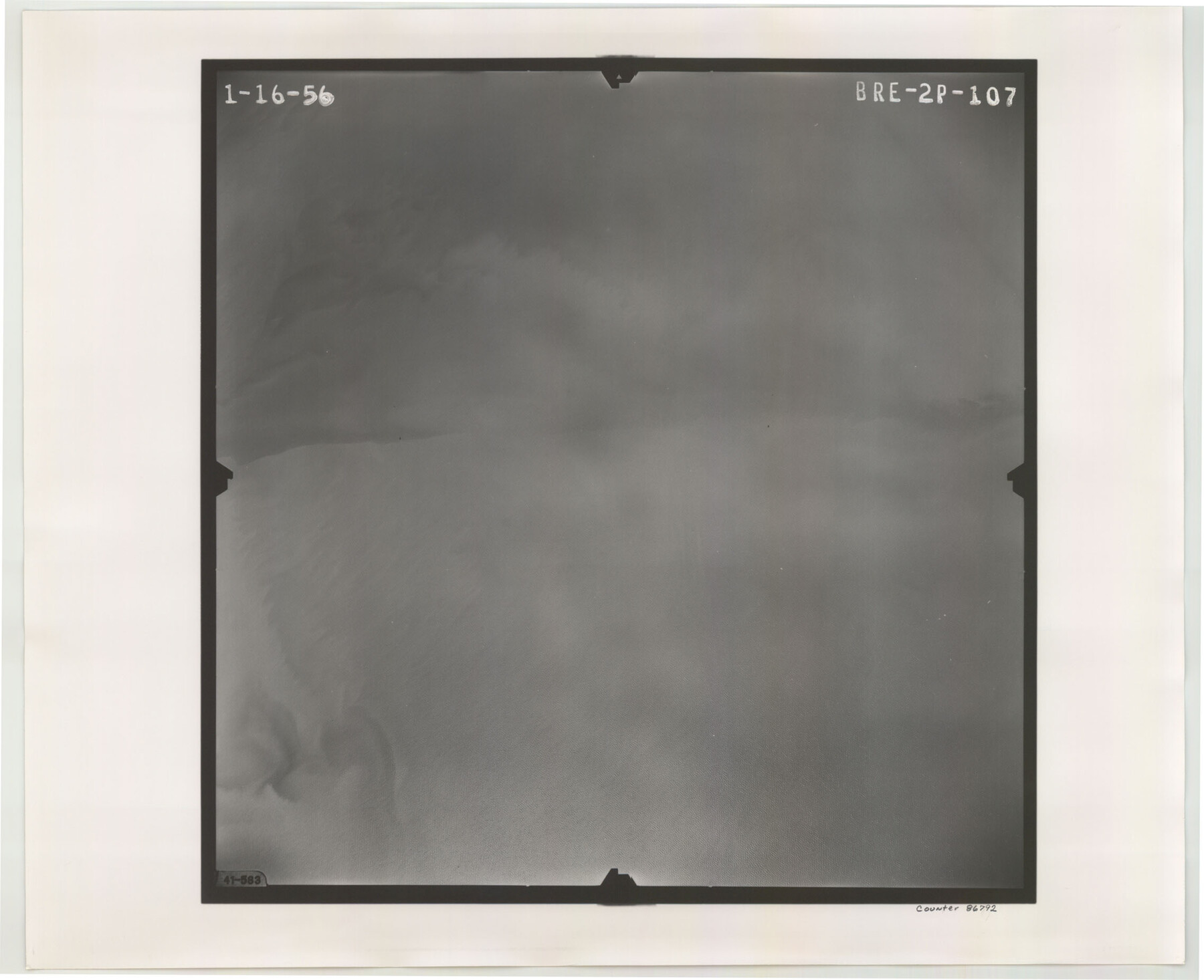
Flight Mission No. BRE-2P, Frame 107, Nueces County
BRE-2P-107
-
Map/Doc
86792
-
Collection
General Map Collection
-
Object Dates
1956/1/16 (Creation Date)
-
People and Organizations
U. S. Department of Agriculture (Publisher)
-
Counties
Nueces
-
Subjects
Aerial Photograph
-
Height x Width
18.5 x 22.7 inches
47.0 x 57.7 cm
-
Comments
Flown by V. L. Beavers and Associates of San Antonio, Texas.
Part of: General Map Collection
San Jacinto County Sketch File 22

Print $136.00
San Jacinto County Sketch File 22
1935
Size 11.3 x 8.7 inches
Map/Doc 35734
Flight Mission No. BQR-4K, Frame 65, Brazoria County

Print $20.00
- Digital $50.00
Flight Mission No. BQR-4K, Frame 65, Brazoria County
1952
Size 18.5 x 22.3 inches
Map/Doc 83998
Stonewall County Working Sketch 25

Print $20.00
- Digital $50.00
Stonewall County Working Sketch 25
1973
Size 29.5 x 23.4 inches
Map/Doc 62332
Victoria County Boundary File 91

Print $12.00
- Digital $50.00
Victoria County Boundary File 91
Size 8.9 x 6.5 inches
Map/Doc 59620
Hamilton County Working Sketch 24

Print $20.00
- Digital $50.00
Hamilton County Working Sketch 24
1979
Size 34.7 x 33.6 inches
Map/Doc 63362
Cottle County Sketch File 10

Print $20.00
- Digital $50.00
Cottle County Sketch File 10
Size 15.7 x 23.1 inches
Map/Doc 11193
[Galveston, Harrisburg & San Antonio Railroad from Cuero to Stockdale]
![64199, [Galveston, Harrisburg & San Antonio Railroad from Cuero to Stockdale], General Map Collection](https://historictexasmaps.com/wmedia_w700/maps/64199.tif.jpg)
Print $20.00
- Digital $50.00
[Galveston, Harrisburg & San Antonio Railroad from Cuero to Stockdale]
1907
Size 12.9 x 33.2 inches
Map/Doc 64199
Marion County Working Sketch 19

Print $20.00
- Digital $50.00
Marion County Working Sketch 19
1958
Size 29.0 x 23.6 inches
Map/Doc 70795
Cooke County Sketch File 16-17-18

Print $16.00
- Digital $50.00
Cooke County Sketch File 16-17-18
1860
Size 12.7 x 8.1 inches
Map/Doc 19252
San Augustine County Sketch File 6

Print $4.00
San Augustine County Sketch File 6
1858
Size 6.4 x 7.7 inches
Map/Doc 35644
Crosby County Boundary File 1

Print $20.00
- Digital $50.00
Crosby County Boundary File 1
Size 7.4 x 4.1 inches
Map/Doc 51971
Wise County Working Sketch 29

Print $20.00
- Digital $50.00
Wise County Working Sketch 29
1997
Size 22.3 x 26.8 inches
Map/Doc 72643
You may also like
Terrell County Working Sketch 6

Print $20.00
- Digital $50.00
Terrell County Working Sketch 6
1914
Size 15.7 x 21.9 inches
Map/Doc 62155
Zapata County Working Sketch 12

Print $20.00
- Digital $50.00
Zapata County Working Sketch 12
1960
Size 30.8 x 24.4 inches
Map/Doc 62063
Haskell County

Print $20.00
- Digital $50.00
Haskell County
1933
Size 41.7 x 36.2 inches
Map/Doc 77307
Flight Mission No. DCL-6C, Frame 47, Kenedy County

Print $20.00
- Digital $50.00
Flight Mission No. DCL-6C, Frame 47, Kenedy County
1943
Size 18.7 x 22.4 inches
Map/Doc 85889
Harris County Working Sketch 77

Print $20.00
- Digital $50.00
Harris County Working Sketch 77
1967
Size 28.6 x 24.0 inches
Map/Doc 65969
Oldham County

Print $40.00
- Digital $50.00
Oldham County
1925
Size 43.6 x 53.5 inches
Map/Doc 66960
Polk County Working Sketch 36

Print $20.00
- Digital $50.00
Polk County Working Sketch 36
1963
Size 28.4 x 38.1 inches
Map/Doc 71653
General Highway Map, Matagorda County, Texas

Print $20.00
General Highway Map, Matagorda County, Texas
1961
Size 24.7 x 18.2 inches
Map/Doc 79586
Flight Mission No. CLL-3N, Frame 12, Willacy County

Print $20.00
- Digital $50.00
Flight Mission No. CLL-3N, Frame 12, Willacy County
1954
Size 18.4 x 22.0 inches
Map/Doc 87078
Val Verde County Working Sketch 17

Print $20.00
- Digital $50.00
Val Verde County Working Sketch 17
1926
Size 16.5 x 27.8 inches
Map/Doc 72152
Edwards County Sketch File 26

Print $4.00
- Digital $50.00
Edwards County Sketch File 26
1910
Size 11.5 x 9.2 inches
Map/Doc 21753
Castro County

Print $20.00
- Digital $50.00
Castro County
1884
Size 12.6 x 16.1 inches
Map/Doc 90396