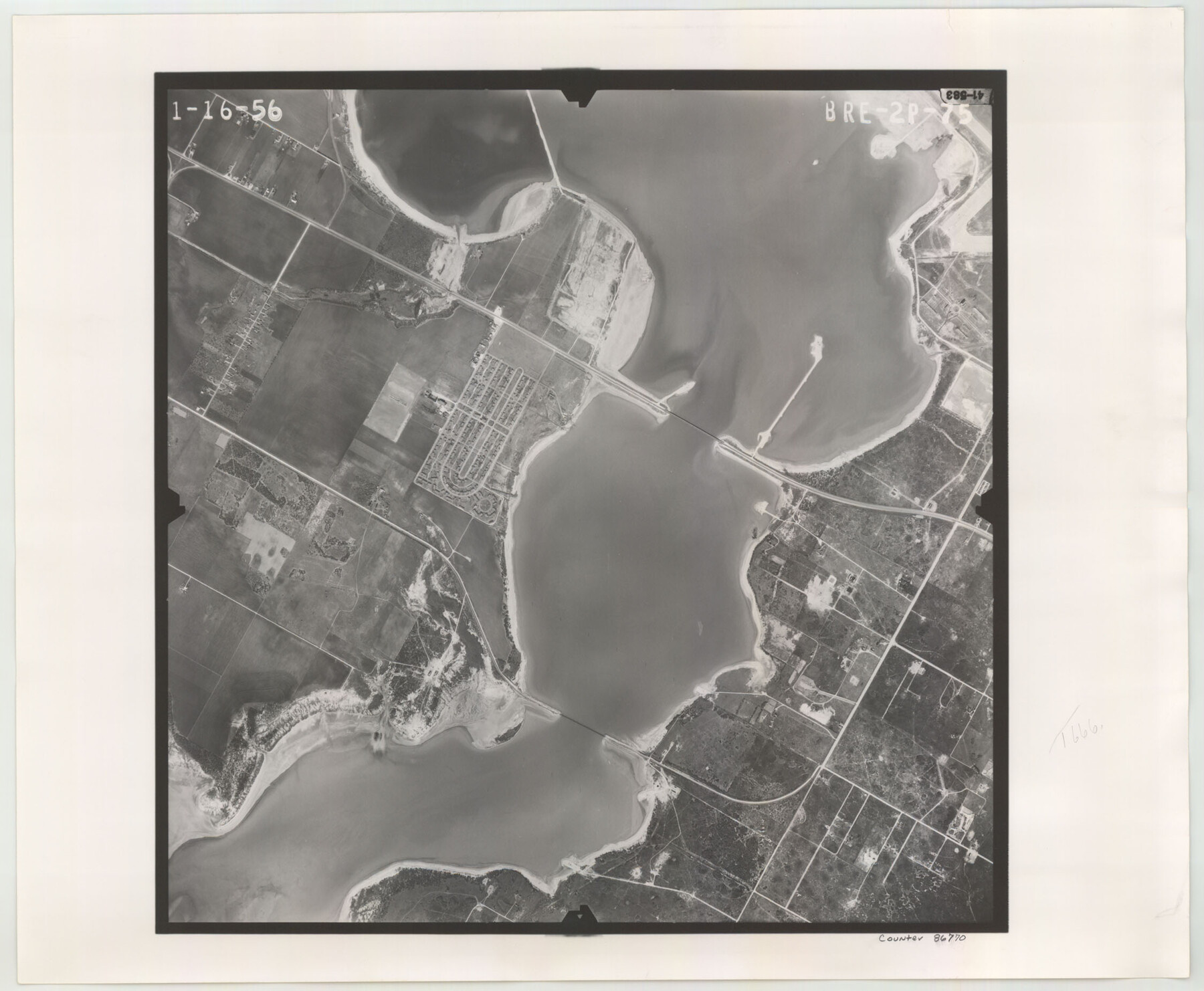
Flight Mission No. BRE-2P, Frame 75, Nueces County
BRE-2P-75
-
Map/Doc
86770
-
Collection
General Map Collection
-
Object Dates
1956/1/16 (Creation Date)
-
People and Organizations
U. S. Department of Agriculture (Publisher)
-
Counties
Nueces
-
Subjects
Aerial Photograph
-
Height x Width
18.5 x 22.5 inches
47.0 x 57.2 cm
-
Comments
Flown by V. L. Beavers and Associates of San Antonio, Texas.
Part of: General Map Collection
Pecos County Rolled Sketch 65

Print $20.00
- Digital $50.00
Pecos County Rolled Sketch 65
1928
Size 37.9 x 33.8 inches
Map/Doc 9699
Haskell County

Print $20.00
- Digital $50.00
Haskell County
1933
Size 41.7 x 36.2 inches
Map/Doc 77307
Sutton County Rolled Sketch 71

Print $20.00
- Digital $50.00
Sutton County Rolled Sketch 71
Size 23.1 x 35.3 inches
Map/Doc 83760
Atascosa County Sketch File 27

Print $42.00
- Digital $50.00
Atascosa County Sketch File 27
Size 8.7 x 8.3 inches
Map/Doc 13796
Collingsworth County Sketch File 7

Print $10.00
- Digital $50.00
Collingsworth County Sketch File 7
1915
Size 11.4 x 9.0 inches
Map/Doc 18884
Red River County Sketch File A

Print $40.00
- Digital $50.00
Red River County Sketch File A
1900
Size 20.1 x 23.8 inches
Map/Doc 12236
Runnels County Sketch File 23

Print $20.00
Runnels County Sketch File 23
1924
Size 21.2 x 19.9 inches
Map/Doc 12257
Pecos County Working Sketch 110

Print $40.00
- Digital $50.00
Pecos County Working Sketch 110
1972
Size 32.3 x 50.6 inches
Map/Doc 71583
Flight Mission No. DQN-2K, Frame 65, Calhoun County

Print $20.00
- Digital $50.00
Flight Mission No. DQN-2K, Frame 65, Calhoun County
1953
Size 18.5 x 22.2 inches
Map/Doc 84257
Floyd County Sketch File A

Print $4.00
- Digital $50.00
Floyd County Sketch File A
1893
Size 9.0 x 11.3 inches
Map/Doc 22684
Texas, Mexico and part of the United States compiled from the latest and best authorities

Print $20.00
- Digital $50.00
Texas, Mexico and part of the United States compiled from the latest and best authorities
1836
Size 9.1 x 11.0 inches
Map/Doc 95958
Brazos River, East Waco Sheet

Print $6.00
- Digital $50.00
Brazos River, East Waco Sheet
1928
Size 31.6 x 25.9 inches
Map/Doc 65283
You may also like
Hamilton County Working Sketch 36

Print $40.00
- Digital $50.00
Hamilton County Working Sketch 36
2008
Size 36.9 x 57.3 inches
Map/Doc 88996

Shelby County Working Sketch 29b

Print $20.00
- Digital $50.00
Shelby County Working Sketch 29b
2000
Size 25.2 x 37.8 inches
Map/Doc 63884
Nueces County Rolled Sketch 126 A-G

Print $22.00
- Digital $50.00
Nueces County Rolled Sketch 126 A-G
1998
Size 11.3 x 8.8 inches
Map/Doc 8962
Railroad Track Map, H&TCRRCo., Falls County, Texas

Print $4.00
- Digital $50.00
Railroad Track Map, H&TCRRCo., Falls County, Texas
1918
Size 11.7 x 18.5 inches
Map/Doc 62861
Flight Mission No. DCL-6C, Frame 180, Kenedy County

Print $20.00
- Digital $50.00
Flight Mission No. DCL-6C, Frame 180, Kenedy County
1943
Size 18.5 x 22.4 inches
Map/Doc 85992
Clay County Working Sketch 6

Print $20.00
- Digital $50.00
Clay County Working Sketch 6
1923
Size 30.0 x 24.1 inches
Map/Doc 68029
Coke County Working Sketch 18

Print $20.00
- Digital $50.00
Coke County Working Sketch 18
1948
Size 47.0 x 39.6 inches
Map/Doc 68055
Hopkins County Sketch File 16a

Print $4.00
- Digital $50.00
Hopkins County Sketch File 16a
Size 12.1 x 7.6 inches
Map/Doc 26715

Nueces County Rolled Sketch 76

Print $20.00
- Digital $50.00
Nueces County Rolled Sketch 76
1981
Size 18.3 x 23.6 inches
Map/Doc 6937
Jefferson County Working Sketch 10

Print $40.00
- Digital $50.00
Jefferson County Working Sketch 10
1942
Size 35.0 x 49.4 inches
Map/Doc 66553