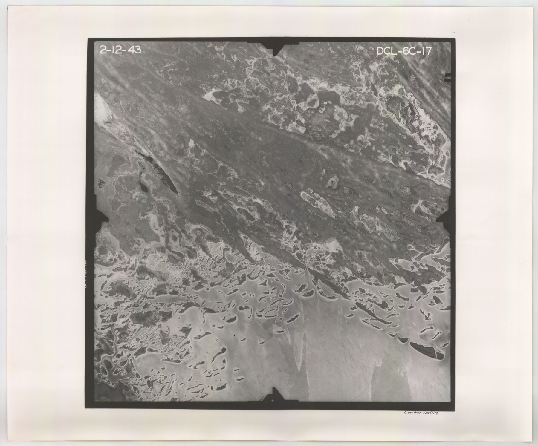
Flight Mission No. DCL-6C, Frame 17, Kenedy County
DCL-6C-17
-
Map/Doc
85874
-
Collection
General Map Collection
-
Object Dates
1943/2/12 (Creation Date)
-
People and Organizations
U. S. Department of Agriculture (Publisher)
-
Counties
Kenedy
-
Subjects
Aerial Photograph
-
Height x Width
18.6 x 22.4 inches
47.2 x 56.9 cm
-
Comments
Flown by Aerial Surveys of Pittsburgh, Inc. of Pittsburgh, Pennsylvania.
Part of: General Map Collection
Liberty County Sketch File 64

Print $4.00
- Digital $50.00
Liberty County Sketch File 64
1873
Size 9.9 x 7.9 inches
Map/Doc 30126

Borden County

Print $20.00
- Digital $50.00
Borden County
1922
Size 44.7 x 38.7 inches
Map/Doc 66718
Motley County

Print $20.00
- Digital $50.00
Motley County
1914
Size 47.0 x 37.7 inches
Map/Doc 66946
Wilbarger County Working Sketch 15

Print $20.00
- Digital $50.00
Wilbarger County Working Sketch 15
1955
Size 32.5 x 25.5 inches
Map/Doc 72553

Tarrant County

Print $20.00
- Digital $50.00
Tarrant County
1856
Size 22.1 x 19.3 inches
Map/Doc 4068
[Map of Tom Green County]
![82061, [Map of Tom Green County], General Map Collection](https://historictexasmaps.com/wmedia_w700/maps/82061.tif.jpg)
Print $40.00
- Digital $50.00
[Map of Tom Green County]
1933
Size 50.0 x 60.6 inches
Map/Doc 82061
El Paso County Rolled Sketch 2A

Print $20.00
- Digital $50.00
El Paso County Rolled Sketch 2A
1889
Size 24.1 x 32.8 inches
Map/Doc 5821
Flight Mission No. DQO-1K, Frame 114, Galveston County

Print $20.00
- Digital $50.00
Flight Mission No. DQO-1K, Frame 114, Galveston County
1952
Size 18.8 x 22.5 inches
Map/Doc 84992
Wilson County Rolled Sketch 4

Print $20.00
- Digital $50.00
Wilson County Rolled Sketch 4
Size 27.1 x 29.6 inches
Map/Doc 8370
Hood County Working Sketch 10

Print $20.00
- Digital $50.00
Hood County Working Sketch 10
1974
Size 26.7 x 35.6 inches
Map/Doc 66204
You may also like
Presidio County Rolled Sketch 4

Print $2.00
- Digital $50.00
Presidio County Rolled Sketch 4
Size 10.1 x 6.3 inches
Map/Doc 75984
El Paso County Rolled Sketch 54

Print $20.00
- Digital $50.00
El Paso County Rolled Sketch 54
1980
Size 30.4 x 42.8 inches
Map/Doc 44539
United States - Gulf Coast - From Latitude 26° 33' to the Rio Grande Texas

Print $20.00
- Digital $50.00
United States - Gulf Coast - From Latitude 26° 33' to the Rio Grande Texas
1913
Size 18.5 x 27.6 inches
Map/Doc 72841
[Pencil sketch of Wm. Rivers survey]
![91968, [Pencil sketch of Wm. Rivers survey], Twichell Survey Records](https://historictexasmaps.com/wmedia_w700/maps/91968-1.tif.jpg)
Print $3.00
- Digital $50.00
[Pencil sketch of Wm. Rivers survey]
Size 10.1 x 16.5 inches
Map/Doc 91968
Donley County Sketch File 24

Print $2.00
- Digital $50.00
Donley County Sketch File 24
Size 9.0 x 11.4 inches
Map/Doc 21260
Brooks County Boundary File 1c

Print $40.00
- Digital $50.00
Brooks County Boundary File 1c
Size 63.4 x 6.7 inches
Map/Doc 50838
Concho County Sketch File 17

Print $20.00
- Digital $50.00
Concho County Sketch File 17
1896
Size 10.2 x 20.9 inches
Map/Doc 11152
Montgomery County Rolled Sketch 38A

Print $40.00
- Digital $50.00
Montgomery County Rolled Sketch 38A
1962
Size 25.1 x 54.7 inches
Map/Doc 9546
Flight Mission No. BRA-7M, Frame 207, Jefferson County

Print $20.00
- Digital $50.00
Flight Mission No. BRA-7M, Frame 207, Jefferson County
1953
Size 18.6 x 22.3 inches
Map/Doc 85575
Mitchell County

Print $20.00
- Digital $50.00
Mitchell County
1971
Size 42.6 x 36.0 inches
Map/Doc 73242
Loving County Rolled Sketch 2

Print $40.00
- Digital $50.00
Loving County Rolled Sketch 2
1952
Size 42.4 x 70.4 inches
Map/Doc 9462
Sketch of the route from the camp on the Concho River to Phantom Hill, Texas

Print $20.00
- Digital $50.00
Sketch of the route from the camp on the Concho River to Phantom Hill, Texas
1852
Size 30.0 x 11.9 inches
Map/Doc 2005