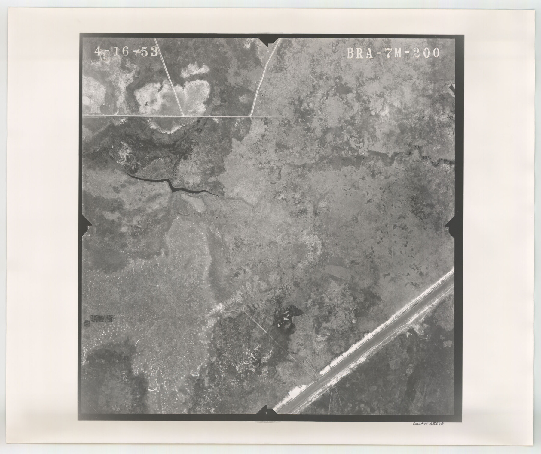
Flight Mission No. BRA-7M, Frame 200, Jefferson County
BRA-7M-200
-
Map/Doc
85568
-
Collection
General Map Collection
-
Object Dates
1953/4/16 (Creation Date)
-
People and Organizations
U. S. Department of Agriculture (Publisher)
-
Counties
Jefferson
-
Subjects
Aerial Photograph
-
Height x Width
18.8 x 22.4 inches
47.8 x 56.9 cm
-
Comments
Flown by Jack Ammann Photogrammetric Engineers of San Antonio, Texas.
Part of: General Map Collection
Cass County Rolled Sketch OPD

Print $20.00
- Digital $50.00
Cass County Rolled Sketch OPD
1936
Size 29.4 x 25.1 inches
Map/Doc 5483
Flight Mission No. BQR-9K, Frame 13, Brazoria County

Print $20.00
- Digital $50.00
Flight Mission No. BQR-9K, Frame 13, Brazoria County
1952
Size 19.0 x 22.6 inches
Map/Doc 84042
Schleicher County Rolled Sketch 19

Print $20.00
- Digital $50.00
Schleicher County Rolled Sketch 19
Size 25.0 x 21.9 inches
Map/Doc 7761
Controlled Mosaic by Jack Amman Photogrammetric Engineers, Inc - Sheet 26

Print $20.00
- Digital $50.00
Controlled Mosaic by Jack Amman Photogrammetric Engineers, Inc - Sheet 26
1954
Size 20.0 x 24.0 inches
Map/Doc 83477
Winkler County Working Sketch 11

Print $40.00
- Digital $50.00
Winkler County Working Sketch 11
1960
Size 28.5 x 81.4 inches
Map/Doc 72605
Kimble County Working Sketch 83

Print $20.00
- Digital $50.00
Kimble County Working Sketch 83
1971
Size 31.3 x 31.1 inches
Map/Doc 70151
Burleson County Working Sketch 31

Print $40.00
- Digital $50.00
Burleson County Working Sketch 31
1981
Size 70.6 x 37.8 inches
Map/Doc 67750
Runnels County Working Sketch 16

Print $20.00
- Digital $50.00
Runnels County Working Sketch 16
1950
Size 30.1 x 35.5 inches
Map/Doc 63612
Crane County Working Sketch Graphic Index, Sheet A

Print $20.00
- Digital $50.00
Crane County Working Sketch Graphic Index, Sheet A
1945
Size 44.6 x 33.3 inches
Map/Doc 76507
Galveston County Rolled Sketch 41

Print $20.00
- Digital $50.00
Galveston County Rolled Sketch 41
1988
Size 23.1 x 37.0 inches
Map/Doc 5972
Flight Mission No. DQO-7K, Frame 76, Galveston County

Print $20.00
- Digital $50.00
Flight Mission No. DQO-7K, Frame 76, Galveston County
1952
Size 18.8 x 22.5 inches
Map/Doc 85103
Matagorda County NRC Article 33.136 Sketch 3

Print $20.00
- Digital $50.00
Matagorda County NRC Article 33.136 Sketch 3
2008
Size 36.0 x 24.0 inches
Map/Doc 88834
You may also like
Current Miscellaneous File 39

Print $20.00
- Digital $50.00
Current Miscellaneous File 39
Size 11.2 x 8.8 inches
Map/Doc 73962
Pecos County Rolled Sketch 34

Print $20.00
- Digital $50.00
Pecos County Rolled Sketch 34
1891
Size 26.1 x 40.4 inches
Map/Doc 7215
Ochiltree County Working Sketch 1

Print $20.00
- Digital $50.00
Ochiltree County Working Sketch 1
1954
Size 16.7 x 11.6 inches
Map/Doc 71314
Flight Mission No. CUG-1P, Frame 21, Kleberg County

Print $20.00
- Digital $50.00
Flight Mission No. CUG-1P, Frame 21, Kleberg County
1956
Size 18.5 x 22.2 inches
Map/Doc 86111
Shackelford County

Print $20.00
- Digital $50.00
Shackelford County
1972
Size 41.1 x 35.0 inches
Map/Doc 77420
Flight Mission No. CGI-1N, Frame 172, Cameron County

Print $20.00
- Digital $50.00
Flight Mission No. CGI-1N, Frame 172, Cameron County
1955
Size 18.5 x 22.2 inches
Map/Doc 84507
Panola County Working Sketch 39

Print $20.00
- Digital $50.00
Panola County Working Sketch 39
1992
Map/Doc 71448
Medina County Rolled Sketch 9

Print $20.00
- Digital $50.00
Medina County Rolled Sketch 9
Size 18.8 x 31.0 inches
Map/Doc 6743
Carte Geo-Hydrographique du Golfe du Mexique et de ses Isles construite d'après les mémoires les plus recens, et assujeties, pour l'emplacement de ces principales positions aux latitudes et longitudes

Print $20.00
- Digital $50.00
Carte Geo-Hydrographique du Golfe du Mexique et de ses Isles construite d'après les mémoires les plus recens, et assujeties, pour l'emplacement de ces principales positions aux latitudes et longitudes
1771
Size 15.0 x 20.5 inches
Map/Doc 94108
Hudspeth County Rolled Sketch 69

Print $20.00
- Digital $50.00
Hudspeth County Rolled Sketch 69
1973
Size 12.3 x 19.8 inches
Map/Doc 7719
Flight Mission No. DQN-2K, Frame 79, Calhoun County

Print $20.00
- Digital $50.00
Flight Mission No. DQN-2K, Frame 79, Calhoun County
1953
Size 16.0 x 16.0 inches
Map/Doc 84271
Rusk County Sketch File Z

Print $6.00
Rusk County Sketch File Z
1850
Size 15.8 x 9.0 inches
Map/Doc 35539