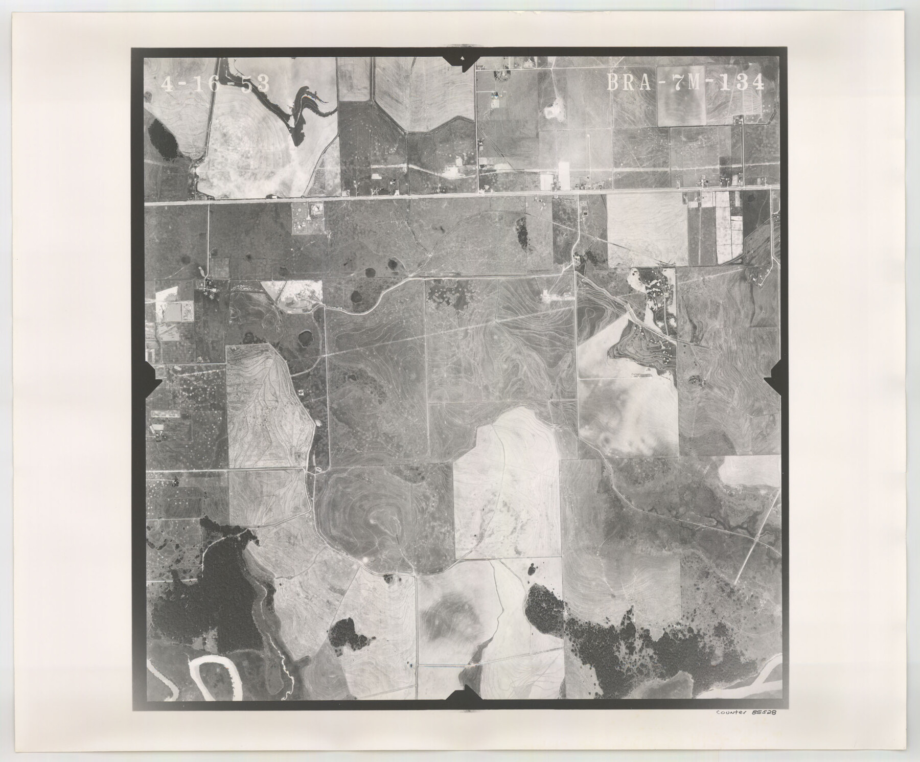
Flight Mission No. BRA-7M, Frame 134, Jefferson County
BRA-7M-134
-
Map/Doc
85528
-
Collection
General Map Collection
-
Object Dates
1953/4/16 (Creation Date)
-
People and Organizations
U. S. Department of Agriculture (Publisher)
-
Counties
Jefferson
-
Subjects
Aerial Photograph
-
Height x Width
18.6 x 22.5 inches
47.2 x 57.2 cm
-
Comments
Flown by Jack Ammann Photogrammetric Engineers of San Antonio, Texas.
Part of: General Map Collection
Brewster County Working Sketch 62

Print $20.00
- Digital $50.00
Brewster County Working Sketch 62
1956
Size 22.7 x 20.2 inches
Map/Doc 67663
Comal County Sketch File 3

Print $8.00
- Digital $50.00
Comal County Sketch File 3
1853
Size 4.4 x 8.4 inches
Map/Doc 18999
Jeff Davis County Sketch File 44

Print $8.00
- Digital $50.00
Jeff Davis County Sketch File 44
1886
Size 8.5 x 8.0 inches
Map/Doc 28071
Bosque County Working Sketch Graphic Index

Print $20.00
- Digital $50.00
Bosque County Working Sketch Graphic Index
1945
Size 46.9 x 36.5 inches
Map/Doc 76469
Hill County Sketch File 22

Print $8.00
- Digital $50.00
Hill County Sketch File 22
1860
Size 7.7 x 8.2 inches
Map/Doc 26505

Galveston County NRC Article 33.136 Sketch 93

Digital $50.00
Galveston County NRC Article 33.136 Sketch 93
2020
Map/Doc 97257
Brewster County Sketch File 14

Print $26.00
- Digital $50.00
Brewster County Sketch File 14
Size 11.2 x 8.8 inches
Map/Doc 15746
Red River County Working Sketch 29

Print $20.00
- Digital $50.00
Red River County Working Sketch 29
1961
Size 29.5 x 33.3 inches
Map/Doc 72012
Terry County Sketch File 10

Print $20.00
- Digital $50.00
Terry County Sketch File 10
Size 10.8 x 43.2 inches
Map/Doc 10394

McCulloch County Working Sketch Graphic Index

Print $20.00
- Digital $50.00
McCulloch County Working Sketch Graphic Index
1949
Size 47.3 x 37.4 inches
Map/Doc 76636
You may also like
Real County Working Sketch 9

Print $20.00
- Digital $50.00
Real County Working Sketch 9
1929
Size 18.4 x 19.5 inches
Map/Doc 71901
Flight Mission No. DQO-11K, Frame 18, Galveston County

Print $20.00
- Digital $50.00
Flight Mission No. DQO-11K, Frame 18, Galveston County
1952
Size 18.7 x 22.4 inches
Map/Doc 85211
Denton County Sketch File 5

Print $6.00
- Digital $50.00
Denton County Sketch File 5
1855
Size 9.8 x 8.1 inches
Map/Doc 20693
Dimmit County Working Sketch 25

Print $20.00
- Digital $50.00
Dimmit County Working Sketch 25
1955
Size 24.9 x 18.3 inches
Map/Doc 68686
Texas Department of Corrections Prison Unit Locations

Print $20.00
- Digital $50.00
Texas Department of Corrections Prison Unit Locations
1960
Size 37.0 x 45.7 inches
Map/Doc 3104
Flight Mission No. DQN-1K, Frame 135, Calhoun County

Print $20.00
- Digital $50.00
Flight Mission No. DQN-1K, Frame 135, Calhoun County
1953
Size 18.3 x 22.4 inches
Map/Doc 84198
San Patricio County NRC Article 33.136 Sketch 4

Print $3.00
- Digital $50.00
San Patricio County NRC Article 33.136 Sketch 4
Size 11.0 x 17.0 inches
Map/Doc 94695
Texas and Pacific Railway and its connections.

Print $20.00
Texas and Pacific Railway and its connections.
1876
Size 17.3 x 34.3 inches
Map/Doc 93601
Map of Tom Green Co.

Print $40.00
- Digital $50.00
Map of Tom Green Co.
1880
Size 42.5 x 74.3 inches
Map/Doc 82062
Travis County Rolled Sketch 44

Print $20.00
- Digital $50.00
Travis County Rolled Sketch 44
Size 34.2 x 35.6 inches
Map/Doc 10052
Brown County Working Sketch 9

Print $40.00
- Digital $50.00
Brown County Working Sketch 9
1977
Size 63.7 x 36.4 inches
Map/Doc 67774
Mrs. Minnie Slaughter Veal's Subdivision of C. C. Slaughter Cattle Company Division

Print $20.00
- Digital $50.00
Mrs. Minnie Slaughter Veal's Subdivision of C. C. Slaughter Cattle Company Division
Size 26.5 x 20.6 inches
Map/Doc 92510