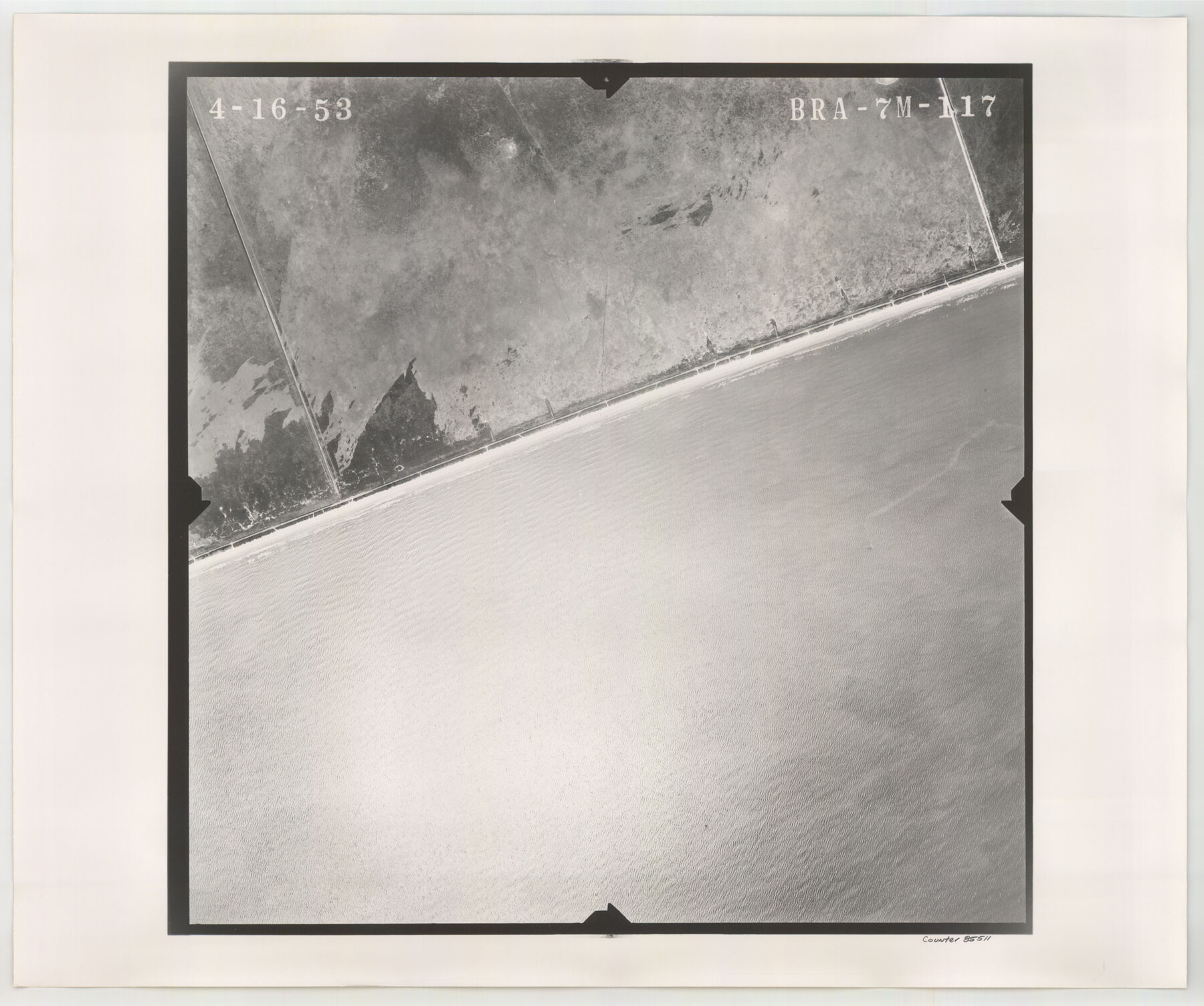
Flight Mission No. BRA-7M, Frame117, Jefferson County
BRA-7M-117
-
Map/Doc
85511
-
Collection
General Map Collection
-
Object Dates
1953/4/16 (Creation Date)
-
People and Organizations
U. S. Department of Agriculture (Publisher)
-
Counties
Jefferson
-
Subjects
Aerial Photograph
-
Height x Width
18.7 x 22.4 inches
47.5 x 56.9 cm
-
Comments
Flown by Jack Ammann Photogrammetric Engineers of San Antonio, Texas.
Part of: General Map Collection
Northern Part of Laguna Madre

Print $20.00
- Digital $50.00
Northern Part of Laguna Madre
1935
Size 44.4 x 35.1 inches
Map/Doc 73522
Texas Gulf Coast Map from the Sabine River to the Rio Grande as subdivided for mineral development

Print $20.00
- Digital $50.00
Texas Gulf Coast Map from the Sabine River to the Rio Grande as subdivided for mineral development
1948
Size 45.0 x 39.9 inches
Map/Doc 2911
[The S.K. Ry. of Texas, State Line to Pecos, Reeves Co., Texas]
![64159, [The S.K. Ry. of Texas, State Line to Pecos, Reeves Co., Texas], General Map Collection](https://historictexasmaps.com/wmedia_w700/maps/64159.tif.jpg)
Print $40.00
- Digital $50.00
[The S.K. Ry. of Texas, State Line to Pecos, Reeves Co., Texas]
1910
Size 19.4 x 130.6 inches
Map/Doc 64159
Hemphill County Working Sketch 6

Print $20.00
- Digital $50.00
Hemphill County Working Sketch 6
1950
Size 20.3 x 27.0 inches
Map/Doc 66101
Burnet County Working Sketch 20

Print $40.00
- Digital $50.00
Burnet County Working Sketch 20
1983
Size 48.1 x 41.2 inches
Map/Doc 67863
Map of Brazoria County

Print $20.00
- Digital $50.00
Map of Brazoria County
1883
Size 26.8 x 25.6 inches
Map/Doc 861
Sutton County Sketch File 37

Print $20.00
- Digital $50.00
Sutton County Sketch File 37
Size 19.7 x 19.7 inches
Map/Doc 12387
Hartley County

Print $40.00
- Digital $50.00
Hartley County
1925
Size 41.9 x 52.1 inches
Map/Doc 1851
Flight Mission No. BRA-6M, Frame 153, Jefferson County

Print $20.00
- Digital $50.00
Flight Mission No. BRA-6M, Frame 153, Jefferson County
1953
Size 18.5 x 22.2 inches
Map/Doc 85454
Jasper County Sketch File 25

Print $16.00
- Digital $50.00
Jasper County Sketch File 25
1941
Size 14.2 x 8.7 inches
Map/Doc 27826
Freestone County Working Sketch 31a

Print $20.00
- Digital $50.00
Freestone County Working Sketch 31a
1996
Size 25.4 x 31.9 inches
Map/Doc 69273
Flight Mission No. DAG-26K, Frame 80, Matagorda County

Print $20.00
- Digital $50.00
Flight Mission No. DAG-26K, Frame 80, Matagorda County
1953
Size 18.5 x 22.3 inches
Map/Doc 86585
You may also like
Hale County Sketch File 3a

Print $20.00
- Digital $50.00
Hale County Sketch File 3a
Size 21.1 x 14.6 inches
Map/Doc 11593
Crockett County Working Sketch 12

Print $20.00
- Digital $50.00
Crockett County Working Sketch 12
1915
Size 19.3 x 15.4 inches
Map/Doc 68345
[Sketch for Mineral Application 19560 - 19588 - San Bernard River]
![65580, [Sketch for Mineral Application 19560 - 19588 - San Bernard River], General Map Collection](https://historictexasmaps.com/wmedia_w700/maps/65580.tif.jpg)
Print $40.00
- Digital $50.00
[Sketch for Mineral Application 19560 - 19588 - San Bernard River]
1928
Size 98.2 x 33.1 inches
Map/Doc 65580
Greer County Sketch File 11

Print $6.00
- Digital $50.00
Greer County Sketch File 11
Size 14.2 x 8.8 inches
Map/Doc 24532
Gaines County Sketch File 9

Print $20.00
- Digital $50.00
Gaines County Sketch File 9
Size 34.1 x 17.1 inches
Map/Doc 11524
Baylor County Sketch File A5

Print $6.00
- Digital $50.00
Baylor County Sketch File A5
Size 10.4 x 8.8 inches
Map/Doc 14088
Aeroplane view of business district Amarillo, Texas

Print $20.00
Aeroplane view of business district Amarillo, Texas
1912
Size 18.9 x 21.4 inches
Map/Doc 93467
Jasper County Working Sketch 5

Print $20.00
- Digital $50.00
Jasper County Working Sketch 5
1906
Size 26.8 x 38.0 inches
Map/Doc 66467
Jack County Sketch File 18c

Print $60.00
- Digital $50.00
Jack County Sketch File 18c
Size 20.0 x 30.7 inches
Map/Doc 11828
Flight Mission No. DQO-8K, Frame 111, Galveston County

Print $20.00
- Digital $50.00
Flight Mission No. DQO-8K, Frame 111, Galveston County
1952
Size 18.6 x 22.3 inches
Map/Doc 85193
Brazoria County Rolled Sketch 25A

Print $259.00
- Digital $50.00
Brazoria County Rolled Sketch 25A
Size 10.1 x 17.0 inches
Map/Doc 42749
La Salle County Rolled Sketch 12

Print $20.00
- Digital $50.00
La Salle County Rolled Sketch 12
Size 25.3 x 37.2 inches
Map/Doc 6575