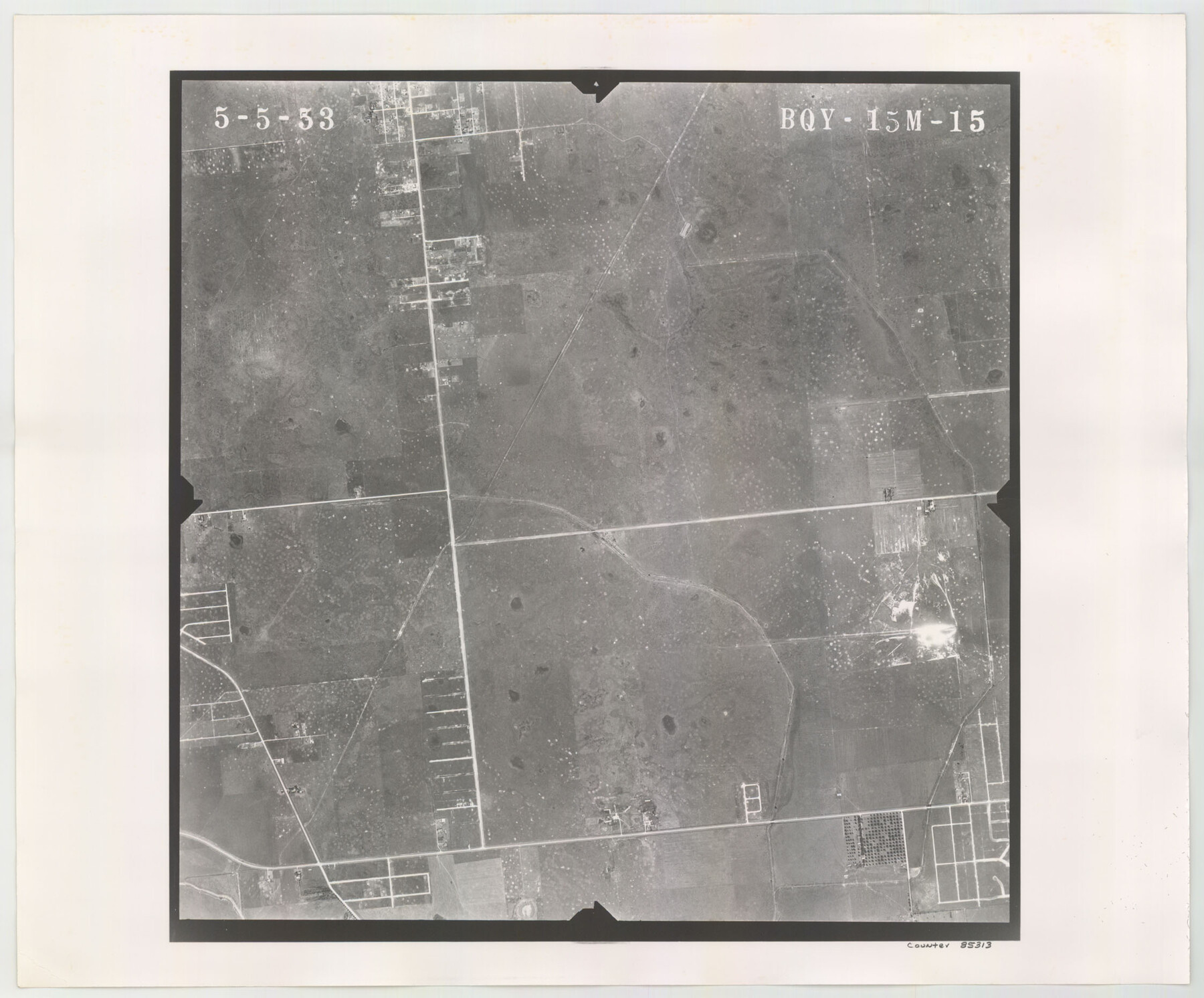
Flight Mission No. BQY-15M, Frame 15, Harris County
BQY-15M-15
-
Map/Doc
85313
-
Collection
General Map Collection
-
Object Dates
1953/5/5 (Creation Date)
-
People and Organizations
U. S. Department of Agriculture (Publisher)
-
Counties
Harris
-
Subjects
Aerial Photograph
-
Height x Width
18.6 x 22.4 inches
47.2 x 56.9 cm
-
Comments
Flown by Jack Ammann Photogrammetric Engineers of San Antonio, Texas.
Part of: General Map Collection
Jefferson County Sketch File 21a

Print $44.00
- Digital $50.00
Jefferson County Sketch File 21a
Size 12.4 x 15.1 inches
Map/Doc 28175
Uvalde County Rolled Sketch 18

Print $20.00
- Digital $50.00
Uvalde County Rolled Sketch 18
Size 33.2 x 24.8 inches
Map/Doc 8102
Hardin County Sketch File 20

Print $6.00
- Digital $50.00
Hardin County Sketch File 20
Size 9.4 x 7.9 inches
Map/Doc 25137
Knox County Sketch File 7

Print $40.00
- Digital $50.00
Knox County Sketch File 7
1885
Size 32.2 x 19.9 inches
Map/Doc 11955
Galveston County Working Sketch 10

Print $20.00
- Digital $50.00
Galveston County Working Sketch 10
Size 27.0 x 8.9 inches
Map/Doc 62190
Wood County Sketch File 1

Print $4.00
- Digital $50.00
Wood County Sketch File 1
Size 12.7 x 7.9 inches
Map/Doc 40629
Map of Burnet County

Print $20.00
- Digital $50.00
Map of Burnet County
1862
Size 27.1 x 22.5 inches
Map/Doc 3353
Trinity County Sketch File 35

Print $34.00
- Digital $50.00
Trinity County Sketch File 35
1920
Size 8.3 x 9.1 inches
Map/Doc 38580
Flight Mission No. CGI-4N, Frame 187, Cameron County

Print $20.00
- Digital $50.00
Flight Mission No. CGI-4N, Frame 187, Cameron County
1955
Size 18.8 x 22.4 inches
Map/Doc 84690
Presidio County Working Sketch 127

Print $20.00
- Digital $50.00
Presidio County Working Sketch 127
1987
Size 42.8 x 29.5 inches
Map/Doc 71805
Montgomery County Rolled Sketch 17

Print $20.00
- Digital $50.00
Montgomery County Rolled Sketch 17
Size 26.6 x 34.9 inches
Map/Doc 6805
Motley County Sketch File 26 (S)

Print $6.00
- Digital $50.00
Motley County Sketch File 26 (S)
Size 10.7 x 15.6 inches
Map/Doc 32206
You may also like
Kendall County Sketch File 16

Print $4.00
- Digital $50.00
Kendall County Sketch File 16
1877
Size 8.7 x 5.9 inches
Map/Doc 28705
Austin County Rolled Sketch 5B

Print $40.00
- Digital $50.00
Austin County Rolled Sketch 5B
1942
Size 22.5 x 50.8 inches
Map/Doc 5106
Houston County Sketch File 7

Print $6.00
- Digital $50.00
Houston County Sketch File 7
1861
Size 12.0 x 11.1 inches
Map/Doc 26764
Sketch Showing Property Lines of Harlem State Farm

Print $20.00
- Digital $50.00
Sketch Showing Property Lines of Harlem State Farm
Size 16.0 x 30.2 inches
Map/Doc 62982
Flight Mission No. DCL-7C, Frame 117, Kenedy County

Print $20.00
- Digital $50.00
Flight Mission No. DCL-7C, Frame 117, Kenedy County
1943
Size 18.4 x 22.3 inches
Map/Doc 86082
United States - Gulf Coast - From Latitude 26° 33' to the Rio Grande Texas

Print $20.00
- Digital $50.00
United States - Gulf Coast - From Latitude 26° 33' to the Rio Grande Texas
1913
Size 27.9 x 18.2 inches
Map/Doc 72832
Liberty County Sketch File 67

Print $28.00
- Digital $50.00
Liberty County Sketch File 67
1996
Size 11.3 x 8.8 inches
Map/Doc 30135
Flight Mission No. CGI-1N, Frame 135, Cameron County

Print $20.00
- Digital $50.00
Flight Mission No. CGI-1N, Frame 135, Cameron County
1955
Size 17.2 x 18.7 inches
Map/Doc 84491
Nueces County Rolled Sketch 43A

Print $20.00
- Digital $50.00
Nueces County Rolled Sketch 43A
Size 24.0 x 35.4 inches
Map/Doc 6884
Aransas County

Print $20.00
- Digital $50.00
Aransas County
1871
Size 17.2 x 18.3 inches
Map/Doc 3235
Sketch Showing Construction of School Leagues and Adjacent Lands Situated in Martin and Dawson Counties

Print $40.00
- Digital $50.00
Sketch Showing Construction of School Leagues and Adjacent Lands Situated in Martin and Dawson Counties
1914
Size 39.3 x 97.6 inches
Map/Doc 93201
List of surveys in Shelby County

List of surveys in Shelby County
1849
Size 13.2 x 8.2 inches
Map/Doc 62443