Brewster County Rolled Sketch 146B
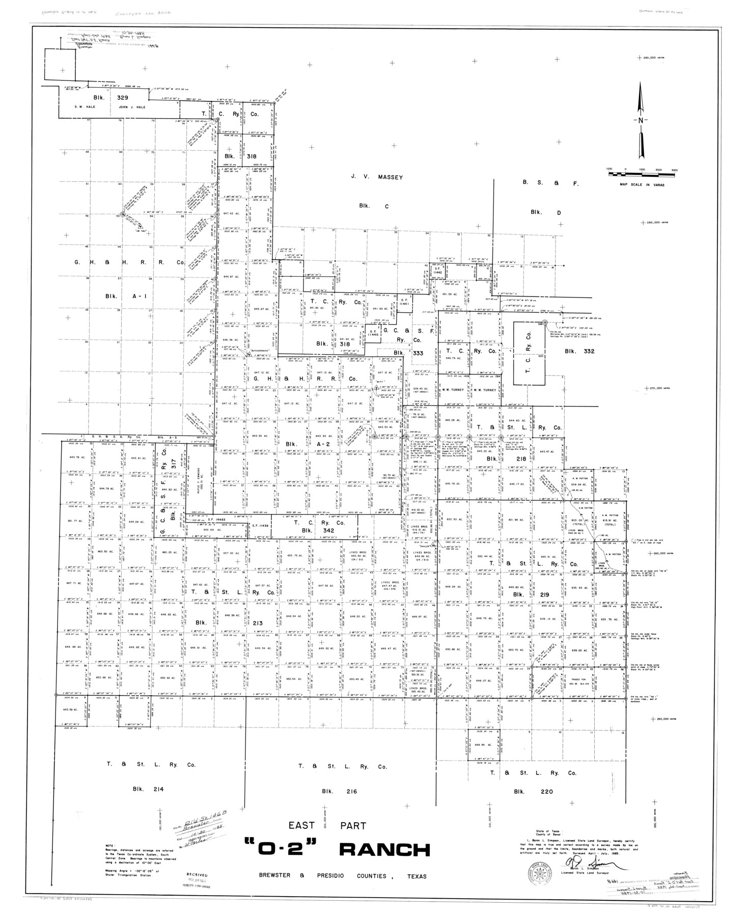
East part "O-2" Ranch, Brewster & Presidio Counties, Texas
-
Map/Doc
8528
-
Collection
General Map Collection
-
Object Dates
1985 (Creation Date)
1985/10/30 (File Date)
-
People and Organizations
Byron L. Simpson (Surveyor/Engineer)
-
Counties
Brewster Presidio
-
Subjects
Surveying Rolled Sketch
-
Height x Width
55.5 x 45.2 inches
141.0 x 114.8 cm
-
Medium
mylar, print
Part of: General Map Collection
Crockett County Rolled Sketch 90

Print $20.00
- Digital $50.00
Crockett County Rolled Sketch 90
1975
Size 25.4 x 37.3 inches
Map/Doc 5631
Flight Mission No. BQR-9K, Frame 49, Brazoria County

Print $20.00
- Digital $50.00
Flight Mission No. BQR-9K, Frame 49, Brazoria County
1952
Size 18.6 x 22.3 inches
Map/Doc 84053
Guadalupe County Sketch File 8

Print $7.00
- Digital $50.00
Guadalupe County Sketch File 8
1871
Size 10.4 x 8.3 inches
Map/Doc 24674
Kendall County Sketch File 2

Print $6.00
- Digital $50.00
Kendall County Sketch File 2
1847
Size 14.6 x 10.9 inches
Map/Doc 28682
Map of Maverick County

Print $20.00
- Digital $50.00
Map of Maverick County
1874
Size 31.5 x 20.9 inches
Map/Doc 3848
Kinney County Working Sketch 23

Print $20.00
- Digital $50.00
Kinney County Working Sketch 23
1950
Size 20.8 x 24.3 inches
Map/Doc 70205
Harrison County Sketch File 20

Print $20.00
- Digital $50.00
Harrison County Sketch File 20
1946
Size 26.4 x 21.8 inches
Map/Doc 11693
Knox County Working Sketch 6

Print $20.00
- Digital $50.00
Knox County Working Sketch 6
1937
Size 31.4 x 18.2 inches
Map/Doc 70248
Ochiltree County Sketch File 2

Print $38.00
- Digital $50.00
Ochiltree County Sketch File 2
1903
Size 11.3 x 8.6 inches
Map/Doc 33168
Atascosa County Rolled Sketch 14

Print $20.00
- Digital $50.00
Atascosa County Rolled Sketch 14
1944
Size 37.1 x 46.0 inches
Map/Doc 8430
Flight Mission No. BRA-6M, Frame 95, Jefferson County

Print $20.00
- Digital $50.00
Flight Mission No. BRA-6M, Frame 95, Jefferson County
1953
Size 18.5 x 22.2 inches
Map/Doc 85438
Erath County Working Sketch 12

Print $20.00
- Digital $50.00
Erath County Working Sketch 12
1964
Size 22.3 x 23.1 inches
Map/Doc 69093
You may also like
Jasper County Working Sketch 19

Print $20.00
- Digital $50.00
Jasper County Working Sketch 19
1939
Size 15.8 x 15.8 inches
Map/Doc 66481

Scurry County Sketch File 6

Print $14.00
- Digital $50.00
Scurry County Sketch File 6
2002
Size 11.2 x 8.7 inches
Map/Doc 76370
Flight Mission No. CRK-3P, Frame 130, Refugio County

Print $20.00
- Digital $50.00
Flight Mission No. CRK-3P, Frame 130, Refugio County
1956
Size 18.6 x 22.3 inches
Map/Doc 86918
Young County Working Sketch 25

Print $20.00
- Digital $50.00
Young County Working Sketch 25
1982
Size 12.6 x 14.4 inches
Map/Doc 62048
Kimble County Working Sketch 30

Print $20.00
- Digital $50.00
Kimble County Working Sketch 30
1942
Size 24.5 x 21.6 inches
Map/Doc 70098

Potter County Sketch File 12

Print $4.00
- Digital $50.00
Potter County Sketch File 12
1890
Size 6.0 x 8.7 inches
Map/Doc 34399
Liberty County Working Sketch 63

Print $20.00
- Digital $50.00
Liberty County Working Sketch 63
1969
Size 31.3 x 28.7 inches
Map/Doc 70523
Duval County Sketch File 73

Print $4.00
- Digital $50.00
Duval County Sketch File 73
Size 9.9 x 8.8 inches
Map/Doc 21463
Gregg County Working Sketch 22

Print $20.00
- Digital $50.00
Gregg County Working Sketch 22
1981
Size 23.2 x 21.5 inches
Map/Doc 63289
Glasscock County Working Sketch Graphic Index

Print $20.00
- Digital $50.00
Glasscock County Working Sketch Graphic Index
1933
Size 43.7 x 37.0 inches
Map/Doc 76554