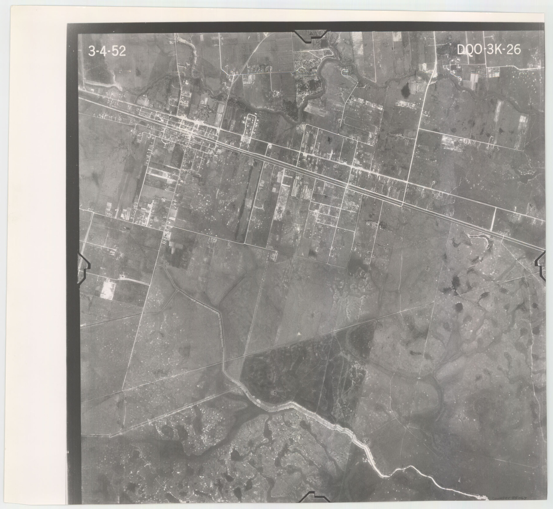
Flight Mission No. DQO-3K, Frame 26, Galveston County
DQO-3K-26
-
Map/Doc
85067
-
Collection
General Map Collection
-
Object Dates
1952/3/4 (Creation Date)
-
People and Organizations
U. S. Department of Agriculture (Publisher)
-
Counties
Galveston
-
Subjects
Aerial Photograph
-
Height x Width
17.4 x 18.9 inches
44.2 x 48.0 cm
-
Comments
Flown by Aero Exploration Company of Tulsa, Oklahoma.
Part of: General Map Collection
Flight Mission No. BRA-6M, Frame 90, Jefferson County

Print $20.00
- Digital $50.00
Flight Mission No. BRA-6M, Frame 90, Jefferson County
1953
Size 18.5 x 22.2 inches
Map/Doc 85433

Red River County Working Sketch 72

Print $20.00
- Digital $50.00
Red River County Working Sketch 72
1979
Size 24.7 x 19.8 inches
Map/Doc 72055
Crockett County Rolled Sketch 93

Print $20.00
- Digital $50.00
Crockett County Rolled Sketch 93
1979
Size 18.8 x 18.9 inches
Map/Doc 5633
San Saba County Sketch File 13A

Print $20.00
- Digital $50.00
San Saba County Sketch File 13A
1891
Size 25.2 x 17.6 inches
Map/Doc 12292
The City of Austin and Suburbs

Print $40.00
- Digital $50.00
The City of Austin and Suburbs
1919
Size 120.7 x 41.2 inches
Map/Doc 88863
Willacy County

Print $20.00
- Digital $50.00
Willacy County
1921
Size 25.3 x 32.5 inches
Map/Doc 95675
Hutchinson County Sketch File 17

Print $4.00
- Digital $50.00
Hutchinson County Sketch File 17
Size 6.9 x 8.8 inches
Map/Doc 27218
Kerr County Sketch File 2

Print $8.00
- Digital $50.00
Kerr County Sketch File 2
1859
Size 10.5 x 7.5 inches
Map/Doc 28856
Brewster County Sketch File N-30

Print $6.00
- Digital $50.00
Brewster County Sketch File N-30
1969
Size 11.2 x 8.9 inches
Map/Doc 15708
Atascosa County Rolled Sketch 22

Print $40.00
- Digital $50.00
Atascosa County Rolled Sketch 22
1917
Size 26.5 x 57.2 inches
Map/Doc 8922
Dimmit County Sketch File 36

Print $6.00
- Digital $50.00
Dimmit County Sketch File 36
1894
Size 4.3 x 13.3 inches
Map/Doc 21158
You may also like
Maps & Lists Showing Prison Lands (Oil & Gas) Leased as of June 1955

Digital $50.00
Maps & Lists Showing Prison Lands (Oil & Gas) Leased as of June 1955
Size 11.2 x 8.8 inches
Map/Doc 62874
Borden County Boundary File 7

Print $29.00
- Digital $50.00
Borden County Boundary File 7
1965
Size 11.2 x 8.8 inches
Map/Doc 61161
Hudspeth County Working Sketch 48

Print $20.00
- Digital $50.00
Hudspeth County Working Sketch 48
1984
Size 36.6 x 46.3 inches
Map/Doc 66333
Yoakum County Rolled Sketch 1

Print $20.00
- Digital $50.00
Yoakum County Rolled Sketch 1
1939
Size 40.5 x 37.5 inches
Map/Doc 10162
Hidalgo County Rolled Sketch 7

Print $20.00
- Digital $50.00
Hidalgo County Rolled Sketch 7
1905
Size 20.4 x 26.1 inches
Map/Doc 6208
Starr County Sketch File 31A

Print $20.00
- Digital $50.00
Starr County Sketch File 31A
1936
Size 24.5 x 13.3 inches
Map/Doc 12335
Wood County Working Sketch 10

Print $20.00
- Digital $50.00
Wood County Working Sketch 10
1943
Size 29.6 x 30.4 inches
Map/Doc 62010
Glasscock County Boundary File 1

Print $18.00
- Digital $50.00
Glasscock County Boundary File 1
Size 14.4 x 9.0 inches
Map/Doc 53781
Red River County Working Sketch 81-4

Print $20.00
- Digital $50.00
Red River County Working Sketch 81-4
1987
Size 21.8 x 16.7 inches
Map/Doc 72067
Coke County Sketch File 22

Print $20.00
- Digital $50.00
Coke County Sketch File 22
1923
Size 22.1 x 27.8 inches
Map/Doc 11111
Culberson County Working Sketch 15

Print $20.00
- Digital $50.00
Culberson County Working Sketch 15
1923
Size 19.9 x 21.5 inches
Map/Doc 68467
A Map of the Indian Territory, Northern Texas and New Mexico showing the [G]reat Western Prairies
![97127, A Map of the Indian Territory, Northern Texas and New Mexico showing the [G]reat Western Prairies, General Map Collection](https://historictexasmaps.com/wmedia_w700/97127.tif.jpg)
Print $20.00
- Digital $50.00
A Map of the Indian Territory, Northern Texas and New Mexico showing the [G]reat Western Prairies
1844
Size 15.0 x 16.0 inches
Map/Doc 97127