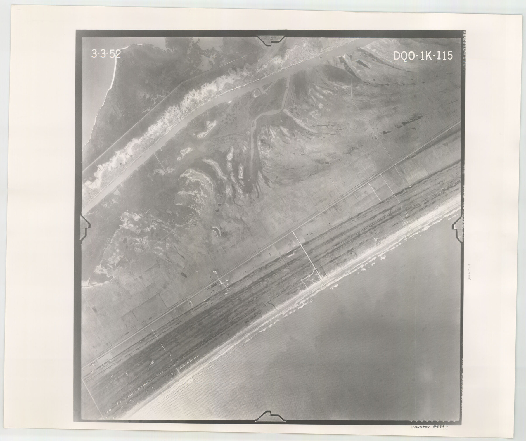
Flight Mission No. DQO-1K, Frame 115, Galveston County
DQO-1K-115
-
Map/Doc
84993
-
Collection
General Map Collection
-
Object Dates
1952/3/3 (Creation Date)
-
People and Organizations
U. S. Department of Agriculture (Publisher)
-
Counties
Galveston
-
Subjects
Aerial Photograph
-
Height x Width
18.9 x 22.5 inches
48.0 x 57.2 cm
-
Comments
Flown by Aero Exploration Company of Tulsa, Oklahoma.
Part of: General Map Collection
Travis County Boundary File 6

Print $109.00
- Digital $50.00
Travis County Boundary File 6
Size 14.6 x 9.1 inches
Map/Doc 59433
Harris County Rolled Sketch 83

Print $20.00
- Digital $50.00
Harris County Rolled Sketch 83
1958
Size 28.2 x 45.6 inches
Map/Doc 9139
Crockett County Working Sketch 36

Print $20.00
- Digital $50.00
Crockett County Working Sketch 36
1927
Size 22.4 x 26.0 inches
Map/Doc 68369
Hamilton County Working Sketch 21

Print $40.00
- Digital $50.00
Hamilton County Working Sketch 21
1955
Size 52.4 x 43.7 inches
Map/Doc 63359
Williamson County Sketch File 15

Print $4.00
- Digital $50.00
Williamson County Sketch File 15
Size 10.0 x 8.0 inches
Map/Doc 40334
[Jack District]
![16828, [Jack District], General Map Collection](https://historictexasmaps.com/wmedia_w700/maps/16828.tif.jpg)
Print $40.00
- Digital $50.00
[Jack District]
1876
Size 50.0 x 76.4 inches
Map/Doc 16828
Brewster County Rolled Sketch 83

Print $20.00
- Digital $50.00
Brewster County Rolled Sketch 83
1946
Size 43.4 x 43.7 inches
Map/Doc 8495
Childress County Rolled Sketch 18

Print $20.00
- Digital $50.00
Childress County Rolled Sketch 18
1913
Size 17.6 x 39.0 inches
Map/Doc 5451
9th Street & Ave. A. Galveston, Texas showing beginning of jetty right of way, and seawall extension track

Print $20.00
- Digital $50.00
9th Street & Ave. A. Galveston, Texas showing beginning of jetty right of way, and seawall extension track
1920
Size 21.3 x 33.6 inches
Map/Doc 73630
Van Zandt County

Print $20.00
- Digital $50.00
Van Zandt County
1870
Size 22.9 x 21.6 inches
Map/Doc 4637
Travis County Rolled Sketch 60

Print $20.00
- Digital $50.00
Travis County Rolled Sketch 60
2014
Size 41.5 x 30.7 inches
Map/Doc 93723
Refugio County Boundary File 2a

Print $8.00
- Digital $50.00
Refugio County Boundary File 2a
Size 14.5 x 9.1 inches
Map/Doc 58240
You may also like
Map of George W. Littlefield's Ranch Located on State Capitol Leagues 657- 736 Situated in Lamb and Hockley Counties

Print $2.00
- Digital $50.00
Map of George W. Littlefield's Ranch Located on State Capitol Leagues 657- 736 Situated in Lamb and Hockley Counties
Size 6.3 x 8.2 inches
Map/Doc 91121
Fort Bend County Rolled Sketch 3

Print $20.00
- Digital $50.00
Fort Bend County Rolled Sketch 3
1958
Size 31.4 x 31.5 inches
Map/Doc 5893
Aeroplane view of business district Amarillo, Texas

Print $20.00
Aeroplane view of business district Amarillo, Texas
1912
Size 18.9 x 21.4 inches
Map/Doc 93467
Panola County Sketch File 25

Print $20.00
- Digital $50.00
Panola County Sketch File 25
1946
Size 24.1 x 21.4 inches
Map/Doc 12140
Map of Llano County Showing Geology, Mineral Localities, Topography, etc.

Print $20.00
Map of Llano County Showing Geology, Mineral Localities, Topography, etc.
1875
Size 16.5 x 21.3 inches
Map/Doc 88969
Travis County Working Sketch 19

Print $20.00
- Digital $50.00
Travis County Working Sketch 19
1945
Size 32.2 x 40.6 inches
Map/Doc 69403
Flight Mission No. DQN-1K, Frame 155, Calhoun County

Print $20.00
- Digital $50.00
Flight Mission No. DQN-1K, Frame 155, Calhoun County
1953
Size 18.5 x 22.2 inches
Map/Doc 84214
Clay County Sketch File 35

Print $3.00
- Digital $50.00
Clay County Sketch File 35
Size 10.3 x 12.1 inches
Map/Doc 18463
Van Zandt County Sketch File 3

Print $8.00
- Digital $50.00
Van Zandt County Sketch File 3
1858
Size 8.3 x 8.0 inches
Map/Doc 39366
Jefferson County Sketch File 10

Print $32.00
- Digital $50.00
Jefferson County Sketch File 10
Size 8.0 x 6.8 inches
Map/Doc 28125
[Sketch of Unknown Area in New Mexico]
![93027, [Sketch of Unknown Area in New Mexico], Twichell Survey Records](https://historictexasmaps.com/wmedia_w700/maps/93027-1.tif.jpg)
Print $40.00
- Digital $50.00
[Sketch of Unknown Area in New Mexico]
Size 50.6 x 37.1 inches
Map/Doc 93027
Dawson County Rolled Sketch 4

Print $20.00
- Digital $50.00
Dawson County Rolled Sketch 4
Size 24.3 x 23.9 inches
Map/Doc 5690