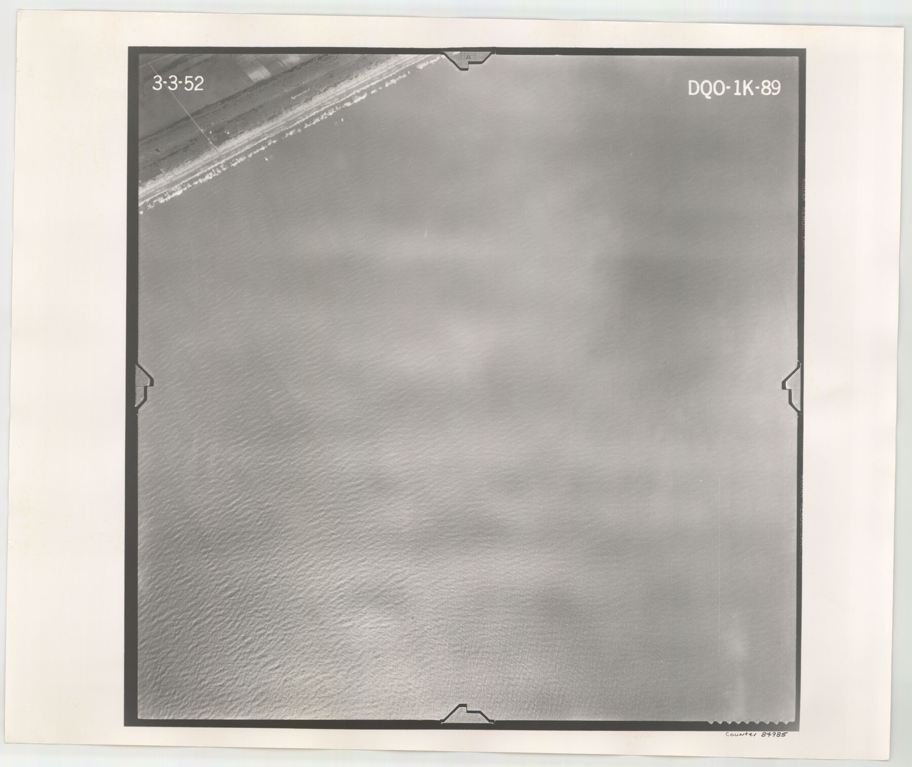
Flight Mission No. DQO-1K, Frame 89, Galveston County
DQO-1K-89
-
Map/Doc
84985
-
Collection
General Map Collection
-
Object Dates
1952/3/3 (Creation Date)
-
People and Organizations
U. S. Department of Agriculture (Publisher)
-
Counties
Galveston
-
Subjects
Aerial Photograph
-
Height x Width
18.9 x 22.5 inches
48.0 x 57.2 cm
-
Comments
Flown by Aero Exploration Company of Tulsa, Oklahoma.
Part of: General Map Collection
Cooke County Sketch File 27

Print $24.00
- Digital $50.00
Cooke County Sketch File 27
Size 9.8 x 8.5 inches
Map/Doc 19279
Aransas County Working Sketch 10

Print $20.00
- Digital $50.00
Aransas County Working Sketch 10
1947
Size 44.1 x 40.4 inches
Map/Doc 67177
Newton County Sketch File 48

Print $4.00
- Digital $50.00
Newton County Sketch File 48
Size 12.4 x 7.9 inches
Map/Doc 32460
Duval County Working Sketch 1

Print $20.00
- Digital $50.00
Duval County Working Sketch 1
Size 24.6 x 36.4 inches
Map/Doc 76442
Tyler County Sketch File 2

Print $4.00
- Digital $50.00
Tyler County Sketch File 2
Size 6.3 x 5.6 inches
Map/Doc 38615
PSL Field Notes for Blocks A19, A20, A22, A23, A26, A28, A29, A30, A31, A32, A33, A34, A35, A36, A37, A38, A39, A40, A41 in Andrews County

PSL Field Notes for Blocks A19, A20, A22, A23, A26, A28, A29, A30, A31, A32, A33, A34, A35, A36, A37, A38, A39, A40, A41 in Andrews County
Map/Doc 81642
Webb County Boundary File 1

Print $16.00
- Digital $50.00
Webb County Boundary File 1
Size 7.2 x 8.9 inches
Map/Doc 59695
Brazos River, Jones Bridge Special Map Sheet

Print $4.00
- Digital $50.00
Brazos River, Jones Bridge Special Map Sheet
1936
Size 29.8 x 28.2 inches
Map/Doc 65280
Archer County Sketch File 15

Print $40.00
- Digital $50.00
Archer County Sketch File 15
1886
Size 16.6 x 17.9 inches
Map/Doc 10827
Brazos Santiago & Boca Chica entrances, Texas

Print $20.00
- Digital $50.00
Brazos Santiago & Boca Chica entrances, Texas
1867
Size 18.1 x 25.6 inches
Map/Doc 72927
Tarrant County Sketch File 35

Print $50.00
Tarrant County Sketch File 35
2018
Size 11.0 x 8.5 inches
Map/Doc 95394
Hardin County Boundary File 40

Print $14.00
- Digital $50.00
Hardin County Boundary File 40
Size 9.0 x 3.5 inches
Map/Doc 54409
You may also like
Gregg County Rolled Sketch 8A

Print $40.00
- Digital $50.00
Gregg County Rolled Sketch 8A
Size 25.5 x 50.3 inches
Map/Doc 9028
Roberts County Working Sketch 10

Print $20.00
- Digital $50.00
Roberts County Working Sketch 10
1965
Size 23.0 x 29.0 inches
Map/Doc 63536
Map of Africa engraved to illustrate Mitchell's school and family geography (Inset 1: Map of Egypt / Inset 2: Map of Liberia)

Print $20.00
- Digital $50.00
Map of Africa engraved to illustrate Mitchell's school and family geography (Inset 1: Map of Egypt / Inset 2: Map of Liberia)
1839
Size 9.5 x 11.8 inches
Map/Doc 93507
[Leagues 391, 391 1/2 and part of Block K7]
![90534, [Leagues 391, 391 1/2 and part of Block K7], Twichell Survey Records](https://historictexasmaps.com/wmedia_w700/maps/90534-1.tif.jpg)
Print $2.00
- Digital $50.00
[Leagues 391, 391 1/2 and part of Block K7]
1902
Size 4.7 x 6.3 inches
Map/Doc 90534
Map of Surveys Made for the T&PRRCo in Howard, Mitchell & Tom Green Counties, Blocks 27, 28, 29, 30, 31, 32 & 33, Reserve West of the Colorado

Print $40.00
- Digital $50.00
Map of Surveys Made for the T&PRRCo in Howard, Mitchell & Tom Green Counties, Blocks 27, 28, 29, 30, 31, 32 & 33, Reserve West of the Colorado
1876
Size 42.0 x 51.0 inches
Map/Doc 2228
Southwest Part of Anton Chico Grant Guadalupe County, New Mexico

Print $20.00
- Digital $50.00
Southwest Part of Anton Chico Grant Guadalupe County, New Mexico
Size 23.8 x 28.6 inches
Map/Doc 92435
Hood County Working Sketch 14

Print $20.00
- Digital $50.00
Hood County Working Sketch 14
1980
Size 24.1 x 24.6 inches
Map/Doc 66208
Leon County Working Sketch 55

Print $20.00
- Digital $50.00
Leon County Working Sketch 55
1989
Size 18.7 x 18.3 inches
Map/Doc 70455
Lamar County, Texas

Print $20.00
- Digital $50.00
Lamar County, Texas
1870
Size 21.5 x 18.1 inches
Map/Doc 738
Kimble County Working Sketch 56

Print $20.00
- Digital $50.00
Kimble County Working Sketch 56
1957
Size 34.6 x 41.9 inches
Map/Doc 70124
Flight Mission No. DIX-3P, Frame 137, Aransas County

Print $20.00
- Digital $50.00
Flight Mission No. DIX-3P, Frame 137, Aransas County
1956
Size 17.8 x 18.4 inches
Map/Doc 83767
Presidio County Rolled Sketch 66

Print $20.00
- Digital $50.00
Presidio County Rolled Sketch 66
1920
Size 19.4 x 37.5 inches
Map/Doc 7357