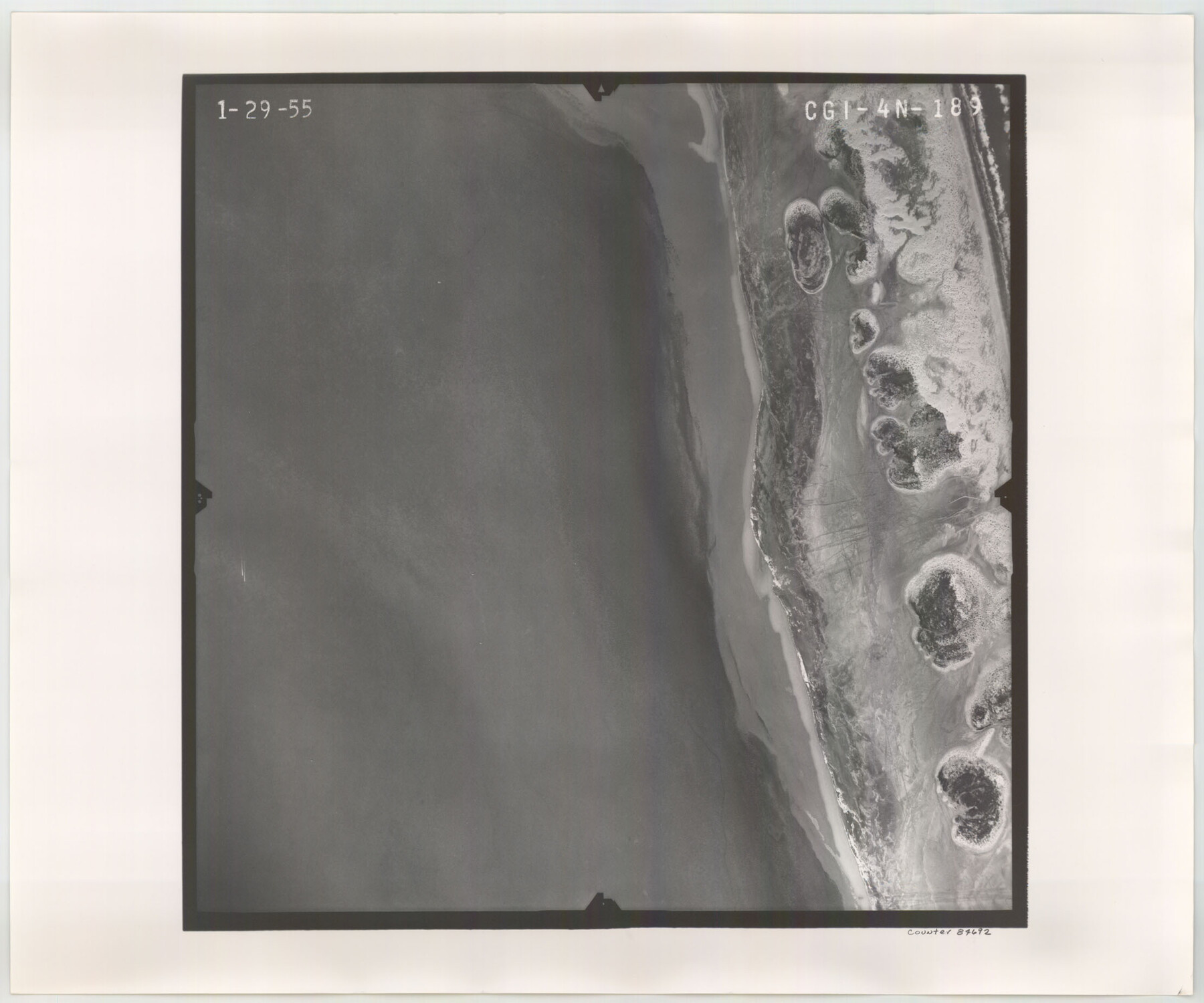
Flight Mission No. CGI-4N, Frame 189, Cameron County
CGI-4N-189
-
Map/Doc
84692
-
Collection
General Map Collection
-
Object Dates
1955/1/29 (Creation Date)
-
People and Organizations
U. S. Department of Agriculture (Publisher)
-
Counties
Cameron
-
Subjects
Aerial Photograph
-
Height x Width
18.5 x 22.2 inches
47.0 x 56.4 cm
-
Comments
Flown by Puckett Aerial Surveys, Inc. of Jackson, Mississippi.
Part of: General Map Collection
Flight Mission No. DIX-10P, Frame 78, Aransas County

Print $20.00
- Digital $50.00
Flight Mission No. DIX-10P, Frame 78, Aransas County
1956
Size 18.8 x 22.4 inches
Map/Doc 83939
Cameron County Rolled Sketch 5

Print $20.00
- Digital $50.00
Cameron County Rolled Sketch 5
Size 35.8 x 38.8 inches
Map/Doc 8562
Midland County Boundary File 1

Print $40.00
- Digital $50.00
Midland County Boundary File 1
Size 7.0 x 6.6 inches
Map/Doc 57140
Jackson County Working Sketch 7

Print $20.00
- Digital $50.00
Jackson County Working Sketch 7
1973
Size 35.7 x 27.1 inches
Map/Doc 66455
Colorado River, Grape Creek Sheet/Proposed Dam Site

Print $4.00
- Digital $50.00
Colorado River, Grape Creek Sheet/Proposed Dam Site
1937
Size 20.1 x 23.8 inches
Map/Doc 65304

Tarrant County Sketch File 25

Print $4.00
- Digital $50.00
Tarrant County Sketch File 25
1873
Size 8.2 x 8.6 inches
Map/Doc 37737
Lavaca County Working Sketch 17

Print $20.00
- Digital $50.00
Lavaca County Working Sketch 17
1979
Size 34.7 x 44.6 inches
Map/Doc 70370
Houston County Sketch File 32

Print $4.00
- Digital $50.00
Houston County Sketch File 32
1877
Size 10.8 x 7.1 inches
Map/Doc 26809
Township 6 North Range 14 West, North Western District, Louisiana

Print $20.00
- Digital $50.00
Township 6 North Range 14 West, North Western District, Louisiana
1841
Size 19.5 x 24.7 inches
Map/Doc 65863
Brewster County Working Sketch 47

Print $20.00
- Digital $50.00
Brewster County Working Sketch 47
1949
Size 42.9 x 35.4 inches
Map/Doc 67581

You may also like
Trinity County Sketch File 35

Print $34.00
- Digital $50.00
Trinity County Sketch File 35
1920
Size 8.3 x 9.1 inches
Map/Doc 38580
[Nueces Bay, Mustang Island and Padre Island]
![73465, [Nueces Bay, Mustang Island and Padre Island], General Map Collection](https://historictexasmaps.com/wmedia_w700/maps/73465.tif.jpg)
Print $4.00
- Digital $50.00
[Nueces Bay, Mustang Island and Padre Island]
Size 18.1 x 24.7 inches
Map/Doc 73465
[E. L. & R. R. Block 10]
![91352, [E. L. & R. R. Block 10], Twichell Survey Records](https://historictexasmaps.com/wmedia_w700/maps/91352-1.tif.jpg)
Print $20.00
- Digital $50.00
[E. L. & R. R. Block 10]
Size 25.6 x 15.8 inches
Map/Doc 91352
Fort Bend County Working Sketch 2

Print $20.00
- Digital $50.00
Fort Bend County Working Sketch 2
1897
Size 18.3 x 28.4 inches
Map/Doc 69208
Clay County Boundary File 17

Print $8.00
- Digital $50.00
Clay County Boundary File 17
Size 13.8 x 8.4 inches
Map/Doc 51432
Chambers County Rolled Sketch 17

Print $20.00
- Digital $50.00
Chambers County Rolled Sketch 17
1936
Size 38.0 x 32.8 inches
Map/Doc 5425
[Leagues 464-467 and vicinity]
![91649, [Leagues 464-467 and vicinity], Twichell Survey Records](https://historictexasmaps.com/wmedia_w700/maps/91649-1.tif.jpg)
Print $2.00
- Digital $50.00
[Leagues 464-467 and vicinity]
Size 10.6 x 8.1 inches
Map/Doc 91649
Colton's United States shewing the military stations, forts, &c

Print $20.00
Colton's United States shewing the military stations, forts, &c
1861
Size 14.6 x 17.3 inches
Map/Doc 93565
Brewster County Rolled Sketch 100

Print $133.00
- Digital $50.00
Brewster County Rolled Sketch 100
1893
Size 10.1 x 15.4 inches
Map/Doc 43055
Flight Mission No. DAG-23K, Frame 164, Matagorda County

Print $20.00
- Digital $50.00
Flight Mission No. DAG-23K, Frame 164, Matagorda County
1953
Size 18.6 x 22.3 inches
Map/Doc 86502
Wilbarger County Working Sketch 9

Print $20.00
- Digital $50.00
Wilbarger County Working Sketch 9
1950
Size 21.3 x 27.6 inches
Map/Doc 72547
Presidio County Working Sketch 53

Print $20.00
- Digital $50.00
Presidio County Working Sketch 53
1955
Size 28.6 x 18.9 inches
Map/Doc 71730