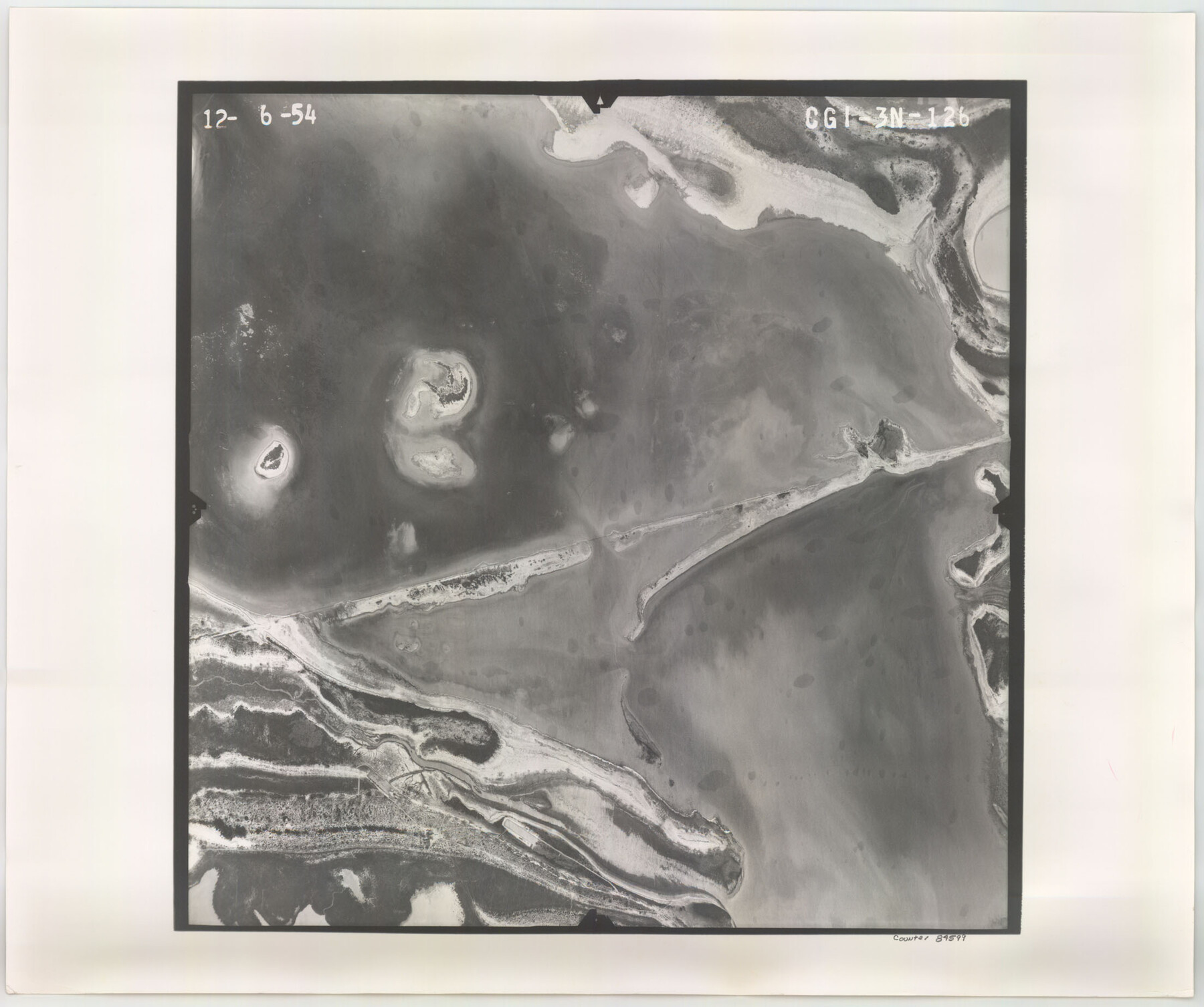
Flight Mission No. CGI-3N, Frame 126, Cameron County
CGI-3N-126
-
Map/Doc
84599
-
Collection
General Map Collection
-
Object Dates
1954/12/6 (Creation Date)
-
People and Organizations
U. S. Department of Agriculture (Publisher)
-
Counties
Cameron
-
Subjects
Aerial Photograph
-
Height x Width
18.5 x 22.1 inches
47.0 x 56.1 cm
-
Comments
Flown by Puckett Aerial Surveys, Inc. of Jackson, Mississippi.
Part of: General Map Collection
Jim Hogg County Boundary File 3

Print $4.00
- Digital $50.00
Jim Hogg County Boundary File 3
Size 8.8 x 11.2 inches
Map/Doc 55529
Anderson County Working Sketch 16

Print $20.00
- Digital $50.00
Anderson County Working Sketch 16
1938
Size 42.4 x 37.1 inches
Map/Doc 67016
South Part of El Paso Co.

Print $20.00
- Digital $50.00
South Part of El Paso Co.
1977
Size 36.5 x 47.8 inches
Map/Doc 95491
Loving County Working Sketch Graphic Index

Print $20.00
- Digital $50.00
Loving County Working Sketch Graphic Index
1932
Size 36.8 x 46.8 inches
Map/Doc 76625
Controlled Mosaic by Jack Amman Photogrammetric Engineers, Inc - Sheet 29

Print $20.00
- Digital $50.00
Controlled Mosaic by Jack Amman Photogrammetric Engineers, Inc - Sheet 29
1954
Size 20.0 x 24.0 inches
Map/Doc 83482
Pecos County Rolled Sketch 125

Print $20.00
- Digital $50.00
Pecos County Rolled Sketch 125
1948
Size 32.0 x 41.6 inches
Map/Doc 7266
Harrison County Boundary File 2

Print $40.00
- Digital $50.00
Harrison County Boundary File 2
Size 22.6 x 7.7 inches
Map/Doc 54416
Trinity County Working Sketch 4

Print $20.00
- Digital $50.00
Trinity County Working Sketch 4
1908
Size 21.3 x 18.5 inches
Map/Doc 69452
Duval County Rolled Sketch 16

Print $20.00
- Digital $50.00
Duval County Rolled Sketch 16
1940
Size 45.3 x 34.8 inches
Map/Doc 8810
Coryell County Sketch File 24

Print $24.00
- Digital $50.00
Coryell County Sketch File 24
1965
Size 11.2 x 8.8 inches
Map/Doc 19389
Wichita County Sketch File 19a

Print $20.00
- Digital $50.00
Wichita County Sketch File 19a
1892
Size 27.0 x 21.7 inches
Map/Doc 12682
Preliminary Chart of Entrance to Brazos River, Texas

Print $20.00
- Digital $50.00
Preliminary Chart of Entrance to Brazos River, Texas
Size 17.6 x 19.8 inches
Map/Doc 81986
You may also like
Map showing location of Texas Prison Farms surveyed for the Texas Prison System

Print $20.00
- Digital $50.00
Map showing location of Texas Prison Farms surveyed for the Texas Prison System
1934
Size 15.6 x 12.3 inches
Map/Doc 94277
Flight Mission No. BQY-4M, Frame 113, Harris County

Print $20.00
- Digital $50.00
Flight Mission No. BQY-4M, Frame 113, Harris County
1953
Size 18.8 x 22.4 inches
Map/Doc 85280
Crane County Working Sketch 17

Print $20.00
- Digital $50.00
Crane County Working Sketch 17
1957
Size 10.7 x 37.0 inches
Map/Doc 63911
Terrell County Working Sketch 32

Print $20.00
- Digital $50.00
Terrell County Working Sketch 32
1945
Size 33.0 x 36.9 inches
Map/Doc 62124
Young County Sketch File 14

Print $20.00
- Digital $50.00
Young County Sketch File 14
1895
Size 10.9 x 27.3 inches
Map/Doc 12712
Castro County Working Sketch 4

Print $20.00
- Digital $50.00
Castro County Working Sketch 4
1920
Size 17.0 x 16.2 inches
Map/Doc 67899
Calhoun County Aerial Photograph Index Sheet 5

Print $20.00
- Digital $50.00
Calhoun County Aerial Photograph Index Sheet 5
1953
Size 24.0 x 19.5 inches
Map/Doc 83673
Hill County Boundary File 2

Print $18.00
- Digital $50.00
Hill County Boundary File 2
Size 10.6 x 8.1 inches
Map/Doc 54734
Carson County Boundary File 5c

Print $10.00
- Digital $50.00
Carson County Boundary File 5c
Size 14.2 x 8.7 inches
Map/Doc 51146
Titus County Working Sketch 8

Print $20.00
- Digital $50.00
Titus County Working Sketch 8
1974
Size 17.6 x 29.3 inches
Map/Doc 69369
Webb County Working Sketch 11

Print $20.00
- Digital $50.00
Webb County Working Sketch 11
1921
Size 17.8 x 16.3 inches
Map/Doc 72376
Outer Continental Shelf Leasing Maps (Louisiana Offshore Operations)

Print $20.00
- Digital $50.00
Outer Continental Shelf Leasing Maps (Louisiana Offshore Operations)
1954
Size 22.2 x 12.0 inches
Map/Doc 76096