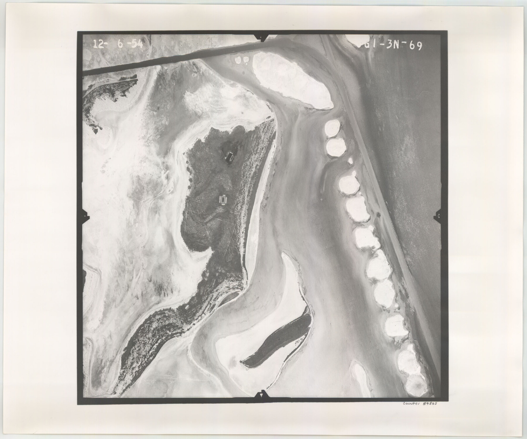
Flight Mission No. CGI-3N, Frame 69, Cameron County
CGI-3N-69
-
Map/Doc
84563
-
Collection
General Map Collection
-
Object Dates
1954/12/6 (Creation Date)
-
People and Organizations
U. S. Department of Agriculture (Publisher)
-
Counties
Cameron
-
Subjects
Aerial Photograph
-
Height x Width
18.4 x 22.1 inches
46.7 x 56.1 cm
-
Comments
Flown by Puckett Aerial Surveys, Inc. of Jackson, Mississippi.
Part of: General Map Collection
Red River County Working Sketch 16

Print $20.00
- Digital $50.00
Red River County Working Sketch 16
1953
Size 21.8 x 23.4 inches
Map/Doc 71999
Flight Mission No. DQN-4K, Frame 8, Calhoun County

Print $20.00
- Digital $50.00
Flight Mission No. DQN-4K, Frame 8, Calhoun County
1953
Size 18.8 x 22.5 inches
Map/Doc 84373
Kimble County Boundary File 3a

Print $36.00
- Digital $50.00
Kimble County Boundary File 3a
Size 8.8 x 8.2 inches
Map/Doc 64859
Dawson County Sketch File 14

Print $4.00
- Digital $50.00
Dawson County Sketch File 14
Size 11.5 x 7.5 inches
Map/Doc 20547
Lynn County Sketch File 6

Print $20.00
- Digital $50.00
Lynn County Sketch File 6
1928
Size 24.2 x 36.7 inches
Map/Doc 10529
Castro County Working Sketch 6

Print $20.00
- Digital $50.00
Castro County Working Sketch 6
1975
Size 28.4 x 26.4 inches
Map/Doc 67901
Map Illustrating the plan of the defences of the Western & North-Western Frontier, as proposed by Charles Gratiot in his report of Oct. 31, 1837

Print $20.00
- Digital $50.00
Map Illustrating the plan of the defences of the Western & North-Western Frontier, as proposed by Charles Gratiot in his report of Oct. 31, 1837
1837
Size 23.8 x 17.7 inches
Map/Doc 95698
San Antonio - Downtown - Riverwalk

San Antonio - Downtown - Riverwalk
Size 11.8 x 17.9 inches
Map/Doc 94289
Hudspeth County Sketch File 28

Print $20.00
- Digital $50.00
Hudspeth County Sketch File 28
1943
Size 15.3 x 21.4 inches
Map/Doc 11803
Wharton County Sketch File 14

Print $70.00
- Digital $50.00
Wharton County Sketch File 14
1895
Size 9.7 x 6.2 inches
Map/Doc 39938
Right of Way and Track Map, the Missouri, Kansas & Texas Ry. Of Texas operated by the Missouri, Kansas & Texas Ry. Of Texas, Houston Division

Print $40.00
- Digital $50.00
Right of Way and Track Map, the Missouri, Kansas & Texas Ry. Of Texas operated by the Missouri, Kansas & Texas Ry. Of Texas, Houston Division
1918
Size 25.5 x 61.9 inches
Map/Doc 64567
Polk County Working Sketch 31

Print $20.00
- Digital $50.00
Polk County Working Sketch 31
1960
Size 18.2 x 24.4 inches
Map/Doc 71647
You may also like
Flight Mission No. DCL-7C, Frame 47, Kenedy County

Print $20.00
- Digital $50.00
Flight Mission No. DCL-7C, Frame 47, Kenedy County
1943
Size 15.3 x 15.3 inches
Map/Doc 86035
Fort Bend County Rolled Sketch 3

Print $20.00
- Digital $50.00
Fort Bend County Rolled Sketch 3
1958
Size 31.4 x 31.5 inches
Map/Doc 5893
Crosby County Boundary File 1

Print $20.00
- Digital $50.00
Crosby County Boundary File 1
Size 7.4 x 4.1 inches
Map/Doc 51971
Kinney County Working Sketch 20

Print $20.00
- Digital $50.00
Kinney County Working Sketch 20
1948
Size 31.3 x 24.3 inches
Map/Doc 70202
Montgomery County Working Sketch 7

Print $20.00
- Digital $50.00
Montgomery County Working Sketch 7
1932
Size 36.6 x 26.2 inches
Map/Doc 71113
Bastrop County Working Sketch Graphic Index

Print $40.00
- Digital $50.00
Bastrop County Working Sketch Graphic Index
1955
Size 49.6 x 40.9 inches
Map/Doc 76462
Farm Owned by Dr. J. T. Krueger

Print $20.00
- Digital $50.00
Farm Owned by Dr. J. T. Krueger
Size 16.9 x 32.8 inches
Map/Doc 92344
Callahan County Working Sketch 6

Print $20.00
- Digital $50.00
Callahan County Working Sketch 6
1955
Size 30.2 x 18.8 inches
Map/Doc 67888
Flight Mission No. CRK-3P, Frame 70, Refugio County

Print $20.00
- Digital $50.00
Flight Mission No. CRK-3P, Frame 70, Refugio County
1956
Size 18.6 x 22.5 inches
Map/Doc 86912
Reeves County Rolled Sketch 26

Print $20.00
- Digital $50.00
Reeves County Rolled Sketch 26
1985
Size 21.6 x 27.7 inches
Map/Doc 7495
El Paso County Rolled Sketch Z51

Print $40.00
- Digital $50.00
El Paso County Rolled Sketch Z51
1915
Size 37.2 x 49.0 inches
Map/Doc 8868
Amherst Independent School District Situated in Lamb County, Texas

Print $20.00
- Digital $50.00
Amherst Independent School District Situated in Lamb County, Texas
Size 25.0 x 18.9 inches
Map/Doc 92203