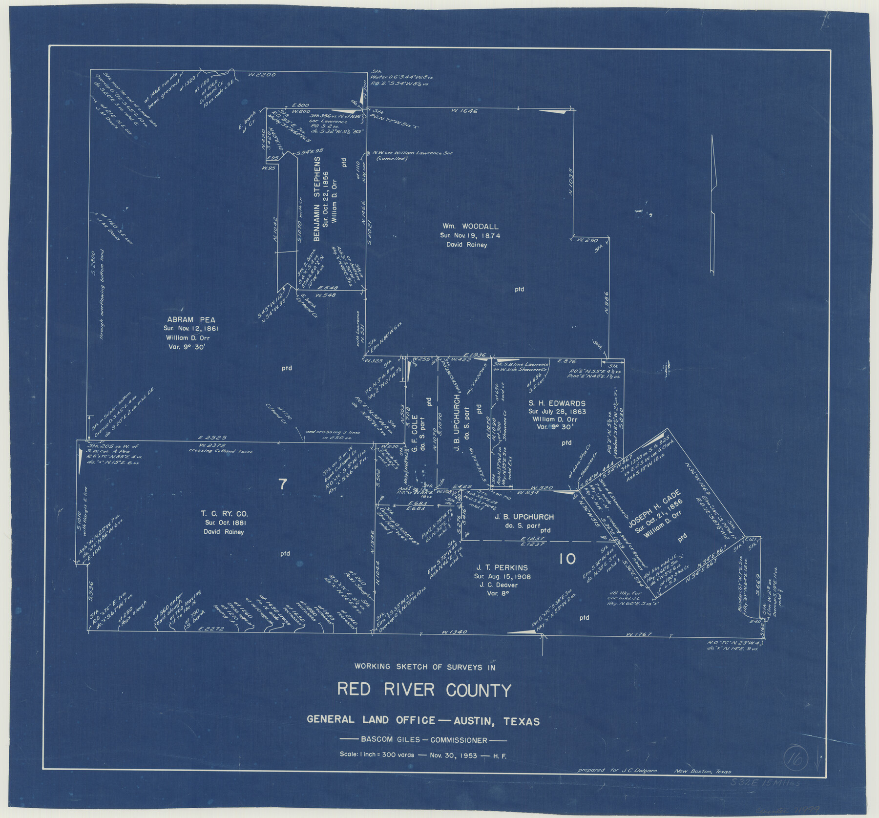
Red River County Working Sketch 16
-
Map/Doc
71999
-
Collection
General Map Collection
-
Object Dates
11/30/1953 (Creation Date)
-
People and Organizations
Herman Forbes (Draftsman)
-
Counties
Red River
-
Subjects
Surveying Working Sketch
-
Height x Width
21.8 x 23.4 inches
55.4 x 59.4 cm
-
Scale
1" = 300 varas
Part of: General Map Collection
Titus County Sketch File 14

Print $4.00
- Digital $50.00
Titus County Sketch File 14
Size 9.7 x 8.3 inches
Map/Doc 38157
Capitol Land Reservation

Print $40.00
- Digital $50.00
Capitol Land Reservation
1880
Size 115.6 x 36.6 inches
Map/Doc 10785
Polk County Working Sketch 28

Print $40.00
- Digital $50.00
Polk County Working Sketch 28
1960
Size 53.5 x 43.6 inches
Map/Doc 71644
Starr County Sketch File 21

Print $52.00
- Digital $50.00
Starr County Sketch File 21
1912
Size 14.2 x 8.7 inches
Map/Doc 36889
El Paso County Rolled Sketch 52

Print $20.00
- Digital $50.00
El Paso County Rolled Sketch 52
1929
Size 18.4 x 24.3 inches
Map/Doc 5839
Houston County Working Sketch 21

Print $20.00
- Digital $50.00
Houston County Working Sketch 21
1981
Size 26.6 x 39.6 inches
Map/Doc 66251
Val Verde County Working Sketch 10

Print $20.00
- Digital $50.00
Val Verde County Working Sketch 10
1920
Size 31.7 x 21.2 inches
Map/Doc 72145
Sketch of surveys in Houston Co. on Pine Bayou

Print $2.00
- Digital $50.00
Sketch of surveys in Houston Co. on Pine Bayou
Size 7.7 x 7.6 inches
Map/Doc 69742
Sherman County Rolled Sketch 5

Print $20.00
- Digital $50.00
Sherman County Rolled Sketch 5
1919
Size 36.9 x 41.4 inches
Map/Doc 9928
Crosby County Working Sketch 11

Print $20.00
- Digital $50.00
Crosby County Working Sketch 11
1947
Size 23.7 x 22.8 inches
Map/Doc 68445
Irion County Working Sketch 6

Print $20.00
- Digital $50.00
Irion County Working Sketch 6
1935
Size 16.6 x 30.8 inches
Map/Doc 66415
Runnels County Rolled Sketch 53

Print $20.00
- Digital $50.00
Runnels County Rolled Sketch 53
Size 33.1 x 31.1 inches
Map/Doc 7538
You may also like
W. D. McMillan Estate

Print $20.00
- Digital $50.00
W. D. McMillan Estate
1951
Size 18.0 x 23.1 inches
Map/Doc 92730
Collin County Sketch File 15

Print $4.00
- Digital $50.00
Collin County Sketch File 15
1873
Size 10.0 x 8.0 inches
Map/Doc 18880
Bosque County Working Sketch 2

Print $20.00
- Digital $50.00
Bosque County Working Sketch 2
Size 19.7 x 19.6 inches
Map/Doc 67435
Tarrant County

Print $40.00
- Digital $50.00
Tarrant County
1942
Size 48.6 x 37.8 inches
Map/Doc 73298
Flight Mission No. DQO-3K, Frame 87, Galveston County

Print $20.00
- Digital $50.00
Flight Mission No. DQO-3K, Frame 87, Galveston County
1952
Size 18.7 x 22.4 inches
Map/Doc 85092
Flight Mission No. BRE-1P, Frame 144, Nueces County

Print $20.00
- Digital $50.00
Flight Mission No. BRE-1P, Frame 144, Nueces County
1956
Size 18.3 x 22.3 inches
Map/Doc 86704
McCulloch County Sketch File 4

Print $4.00
- Digital $50.00
McCulloch County Sketch File 4
1883
Size 11.1 x 8.5 inches
Map/Doc 31175
Menard County Rolled Sketch 6

Print $20.00
- Digital $50.00
Menard County Rolled Sketch 6
Size 17.3 x 21.2 inches
Map/Doc 6755
Controlled Mosaic by Jack Amman Photogrammetric Engineers, Inc - Sheet 7

Print $20.00
- Digital $50.00
Controlled Mosaic by Jack Amman Photogrammetric Engineers, Inc - Sheet 7
1954
Size 20.0 x 24.0 inches
Map/Doc 83451
Panola County Working Sketch 17

Print $40.00
- Digital $50.00
Panola County Working Sketch 17
1945
Map/Doc 71426
Harris County Sketch File D

Print $4.00
- Digital $50.00
Harris County Sketch File D
1860
Size 8.1 x 4.9 inches
Map/Doc 25313
[Surveys in the Jefferson District: G. A. Patillo's league, Big Sandy, Sabine Bay]
![69727, [Surveys in the Jefferson District: G. A. Patillo's league, Big Sandy, Sabine Bay], General Map Collection](https://historictexasmaps.com/wmedia_w700/maps/69727-1.tif.jpg)
Print $20.00
- Digital $50.00
[Surveys in the Jefferson District: G. A. Patillo's league, Big Sandy, Sabine Bay]
1846
Size 14.4 x 20.9 inches
Map/Doc 69727